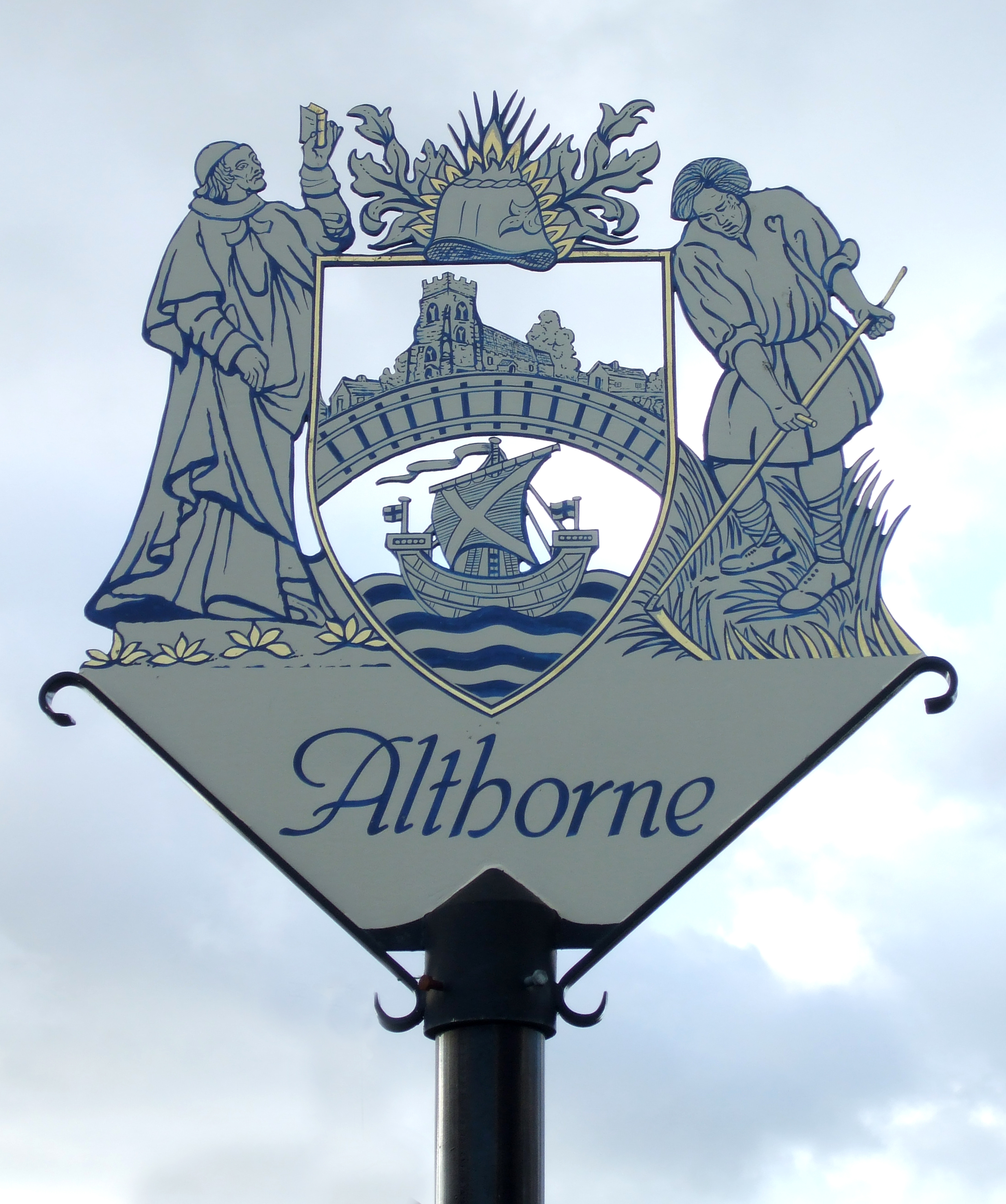
Althorne
Settlement in Essex Maldon
England
Althorne

Althorne is a village located in the Maldon district of Essex, England. Situated on the northern bank of the River Crouch, it lies approximately 45 miles east of London. With a population of around 1,000 residents, Althorne is a small rural community known for its picturesque surroundings and tranquil atmosphere.
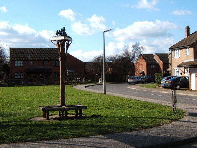
The village is primarily residential, consisting of a mix of historic cottages and modern houses. Althorne boasts a strong sense of community, with various social events and activities organized throughout the year. The local parish church, St. Andrew's, is a prominent feature of the village, dating back to the 13th century and offering a glimpse into Althorne's rich history.
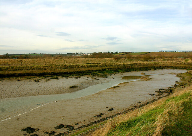
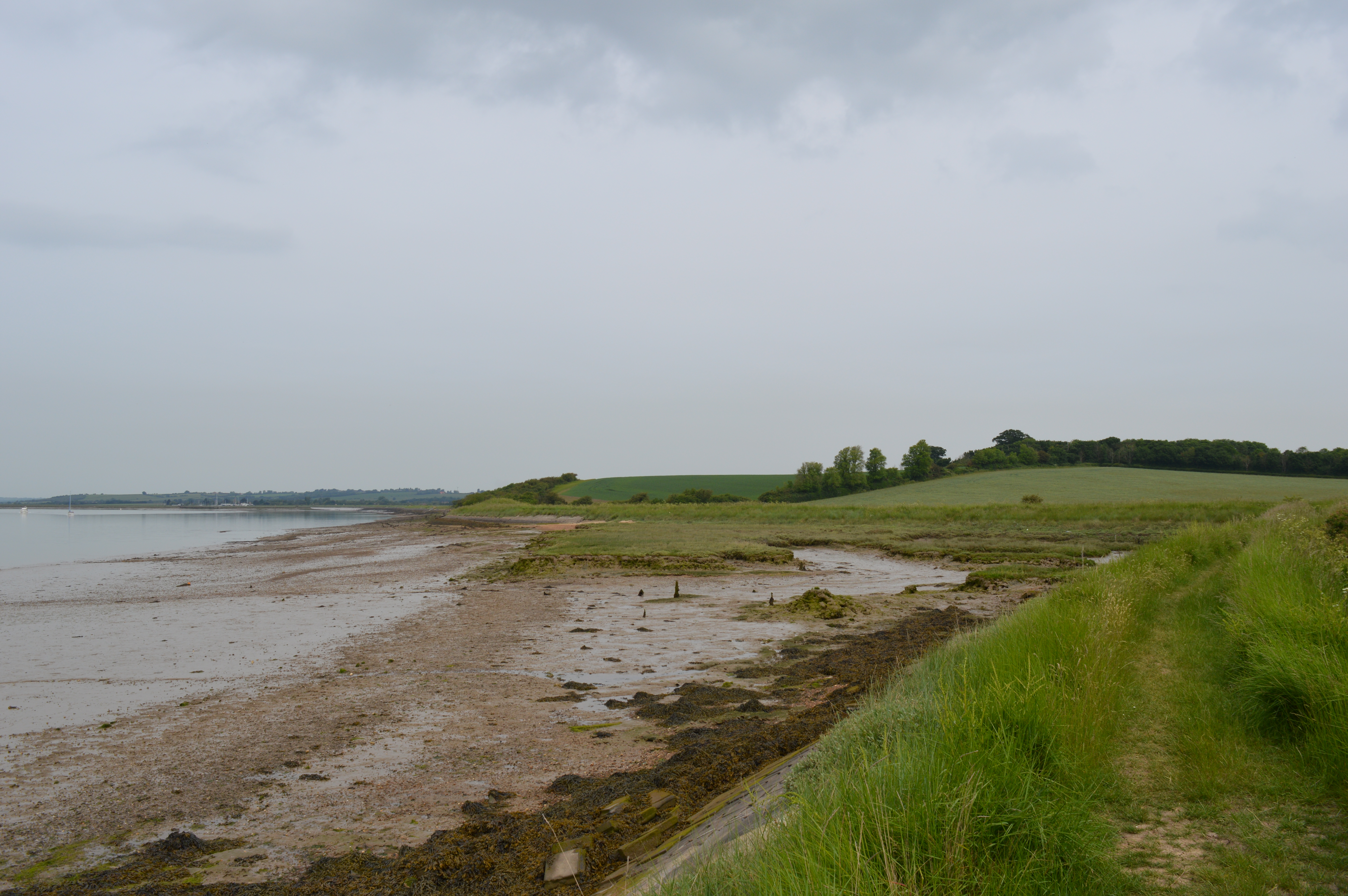
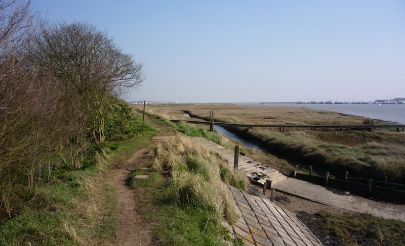
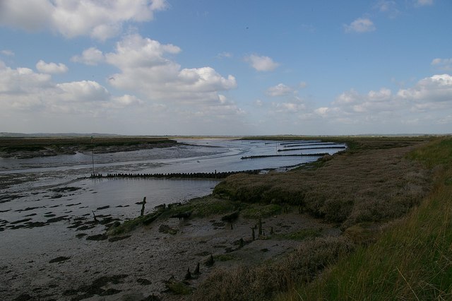
Nature enthusiasts are drawn to Althorne for its proximity to the River Crouch and the surrounding marshland. The area is a haven for wildlife, attracting birdwatchers and nature lovers. The nearby Marsh Farm Country Park provides opportunities for walking, cycling, and enjoying the scenic beauty of the Essex countryside.
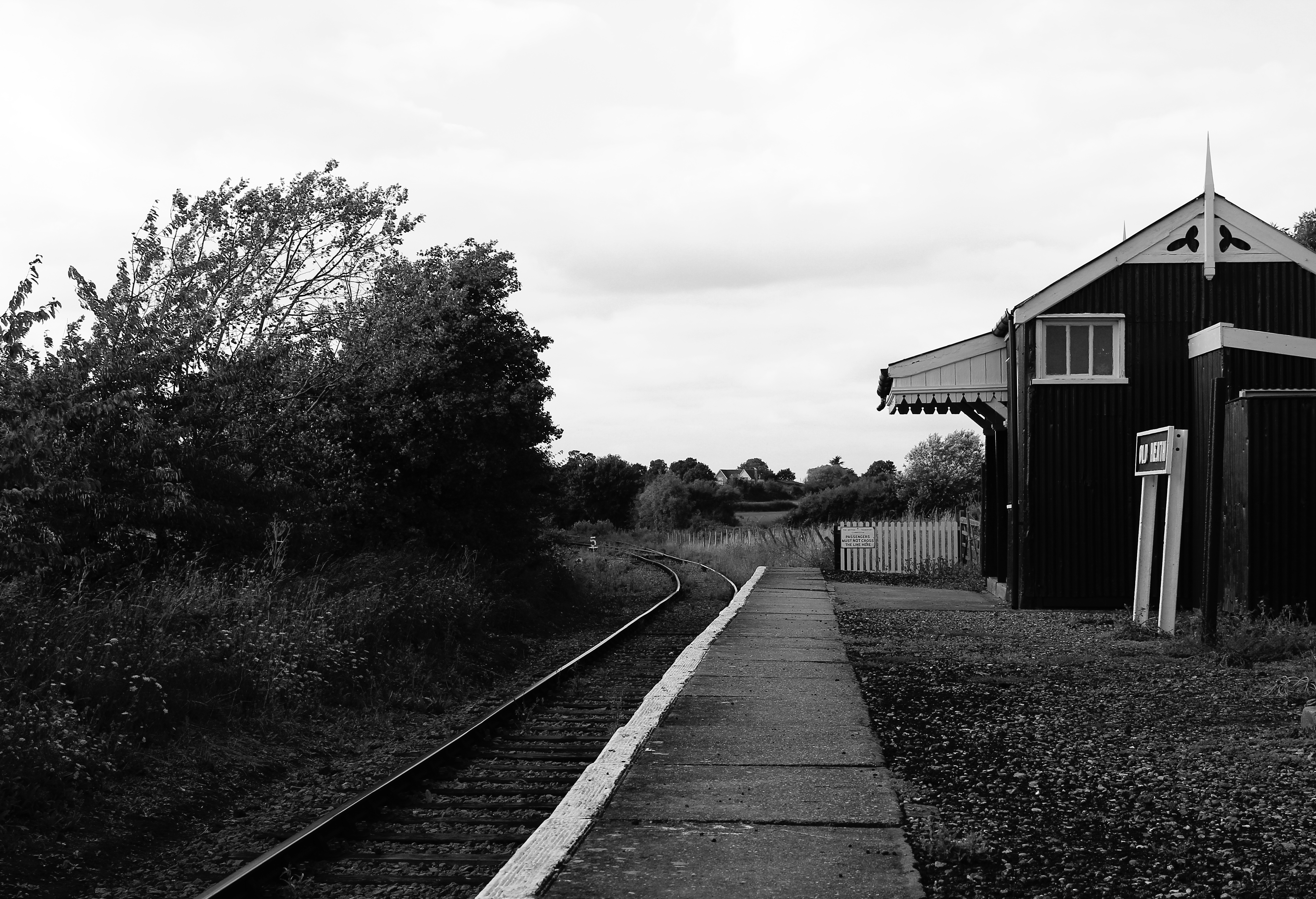
Despite its rural setting, Althorne benefits from good transportation links. The village has its own railway station, offering regular services to London Liverpool Street and Southend-on-Sea. Additionally, the A132 road runs through the village, connecting it to nearby towns and cities.
Overall, Althorne provides a peaceful and idyllic environment for residents and visitors alike, offering a blend of natural beauty, community spirit, and convenient access to urban amenities.
If you have any feedback on the listing, please let us know in the comments section below.
Althorne Images
Images are sourced within 2km of 51.657413/0.765481 or Grid Reference TQ9199. Thanks to Geograph Open Source API. All images are credited.


Althorne is located at Grid Ref: TQ9199 (Lat: 51.657413, Lng: 0.765481)
Administrative County: Essex
District: Maldon
Police Authority: Essex
What 3 Words
///handyman.lift.shipyards. Near Althorne, Essex
Nearby Locations
Related Wikis
Althorne
Althorne is a village and civil parish in Essex, England. It is located 21 km (13 mi) east-southeast from the county town and city of Chelmsford. The village...
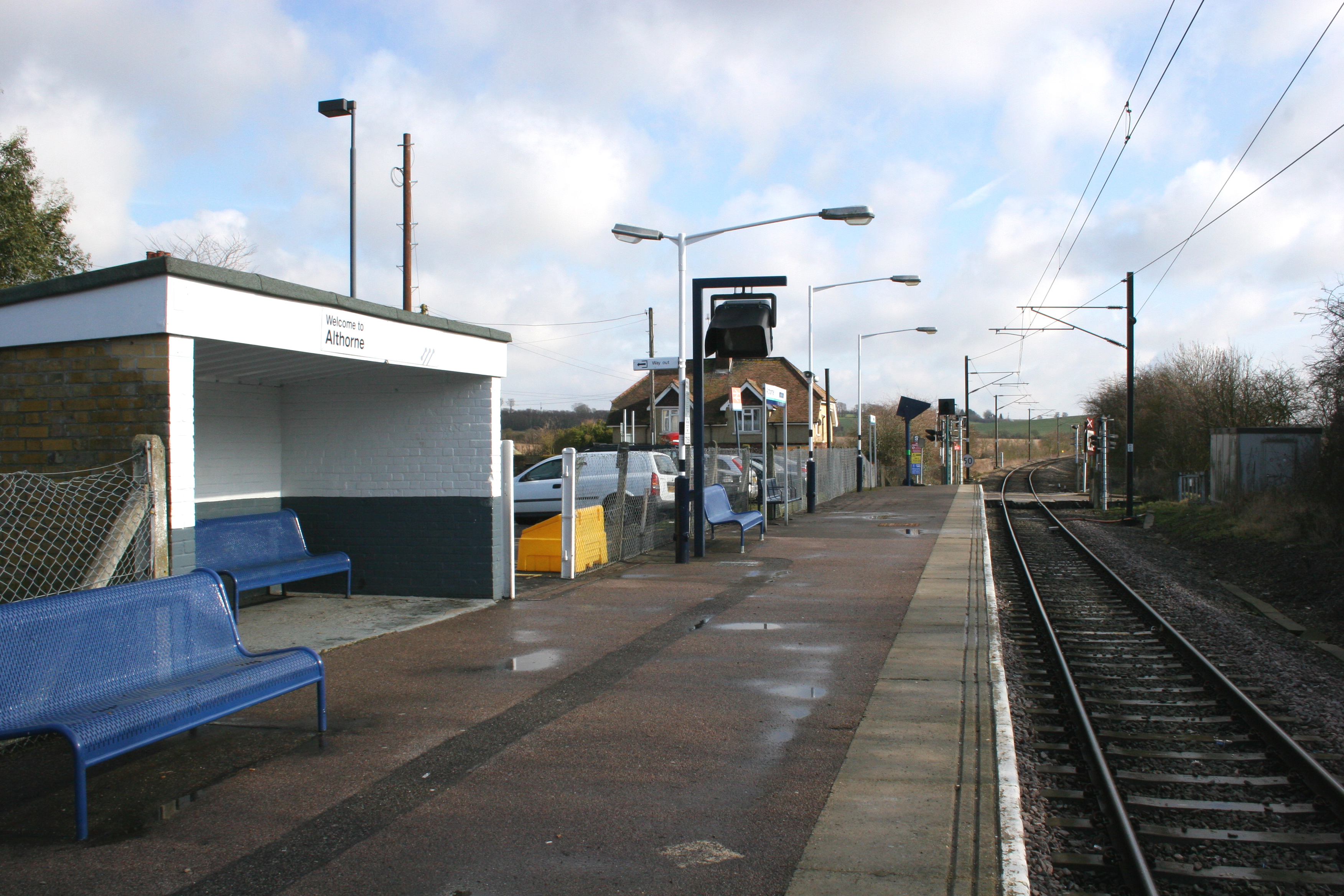
Althorne railway station
Althorne railway station is on the Crouch Valley Line in the East of England, serving the village of Althorne, Essex. It is 40 miles 27 chains (64.92 km...
The Cliff, Burnham-on-Crouch
The Cliff, Burnham-on-Crouch is a 4 hectare geological Site of Special Scientific Interest (SSSI) on the bank of the River Crouch between Burnham-on-Crouch...

Ostend, Essex
Ostend is a hamlet in the English county of Essex. It is located about a mile north-west of the town of Burnham-on-Crouch where the population is included...
Creeksea
Creeksea is a village and former civil parish, now in the parish of Burnham-on-Crouch, in the Maldon district, in the county of Essex, England. It is on...
Bridgemarsh Island
Bridgemarsh Island is in the tidal part of the River Crouch in the English county of Essex, three miles upstream from Burnham-on-Crouch. The main river...
Latchingdon
Latchingdon is a village situated in the Dengie Peninsula in Essex, England, south of the city of Chelmsford. The parish was at one time called Latchingdon...
Mangapps Railway Museum
Mangapps Railway Museum (previously Mangapps Farm Railway Museum) is a heritage railway centre located near Burnham-on-Crouch in Essex, England. The 0...
Nearby Amenities
Located within 500m of 51.657413,0.765481Have you been to Althorne?
Leave your review of Althorne below (or comments, questions and feedback).