Althorpe
Settlement in Lincolnshire
England
Althorpe
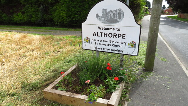
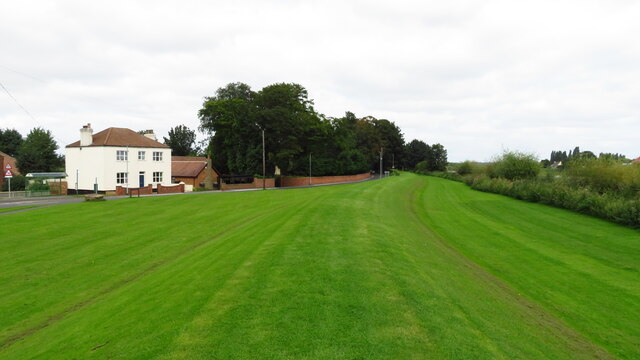
Althorpe is a small village located in the county of Lincolnshire, England. Situated approximately 8 miles north of the city of Lincoln, it is known for its picturesque countryside and rich history. The village lies on the edge of the Lincolnshire Wolds, an Area of Outstanding Natural Beauty.
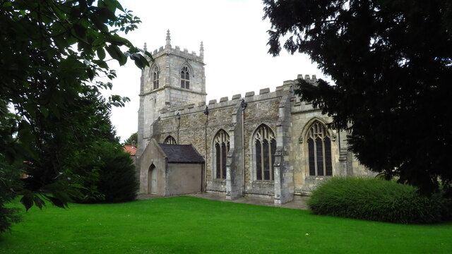
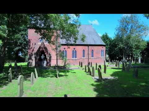
Althorpe is home to a close-knit community, with a population of around 500 residents. The village has a charming and traditional feel, with its stone cottages and well-maintained gardens. The local church, St. John the Baptist, dates back to the 12th century and is a prominent landmark in the area.
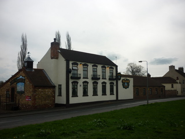
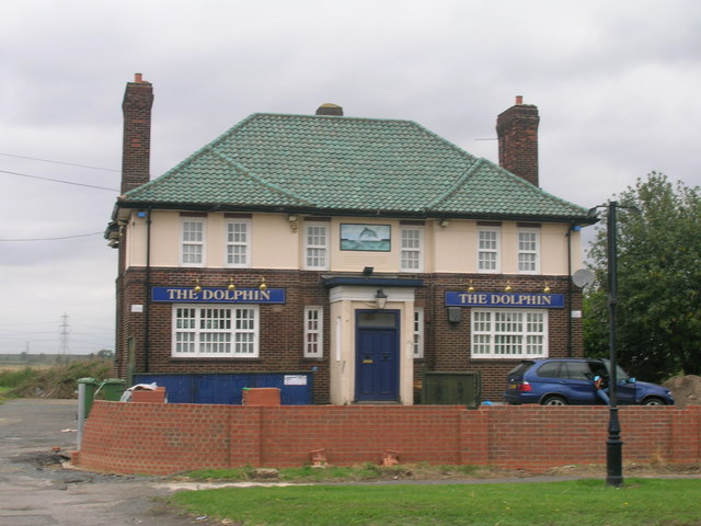
The village offers a range of amenities to its residents. It has a primary school, providing education for young children, and a village hall that hosts various community events and activities. There is also a local pub, The George and Dragon, where locals and visitors can enjoy a traditional English meal or a pint of ale.
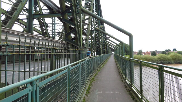
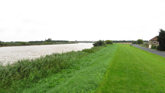
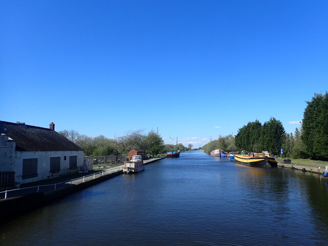
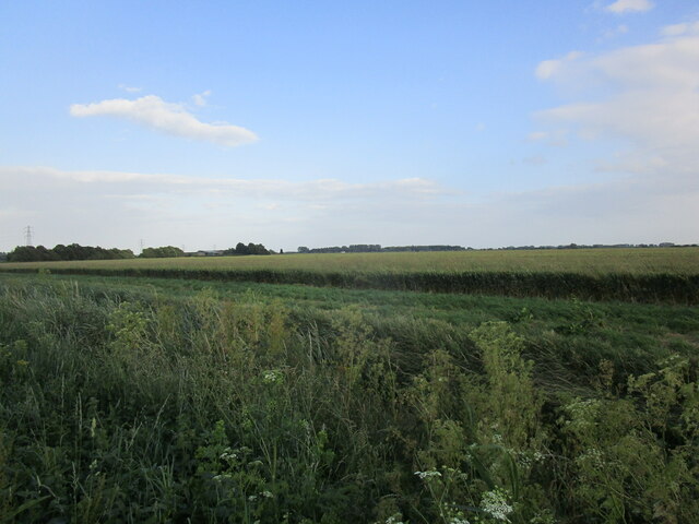
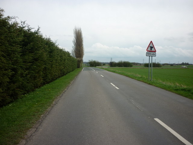
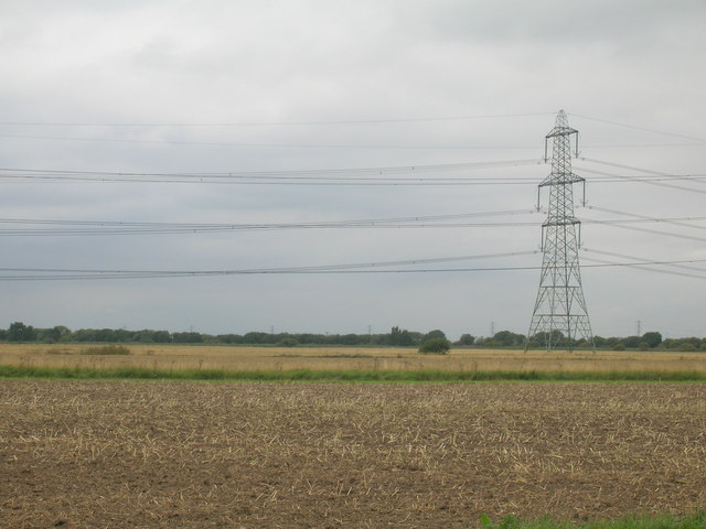
Althorpe is surrounded by beautiful countryside, making it an ideal location for outdoor enthusiasts. There are numerous walking and cycling routes in the area, allowing visitors to explore the stunning landscapes and enjoy the tranquility of the Lincolnshire Wolds. The village is also close to several nature reserves, providing opportunities for birdwatching and wildlife spotting.
Overall, Althorpe offers a peaceful and idyllic setting, with its historic buildings, natural beauty, and strong sense of community. It is a place where residents can enjoy a relaxed and rural lifestyle, away from the hustle and bustle of city living.
If you have any feedback on the listing, please let us know in the comments section below.
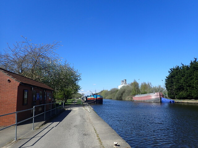
Althorpe Images
Images are sourced within 2km of 53.574994/-0.74455156 or Grid Reference SE8309. Thanks to Geograph Open Source API. All images are credited.

Althorpe is located at Grid Ref: SE8309 (Lat: 53.574994, Lng: -0.74455156)
Division: Parts of Lindsey
Unitary Authority: North Lincolnshire
Police Authority: Humberside
What 3 Words
///ruin.wiped.unearthly. Near Burringham, Lincolnshire
Nearby Locations
Related Wikis
Althorpe
Althorpe is a small village and former civil parish, now in the parish of Keadby with Althorpe, in the North Lincolnshire district, in the ceremonial county...

St John the Baptist's Church, Burringham
St John the Baptist's Church is a redundant Anglican church in the village of Burringham, Lincolnshire, England. It is recorded in the National Heritage...

Burringham
Burringham is a village and civil parish in North Lincolnshire, England. The population of the civil parish at the 2011 census was 737. The village is...
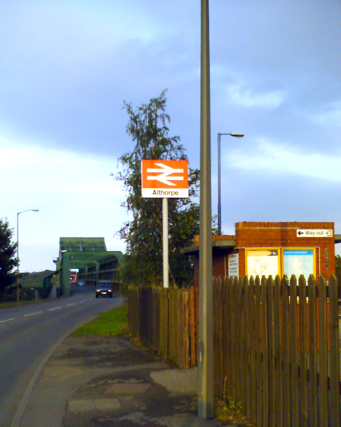
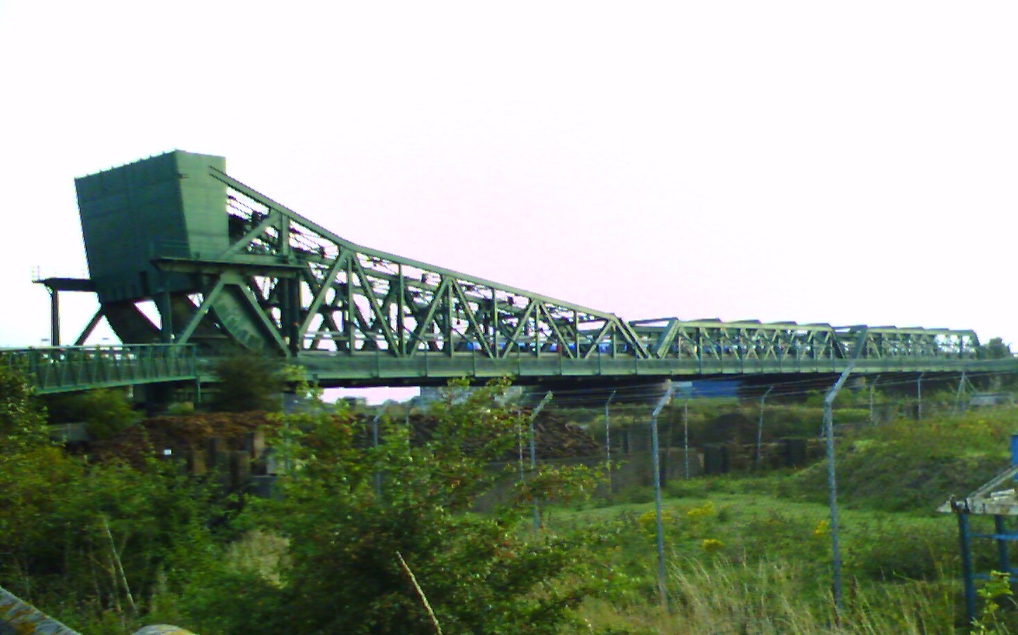
Althorpe railway station
Althorpe railway station serves the village of Althorpe in North Lincolnshire, England. The station is also very close to the villages of Keadby, Gunness...
Related Videos
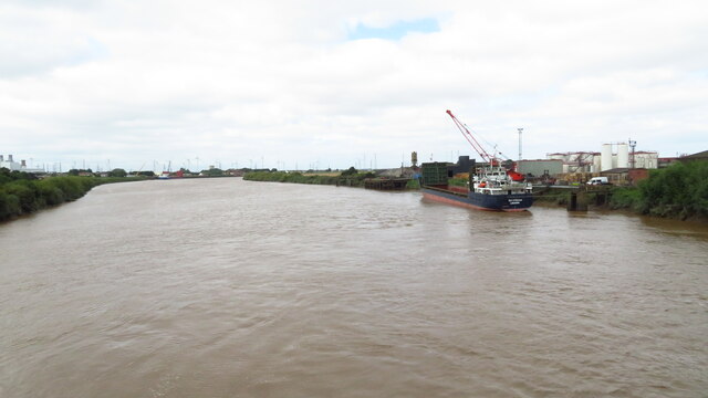
River Trent Burringham, Scunthorpe - with ambient sounds Drone Footage
PLEASE HELP THE CHANNEL BY CLICKING THE LIKE & SUBSCRIBE. Welcome to our channel! Join us on thrilling adventures ...
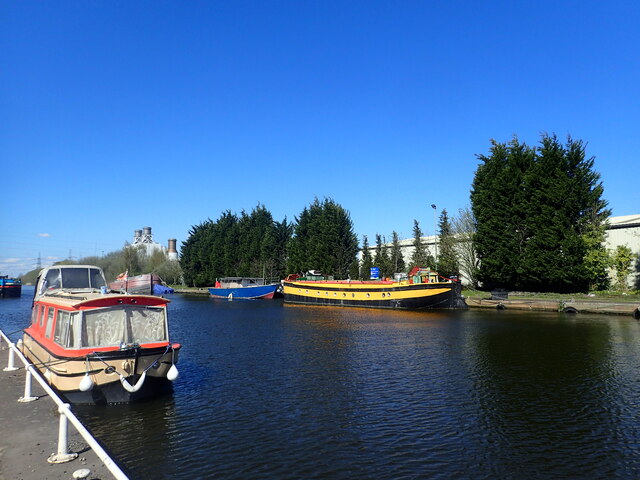
271 - Narrowboating in Storm Ciara
This vlog was filmed on 10th February 2020 In todays we travel from Crowle on the Stainforth and Keadby Canal to Keadby during ...

GUNNESS: North Lincolnshire Parish #7 of 56
Deriving its name from forming a ness or promontory in the River Trent, this is much changed from the settlement that stood here ...
EAST BUTTERWICK: North Lincolnshire Parish #31 of 56
NORTH LINCOLNSHIRE PARISH #31: EAST BUTTERWICK Welcome to East Butterwick, a small village which lies on the banks ...
Nearby Amenities
Located within 500m of 53.574994,-0.74455156Have you been to Althorpe?
Leave your review of Althorpe below (or comments, questions and feedback).