Button's Hill
Hill, Mountain in Essex Maldon
England
Button's Hill

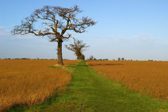
Button's Hill is a small hill located in the county of Essex, England. Situated in the southeastern part of the county, it is part of the larger range of hills known as the Essex Heights. Despite its name, Button's Hill is not a particularly tall or steep hill, more closely resembling a gentle slope or incline.
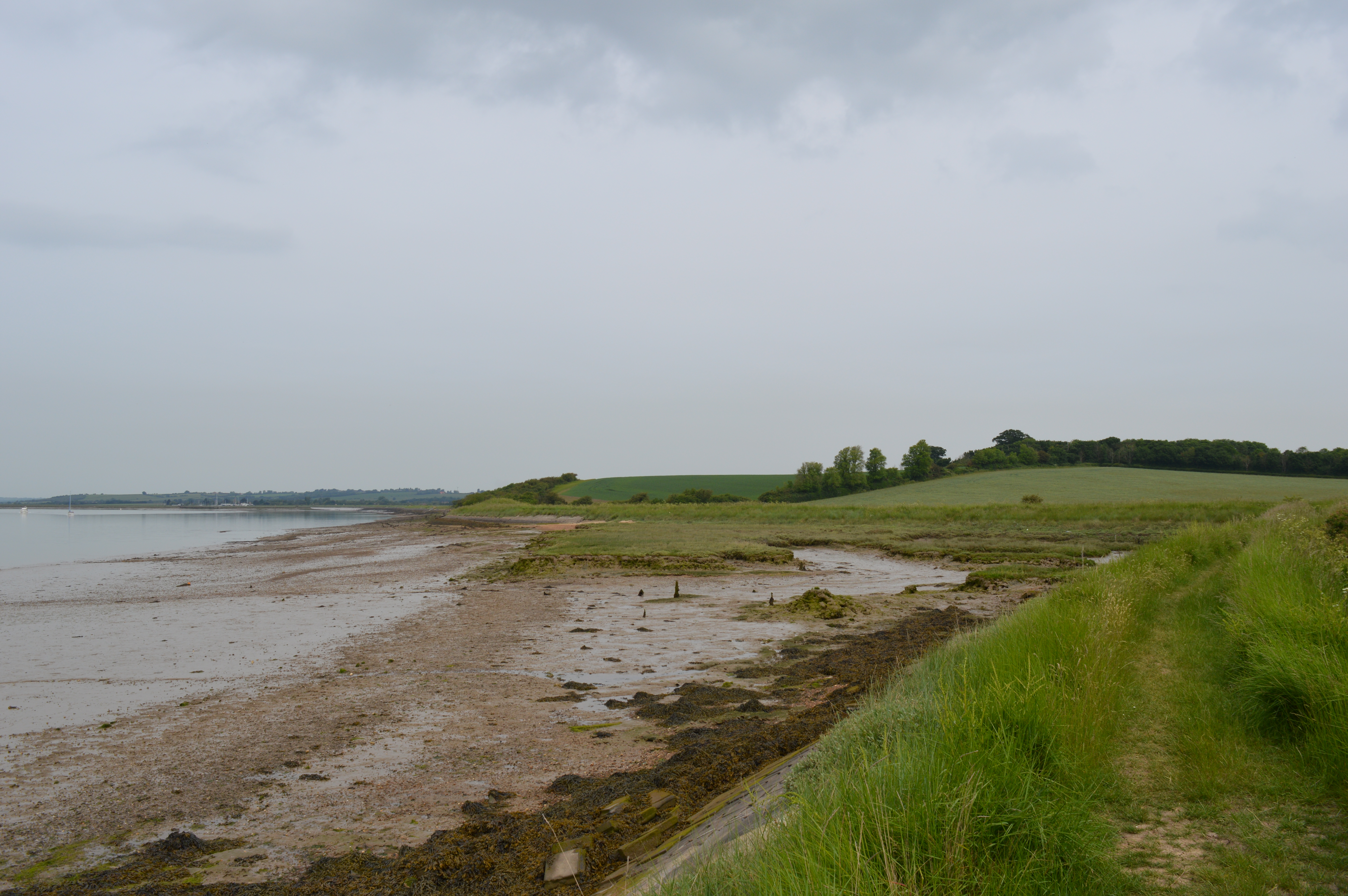
The hill is located near the village of Great Baddow, in close proximity to the town of Chelmsford. It is predominantly covered in grass and is surrounded by agricultural land and open countryside. The hill offers beautiful panoramic views of the surrounding area, including the nearby River Chelmer and the picturesque landscapes of Essex.
Button's Hill is a popular destination for outdoor enthusiasts and nature lovers. It provides opportunities for activities such as walking, hiking, and picnicking. The area is also home to a diverse range of flora and fauna, making it a haven for wildlife enthusiasts and birdwatchers.
The hill takes its name from the Button family, who were prominent landowners in the area during the 19th century. It has remained relatively unchanged over the years, maintaining its natural beauty and tranquility.
Overall, Button's Hill offers a serene and scenic escape from the hustle and bustle of urban life. Its accessibility and natural charm make it a popular destination for locals and visitors alike, seeking a peaceful retreat in the heart of Essex.
If you have any feedback on the listing, please let us know in the comments section below.
Button's Hill Images
Images are sourced within 2km of 51.664221/0.77150902 or Grid Reference TQ9199. Thanks to Geograph Open Source API. All images are credited.


Button's Hill is located at Grid Ref: TQ9199 (Lat: 51.664221, Lng: 0.77150902)
Administrative County: Essex
District: Maldon
Police Authority: Essex
What 3 Words
///towel.rewriting.trackers. Near Althorne, Essex
Nearby Locations
Related Wikis
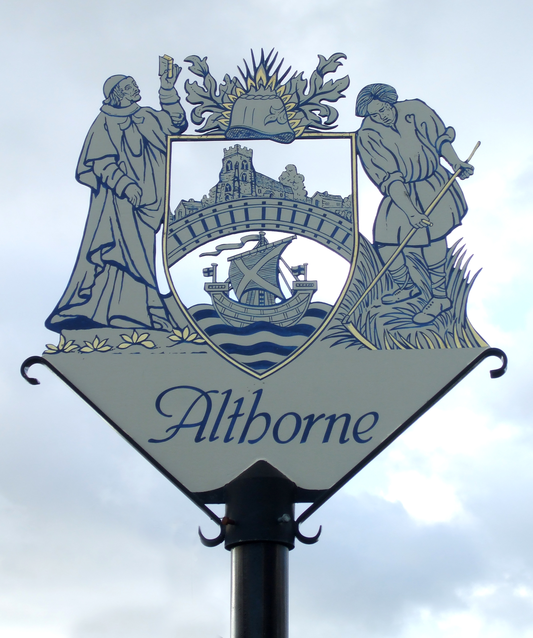
Althorne
Althorne is a village and civil parish in Essex, England. It is located 21 km (13 mi) east-southeast from the county town and city of Chelmsford. The village...
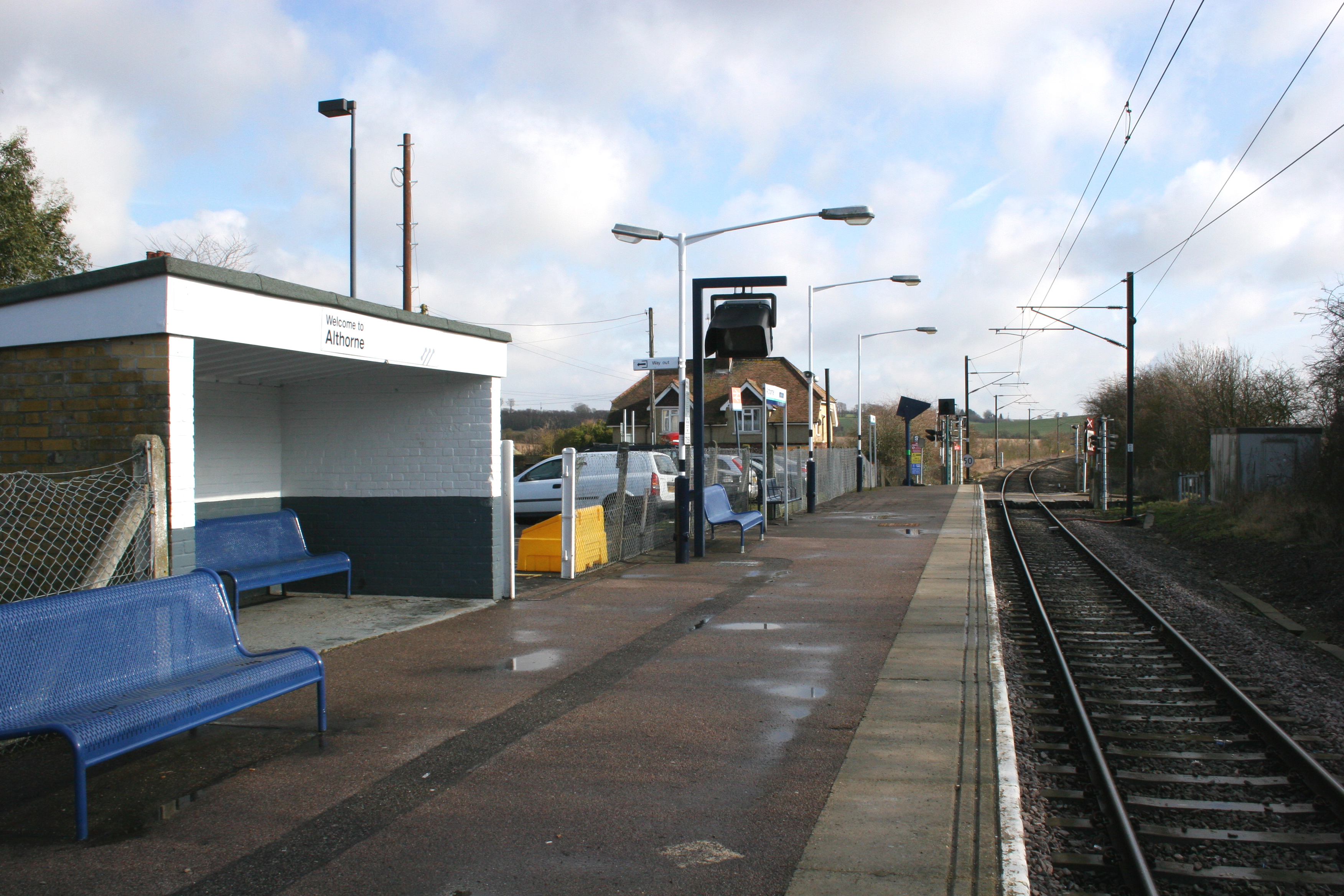
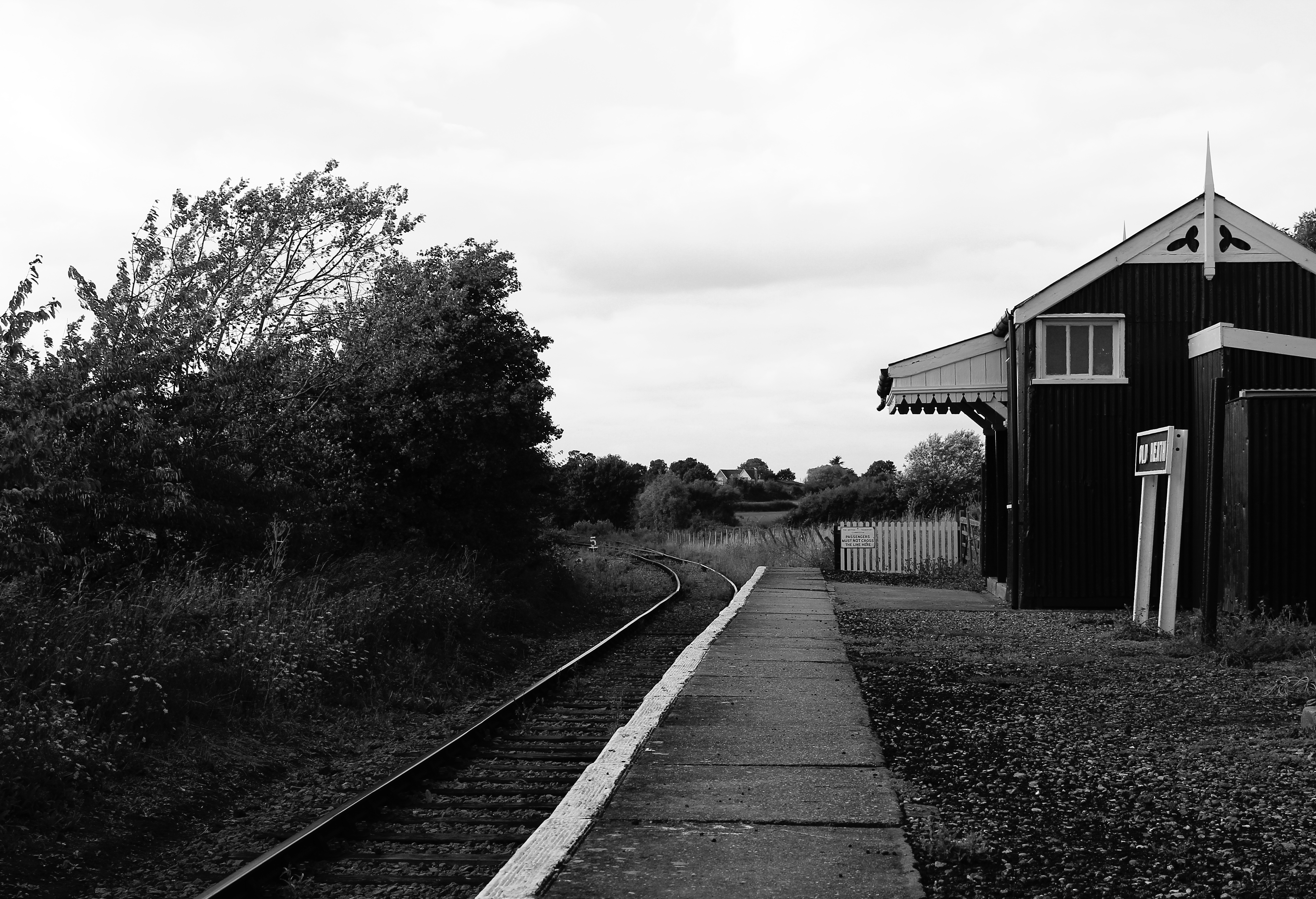
Althorne railway station
Althorne railway station is on the Crouch Valley Line in the East of England, serving the village of Althorne, Essex. It is 40 miles 27 chains (64.92 km...

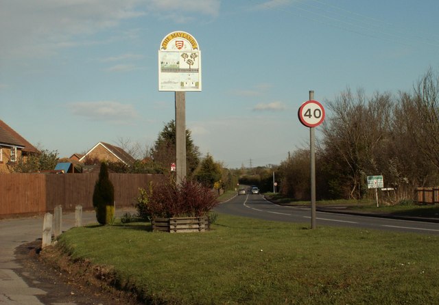
Maylandsea
Maylandsea, and the adjacent Mayland, are villages on the Dengie Peninsula in the English county of Essex. They are part of the Althorne ward of the Maldon...
Ostend, Essex
Ostend is a hamlet in the English county of Essex. It is located about a mile north-west of the town of Burnham-on-Crouch where the population is included...
The Cliff, Burnham-on-Crouch
The Cliff, Burnham-on-Crouch is a 4 hectare geological Site of Special Scientific Interest (SSSI) on the bank of the River Crouch between Burnham-on-Crouch...
Mangapps Railway Museum
Mangapps Railway Museum (previously Mangapps Farm Railway Museum) is a heritage railway centre located near Burnham-on-Crouch in Essex, England. The 0...
Latchingdon
Latchingdon is a village situated in the Dengie Peninsula in Essex, England, south of the city of Chelmsford. The parish was at one time called Latchingdon...

Steeple, Essex
Steeple is a village on the Dengie Peninsula in Essex, England. It is situated just east of Maylandsea and Mayland, on the southern side of the River Blackwater...
Nearby Amenities
Located within 500m of 51.664221,0.77150902Have you been to Button's Hill?
Leave your review of Button's Hill below (or comments, questions and feedback).