Clicket Hill

Hill, Mountain in Suffolk Babergh

England

Clicket Hill

Railway Maltings Single square kiln.
Railway Maltings Credit: Oast House Archive

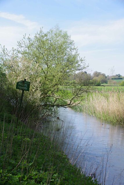
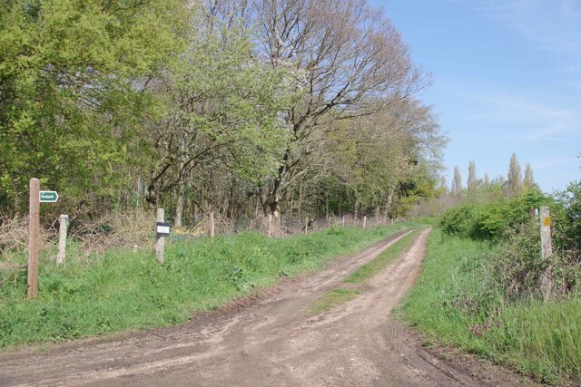
Clicket Hill is a picturesque hill located in the county of Suffolk, England. Situated near the village of Badingham, it is known for its natural beauty and stunning views of the surrounding countryside. While not considered a mountain in the traditional sense, Clicket Hill offers a gentle elevation that provides an ideal spot for recreational activities and leisurely walks.

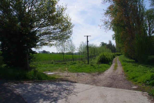
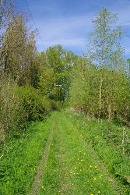
Covered in lush greenery, Clicket Hill is home to a diverse range of flora and fauna, making it a haven for nature enthusiasts. The hill is characterized by its rolling landscape, with a mixture of open fields, meadows, and wooded areas. This variety of habitats attracts a wide range of wildlife, including birds, small mammals, and insects.

At the summit of Clicket Hill, visitors are rewarded with panoramic views of the Suffolk countryside. On a clear day, it is possible to see for miles, with the distant towns and villages dotting the horizon. The vista is especially breathtaking during sunrise or sunset, when the sky is painted with vibrant hues of orange and pink.

The hill has become increasingly popular with locals and tourists alike, who come to enjoy its tranquil atmosphere and natural beauty. Walking trails wind their way through the hill, offering visitors the chance to explore its many facets. Whether it is a leisurely stroll or a more challenging hike, Clicket Hill has something to offer for everyone.

Overall, Clicket Hill is a hidden gem in Suffolk, offering a peaceful retreat from the bustle of everyday life. With its stunning views and diverse wildlife, it is a place where visitors can immerse themselves in the beauty of the natural world.

If you have any feedback on the listing, please let us know in the comments section below.
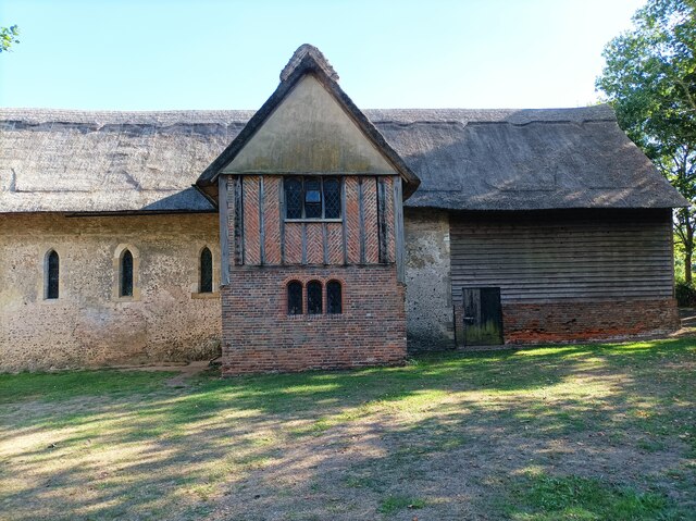
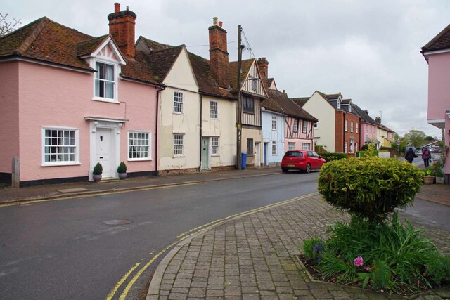
Clicket Hill Images

Images are sourced within 2km of 51.967971/0.7899424 or Grid Reference TL9133. Thanks to Geograph Open Source API. All images are credited.

Railway Maltings Single square kiln.
Railway Maltings
Single square kiln.
Railway Maltings -
Railway Maltings
-
St Stephen's Chapel St Stephen's Chapel, Bures, near the viewpoint for the Bures Dragon.
St Stephen's Chapel
St Stephen's Chapel, Bures, near the viewpoint for the Bures Dragon.
Bridge St Bures Looking from Bures St Mary Suffolk across the bridge to Bures Hamlet Essex.
Bridge St Bures
Looking from Bures St Mary Suffolk across the bridge to Bures Hamlet Essex.
River Stour in Bures Essex to the left Suffolk to the right.
River Stour in Bures
Essex to the left Suffolk to the right.
Pillbox on Bridge St Looking in the direction of the Station.
Pillbox on Bridge St
Looking in the direction of the Station.
Eight Bells and Village Sign Looking across the B1508  Colchester Road.
Eight Bells and Village Sign
Looking across the B1508 Colchester Road.
Bures Hamlet Junction This is the junction of Station Hill (Left), Colchester Road (Aft) and Bridge Street (Right)
Bures Hamlet Junction
This is the junction of Station Hill (Left), Colchester Road (Aft) and Bridge Street (Right)
Bures Hamlet Footpath 7 to Lamarsh This is public right of way 70_7 heading for Lamarsh.
Bures Hamlet Footpath 7 to Lamarsh
This is public right of way 70_7 heading for Lamarsh.
Blossom by Footpath 7 Looking towards Lamarsh on the Stour Valley Path
Blossom by Footpath 7
Looking towards Lamarsh on the Stour Valley Path
Onions by the Stour Valley path Looking towards Lamarsh on footpath 7.
Onions by the Stour Valley path
Looking towards Lamarsh on footpath 7.
Bures Railway Station Looking towards Sudbury
Bures Railway Station
Looking towards Sudbury
The Three Horseshoes Local lore has it that in the uncivilised days of compulsory afternoon pub closures. Suffolk hours were ten o'clock until two. At the ding of the last orders bell thirsty punters in the Horseshoes would dash off to the Eight Bells. This of course kept  the Essex opening hours of eleven o'clock until two thirty. See <a href="https://www.geograph.org.uk/photo/7470974">TL9033 : Eight Bells and Village Sign</a>
The Three Horseshoes
Local lore has it that in the uncivilised days of compulsory afternoon pub closures. Suffolk hours were ten o'clock until two. At the ding of the last orders bell thirsty punters in the Horseshoes would dash off to the Eight Bells. This of course kept the Essex opening hours of eleven o'clock until two thirty. See TL9033 : Eight Bells and Village Sign
Nayland Road In Bures St Mary Suffolk
Nayland Road
In Bures St Mary Suffolk
Bures St Mary Footpath 14 This footpath comes out near Smallbridge  Farm see <a href="https://www.geograph.org.uk/photo/7471221">TL9233 : Footpath by Smallbridge Farm</a>
Bures St Mary Footpath 14
This footpath comes out near Smallbridge Farm see TL9233 : Footpath by Smallbridge Farm
Looking Back Towards Bures On Bures St Mary Footpath 14
Looking Back Towards Bures
On Bures St Mary Footpath 14
River Stour Near Clicket Hill Looking from Suffolk into Essex
River Stour Near Clicket Hill
Looking from Suffolk into Essex
The Way to Windwhistle Ridge The little sign on the post points to Windwhistle Ridge see <span class="nowrap"><a title="http://www.bures-online.co.uk/Hugh/pdf/5Windwhistle..pdf" rel="nofollow ugc noopener" href="http://www.bures-online.co.uk/Hugh/pdf/5Windwhistle..pdf">Link</a><img style="margin-left:2px;" alt="External link" title="External link - shift click to open in new window" src="https://s1.geograph.org.uk/img/external.png" width="10" height="10"/></span> the wood to the left is Clicket Hill Wood.
The Way to Windwhistle Ridge
The little sign on the post points to Windwhistle Ridge see LinkExternal link the wood to the left is Clicket Hill Wood.
Show me another place!

Clicket Hill is located at Grid Ref: TL9133 (Lat: 51.967971, Lng: 0.7899424)

Administrative County: Suffolk

District: Babergh

Police Authority: Suffolk

What 3 Words

///beaters.acid.bookshop. Near Bures St Mary, Suffolk

Related Wikis

Bures St Mary

Bures St Mary is a civil parish in the Babergh district of the English county of Suffolk. In 2005 it had a population of 940, reducing to 918 at the 2011...

Bures, England

Bures is a village in eastern England that straddles the Essex/Suffolk border, made up of two civil parishes: Bures Hamlet in Essex and Bures St. Mary...

Smallbridge Hall

Smallbridge Hall is a Grade II* listed English country house in Bures St. Mary, Suffolk, near Colchester, England. The house is partially surrounded by...

Bures railway station

Bures railway station is on the Gainsborough Line, a branch off the Great Eastern Main Line to Sudbury, in the East of England, serving the village of...

Bures Hamlet

Bures Hamlet is a civil parish in the Braintree district of Essex, England. At the 2011 census, it had a population of 749.The parish covers the western...

Tiger Hill, Suffolk

Tiger Hill is a 21 hectare Local Nature Reserve between Bures St Mary and Leavenheath in Suffolk. It is owned by [a group of landowners and declared under...

Wormingford

Wormingford is a village and civil parish in the City of Colchester district of Essex, England. The ancient parish of Wormingford on the south bank of...

Mount Bures

Mount Bures is a small village in England on the Essex and Suffolk borders. It takes its name from the mount or motte believed to have been built shortly...

Nearby Amenities

Located within 500m of 51.967971,0.7899424
Barrier: kissing_gate
Lat/Long: 51.9642303/0.7931444
The data included in this document is from www.openstreetmap.org. The data is made available under ODbL.

Have you been to Clicket Hill?

Leave your review of Clicket Hill below (or comments, questions and feedback).