Broom Hill Plantation

Wood, Forest in Suffolk Babergh

England

Broom Hill Plantation

Railway Maltings Single square kiln.
Railway Maltings Credit: Oast House Archive

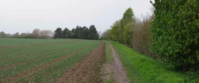
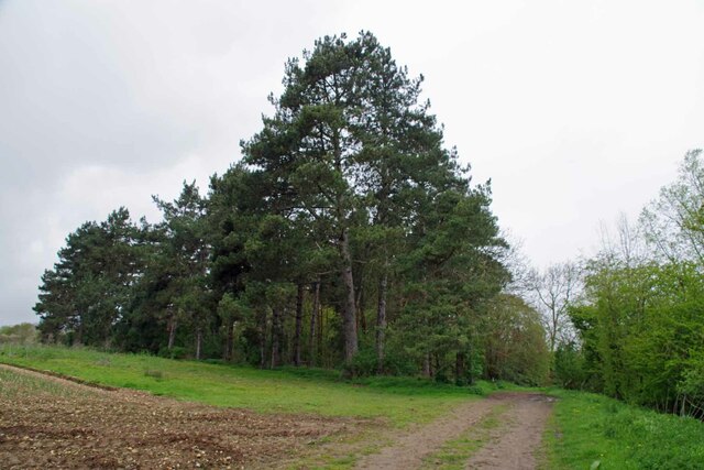
Broom Hill Plantation is a picturesque woodland located in Suffolk, England. Situated near the village of Woodbridge, the plantation covers a vast area of approximately 250 acres, making it a significant forested area in the region. The plantation is known for its diverse range of tree species, including oak, beech, and pine, which form a dense canopy, creating a tranquil and enchanting atmosphere.

Visitors to Broom Hill Plantation are greeted with well-maintained trails that wind through the woodland, providing a perfect setting for leisurely walks, jogging, or cycling. The paths are easily accessible and suitable for people of all ages and fitness levels. The plantation is also popular among nature enthusiasts and birdwatchers, as it is home to a variety of wildlife, including deer, foxes, and numerous bird species.

The management of Broom Hill Plantation places great emphasis on conservation and sustainability. The woodland is carefully maintained to promote biodiversity and preserve the natural environment. This includes regular tree planting initiatives and the protection of existing habitats.

The plantation offers visitors a range of amenities, including picnic areas, benches, and information boards that provide insight into the local flora and fauna. These facilities make Broom Hill Plantation an ideal destination for families and nature lovers looking to spend a day immersed in nature.

Overall, Broom Hill Plantation in Suffolk is a captivating woodland that offers a peaceful retreat from the hustle and bustle of modern life. Its stunning scenery, well-maintained trails, and commitment to conservation make it a must-visit destination for anyone seeking a connection with nature.

If you have any feedback on the listing, please let us know in the comments section below.

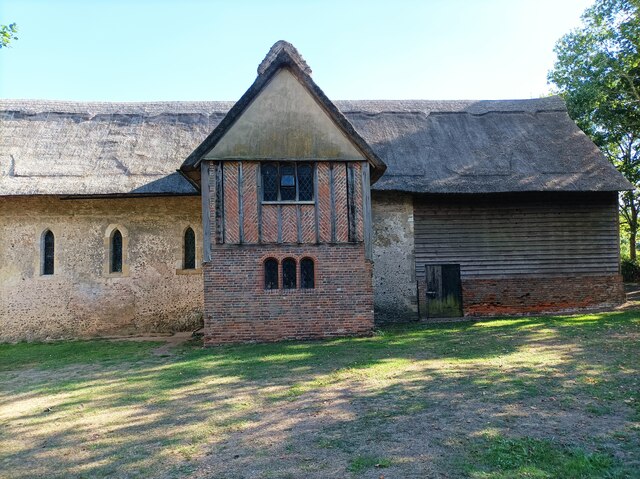
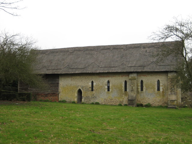
Broom Hill Plantation Images

Images are sourced within 2km of 51.971288/0.78508131 or Grid Reference TL9133. Thanks to Geograph Open Source API. All images are credited.

Railway Maltings Single square kiln.
Railway Maltings
Single square kiln.
Railway Maltings -
Railway Maltings
-
St Stephen's Chapel St Stephen's Chapel, Bures, near the viewpoint for the Bures Dragon.
St Stephen's Chapel
St Stephen's Chapel, Bures, near the viewpoint for the Bures Dragon.
Bridge St Bures Looking from Bures St Mary Suffolk across the bridge to Bures Hamlet Essex.
Bridge St Bures
Looking from Bures St Mary Suffolk across the bridge to Bures Hamlet Essex.
River Stour in Bures Essex to the left Suffolk to the right.
River Stour in Bures
Essex to the left Suffolk to the right.
Pillbox on Bridge St Looking in the direction of the Station.
Pillbox on Bridge St
Looking in the direction of the Station.
Eight Bells and Village Sign Looking across the B1508  Colchester Road.
Eight Bells and Village Sign
Looking across the B1508 Colchester Road.
Bures Hamlet Junction This is the junction of Station Hill (Left), Colchester Road (Aft) and Bridge Street (Right)
Bures Hamlet Junction
This is the junction of Station Hill (Left), Colchester Road (Aft) and Bridge Street (Right)
Bures Hamlet Footpath 7 to Lamarsh This is public right of way 70_7 heading for Lamarsh.
Bures Hamlet Footpath 7 to Lamarsh
This is public right of way 70_7 heading for Lamarsh.
Blossom by Footpath 7 Looking towards Lamarsh on the Stour Valley Path
Blossom by Footpath 7
Looking towards Lamarsh on the Stour Valley Path
Onions by the Stour Valley path Looking towards Lamarsh on footpath 7.
Onions by the Stour Valley path
Looking towards Lamarsh on footpath 7.
Willows by Footpath 7 Looking towards Lamarsh.
Willows by Footpath 7
Looking towards Lamarsh.
Path 7 Panorama The Stour Valley path passes by a field of onions.
Path 7 Panorama
The Stour Valley path passes by a field of onions.
Spinney of Pines by Footpath 7 Heading towards Lamarsh on Footpath 7
Spinney of Pines by Footpath 7
Heading towards Lamarsh on Footpath 7
Private Bridge to Suffolk This farm bridge crosses the Essex Suffolk border.
Private Bridge to Suffolk
This farm bridge crosses the Essex Suffolk border.
Willows by the River Stour Looking from Essex into Suffolk.
Willows by the River Stour
Looking from Essex into Suffolk.
Bures Railway Station Looking towards Sudbury
Bures Railway Station
Looking towards Sudbury
The Three Horseshoes Local lore has it that in the uncivilised days of compulsory afternoon pub closures. Suffolk hours were ten o'clock until two. At the ding of the last orders bell thirsty punters in the Horseshoes would dash off to the Eight Bells. This of course kept  the Essex opening hours of eleven o'clock until two thirty. See <a href="https://www.geograph.org.uk/photo/7470974">TL9033 : Eight Bells and Village Sign</a>
The Three Horseshoes
Local lore has it that in the uncivilised days of compulsory afternoon pub closures. Suffolk hours were ten o'clock until two. At the ding of the last orders bell thirsty punters in the Horseshoes would dash off to the Eight Bells. This of course kept the Essex opening hours of eleven o'clock until two thirty. See TL9033 : Eight Bells and Village Sign
Show me another place!

Broom Hill Plantation is located at Grid Ref: TL9133 (Lat: 51.971288, Lng: 0.78508131)

Administrative County: Suffolk

District: Babergh

Police Authority: Suffolk

What 3 Words

///buying.exile.reclining. Near Bures St Mary, Suffolk

Related Wikis

Bures St Mary

Bures St Mary is a civil parish in the Babergh district of the English county of Suffolk. In 2005 it had a population of 940, reducing to 918 at the 2011...

Bures, England

Bures is a village in eastern England that straddles the Essex/Suffolk border, made up of two civil parishes: Bures Hamlet in Essex and Bures St. Mary...

Bures Hamlet

Bures Hamlet is a civil parish in the Braintree district of Essex, England. At the 2011 census, it had a population of 749. The parish covers the western...

Bures railway station

Bures railway station is on the Gainsborough Line, a branch off the Great Eastern Main Line to Sudbury, in the East of England, serving the village of...

Nearby Amenities

Located within 500m of 51.971288,0.78508131
Barrier: kissing_gate
Lat/Long: 51.9698731/0.7782336
Speed Display
Lat/Long: 51.9701933/0.7789779
The data included in this document is from www.openstreetmap.org. The data is made available under ODbL.

Have you been to Broom Hill Plantation?

Leave your review of Broom Hill Plantation below (or comments, questions and feedback).