Knight's Hill
Hill, Mountain in Suffolk Babergh
England
Knight's Hill

Knight's Hill is a prominent hill located in the county of Suffolk, England. Situated near the village of Stoke-by-Nayland, it is part of the Dedham Vale Area of Outstanding Natural Beauty. Despite its name, Knight's Hill is not technically a mountain but rather a hill, standing at an elevation of approximately 98 meters (322 feet) above sea level.
The hill boasts picturesque views of the surrounding countryside, with its summit offering panoramic vistas of the Dedham Vale and the Stour Valley. Its gentle slopes are covered in lush greenery, making it an ideal spot for nature enthusiasts and hikers to explore the area's natural beauty.
Knight's Hill is also home to a variety of flora and fauna, adding to its ecological significance. The hillside features an array of wildflowers, including bluebells and primroses, which create a colorful carpet during the spring season. In addition, the area supports a diverse range of bird species, making it a popular destination for birdwatchers.
The location of Knight's Hill also holds historical significance. It is believed to have been named after the knights who once roamed the area during the medieval period. Ruins of an ancient castle, known as Stoke Castle, can be found at the foot of the hill, further adding to its historical charm.
Overall, Knight's Hill offers visitors a chance to immerse themselves in the natural beauty and historical heritage of Suffolk. Whether one is seeking stunning vistas, a peaceful hike, or a glimpse into the past, Knight's Hill provides an idyllic setting for exploration and appreciation of the English countryside.
If you have any feedback on the listing, please let us know in the comments section below.
Knight's Hill Images
Images are sourced within 2km of 52.138543/0.79913277 or Grid Reference TL9152. Thanks to Geograph Open Source API. All images are credited.


Knight's Hill is located at Grid Ref: TL9152 (Lat: 52.138543, Lng: 0.79913277)
Administrative County: Suffolk
District: Babergh
Police Authority: Suffolk
What 3 Words
///responses.tailors.hourglass. Near Lavenham, Suffolk
Nearby Locations
Related Wikis

Rooksey Green
Rooksey Green is a hamlet in the parish of Preston St Mary, in the Babergh District in the English county of Suffolk. == Other nearby settlements == Other...
Cockfield Windmill
Cockfield Mill is a tower mill at Cockfield, Suffolk, England, which has been converted to residential accommodation. == History == Cockfield Mill was...
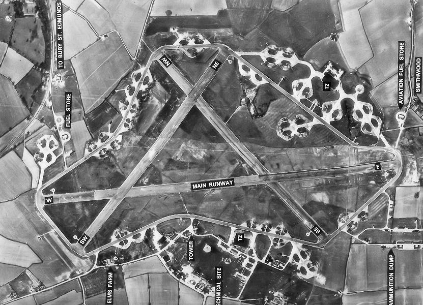
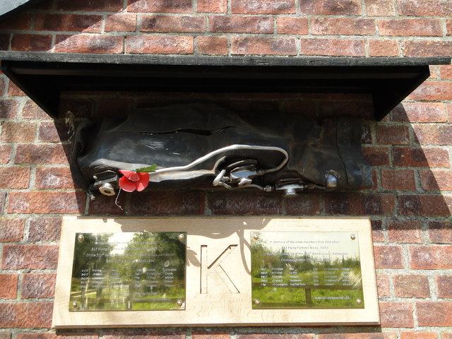
RAF Lavenham
RAF Lavenham (also known as Cockfield) is a former World War II airfield in England. The field is located 7 miles (11 km) N of Sudbury in Suffolk, near...

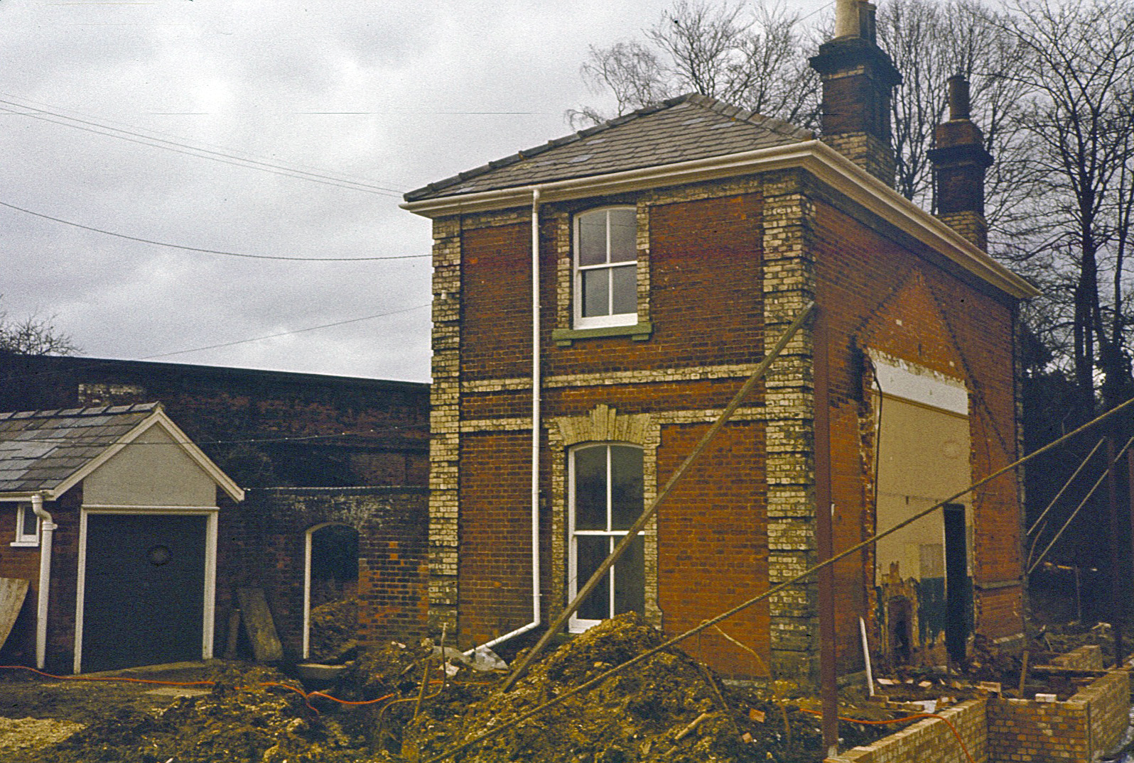
Cockfield railway station
Cockfield railway station was on the Long Melford-Bury St Edmunds branch line in Cockfield, Suffolk. The station building still stands, but is in a semi...

Bull's Wood
Bull's Wood is a 12 hectare nature reserve east of Cockfield in Suffolk, England. It is managed by the Suffolk Wildlife Trust, and is part of the Thorpe...
Cockfield, Suffolk
Cockfield is a village and civil parish located approximately 3+1⁄2 miles (5.6 km) from Lavenham in Suffolk, England. The village consists of a central...

Thorpe Morieux
Thorpe Morieux ( Mə-ROO) is a small village and civil parish in Suffolk, England. It is 10 miles south-east of Bury St Edmunds and 10 miles north east...
Lavenham railway station
Lavenham railway station was a station in Lavenham, Suffolk, on the Long Melford–Bury St Edmunds branch line. It closed to passengers in 1961, and the...
Related Videos
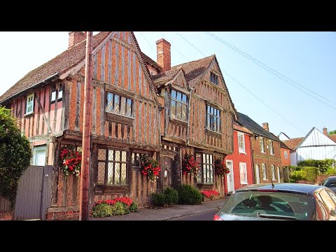
Lavenham Village Walk, English Countryside 4K
https://www.buymeacoffee.com/Daveswalks All support is hugely appreciated and it helps me keep the channel going! No talking ...

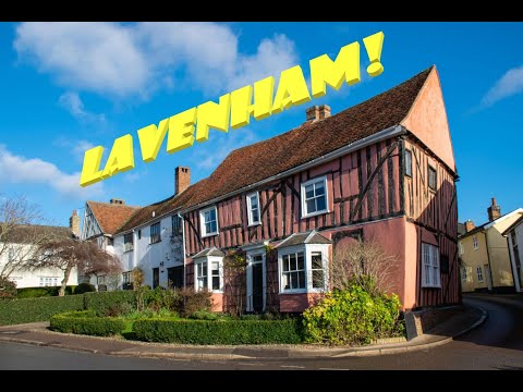
A Trip to Lavenham
Join us for a quick trip to the picturesque old wool town of Lavenham! The main draw here are all the wonky half-timbered ...

Nearby Amenities
Located within 500m of 52.138543,0.79913277Have you been to Knight's Hill?
Leave your review of Knight's Hill below (or comments, questions and feedback).