Altham

Settlement in Lancashire Hyndburn

England

Altham

Castle Clough Farm View from the Leeds & Liverpool Canal towpath of the complex which appears to be used for various businesses.
Castle Clough Farm Credit: Kevin Waterhouse

Altham is a small village located in the county of Lancashire, England. Situated on the banks of the River Calder, it is part of the Hyndburn district. Altham is approximately 4 miles northeast of the larger town of Accrington and about 25 miles north of the city of Manchester.

Historically, Altham was an agricultural community, known for its fertile soils and farming activities. Over time, it has developed into a mixed community, with a blend of residential, commercial, and industrial areas. The village is surrounded by picturesque countryside, offering beautiful views and opportunities for outdoor activities.

Altham is home to several notable landmarks, including Altham St James' Church, a Grade II listed building of historical significance. The church dates back to the 13th century and features impressive architectural elements. Additionally, Altham has a primary school, providing education for the local children.

The village benefits from good transportation links, with easy access to major roads such as the M65 and A56. This allows residents to easily commute to nearby towns and cities for work or leisure purposes.

Altham has a close-knit community, with various local amenities, including shops, pubs, and recreational facilities. The village hosts a range of events throughout the year, fostering a sense of community spirit.

Overall, Altham offers a peaceful and picturesque setting, making it an attractive place to live for those seeking a balance between rural charm and accessibility to urban areas.

If you have any feedback on the listing, please let us know in the comments section below.
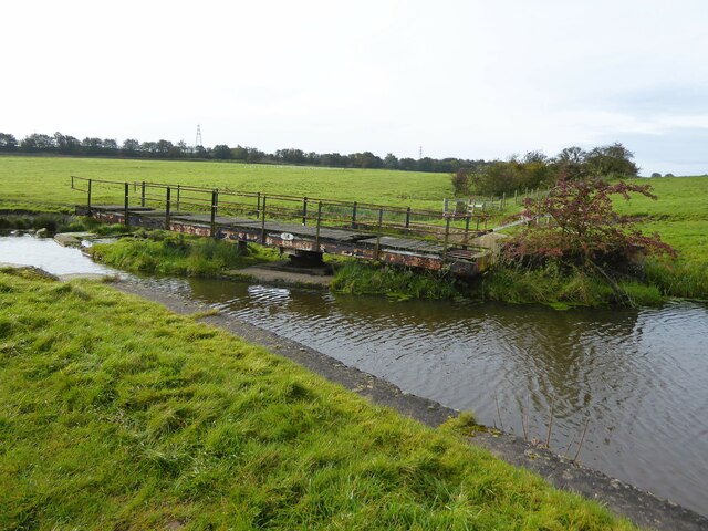
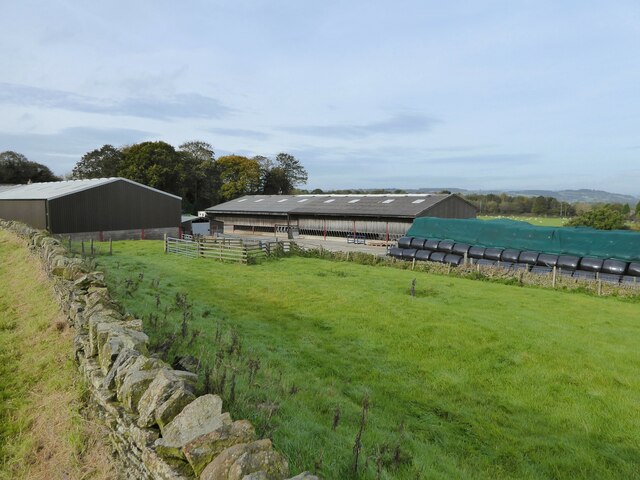
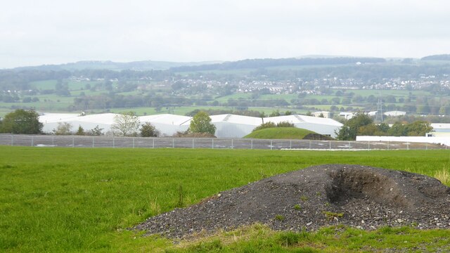
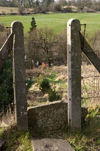
Altham Images

Images are sourced within 2km of 53.789598/-2.347325 or Grid Reference SD7732. Thanks to Geograph Open Source API. All images are credited.

Castle Clough Farm View from the Leeds & Liverpool Canal towpath of the complex which appears to be used for various businesses.
Castle Clough Farm
View from the Leeds & Liverpool Canal towpath of the complex which appears to be used for various businesses.
Leeds and Liverpool Canal Following the contours around Castle Clough towards Shuttleworth Hall
Leeds and Liverpool Canal
Following the contours around Castle Clough towards Shuttleworth Hall
Higher Shuttleworth Bridge No.120 On the Leeds & Liverpool Canal, an iron bridge carrying the plate Dallam Forge, Warrington
Higher Shuttleworth Bridge No.120
On the Leeds & Liverpool Canal, an iron bridge carrying the plate Dallam Forge, Warrington
Leeds & Liverpool Canal Approaching Altham Bridge that carries Altham Lane across the canal. The tree by the towpath ahead is in a small fenced enclosure that appears to contain a filled old mine shaft. Old OS maps do indicate an old mine in this area.
Leeds & Liverpool Canal
Approaching Altham Bridge that carries Altham Lane across the canal. The tree by the towpath ahead is in a small fenced enclosure that appears to contain a filled old mine shaft. Old OS maps do indicate an old mine in this area.
Derelict swing bridge No.116 On the Leeds and Liverpool Canal at Lower Clough Bank, this bridge referred to as Smiths swing bridge, needs at least a new deck.
Derelict swing bridge No.116
On the Leeds and Liverpool Canal at Lower Clough Bank, this bridge referred to as Smiths swing bridge, needs at least a new deck.
Livestock Barn At Moorside Farm with plenty of winter feed adjacent
Livestock Barn
At Moorside Farm with plenty of winter feed adjacent
Groundworks at Altham Business Park There appears to be more ground cleared and fenced for possible further expansion of the business park along Altham Lane
Groundworks at Altham Business Park
There appears to be more ground cleared and fenced for possible further expansion of the business park along Altham Lane
M65 eastbound near Clayton-le-Moors
M65 eastbound near Clough Bank Bridge
That looks like a north light mill in the dip The fact that the north lights don't face north is fairly typical
That looks like a north light mill in the dip
The fact that the north lights don't face north is fairly typical
A footpath cuts across the loop in the canal
The canal boat Vintage moored on the Leeds and Liverpool Canal The first of a series of sun decks making the most of the houses position backing on to the canal and catching the afternoon sunshine.
The canal boat Vintage moored on the Leeds and Liverpool Canal
The first of a series of sun decks making the most of the houses position backing on to the canal and catching the afternoon sunshine.
Bridge and walkers on the Leeds and Liverpool Canal Bridge No 120 manufactured by William Forge of Warrington
Bridge and walkers on the Leeds and Liverpool Canal
Bridge No 120 manufactured by William Forge of Warrington
The Leeds and Liverpool Canal
The Walton Arms
The Walton Arms
Two bridges 119a and 119 Since bridge 120 the good surface of the towpath has disappeared to be replaced by a muddy trough
Two bridges 119a and 119
Since bridge 120 the good surface of the towpath has disappeared to be replaced by a muddy trough
Footpath to The Old Engine
Clayton-le-Moors cemetery
Show me another place!

Altham is located at Grid Ref: SD7732 (Lat: 53.789598, Lng: -2.347325)

Administrative County: Lancashire

District: Hyndburn

Police Authority: Lancashire

What 3 Words

///mason.begins.herbs. Near Hapton, Lancashire

Nearby Locations

Shorten Wood Altham

Related Wikis

St James' Church, Altham

St James' Church is in the village of Altham, Lancashire, England. It is an active Anglican parish church in the deanery of Accrington, the archdeaconry...

Simonstone railway station

Simonstone railway station was located on the east side of Simonstone Lane, 0.75 miles (1 km) south of Simonstone centre and near Padiham, Lancashire,...

Altham, Lancashire

Altham is a village and civil parish in the Borough of Hyndburn, in Lancashire, England. The village is 4.3 miles (6.9 km) west of Burnley, 2.9 miles...

Shuttleworth Hall

Shuttleworth Hall is a 17th-century manor house (and later farmhouse) in the civil parish of Hapton in Lancashire, England. It is protected as a Grade...

Padiham Power Station

Padiham Power Station was a coal-fired power station in Padiham, east Lancashire, England, which began operation in 1926 and generated power from 1927...

Hyndburn Brook

Hyndburn Brook is a minor river in eastern Lancashire. It is approximately 4.5 miles (7.3 km) long, and has the catchment area (not including the River...

Huncoat Power Station

Huncoat Power Station was located in Huncoat near Accrington, Lancashire. It was a 150 MW, coal-fired, electricity generating station in operation from...

Read, Lancashire

Read is a village in Lancashire 5 miles west northwest of Burnley and 2 miles east of Whalley. It is on the A671 which is the main road between Burnley...

Nearby Amenities

Located within 500m of 53.789598,-2.347325
Mini Roundabout
Lat/Long: 53.7918284/-2.3480394
Power: tower
Source: OS 1:25k
Lat/Long: 53.7939419/-2.3487564
Bus Stop
Simon Jersey
Bus: yes
Naptan AtcoCode: 2500LA00207
Naptan NaptanCode: langpgmw
Public Transport: platform
Lat/Long: 53.790511/-2.3419797
Bus Stop
Syke Side Drive
Bus: yes
Naptan AtcoCode: 2500LA00205
Naptan NaptanCode: langpgmt
Public Transport: platform
Lat/Long: 53.7912473/-2.3466967
Bus Stop
Shorten Brook Drive
Bus: yes
Naptan AtcoCode: 2500LA00208
Naptan NaptanCode: langpgpa
Public Transport: platform
Lat/Long: 53.789889/-2.344211
Bus Stop
Walton Arms
Bus: yes
Naptan AtcoCode: 2500736
Naptan NaptanCode: lanawtmd
Public Transport: platform
Lat/Long: 53.7916235/-2.348683
Bus Stop
Walton Arms
Bus: yes
Public Transport: platform
Lat/Long: 53.792158/-2.3472288
Bus Stop
Ambulance Station
Bus: yes
Naptan AtcoCode: 2500IMG2568
Naptan NaptanCode: langdjtm
Public Transport: platform
Lat/Long: 53.7908625/-2.3520797
Bus Stop
St James CEPS
Bus: yes
Naptan AtcoCode: 2500IMG2567
Naptan NaptanCode: langdjtj
Public Transport: platform
Lat/Long: 53.7906891/-2.35276
The data included in this document is from www.openstreetmap.org. The data is made available under ODbL.

Have you been to Altham?

Leave your review of Altham below (or comments, questions and feedback).