Woody Braes

Wood, Forest in Ross-shire

Scotland

Woody Braes

Field with bales south east of Tain
Field with bales south east of Tain Credit: JThomas

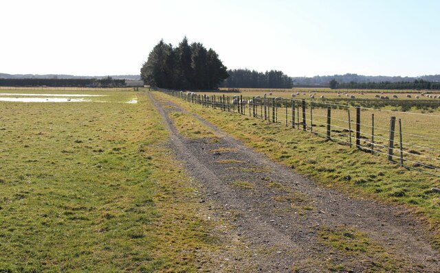
Woody Braes is a charming woodland area located in Ross-shire, Scotland. Situated amidst the stunning Scottish Highlands, this forested region offers a tranquil and picturesque environment for nature enthusiasts and outdoor adventurers alike.

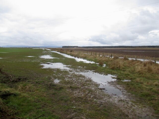
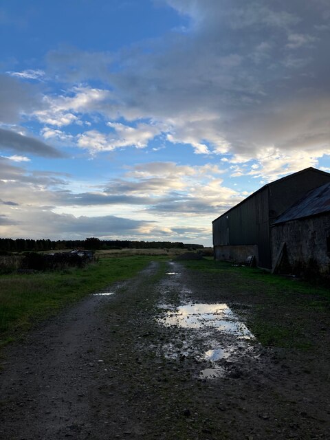
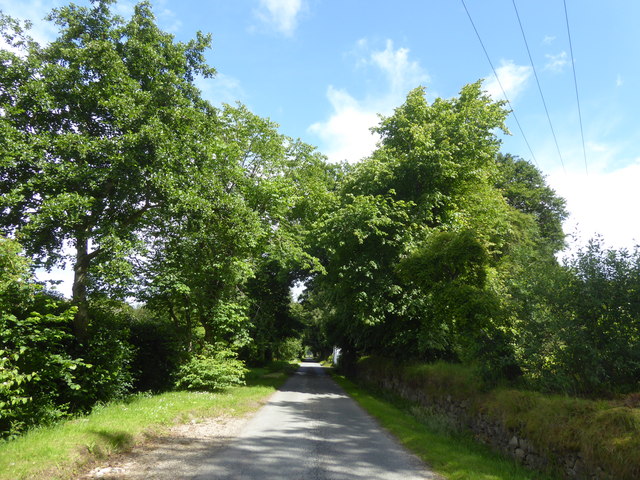
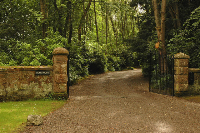
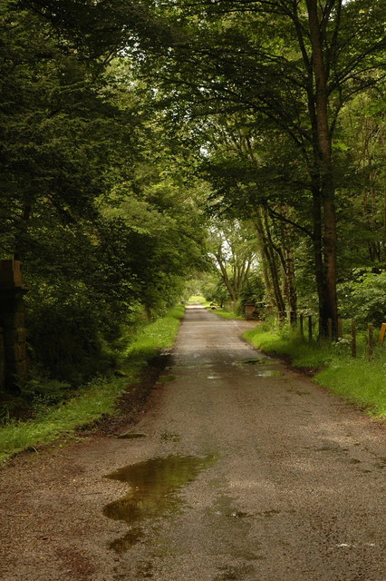
Covering a vast expanse of land, Woody Braes is known for its dense forests, lush greenery, and diverse wildlife. The area is primarily composed of native trees such as oak, pine, and birch, creating a vibrant tapestry of colors throughout the year. The forest floor is adorned with a rich carpet of ferns, mosses, and wildflowers, adding to the area's natural beauty.

The woodlands of Woody Braes are home to a variety of wildlife species, making it a haven for birdwatchers and animal lovers. Visitors may spot red squirrels, roe deer, and even the elusive Scottish wildcat. The forest also serves as a nesting ground for several bird species, including woodpeckers, owls, and various songbirds.

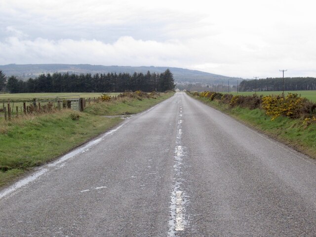
Numerous walking trails and paths wind their way through the forest, inviting visitors to explore and immerse themselves in nature. These trails cater to all levels of fitness and provide opportunities for peaceful walks, invigorating hikes, or leisurely picnics amidst the serene surroundings.

Woody Braes is not only a natural wonderland but also holds historical significance. The area is dotted with ancient cairns and ruins, offering a glimpse into the region's past. Exploring these historical sites allows visitors to appreciate the rich heritage and cultural significance of the area.

Overall, Woody Braes in Ross-shire is a captivating destination for those seeking solace in nature, providing an idyllic setting for outdoor activities, wildlife encounters, and a chance to connect with the history and beauty of the Scottish Highlands.

If you have any feedback on the listing, please let us know in the comments section below.
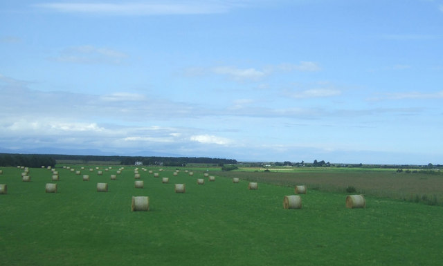
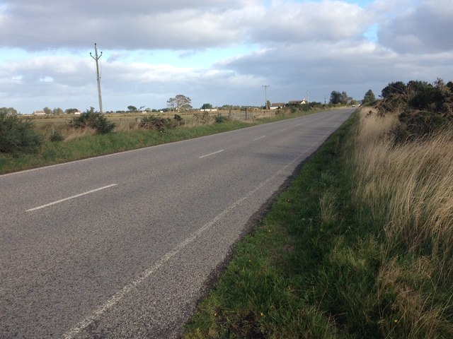
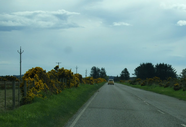
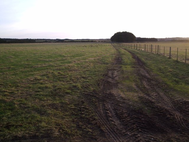
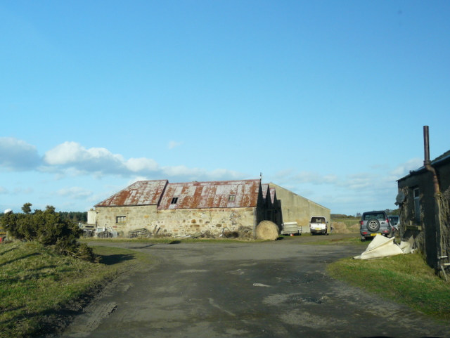
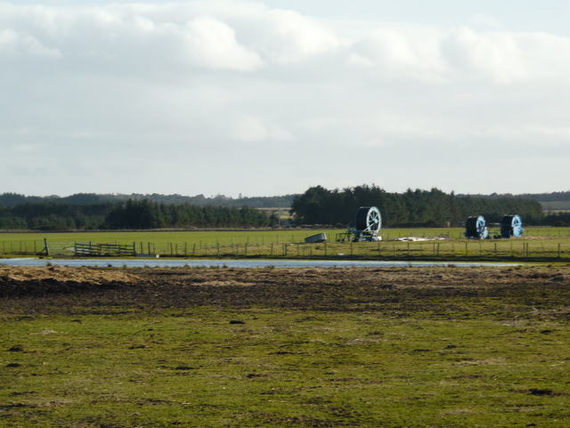
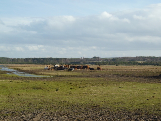
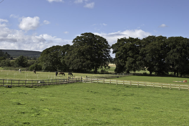
Woody Braes Images

Images are sourced within 2km of 57.808013/-4.0458949 or Grid Reference NH7881. Thanks to Geograph Open Source API. All images are credited.

Field with bales south east of Tain
Road from Tain to Inver
National Cycle Route 1 Heading east.
National Cycle Route 1
Heading east.
Farm Land near Calrossie Taken from the road.
Farm Land near Calrossie
Taken from the road.
Pithogarty farm
Pithogarty farm
Crop irrigation equipment near Pithogarty Not needed at this time of year!
Crop irrigation equipment near Pithogarty
Not needed at this time of year!
Cattle feeding at Pithogarty
Trees and Horses near Glen Aldie Farm
Field track at South Balkeith
Mud, Journey's End Beside the road on the low lying land east of Tain.
Mud, Journey's End
Beside the road on the low lying land east of Tain.
Portmahomack  to Tain road
Portmahomack to Tain road
Flatland - road to Tarrel
At Pithogarty
At Pithogarty
Minor road by Rosemount House
Rosemount Gate and shingle drive to a house at Rosemount.
Rosemount
Gate and shingle drive to a house at Rosemount.
Road past Rosemount House Looking in the direction of Glen Aldie.
Road past Rosemount House
Looking in the direction of Glen Aldie.
Carnegie Lodge I can only assume that this hotel has little or no connection with Andrew Carnegie - but I may be wrong...
Carnegie Lodge
I can only assume that this hotel has little or no connection with Andrew Carnegie - but I may be wrong...
Aldie Watermill
Aldie Watermill
Show me another place!

Woody Braes is located at Grid Ref: NH7881 (Lat: 57.808013, Lng: -4.0458949)

Unitary Authority: Highland

Police Authority: Highlands and Islands

What 3 Words

///loads.mystified.fellow. Near Tain, Highland

Nearby Locations

Knockbreck Woody Braes

Related Wikis

Tain Royal Academy

Tain Royal Academy is a secondary school in Highland, Scotland. The school first opened in 1813, with a new building opened in 1969 and an educational...

Tain & District Museum

The Tain & District Museum is located in Tain, Ross-shire, Scotland. It is volunteer-run and is open April to October part of the Tain Through Time visitor...

Tain Tolbooth

Tain Tolbooth is a municipal building in the High Street, Tain, Highland, Scotland. The structure, which is used as a courthouse, is a Category A listed...

Tain

Tain (Scottish Gaelic: Baile Dhubhthaich [palə ˈɣuhɪç]) is a royal burgh and parish in the County of Ross, in the Highlands of Scotland. == Etymology... ==

Nearby Amenities

Located within 500m of 57.808013,-4.0458949
Bus Stop
Tain
Naptan AtcoCode: 670090047A
Naptan Bearing: NW
Naptan CommonName: Tain
Naptan Indicator: Bannermans
Naptan Landmark: Bannermans
Naptan NaptanCode: 45323526
Naptan Street: Knockbreck Road
Naptan Verified: no
Source: naptan_import
Lat/Long: 57.8086345/-4.0511686
Bus Stop
Shell Garage
Naptan AtcoCode: 670090047B
Naptan Bearing: SE
Naptan CommonName: Shell Garage
Naptan Indicator: o/s
Naptan Landmark: Shell Garage
Naptan NaptanCode: 45323626
Naptan Street: Knockbreck Road
Naptan Verified: no
Source: naptan_import
Lat/Long: 57.8092479/-4.0515737
Crossing
Crossing: uncontrolled
Crossing Ref: zebra
Lat/Long: 57.8035886/-4.0459723
Crossing
Crossing: uncontrolled
Crossing Ref: zebra
Lat/Long: 57.8036601/-4.0471524
Fuel
Asda
Brand: Asda
Brand Wikidata: Q297410
Brand Wikipedia: en:Asda
Contact Facebook: https://www.facebook.com/asda/
Contact Twitter: asda
Contact Website: https://storelocator.asda.com/scotland/tain/knockbreck-road
Operator: Asda Stores Ltd
Self Service: yes
Source: survey
Lat/Long: 57.8044829/-4.0476246
Crossing
Crossing: uncontrolled
Crossing Ref: zebra
Lat/Long: 57.804287/-4.047227
Crossing
Crossing: uncontrolled
Crossing Island: no
Crossing Markings: yes
Lat/Long: 57.8037674/-4.0473172
Crossing
Crossing: uncontrolled
Crossing Ref: zebra
Lat/Long: 57.8040484/-4.0472481
Crossing
Crossing: traffic_signals
Source: survey
Lat/Long: 57.8048944/-4.04651
Recycling
Source: survey
Lat/Long: 57.8041364/-4.0465266
Bus Stop
Bench: yes
Bin: no
Shelter: yes
Lat/Long: 57.8039839/-4.0457395
Bus Stop
Bench: yes
Bin: no
Shelter: yes
Lat/Long: 57.805333/-4.0467104
Generator Method: photovoltaic
Generator Output Electricity: yes
Generator Source: solar
Generator Type: solar_photovoltaic_panel
Location: roof
Power: generator
Lat/Long: 57.8066491/-4.0496099
Generator Method: photovoltaic
Generator Output Electricity: yes
Generator Source: solar
Generator Type: solar_photovoltaic_panel
Location: roof
Power: generator
Lat/Long: 57.806299/-4.0512729
Generator Method: photovoltaic
Generator Output Electricity: yes
Generator Source: solar
Generator Type: solar_photovoltaic_panel
Location: roof
Power: generator
Lat/Long: 57.8061947/-4.0502241
Generator Method: photovoltaic
Generator Output Electricity: yes
Generator Source: solar
Generator Type: solar_photovoltaic_panel
Location: roof
Power: generator
Lat/Long: 57.8061947/-4.0503985
Generator Method: photovoltaic
Generator Output Electricity: yes
Generator Source: solar
Generator Type: solar_photovoltaic_panel
Location: roof
Power: generator
Lat/Long: 57.8063947/-4.0520762
Generator Method: photovoltaic
Generator Output Electricity: yes
Generator Source: solar
Generator Type: solar_photovoltaic_panel
Location: roof
Power: generator
Lat/Long: 57.8062604/-4.0525483
Generator Method: photovoltaic
Generator Output Electricity: yes
Generator Source: solar
Generator Type: solar_photovoltaic_panel
Location: roof
Power: generator
Lat/Long: 57.8062647/-4.0526381
Generator Method: photovoltaic
Generator Output Electricity: yes
Generator Source: solar
Generator Type: solar_photovoltaic_panel
Location: roof
Power: generator
Lat/Long: 57.8062661/-4.052732
Generator Method: photovoltaic
Generator Output Electricity: yes
Generator Source: solar
Generator Type: solar_photovoltaic_panel
Location: roof
Power: generator
Lat/Long: 57.8062704/-4.0528554
Generator Method: photovoltaic
Generator Output Electricity: yes
Generator Source: solar
Generator Type: solar_photovoltaic_panel
Location: roof
Power: generator
Lat/Long: 57.8063133/-4.0530646
Generator Method: photovoltaic
Generator Output Electricity: yes
Generator Source: solar
Generator Type: solar_photovoltaic_panel
Location: roof
Power: generator
Lat/Long: 57.8062761/-4.053188
Generator Method: photovoltaic
Generator Output Electricity: yes
Generator Source: solar
Generator Type: solar_photovoltaic_panel
Location: roof
Power: generator
Lat/Long: 57.8062776/-4.0533006
Generator Method: photovoltaic
Generator Output Electricity: yes
Generator Source: solar
Generator Type: solar_photovoltaic_panel
Location: roof
Power: generator
Lat/Long: 57.8076558/-4.0492733
Power: pole
Lat/Long: 57.8048926/-4.0401762
Power: pole
Lat/Long: 57.8054029/-4.0407809
Power: pole
Lat/Long: 57.8059111/-4.0413612
Power: pole
Lat/Long: 57.8061338/-4.0408824
Power: pole
Lat/Long: 57.806709/-4.039608
Power: pole
Lat/Long: 57.807296/-4.0383174
Power: pole
Lat/Long: 57.8122033/-4.0451193
Power: pole
Lat/Long: 57.8121206/-4.0451802
Power: pole
Lat/Long: 57.8118698/-4.0461907
Power: pole
Lat/Long: 57.8116071/-4.0472754
Power: pole
Lat/Long: 57.8113596/-4.0482555
Power: pole
Lat/Long: 57.8111077/-4.0492964
Power: pole
Lat/Long: 57.8108602/-4.0503354
Power: pole
Lat/Long: 57.8111683/-4.0509198
Post Box
Collection Times: Mo-Fr 09:00; Sa 07:00
Operator: Royal Mail
Post Box Type: lamp
Ref: IV19 5D
Royal Cypher: scottish_crown
Lat/Long: 57.8079702/-4.0501872
Passing Place
Lat/Long: 57.8107009/-4.0496138
Passing Place
Lat/Long: 57.8106616/-4.0469327
Crossing
Crossing: uncontrolled
Crossing Markings: yes
Lat/Long: 57.8041716/-4.0472158
Entrance: yes
Lat/Long: 57.8036082/-4.0474077
The data included in this document is from www.openstreetmap.org. The data is made available under ODbL.

Have you been to Woody Braes?

Leave your review of Woody Braes below (or comments, questions and feedback).