Chapelhill Wood

Wood, Forest in Lanarkshire

Scotland

Chapelhill Wood

Private road to Cumberhead
Private road to Cumberhead Credit: Elliott Simpson

Chapelhill Wood is a picturesque forest located in Lanarkshire, Scotland. Covering an area of approximately 200 acres, this enchanting wood is known for its diverse flora and fauna, making it a popular destination for nature enthusiasts and hikers alike.

The wood is situated on the eastern edge of Lanarkshire, near the village of Chapelhall. It is easily accessible by car and public transport, with ample parking facilities available for visitors. The wood is managed by the local authorities, ensuring its preservation and maintenance for the enjoyment of future generations.

Walking through Chapelhill Wood, visitors are greeted by a dense canopy of mature trees, including oak, beech, and birch, providing a sense of tranquility and shade. The forest floor is adorned with a rich variety of wildflowers, creating a vibrant and colorful landscape during the spring and summer months.

The wood is also home to a diverse range of wildlife. Deer, foxes, and squirrels can often be spotted among the trees, while a wide array of bird species can be heard singing from the branches above. The wood is a haven for birdwatchers, offering opportunities to spot species such as woodpeckers, owls, and various songbirds.

For those seeking outdoor activities, Chapelhill Wood offers several well-marked trails and paths, ideal for walking, jogging, or cycling. Picnic areas and benches are scattered throughout the wood, providing visitors with the perfect spot to rest and enjoy the peaceful surroundings.

Overall, Chapelhill Wood is a true gem in Lanarkshire, offering a serene and natural setting for individuals to escape the hustle and bustle of everyday life and immerse themselves in the beauty of the Scottish countryside.

If you have any feedback on the listing, please let us know in the comments section below.

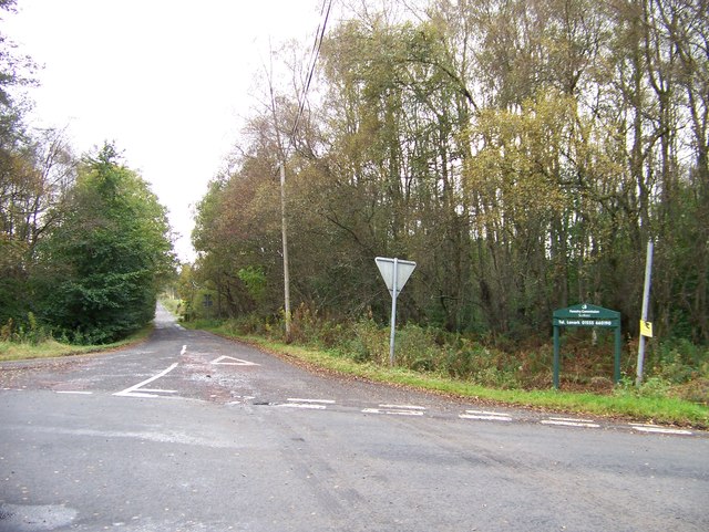
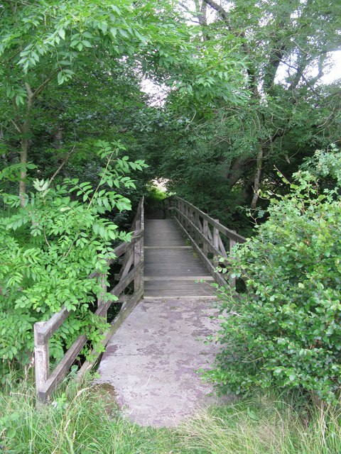
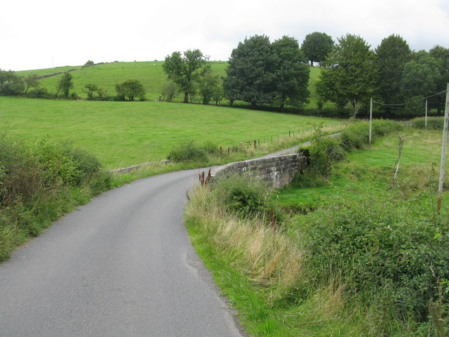
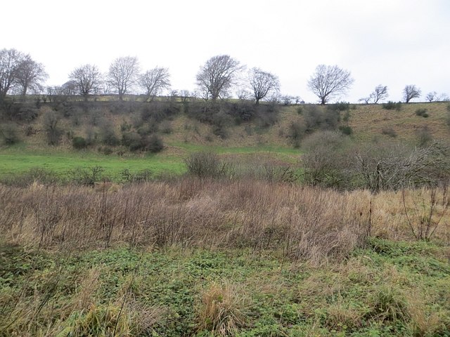
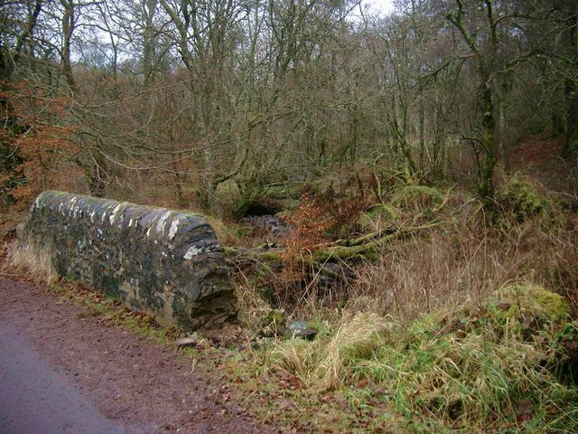
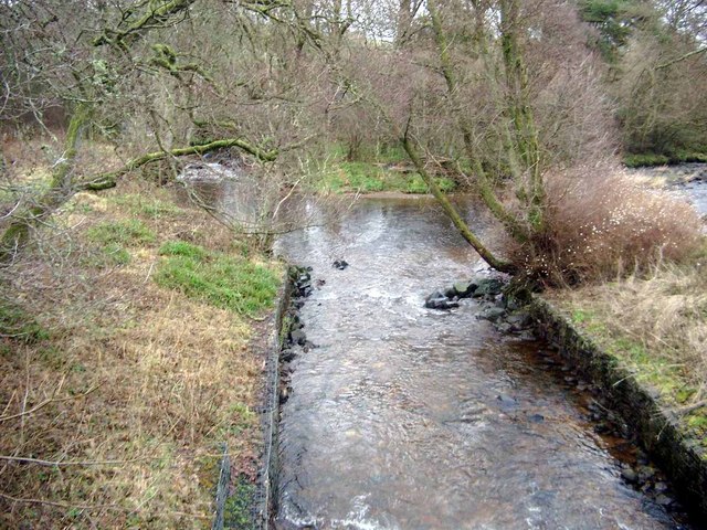
Chapelhill Wood Images

Images are sourced within 2km of 55.605017/-3.9299109 or Grid Reference NS7836. Thanks to Geograph Open Source API. All images are credited.

Private road to Cumberhead
Private road to Craighead
Rough pasture near Dalquhandy
Road junction near Porterhall
The road to Cumberhead Taken from the road junction where roads diverge for Cumberhead and South Cumberhead the image shows the way continuing to the first of those farms. The road is coloured yellow on OS maps at the 1:50 000 scale which implies that it's a public road but a notice <a title="https://www.geograph.org.uk/photo/3179772" href="https://www.geograph.org.uk/photo/3179772">Link</a> suggests otherwise!
The road to Cumberhead
Taken from the road junction where roads diverge for Cumberhead and South Cumberhead the image shows the way continuing to the first of those farms. The road is coloured yellow on OS maps at the 1:50 000 scale which implies that it's a public road but a notice Link suggests otherwise!
Woodland Track One of many tracks used for the former opencast coal mining in this area.
Woodland Track
One of many tracks used for the former opencast coal mining in this area.
Footbridge across the River Nethan Almost hidden from the main road by the surrounding trees.
Footbridge across the River Nethan
Almost hidden from the main road by the surrounding trees.
Road Bridge near Whiteside The bridge spans an unnamed burn which is a tributary of the Logan Water which in turn flows into the River Nethan.
Road Bridge near Whiteside
The bridge spans an unnamed burn which is a tributary of the Logan Water which in turn flows into the River Nethan.
Reddoch Brae Overlooking a road which has been carrying a lot of wind turbine construction traffic.
Reddoch Brae
Overlooking a road which has been carrying a lot of wind turbine construction traffic.
Wind turbine construction road A new road leading to the site of an assortment of medium sized wind turbines, as opposed to the really big ones which are reserved for areas that were once of great scenic beauty or wildness.
Wind turbine construction road
A new road leading to the site of an assortment of medium sized wind turbines, as opposed to the really big ones which are reserved for areas that were once of great scenic beauty or wildness.
Field drainage Land drainage is a big problem over much of Lanarkshire. This field has just had new drains installed.
Field drainage
Land drainage is a big problem over much of Lanarkshire. This field has just had new drains installed.
Logan Water
Logan Water
Scrub beside the Logan Water
Bridge over a tributary of the River Nethan
Logan Water (from left) meets the River Nethan
The Martyr's Grave Sadly, yet another reminder of "The Killing Times".  Farmer David Steel was murdered here in 1686, in front of his wife and child.  He had refused to hear the curate of Lesmahagow, preferring to attend illegal open-air preaching.  He was chased and gave himself up on the promise of a fair trial.  Instead, he was taken back to his farm, Skellyhill, and shot.
The Martyr's Grave
Sadly, yet another reminder of "The Killing Times". Farmer David Steel was murdered here in 1686, in front of his wife and child. He had refused to hear the curate of Lesmahagow, preferring to attend illegal open-air preaching. He was chased and gave himself up on the promise of a fair trial. Instead, he was taken back to his farm, Skellyhill, and shot.
Covenanter David Steel's grave See <a href="https://www.geograph.org.uk/photo/304469">NS7837 : The Martyr's Grave</a> for further information.  The present farmer at Skellyhill looks after the monument
Covenanter David Steel's grave
See NS7837 : The Martyr's Grave for further information. The present farmer at Skellyhill looks after the monument
Bridge over the Logan Water The bridge leads up to the farm at Cleughhead.
Bridge over the Logan Water
The bridge leads up to the farm at Cleughhead.
Show me another place!

Chapelhill Wood is located at Grid Ref: NS7836 (Lat: 55.605017, Lng: -3.9299109)

Unitary Authority: South Lanarkshire

Police Authority: Lanarkshire

What 3 Words

///wide.scornful.tangent. Near Coalburn, South Lanarkshire

Nearby Locations

Chapelhill Wood

Related Wikis

Auchlochan

Auchlochan is a village in South Lanarkshire, Scotland. It is on the River Nethan and is located near the villages of Birkwood, Braehead and Coalburn....

Coalburn

Coalburn is a village in South Lanarkshire, Scotland, UK. It is located near the villages of Auchlochan, Bankend and Braehead. == History == The opencast...

Coalburn railway station

Coalburn railway station served Coalburn, a village in South Lanarkshire, Scotland. It opened in 1891 and was closed in 1965. == References ==

Bankend railway station

Bankend railway station served Bankend, a village in South Lanarkshire, Scotland. It closed in 1926 and the area became an opencast coal mine. == References ==

Nearby Amenities

Located within 500m of 55.605017,-3.9299109
Generator Method: wind_turbine
Generator Source: wind
Generator Type: horizontal_axis
Power: generator
Lat/Long: 55.6059545/-3.927948
Generator Method: wind_turbine
Generator Source: wind
Generator Type: horizontal_axis
Power: generator
Lat/Long: 55.6069318/-3.9303479
Power: pole
Lat/Long: 55.6024097/-3.9356114
Power: pole
Lat/Long: 55.6032067/-3.9355057
Power: pole
Lat/Long: 55.6039787/-3.9353957
Power: pole
Lat/Long: 55.604747/-3.9353026
Power: pole
Lat/Long: 55.6055524/-3.9352053
Power: pole
Lat/Long: 55.6061714/-3.9346194
Power: pole
Lat/Long: 55.6068071/-3.9340292
Power: pole
Lat/Long: 55.6074308/-3.9334517
Power: pole
Lat/Long: 55.6078884/-3.9325252
Power: pole
Lat/Long: 55.6084882/-3.9313046
Power: pole
Lat/Long: 55.6089829/-3.9302872
Power: pole
Lat/Long: 55.6093306/-3.9295997
Power: pole
Lat/Long: 55.6060292/-3.9366183
The data included in this document is from www.openstreetmap.org. The data is made available under ODbL.

Have you been to Chapelhill Wood?

Leave your review of Chapelhill Wood below (or comments, questions and feedback).