Knockbreck

Settlement in Ross-shire

Scotland

Knockbreck

Field with bales south east of Tain
Field with bales south east of Tain Credit: JThomas

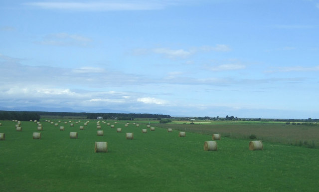
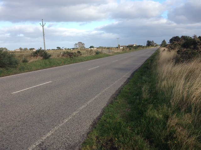
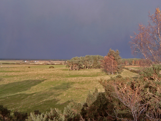
Knockbreck is a small township located in the county of Ross-shire, Scotland. Situated on the eastern coast of the country, it lies approximately 4 miles southeast of the town of Tain. This rural community is nestled amidst breathtaking natural beauty, surrounded by rolling hills, lush green fields, and the stunning coastline of the Moray Firth.

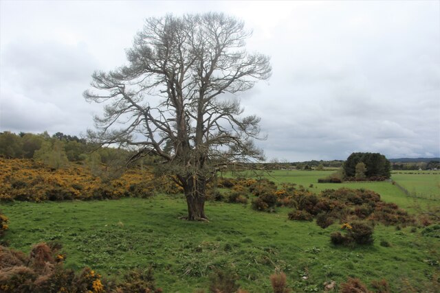
The area is renowned for its tranquility and is a popular destination for nature lovers and outdoor enthusiasts. The nearby Knockbreck Forest offers ample opportunities for hiking, birdwatching, and exploring the rich flora and fauna of the region. The coastal path provides breathtaking views of the North Sea and is a favorite spot for walking and picnicking.

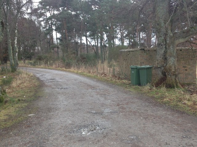
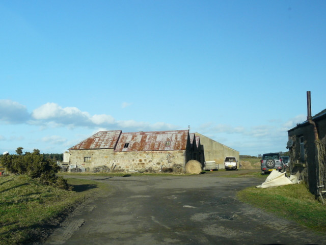
Despite its small size, Knockbreck is home to a close-knit community that takes pride in its local heritage. The township boasts a few historic buildings, including the picturesque Knockbreck House, which dates back to the 18th century. The local church, Knockbreck Parish Church, is a focal point for community gatherings and events.

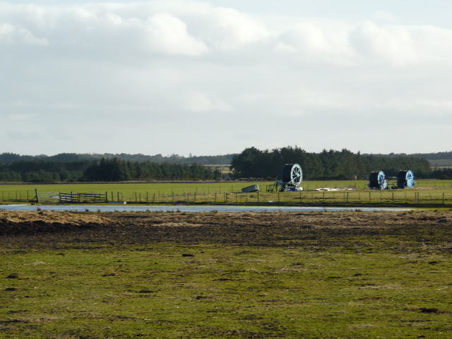
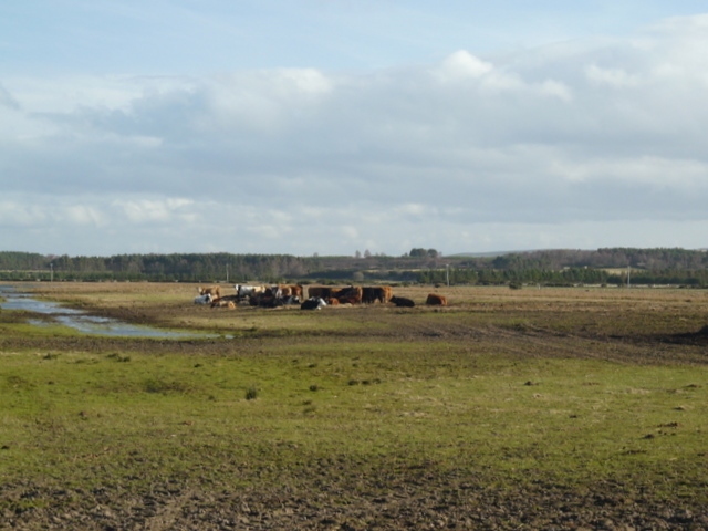
While primarily an agricultural area, Knockbreck also benefits from its proximity to Tain, which offers a range of amenities, including shops, schools, and healthcare facilities. The town's railway station provides convenient transport links to other parts of Scotland.

Overall, Knockbreck is a charming and idyllic place that offers a peaceful retreat from the bustling city life. Whether it's exploring the natural wonders, immersing oneself in the local history, or simply enjoying the tranquility of the countryside, Knockbreck has something to offer everyone.

If you have any feedback on the listing, please let us know in the comments section below.
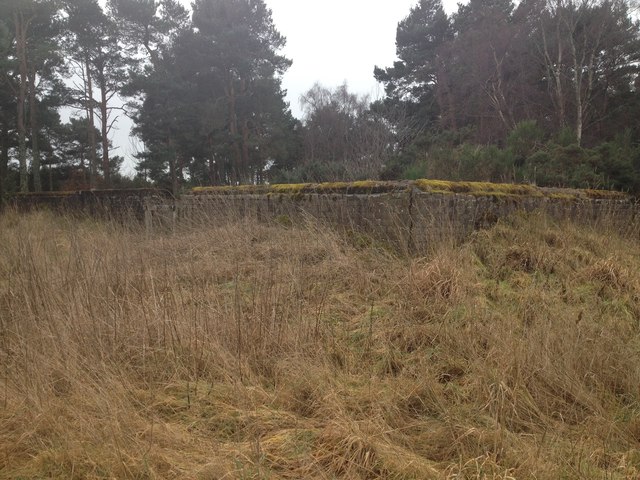
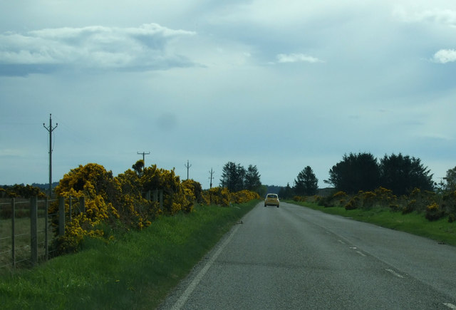
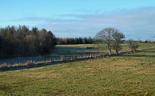
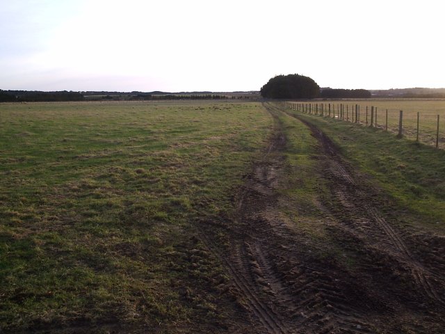
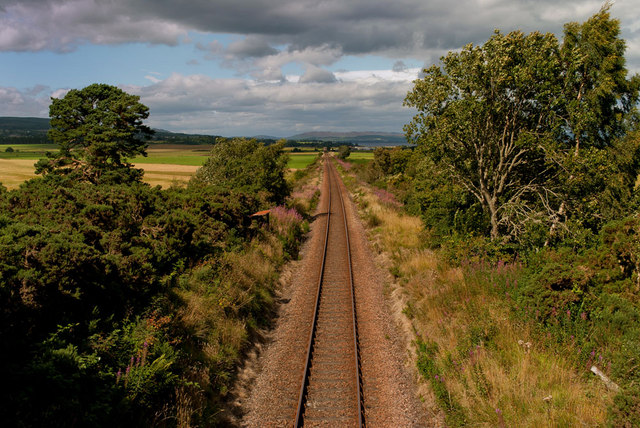
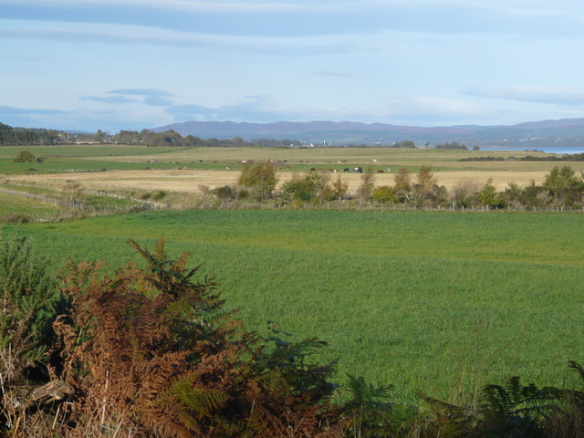
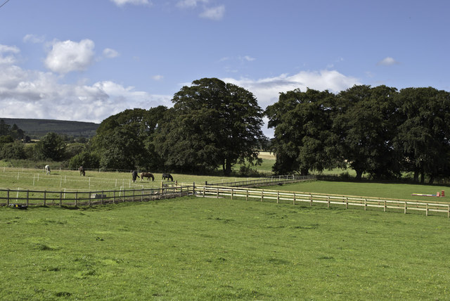
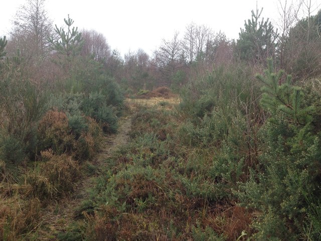
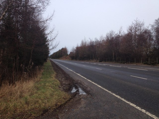
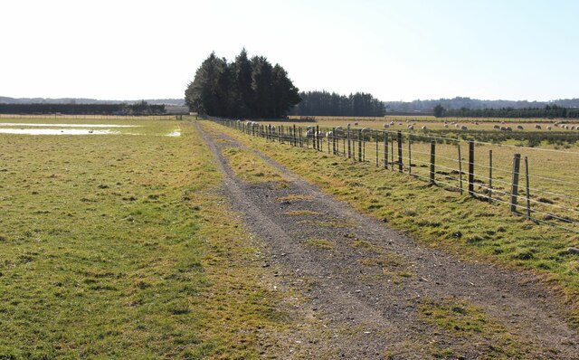
Knockbreck Images

Images are sourced within 2km of 57.803437/-4.0421856 or Grid Reference NH7881. Thanks to Geograph Open Source API. All images are credited.

Field with bales south east of Tain
A twin-trunked tree at Hilton
Road from Tain to Inver
Farm road to Bogbain
Ruined WW2 building near Bogbain Farm
National Cycle Route 1 Heading east.
National Cycle Route 1
Heading east.
Forest Edge Near Fearn This forest isn't shown on the Explorer Map. Viewed from a train between Fearn and Tain.
Forest Edge Near Fearn
This forest isn't shown on the Explorer Map. Viewed from a train between Fearn and Tain.
Farm Land near Calrossie Taken from the road.
Farm Land near Calrossie
Taken from the road.
Farmland north-west of Hunting Hill
Pithogarty farm
Pithogarty farm
Crop irrigation equipment near Pithogarty Not needed at this time of year!
Crop irrigation equipment near Pithogarty
Not needed at this time of year!
Cattle feeding at Pithogarty
Line at Hunting Hill
Farmland near Hunting Hill
Trees and Horses near Glen Aldie Farm
Overgrown forestry access near Tain
A9 near Tain
A9 near Tain
Field track at South Balkeith
Show me another place!

Knockbreck is located at Grid Ref: NH7881 (Lat: 57.803437, Lng: -4.0421856)

Unitary Authority: Highland

Police Authority: Highlands and Islands

What 3 Words

///baroness.configure.harmless. Near Tain, Highland

Nearby Locations

Knockbreck Woody Braes

Related Wikis

Tain Royal Academy

Tain Royal Academy is a secondary school in Highland, Scotland. The school first opened in 1813, with a new building opened in 1969 and an educational...

Tain Tolbooth

Tain Tolbooth is a municipal building in the High Street, Tain, Highland, Scotland. The structure, which is used as a courthouse, is a Category A listed...

Tain & District Museum

The Tain & District Museum is located in Tain, Ross-shire, Scotland. It is volunteer-run and is open April to October part of the Tain Through Time visitor...

Tain

Tain (Scottish Gaelic: Baile Dhubhthaich [palə ˈɣuhɪç]) is a royal burgh and parish in the County of Ross, in the Highlands of Scotland. == Etymology... ==

Nearby Amenities

Located within 500m of 57.803437,-4.0421856
Crossing
Crossing: uncontrolled
Crossing Ref: zebra
Lat/Long: 57.8035886/-4.0459723
Crossing
Crossing: uncontrolled
Crossing Ref: zebra
Lat/Long: 57.8036601/-4.0471524
Fuel
Asda
Brand: Asda
Brand Wikidata: Q297410
Brand Wikipedia: en:Asda
Contact Facebook: https://www.facebook.com/asda/
Contact Twitter: asda
Contact Website: https://storelocator.asda.com/scotland/tain/knockbreck-road
Operator: Asda Stores Ltd
Self Service: yes
Source: survey
Lat/Long: 57.8044829/-4.0476246
Barrier: cattle_grid
Source: survey
Lat/Long: 57.8023558/-4.0437215
Crossing
Crossing: uncontrolled
Crossing Ref: zebra
Lat/Long: 57.804287/-4.047227
Crossing
Crossing: uncontrolled
Crossing Island: no
Crossing Markings: yes
Lat/Long: 57.8037674/-4.0473172
Crossing
Crossing: uncontrolled
Crossing Ref: zebra
Lat/Long: 57.8040484/-4.0472481
Crossing
Crossing: traffic_signals
Source: survey
Lat/Long: 57.8048944/-4.04651
Recycling
Source: survey
Lat/Long: 57.8041364/-4.0465266
Bus Stop
Bench: yes
Bin: no
Shelter: yes
Lat/Long: 57.8039839/-4.0457395
Bus Stop
Bench: yes
Bin: no
Shelter: yes
Lat/Long: 57.805333/-4.0467104
Cafe
Brand: Asda
Brand Wikidata: Q297410
Brand Wikipedia: en:Asda
Contact Phone: +44 1862 857124
Contact Website: https://storelocator.asda.com/scotland/tain/knockbreck-road/cafe
Drinking Water Refill: yes
Drinking Water Refill Network: Refill
Fixme: Location not accurate
Internet Access: wlan
Internet Access Fee: no
Opening Hours Covid19: Mo-Su off
Operator: Asda Stores Ltd
Lat/Long: 57.8035008/-4.0475929
Power: pole
Lat/Long: 57.8009526/-4.0355557
Power: pole
Lat/Long: 57.8015517/-4.0362598
Power: pole
Lat/Long: 57.8020955/-4.0368747
Power: pole
Lat/Long: 57.8026989/-4.0375646
Power: pole
Lat/Long: 57.803273/-4.0382403
Power: pole
Lat/Long: 57.8038071/-4.0388714
Power: pole
Lat/Long: 57.8043985/-4.0395918
Power: pole
Lat/Long: 57.8048926/-4.0401762
Power: pole
Lat/Long: 57.8054029/-4.0407809
Power: pole
Lat/Long: 57.8059111/-4.0413612
Power: pole
Lat/Long: 57.8061338/-4.0408824
Power: pole
Lat/Long: 57.806709/-4.039608
Power: pole
Lat/Long: 57.807296/-4.0383174
Power: pole
Lat/Long: 57.8032768/-4.0491148
Crossing
Crossing: uncontrolled
Crossing Markings: yes
Lat/Long: 57.8041716/-4.0472158
Entrance: yes
Lat/Long: 57.8036082/-4.0474077
The data included in this document is from www.openstreetmap.org. The data is made available under ODbL.

Have you been to Knockbreck?

Leave your review of Knockbreck below (or comments, questions and feedback).