Drummond Hill Forest

Wood, Forest in Perthshire

Scotland

Drummond Hill Forest

Approaching the A827
Approaching the A827 Credit: N Chadwick

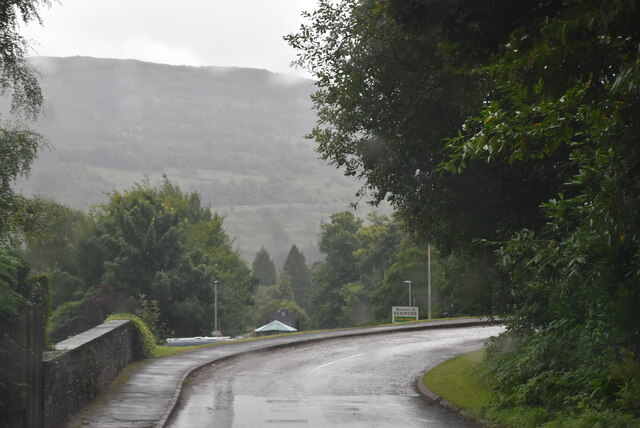
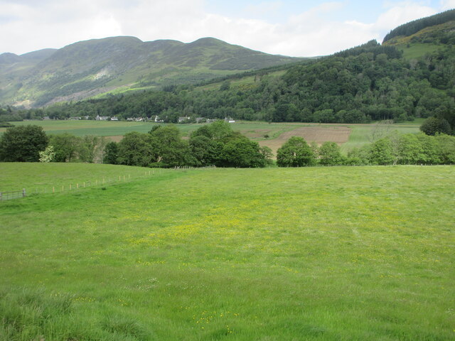
Drummond Hill Forest is a picturesque woodland located in Perthshire, Scotland. Situated just a few miles west of the town of Aberfeldy, this enchanting forest covers an area of approximately 800 hectares (2,000 acres). It is renowned for its breathtaking beauty, rich biodiversity, and historical significance.

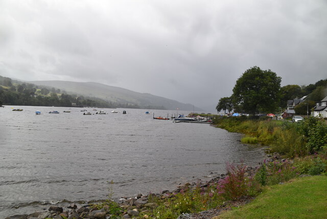
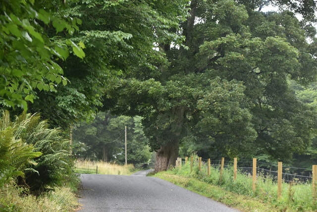
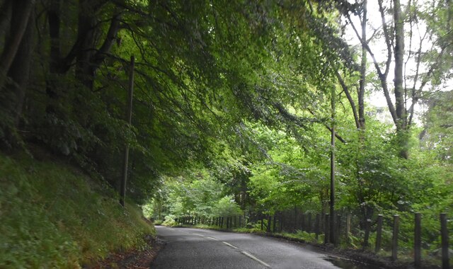
The forest is primarily composed of native broadleaf trees, including oak, birch, and rowan. These majestic trees provide a stunning backdrop throughout the year, with vibrant displays of color during the autumn months. In addition to the magnificent woodland, Drummond Hill Forest is also home to a diverse range of plant and animal species. Visitors will have the opportunity to spot various bird species, including the elusive capercaillie, as well as red squirrels and roe deer.

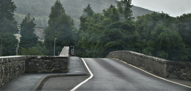
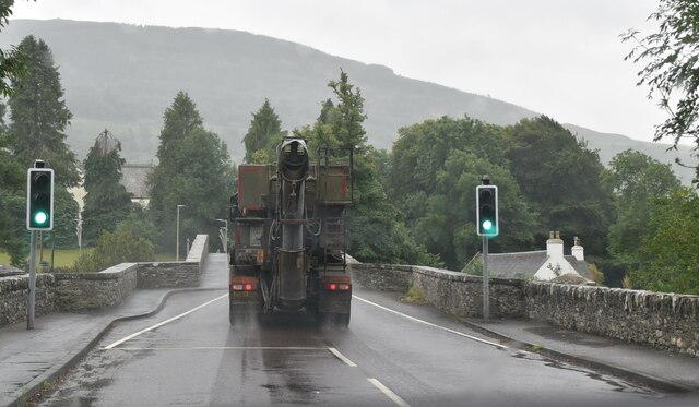
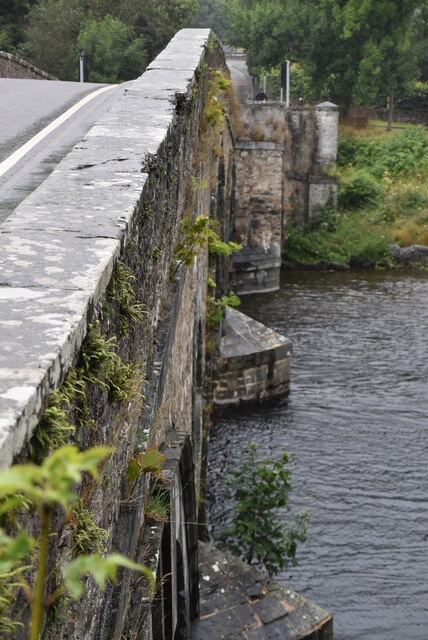
Aside from its natural beauty, Drummond Hill Forest holds an important place in Scottish history. The famous General Wade's Military Road, constructed in the 18th century, runs through the forest. This road was instrumental in the transportation of troops and supplies during the Jacobite uprisings. Today, remnants of this historical road can still be seen, adding an intriguing element to the forest's allure.

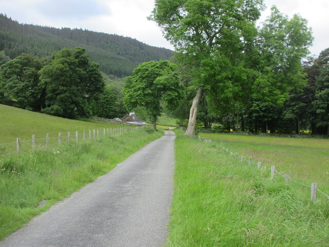
Drummond Hill Forest offers an extensive network of well-maintained trails, making it an ideal destination for walkers, hikers, and nature enthusiasts. These trails offer varying degrees of difficulty, catering to all levels of fitness and ability. Whether visitors are looking for a leisurely stroll or a more challenging hike, Drummond Hill Forest provides a captivating and immersive experience in the heart of Perthshire's natural beauty.

If you have any feedback on the listing, please let us know in the comments section below.

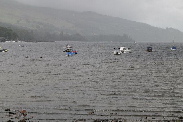
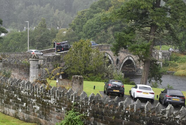
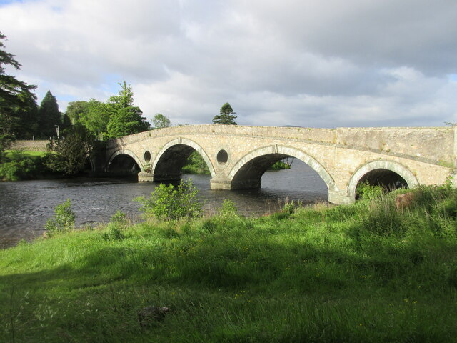
Drummond Hill Forest Images

Images are sourced within 2km of 56.579989/-4.0323315 or Grid Reference NN7544. Thanks to Geograph Open Source API. All images are credited.

Approaching the A827
Kenmore Bridge Grade A listed. <span class="nowrap"><a title="http://portal.historicenvironment.scot/designation/LB12138" rel="nofollow ugc noopener" href="http://portal.historicenvironment.scot/designation/LB12138">Link</a><img style="margin-left:2px;" alt="External link" title="External link - shift click to open in new window" src="https://s1.geograph.org.uk/img/external.png" width="10" height="10"/></span>
Kenmore Bridge
Grade A listed. LinkExternal link
Loch Tay Loch Tay is a freshwater loch in the central highlands of Scotland, in the Perth and Kinross and Stirling council areas. It is the largest body of fresh water in Perth and Kinross, and the sixth largest loch in Scotland. 
It is a long, narrow loch about 14.5 miles long, and typically around 1 to 1.5 miles.
Loch Tay
Loch Tay is a freshwater loch in the central highlands of Scotland, in the Perth and Kinross and Stirling council areas. It is the largest body of fresh water in Perth and Kinross, and the sixth largest loch in Scotland. It is a long, narrow loch about 14.5 miles long, and typically around 1 to 1.5 miles.
Lane along Loch Tay
Lane along Loch Tay
Entering Acharn
Entering Acharn
Acharn
Acharn
A827, Tay Forest Park The A827 is a cross-country route through the glens of central Scotland, running 35 miles along the entire length of Loch Tay, from Lix Toll to Ballinluig. 
<span class="nowrap"><a title="https://www.sabre-roads.org.uk/wiki/index.php?title=A827" rel="nofollow ugc noopener" href="https://www.sabre-roads.org.uk/wiki/index.php?title=A827">Link</a><img style="margin-left:2px;" alt="External link" title="External link - shift click to open in new window" src="https://s1.geograph.org.uk/img/external.png" width="10" height="10"/></span>
A827, Tay Forest Park
The A827 is a cross-country route through the glens of central Scotland, running 35 miles along the entire length of Loch Tay, from Lix Toll to Ballinluig. LinkExternal link
A827 The A827 is a cross-country route through the glens of central Scotland, running 35 miles along the entire length of Loch Tay, from Lix Toll to Ballinluig. 
<span class="nowrap"><a title="https://www.sabre-roads.org.uk/wiki/index.php?title=A827" rel="nofollow ugc noopener" href="https://www.sabre-roads.org.uk/wiki/index.php?title=A827">Link</a><img style="margin-left:2px;" alt="External link" title="External link - shift click to open in new window" src="https://s1.geograph.org.uk/img/external.png" width="10" height="10"/></span>
A827
The A827 is a cross-country route through the glens of central Scotland, running 35 miles along the entire length of Loch Tay, from Lix Toll to Ballinluig. LinkExternal link
HGV crossing Kenmore Bridge The A827 is a cross-country route through the glens of central Scotland, running 35 miles along the entire length of Loch Tay, from Lix Toll to Ballinluig. 
<span class="nowrap"><a title="https://www.sabre-roads.org.uk/wiki/index.php?title=A827" rel="nofollow ugc noopener" href="https://www.sabre-roads.org.uk/wiki/index.php?title=A827">Link</a><img style="margin-left:2px;" alt="External link" title="External link - shift click to open in new window" src="https://s1.geograph.org.uk/img/external.png" width="10" height="10"/></span>
HGV crossing Kenmore Bridge
The A827 is a cross-country route through the glens of central Scotland, running 35 miles along the entire length of Loch Tay, from Lix Toll to Ballinluig. LinkExternal link
Kenmore Bridge Grade A listed.
Kenmore Bridge
Grade A listed.
Loch Tay Loch Tay is a freshwater loch in the central highlands of Scotland, in the Perth and Kinross and Stirling council areas. It is the largest body of fresh water in Perth and Kinross, and the sixth largest loch in Scotland. 
It is a long, narrow loch about 14.5 miles long, and typically around 1 to 1.5 miles.
Loch Tay
Loch Tay is a freshwater loch in the central highlands of Scotland, in the Perth and Kinross and Stirling council areas. It is the largest body of fresh water in Perth and Kinross, and the sixth largest loch in Scotland. It is a long, narrow loch about 14.5 miles long, and typically around 1 to 1.5 miles.
Kenmore Bridge Grade A listed.
Kenmore Bridge
Grade A listed.
Kenmore Bridge Kenmore Bridge at the head of the River Tay, viewed from the north bank.
Kenmore Bridge
Kenmore Bridge at the head of the River Tay, viewed from the north bank.
Buttercup Meadow Meadowland tinged with yellow on the south side of the River Lyon, with Fortingall in the distance.
Buttercup Meadow
Meadowland tinged with yellow on the south side of the River Lyon, with Fortingall in the distance.
Road near Duneaves Narrow minor road on the south side of the River Lyon heading westwards near Duneaves.
Road near Duneaves
Narrow minor road on the south side of the River Lyon heading westwards near Duneaves.
Show me another place!

Drummond Hill Forest is located at Grid Ref: NN7544 (Lat: 56.579989, Lng: -4.0323315)

Unitary Authority: Perth and Kinross

Police Authority: Tayside

What 3 Words

///shorter.lifeboats.tacky. Near Aberfeldy, Perth & Kinross

Related Wikis

Acharn, Perth and Kinross

Acharn (Scottish Gaelic: Àth a' Chàirn meaning 'Field of the Cairn[s]') is a hamlet in the Kenmore parish of the Scottish council area of Perth and Kinross...
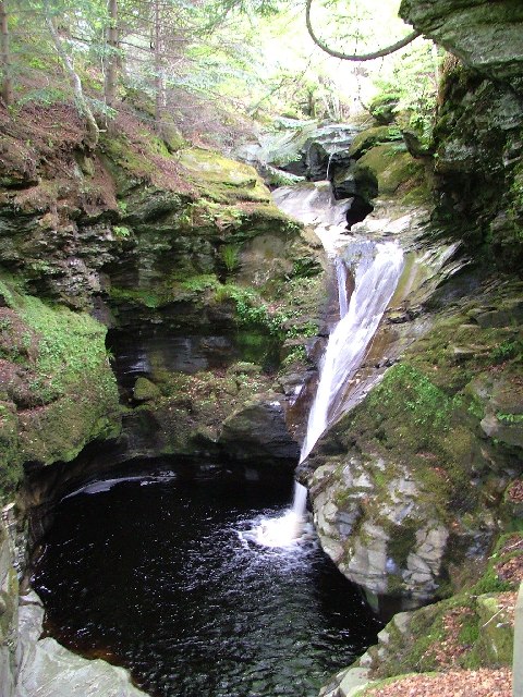
Falls of Acharn

Falls of Acharn is a waterfall of Scotland. == See also == Acharn Waterfalls of Scotland == References ==

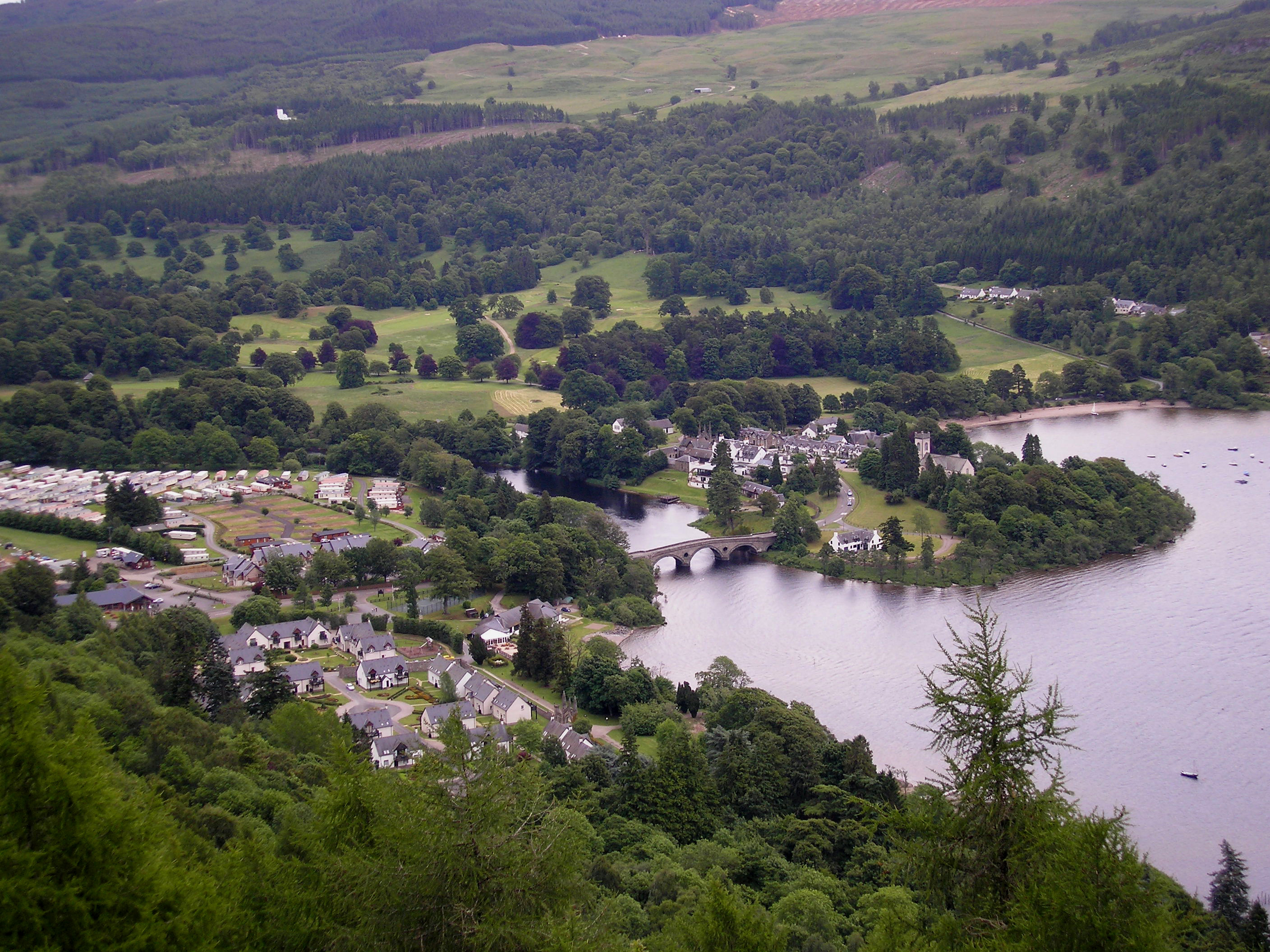
Kenmore, Perth and Kinross

Kenmore (Scottish Gaelic: A' Cheannmhor, IPA:[ˈaˈçaun̴̪auvɔɾ]) is a small village in Perthshire, in the Highlands of Scotland, located where Loch Tay drains...

Càrn na Marbh

Càrn na Marbh (meaning "mound" or "cairn of the dead") is a re-used Bronze Age tumulus, located in Fortingall in Perthshire, Scotland. The mound was used...

Have you been to Drummond Hill Forest?

Leave your review of Drummond Hill Forest below (or comments, questions and feedback).