Crappich Wood

Wood, Forest in Perthshire

Scotland

Crappich Wood

East Lodge, Dunira Former lodge house for the Dunira Estate.

Scanned from an AGFA transparency.
East Lodge, Dunira Credit: Richard Sutcliffe

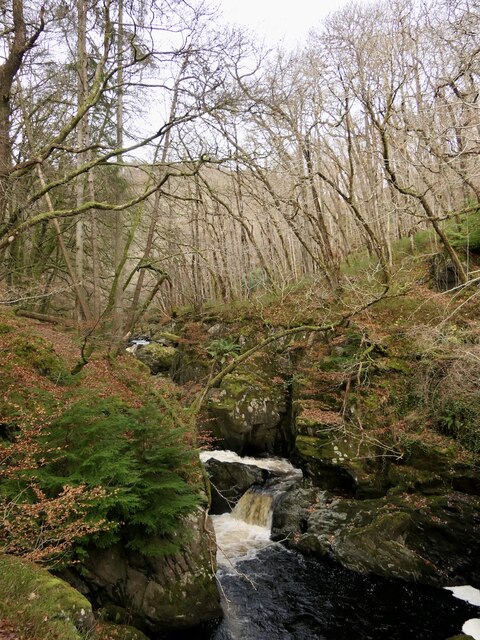
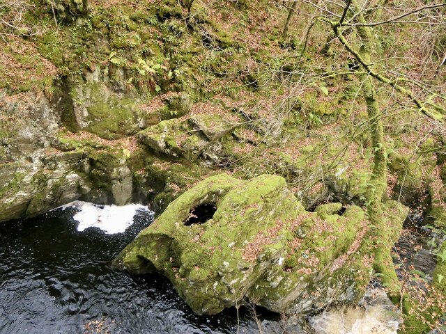
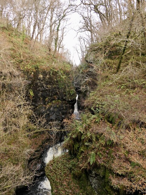
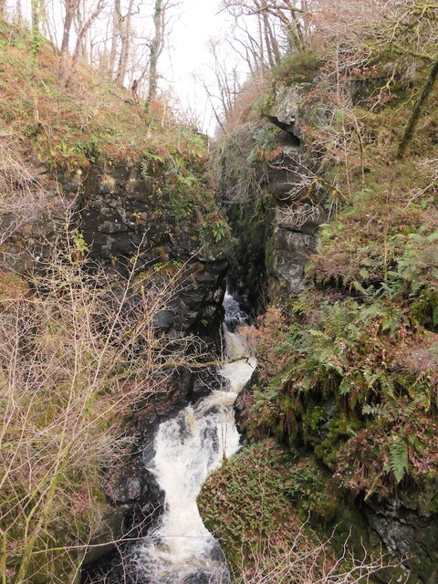
Crappich Wood is a beautiful forest located in Perthshire, Scotland. Covering an area of approximately 36 hectares, the wood is known for its diverse range of flora and fauna, making it a popular destination for nature lovers and hikers.

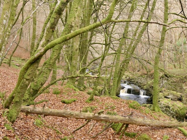
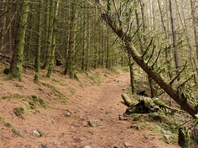
The forest is predominantly composed of native species such as oak, birch, and pine trees, creating a lush and vibrant environment. The woodland floor is covered with a carpet of ferns, mosses, and wildflowers, adding to the natural beauty of the area.

Crappich Wood is home to a variety of wildlife, including red squirrels, deer, and a wide range of bird species. Birdwatchers can often spot woodpeckers, owls, and other woodland birds while exploring the forest trails.

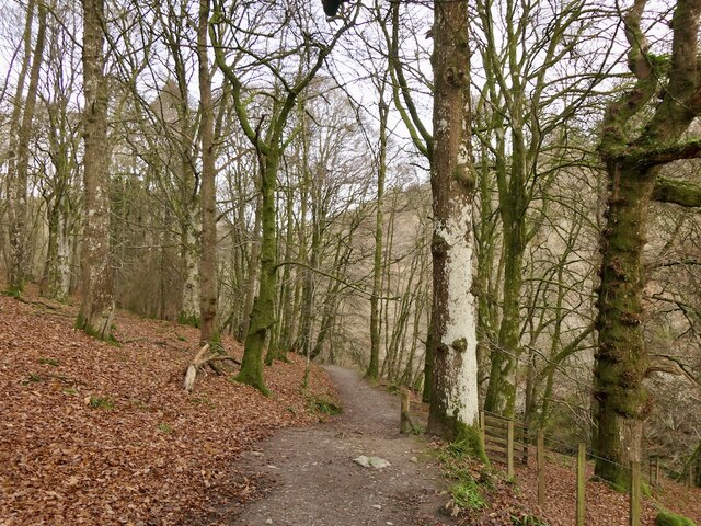
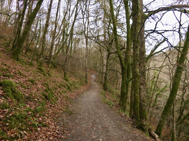
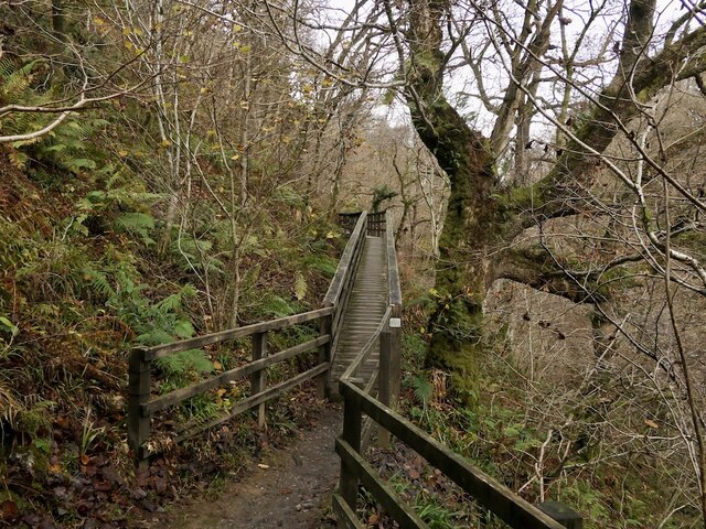
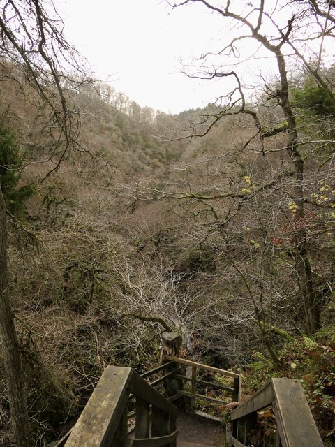
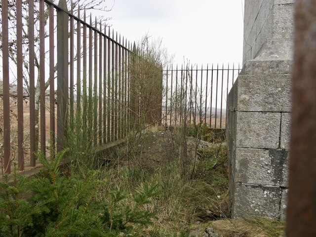
Visitors to Crappich Wood can enjoy a network of well-maintained walking paths that wind through the forest, offering stunning views of the surrounding countryside. The peaceful atmosphere and serene surroundings make it a perfect place to escape the hustle and bustle of everyday life and connect with nature.

Overall, Crappich Wood is a hidden gem in Perthshire, offering a tranquil and picturesque setting for outdoor enthusiasts to explore and enjoy.

If you have any feedback on the listing, please let us know in the comments section below.

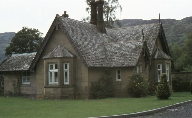
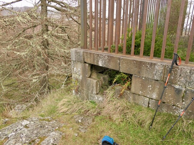
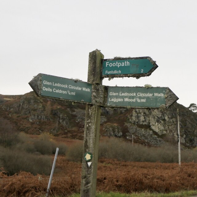
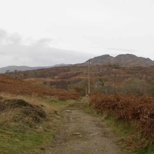
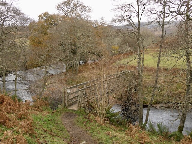
Crappich Wood Images

Images are sourced within 2km of 56.383984/-4.0229141 or Grid Reference NN7523. Thanks to Geograph Open Source API. All images are credited.

East Lodge, Dunira Former lodge house for the Dunira Estate.

Scanned from an AGFA transparency.
East Lodge, Dunira
Former lodge house for the Dunira Estate. Scanned from an AGFA transparency.
Woodland, Comrie Mainly oakwood, connected to Twenty Shilling Wood
Woodland, Comrie
Mainly oakwood, connected to Twenty Shilling Wood
Path at the foot of Glen Lednock Part of the popular Comrie Circular Walk it gives good views of the Deil's Cauldron and Wee Cauldron.
Path at the foot of Glen Lednock
Part of the popular Comrie Circular Walk it gives good views of the Deil's Cauldron and Wee Cauldron.
Path beside the Lednock Near the Wee Cauldron waterfalls.
Path beside the Lednock
Near the Wee Cauldron waterfalls.
Little Cauldron, Glen Lednock Lower falls on the way down from the hanging Glen Lednock.
Little Cauldron, Glen Lednock
Lower falls on the way down from the hanging Glen Lednock.
Rock and pot hole, Wee Cauldron Amongst waterfalls on the River Lednock.
Rock and pot hole, Wee Cauldron
Amongst waterfalls on the River Lednock.
River Lednock Between the Deil's Cauldron and the Wee Cauldron, set in oak woods.
River Lednock
Between the Deil's Cauldron and the Wee Cauldron, set in oak woods.
Path near the Deil's Cauldron A bridge, along the side of the steep gorge downstream of the waterfalls. Part of the Lednock Circular Walk.
Path near the Deil's Cauldron
A bridge, along the side of the steep gorge downstream of the waterfalls. Part of the Lednock Circular Walk.
Gorge above the Deil's Cauldron View from the walkway (built by the Royal Engineers and University of London OTC) before the steps down to the gorge and waterfall viewpoint.
Gorge above the Deil's Cauldron
View from the walkway (built by the Royal Engineers and University of London OTC) before the steps down to the gorge and waterfall viewpoint.
Deil's Cauldron, Glen Lednock A narrow defile and series of waterfalls where the river cuts down to Strath Earn around the Highland Boundary Fault. It is well served by paths on the west (river right) side with a viewing platform. Like many waterfalls it hides away somewhat.
Deil's Cauldron, Glen Lednock
A narrow defile and series of waterfalls where the river cuts down to Strath Earn around the Highland Boundary Fault. It is well served by paths on the west (river right) side with a viewing platform. Like many waterfalls it hides away somewhat.
Path, Dun More A path to the Melville Monument. It is steep but well built, picking a way up a craggy hillside. There is a car park at the foot, also handy for the Deil's Cauldron.
Path, Dun More
A path to the Melville Monument. It is steep but well built, picking a way up a craggy hillside. There is a car park at the foot, also handy for the Deil's Cauldron.
Path, Dun More A steep pull up from the road but here it joins an older path which uses zigzags to get up the craggy hillside to the Melville Monument,
Path, Dun More
A steep pull up from the road but here it joins an older path which uses zigzags to get up the craggy hillside to the Melville Monument,
Summit, Dun More Inside the railings surrounding the monument to Henry Dundas, who more or less ran Scotland around the end of the 18th Century.
Summit, Dun More
Inside the railings surrounding the monument to Henry Dundas, who more or less ran Scotland around the end of the 18th Century.
Hole in the wall, Melville Monument The way to the summit of Dun More.
Hole in the wall, Melville Monument
The way to the summit of Dun More.
Signpost, Glen Lednock On the circular walk which goes up one side of the Lednock and down the other, mostly through scenic woodlands.
Signpost, Glen Lednock
On the circular walk which goes up one side of the Lednock and down the other, mostly through scenic woodlands.
Path, Glen Lednock Leading down to Shaky Bridge.
Path, Glen Lednock
Leading down to Shaky Bridge.
Shaky Bridge The sycamore that holds the river left end of the bridge was felled in 2019
Shaky Bridge
The sycamore that holds the river left end of the bridge was felled in 2019
Show me another place!

Crappich Wood is located at Grid Ref: NN7523 (Lat: 56.383984, Lng: -4.0229141)

Unitary Authority: Perth and Kinross

Police Authority: Tayside

What 3 Words

///passages.trickling.unfolds. Near Comrie, Perth & Kinross

Nearby Locations

Crappich Wood

Related Wikis

Dalchonzie

Dalchonzie is a place by the river Earn in Perthshire. Buildings there include a country house, a hydro-electric power station and farms. From 1903 to...

Dalchonzie Halt railway station

Dalchonzie Halt railway station, Dalchonzie Platform railway station or Dalchonzie Siding in the Parish of Comrie, Perth and Kinross, Scotland was an intermediate...

Dunira, Perthshire

Dunira (Scottish Gaelic: Dùn Iar) is an estate of about 350 hectares (860 acres) in Perthshire, Scotland, 3 miles (5 kilometres) northwest of Comrie and...
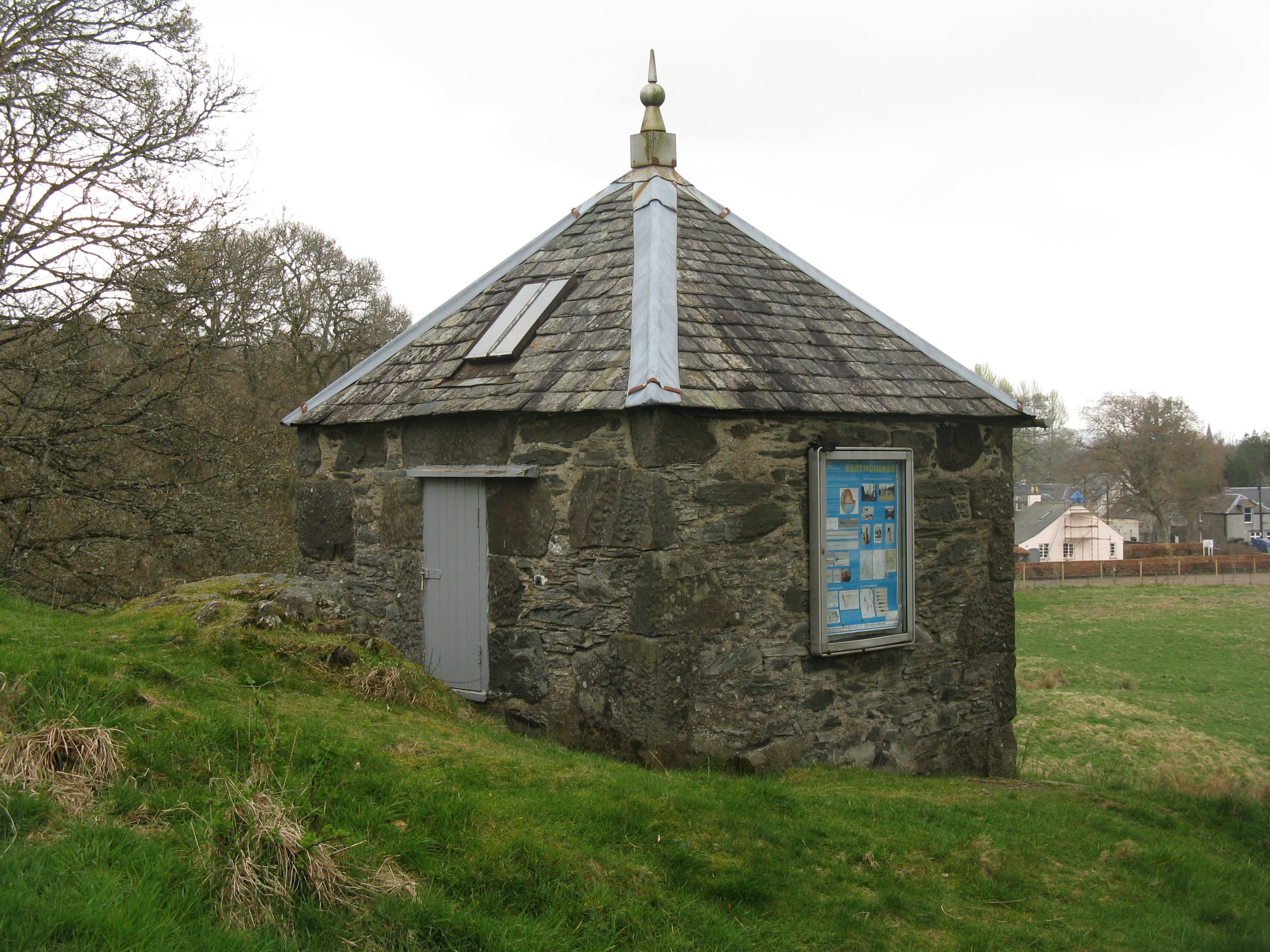
Earthquake House

The Earthquake House, on the outskirts of the village of Comrie, in Perth and Kinross, Scotland, was the first dedicated earthquake observatory in the...

Nearby Amenities

Located within 500m of 56.383984,-4.0229141
Power: pole
Source: Bing
Lat/Long: 56.3800931/-4.0245875
Power: pole
Source: Bing
Lat/Long: 56.3808188/-4.0230077
Power: pole
Source: Bing
Lat/Long: 56.3811498/-4.0222276
Power: pole
Source: Bing
Lat/Long: 56.3817746/-4.0208616
Power: pole
Source: Bing
Lat/Long: 56.3823555/-4.0195629
Power: pole
Source: Bing
Lat/Long: 56.3829167/-4.0183197
Power: pole
Source: Bing
Lat/Long: 56.3835875/-4.0168111
Power: pole
Source: Bing
Lat/Long: 56.3841157/-4.0156231
The data included in this document is from www.openstreetmap.org. The data is made available under ODbL.

Have you been to Crappich Wood?

Leave your review of Crappich Wood below (or comments, questions and feedback).