Castlehill Wood
Wood, Forest in Stirlingshire
Scotland
Castlehill Wood
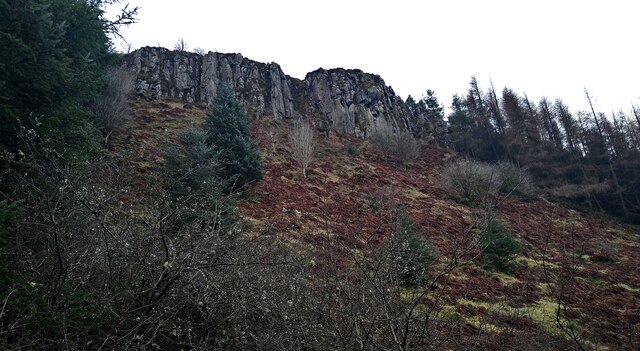
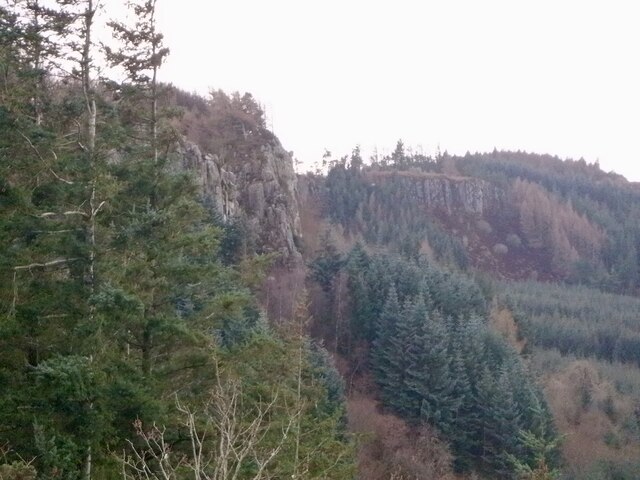
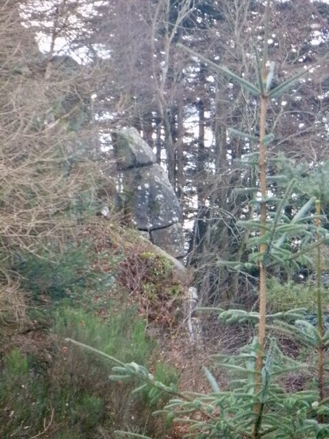
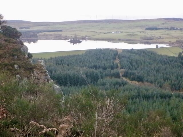
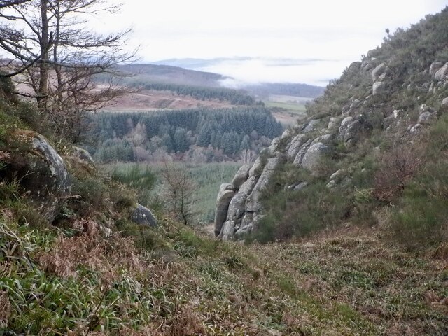
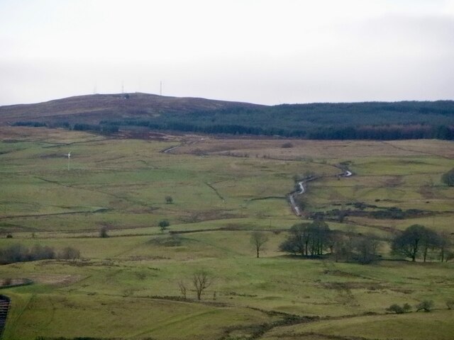
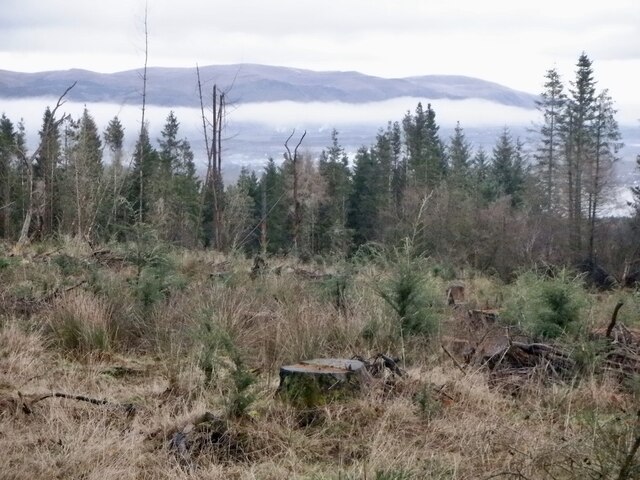
Castlehill Wood is a picturesque forest located in Stirlingshire, Scotland. Covering an area of approximately 200 acres, it is nestled on the slopes of Castle Hill, offering stunning views of the surrounding countryside and the nearby city of Stirling.
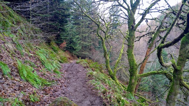
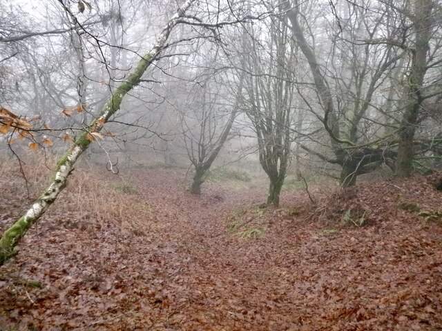
The wood consists mainly of broadleaf trees, including oak, beech, and birch, which create a diverse and vibrant woodland ecosystem. The trees provide a habitat for a variety of wildlife, such as red squirrels, roe deer, and a wide range of bird species, making it a haven for nature enthusiasts and wildlife watchers.
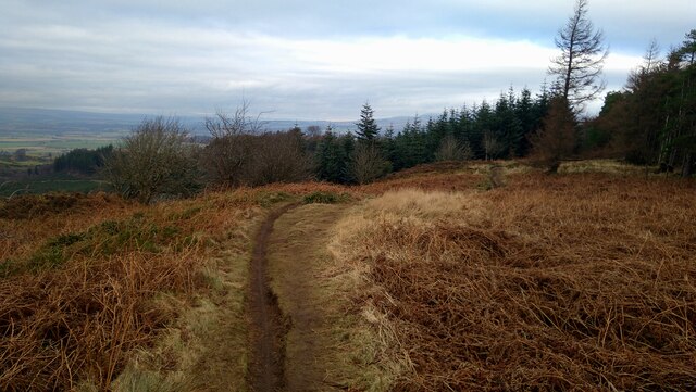
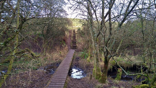
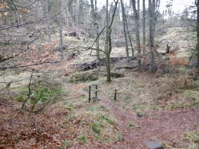
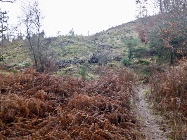
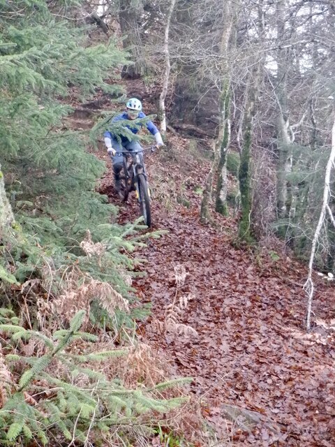
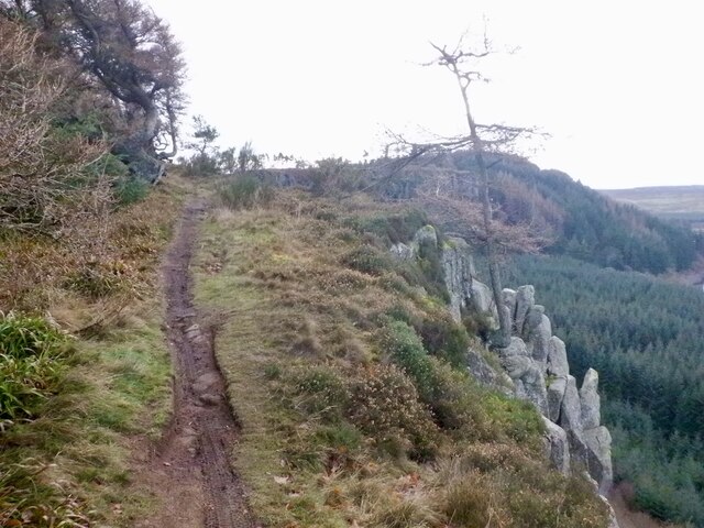
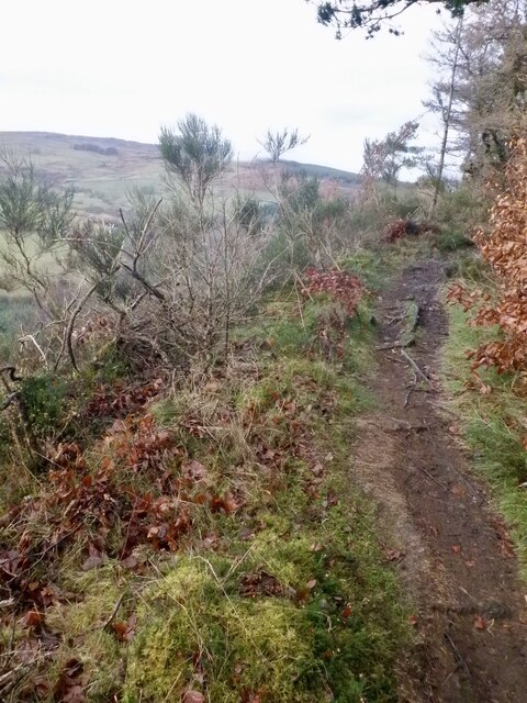
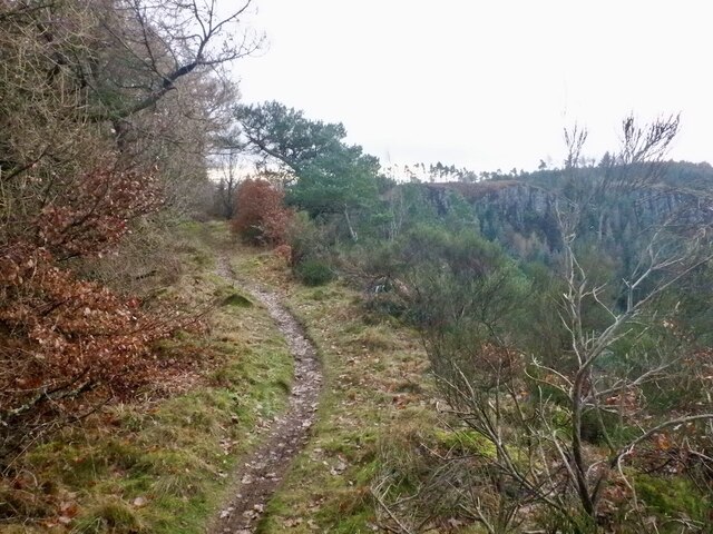
Visitors to Castlehill Wood can explore the numerous walking trails that wind their way through the forest, offering tranquil and peaceful surroundings. The paths are well-maintained and suitable for all ages and fitness levels, making it an ideal destination for families and individuals seeking a leisurely stroll or a more challenging hike.
In addition to its natural beauty, Castlehill Wood also holds historical significance. It is believed that the wood was once part of the hunting grounds of Stirling Castle, which stands proudly on the adjacent hill. The castle's presence adds to the charm and mystique of the wood, making it an intriguing destination for history enthusiasts.
Castlehill Wood is easily accessible, with ample parking facilities available nearby. It provides a welcome escape from the hustle and bustle of city life, offering a serene and peaceful environment for visitors to connect with nature and enjoy the beauty of the Scottish countryside.
If you have any feedback on the listing, please let us know in the comments section below.
Castlehill Wood Images
Images are sourced within 2km of 56.094572/-4.0060045 or Grid Reference NS7590. Thanks to Geograph Open Source API. All images are credited.
Castlehill Wood is located at Grid Ref: NS7590 (Lat: 56.094572, Lng: -4.0060045)
Unitary Authority: Stirling
Police Authority: Forth Valley
What 3 Words
///stunner.perch.radiating. Near Stirling
Nearby Locations
Related Wikis

Touch House
Touch House is a country house located 4 kilometres (2.5 mi) west of Stirling in central Scotland. It stands at the foot of the Touch Hills, on the south...

Gillies Hill
Gillies Hill is located west of Stirling and the M9, south of Cambusbarron, and north of the Bannock Burn in Central Scotland. Gillies Hill covers a 140...

Cambusbarron
Cambusbarron is a village in Stirling, Scotland. In the 2001 census, it had a population of 3,224. There is evidence of settlement at the site since the...
Birkhill House, Stirling
Birkhill House is a historic house situated between the city of Stirling and the village of Cambusbarron in central Scotland. == History == There is evidence...
Nearby Amenities
Located within 500m of 56.094572,-4.0060045Have you been to Castlehill Wood?
Leave your review of Castlehill Wood below (or comments, questions and feedback).