Meadow Wood
Wood, Forest in Kirkcudbrightshire
Scotland
Meadow Wood
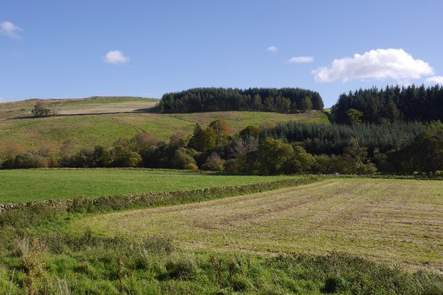
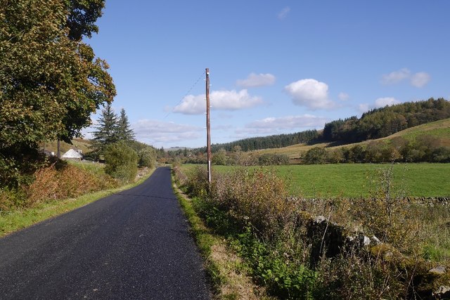
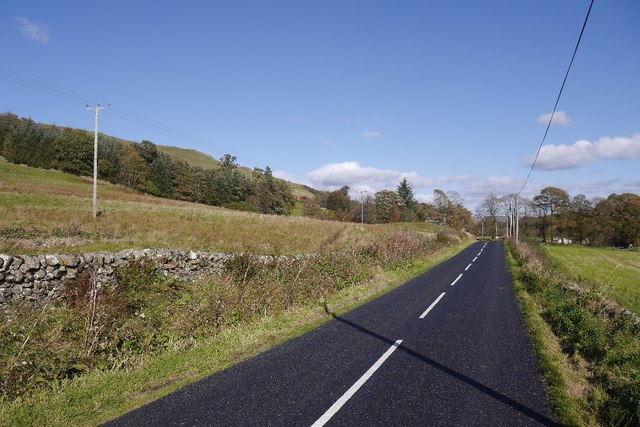
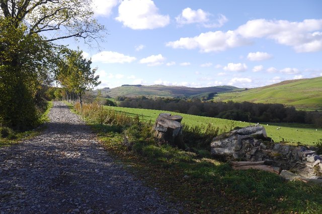
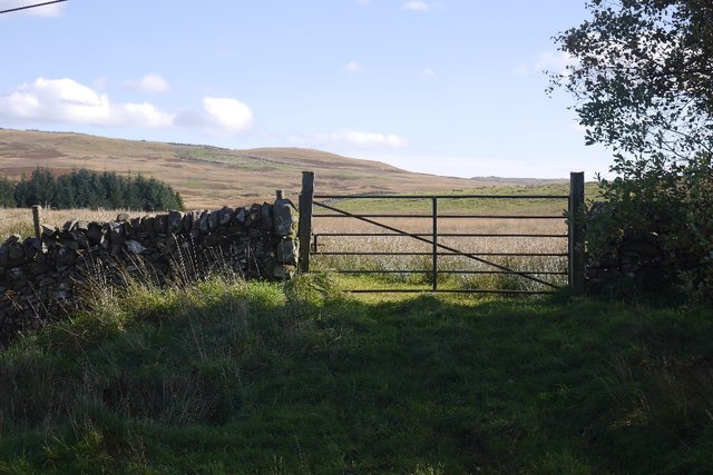
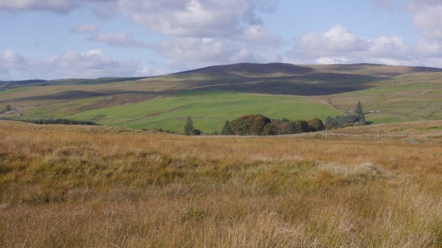
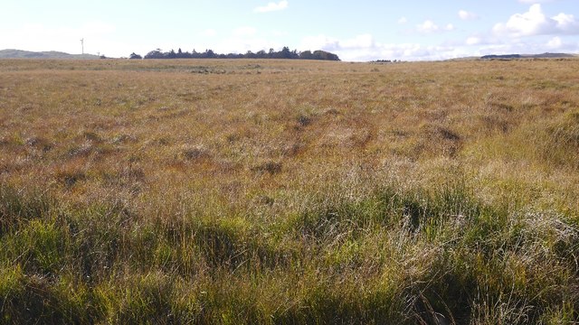
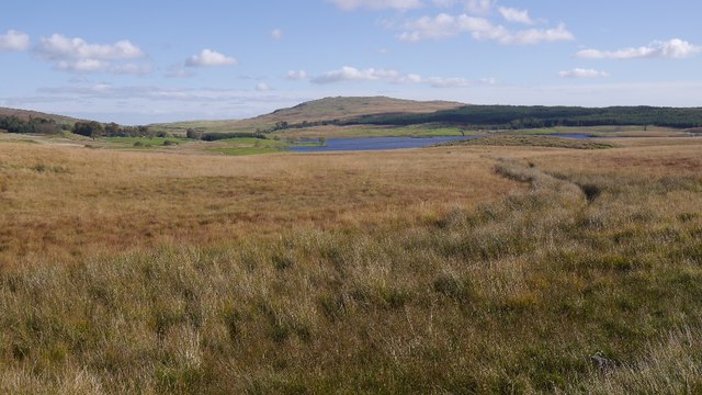
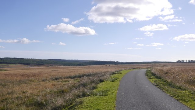
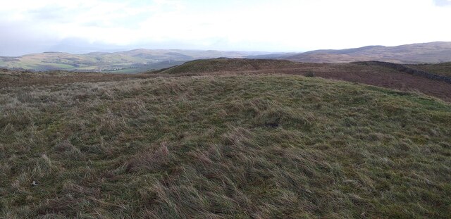
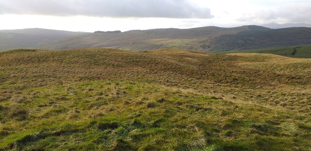
Meadow Wood, located in Kirkcudbrightshire, Scotland, is a picturesque woodland area known for its natural beauty and diverse wildlife. Covering an expansive area of approximately 500 acres, Meadow Wood is a prominent feature of the local landscape.
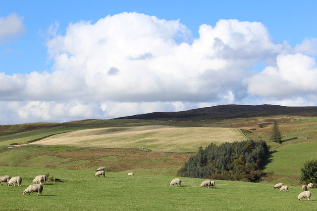
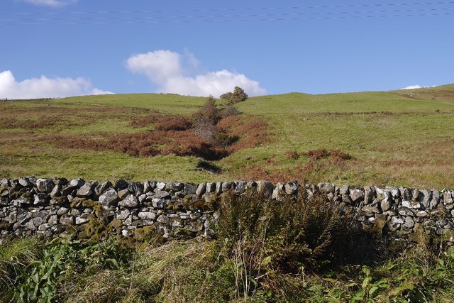
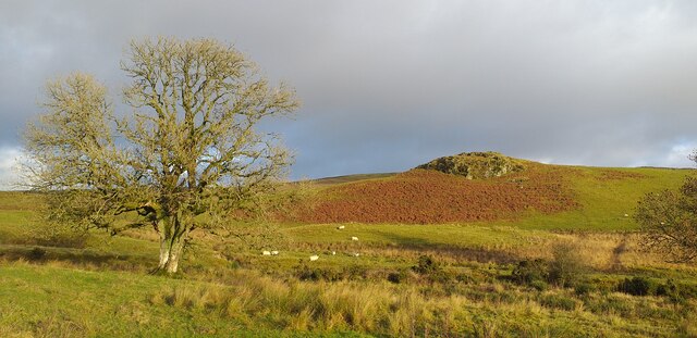
The wood is predominantly composed of native broadleaf trees, such as oak, birch, and beech, which create a dense canopy overhead. This lush vegetation provides a habitat for a wide range of woodland animals and birds, including red squirrels, roe deer, and various species of woodland birds.
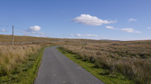
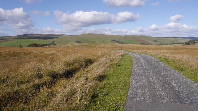
Walking through Meadow Wood, visitors can enjoy a peaceful and tranquil atmosphere, surrounded by the sounds of rustling leaves and birdsong. The wood offers several well-maintained trails that wind their way through the trees, providing an opportunity to explore the area and appreciate its natural wonders.
In addition to its natural beauty, Meadow Wood also holds historical significance. The wood was once part of an ancient estate, and remnants of old stone walls and the foundations of long-gone buildings can still be seen in certain areas. These historical features add a sense of charm and intrigue to the woodland, making it a fascinating destination for history enthusiasts.
Overall, Meadow Wood in Kirkcudbrightshire is a haven for nature lovers and those seeking a peaceful escape from the hustle and bustle of everyday life. With its stunning scenery, abundant wildlife, and intriguing history, it truly offers a unique and enriching experience for visitors.
If you have any feedback on the listing, please let us know in the comments section below.
Meadow Wood Images
Images are sourced within 2km of 55.15951/-3.981544 or Grid Reference NX7386. Thanks to Geograph Open Source API. All images are credited.
Meadow Wood is located at Grid Ref: NX7386 (Lat: 55.15951, Lng: -3.981544)
Unitary Authority: Dumfries and Galloway
Police Authority: Dumfries and Galloway
What 3 Words
///assembles.folks.parrot. Near Thornhill, Dumfries & Galloway
Nearby Locations
Related Wikis

Craigdarroch
"Craigdarroch, An Accessory to Murder" is an expansion set for the board game Kill Doctor Lucky Craigdarroch is a house near Moniaive, Dumfries and Galloway...

Loch Skae
Loch Skae is a small, upland freshwater loch to the north of Blackcraig Hill, approximately 18 miles (29 km) west of Dumfries, Scotland, 0.5 mi (0.80 km...

Loch Howie
Loch Howie is a small, narrow, upland freshwater loch on the north side of Blackcraig Hill, approximately 18 miles (29 km) west of Dumfries, Scotland....

Craigenputtock
Craigenputtock (usually spelled by the Carlyles as Craigenputtoch) is an estate in Scotland where Thomas Carlyle lived from 1828 to 1834. He wrote several...

Moniaive railway station
Moniaive railway station is the closed station terminus of the Cairn Valley Light Railway (CVR) branch, from Dumfries. It served the rural area of Moniaive...

Moniaive
Moniaive ( 'monny-IVE'; Scottish Gaelic: Am Moine Naomh, "The Holy Moor") is a village in the Parish of Glencairn, in Dumfries and Galloway, southwest...

Carsphairn and Scaur Hills
The Carsphairn and Scaur Hills are the western and eastern hills respectively of a hill range in the Southern Uplands of Scotland. Ordnance Survey maps...

Crawfordton House
Crawfordton House is a category B listed 19th-century country house, situated close to Moniaive in Dumfriesshire, Scotland. It was operated as Crawfordton...
Nearby Amenities
Located within 500m of 55.15951,-3.981544Have you been to Meadow Wood?
Leave your review of Meadow Wood below (or comments, questions and feedback).