Bain's Bog Wood

Wood, Forest in Stirlingshire

Scotland

Bain's Bog Wood

Unnamed reservoir A small reservoir formed by damming the two Blackspouts.
Unnamed reservoir Credit: Stephen Coyne

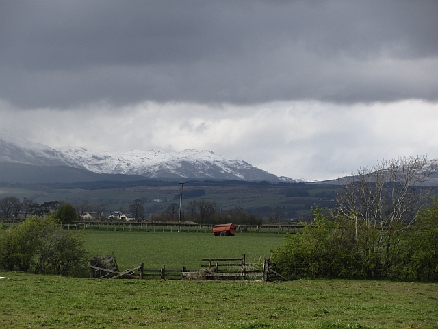
Bain's Bog Wood is a captivating woodland nestled in the heart of Stirlingshire, Scotland. Spanning over a vast area, this forest is renowned for its unique and ancient bog wood formations, making it a popular destination for nature enthusiasts and history buffs alike.

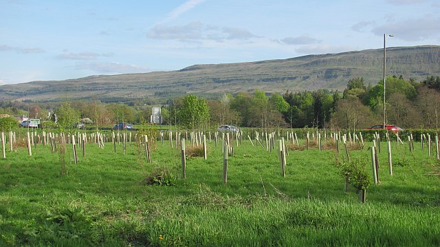
The wood is home to a rich variety of plant and animal life, creating a diverse and thriving ecosystem. Visitors can witness the beauty of indigenous flora such as oak, birch, and rowan trees, which provide shelter for an array of wildlife including red squirrels, roe deer, and a plethora of bird species.

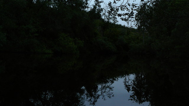
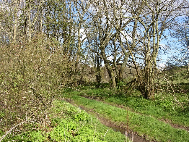
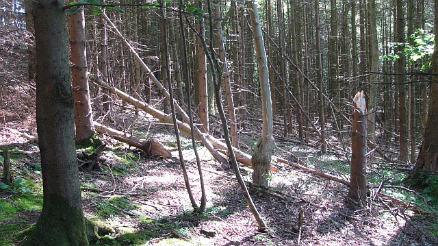
What truly sets Bain's Bog Wood apart is the presence of the ancient bog wood formations. These preserved remnants of trees that lived thousands of years ago have been naturally fossilized by the acidic and oxygen-poor conditions of the bog. The wood appears dark, dense, and almost petrified, lending an otherworldly atmosphere to the forest.

The bog wood holds great historical significance, as it offers insights into climatic and environmental changes that have occurred over millennia. Scientists and archaeologists have carefully studied these ancient artifacts, uncovering valuable evidence about the region's past.

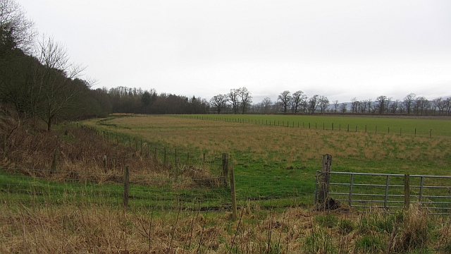
Visitors to Bain's Bog Wood can explore the forest by following an intricate network of trails that wind through the enchanting landscape. Interpretive signs along the way provide information about the flora, fauna, and history of the area, enhancing the overall educational experience.

Whether one seeks serenity in nature, a glimpse into the past, or simply a peaceful walk in the woods, Bain's Bog Wood offers a truly remarkable and unforgettable experience for all who venture into its depths.

If you have any feedback on the listing, please let us know in the comments section below.

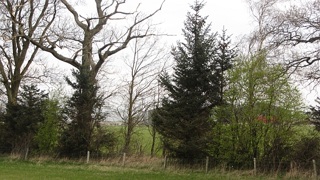
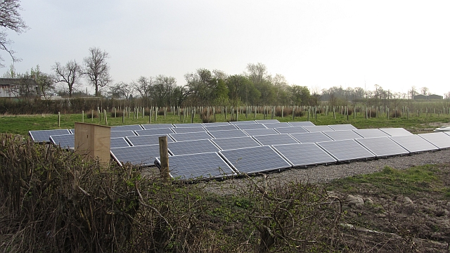
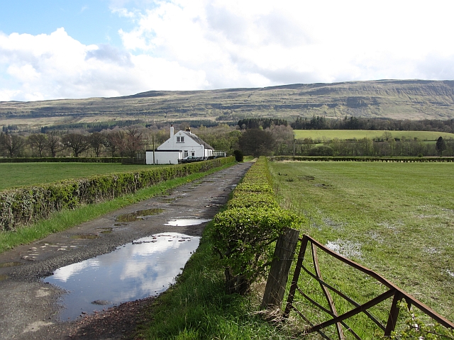
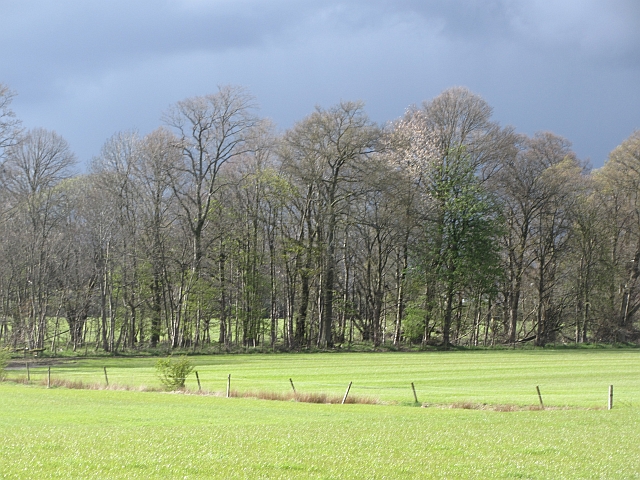
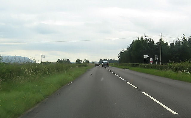
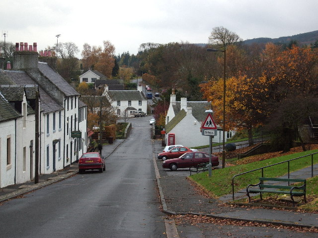
Bain's Bog Wood Images

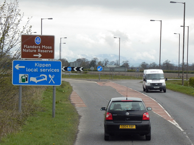
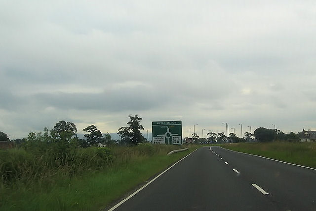
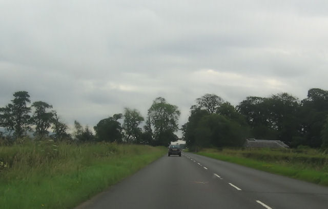
Images are sourced within 2km of 56.126902/-4.122861 or Grid Reference NS6894. Thanks to Geograph Open Source API. All images are credited.

Unnamed reservoir A small reservoir formed by damming the two Blackspouts.
Unnamed reservoir
A small reservoir formed by damming the two Blackspouts.
Young woodland Trees have recently been planted near Kippen Station.
Young woodland
Trees have recently been planted near Kippen Station.
Foot of the steps Where the carse meets the first steep section of the Gargunnock Hills. The scarp is stepped with successive lava flows.
Foot of the steps
Where the carse meets the first steep section of the Gargunnock Hills. The scarp is stepped with successive lava flows.
Stubble, Gargunnock The field is a bit wet after a day of rain. This is the flat carse land beside the Forth.
Stubble, Gargunnock
The field is a bit wet after a day of rain. This is the flat carse land beside the Forth.
Watercourse, Boquhan A burn on the Forth floodplain has wooded banks. The surrounding fields are grass.
Watercourse, Boquhan
A burn on the Forth floodplain has wooded banks. The surrounding fields are grass.
Photovoltaic array, Kippen Station Behind a striking modern building and amongst new woodland there is a set of panels generating electricity.
Photovoltaic array, Kippen Station
Behind a striking modern building and amongst new woodland there is a set of panels generating electricity.
Carse near Gargunnock Flat land contrasts with the steep scarp of the basalt Gargunnock Hills.
Carse near Gargunnock
Flat land contrasts with the steep scarp of the basalt Gargunnock Hills.
Woodland, Boquhan A strip of woodland between grass fields. There is some dairy farming here.
Woodland, Boquhan
A strip of woodland between grass fields. There is some dairy farming here.
Carse near Birkenwood The flood plain of the Forth, once covered in bog is now productive farmland. There had been a heavy snowfall during the previous 12 hours on the hills.
Carse near Birkenwood
The flood plain of the Forth, once covered in bog is now productive farmland. There had been a heavy snowfall during the previous 12 hours on the hills.
Bain's Bog Wood A long wood on the edge of the carse land.
Bain's Bog Wood
A long wood on the edge of the carse land.
Kippen Station Roundabout Approaching the Kippen Station Roundabout from the west on the A811 towards Stirling.
Kippen Station Roundabout
Approaching the Kippen Station Roundabout from the west on the A811 towards Stirling.
A811, Near Kippen
A811, Near Kippen
A811, Kippen Station Approaching the Kippen Station roundabout on the A811 from Stirling.
A811, Kippen Station
Approaching the Kippen Station roundabout on the A811 from Stirling.
Woodhouse cafe An attractive recent addition to the facilities beside Kippen Station roundabout on the A811 road.
Woodhouse cafe
An attractive recent addition to the facilities beside Kippen Station roundabout on the A811 road.
Bogle Glen Wood A small conifer plantation.
Bogle Glen Wood
A small conifer plantation.
Kippen station roundabout A811 west
Kippen station roundabout
A811 west
A811 towards Inch Of Leckie turning
Glinns Road turning off A811
Show me another place!

Bain's Bog Wood is located at Grid Ref: NS6894 (Lat: 56.126902, Lng: -4.122861)

Unitary Authority: Stirling

Police Authority: Forth Valley

What 3 Words

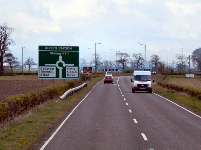
///snaps.tweezers.vets. Near Kippen, Stirling

Related Wikis

Leckie Broch

Leckie Broch is an iron-age broch located in Stirlingshire, Scotland. == Location == Just above the confluence of two streams with deep gulleys on the...

Kippen railway station

Kippen railway station co-served the village of Kippen, Stirling, Scotland, from 1856 to 1934 on the Forth and Clyde Junction Railway. == History == The...

Gargunnock

Gargunnock is a small village in the Stirling council area with an active community trust, seven miles (eleven kilometres) west of Stirling, in Scotland...

Stirling (UK Parliament constituency)

Stirling is a county constituency of the House of Commons of the Parliament of the United Kingdom. It elects one Member of Parliament (MP) by the first...

Nearby Amenities

Located within 500m of 56.126902,-4.122861
Power: pole
Lat/Long: 56.125233/-4.1284004
Power: pole
Lat/Long: 56.1245812/-4.1285469
Power: pole
Lat/Long: 56.1238572/-4.1280051
Power: pole
Lat/Long: 56.1259596/-4.1179114
Power: pole
Lat/Long: 56.1258873/-4.1167087
Power: pole
Lat/Long: 56.1258139/-4.1155247
Power: pole
Lat/Long: 56.1305202/-4.1211954
Power: pole
Lat/Long: 56.1300166/-4.1208482
Power: pole
Lat/Long: 56.1295002/-4.1204717
Power: pole
Lat/Long: 56.1289593/-4.1200889
Power: pole
Lat/Long: 56.128458/-4.1197249
Power: pole
Lat/Long: 56.1279311/-4.1193463
Power: pole
Lat/Long: 56.1271931/-4.1188339
Power: pole
Lat/Long: 56.1264178/-4.118244
Power: pole
Lat/Long: 56.1254781/-4.1175537
Power: pole
Lat/Long: 56.1252438/-4.1173989
Power: pole
Lat/Long: 56.1248742/-4.1184072
Power: pole
Lat/Long: 56.1244999/-4.1193882
Power: pole
Lat/Long: 56.1241128/-4.1203776
Power: pole
Lat/Long: 56.1236208/-4.1211369
Power: pole
Lat/Long: 56.1231451/-4.121846
Power: pole
Lat/Long: 56.1226624/-4.1225885
Power: pole
Lat/Long: 56.1306403/-4.1266068
Power: pole
Lat/Long: 56.1307207/-4.1258015
Power: pole
Lat/Long: 56.1308525/-4.124423
Power: pole
Lat/Long: 56.1307406/-4.1233667
Power: pole
Lat/Long: 56.1306158/-4.122256
Power: pole
Lat/Long: 56.1306123/-4.1198274
The data included in this document is from www.openstreetmap.org. The data is made available under ODbL.

Have you been to Bain's Bog Wood?

Leave your review of Bain's Bog Wood below (or comments, questions and feedback).