Old Leckie

Heritage Site in Stirlingshire

Scotland

Old Leckie

Unnamed reservoir A small reservoir formed by damming the two Blackspouts.
Unnamed reservoir Credit: Stephen Coyne

Old Leckie is a historic mansion located in Stirlingshire, Scotland. Situated on the banks of the River Forth, this heritage site is renowned for its architectural beauty and historical significance. The origins of Old Leckie can be traced back to the 14th century, although the current building primarily dates back to the 17th century.

The mansion is constructed in a traditional Scottish tower house style, featuring a four-story tower with crow-stepped gables and a distinctive stone façade. The interior of Old Leckie boasts remarkable period features, such as intricately carved woodwork, ornate plasterwork, and stunning fireplaces.

Throughout its long history, Old Leckie has been associated with several prominent figures, including the Napier family, who owned the estate for over 400 years. The mansion has witnessed significant historical events, such as the Jacobite uprisings, and has been visited by notable figures like Mary, Queen of Scots.

Visitors to Old Leckie can explore the picturesque grounds, which include a walled garden, a charming courtyard, and scenic walks along the river. The estate provides a glimpse into Scottish history and offers visitors a chance to step back in time. Guided tours are available, providing detailed insights into the mansion's rich past.

Old Leckie is a cherished heritage site, carefully preserved to maintain its historical integrity. It offers a unique and immersive experience for history enthusiasts and provides a captivating glimpse into Scotland's architectural and cultural heritage.

If you have any feedback on the listing, please let us know in the comments section below.
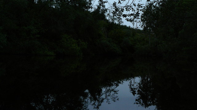
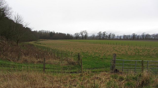
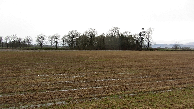
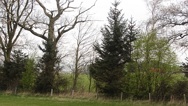
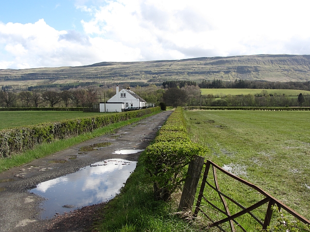
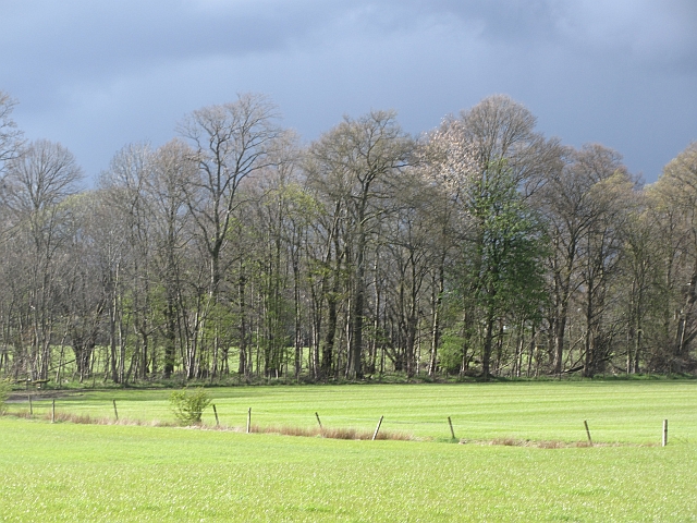
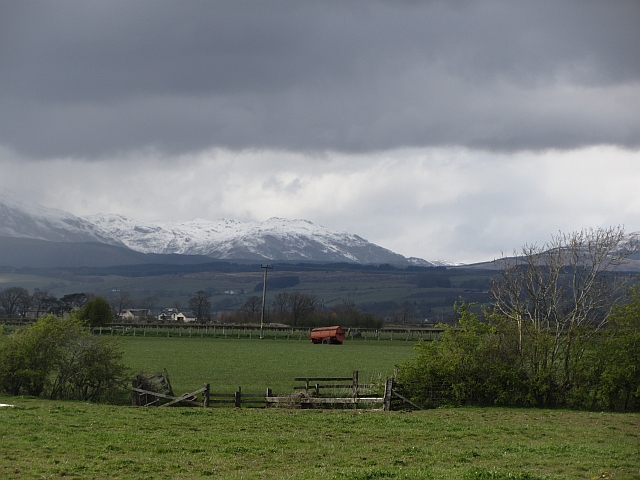
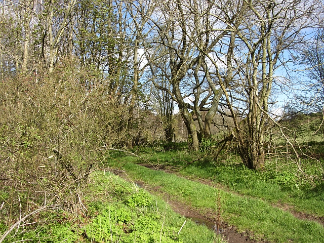
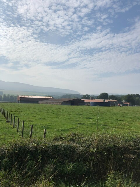
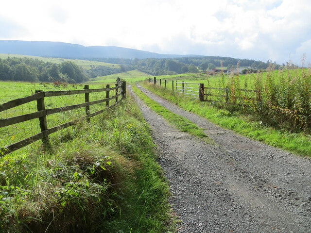
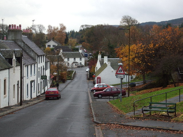
Old Leckie Images

Images are sourced within 2km of 56.125/-4.115 or Grid Reference NS6894. Thanks to Geograph Open Source API. All images are credited.

Unnamed reservoir A small reservoir formed by damming the two Blackspouts.
Unnamed reservoir
A small reservoir formed by damming the two Blackspouts.
Foot of the steps Where the carse meets the first steep section of the Gargunnock Hills. The scarp is stepped with successive lava flows.
Foot of the steps
Where the carse meets the first steep section of the Gargunnock Hills. The scarp is stepped with successive lava flows.
Stubble, Gargunnock The field is a bit wet after a day of rain. This is the flat carse land beside the Forth.
Stubble, Gargunnock
The field is a bit wet after a day of rain. This is the flat carse land beside the Forth.
Watercourse, Boquhan A burn on the Forth floodplain has wooded banks. The surrounding fields are grass.
Watercourse, Boquhan
A burn on the Forth floodplain has wooded banks. The surrounding fields are grass.
Carse near Gargunnock Flat land contrasts with the steep scarp of the basalt Gargunnock Hills.
Carse near Gargunnock
Flat land contrasts with the steep scarp of the basalt Gargunnock Hills.
Woodland, Boquhan A strip of woodland between grass fields. There is some dairy farming here.
Woodland, Boquhan
A strip of woodland between grass fields. There is some dairy farming here.
Carse near Birkenwood The flood plain of the Forth, once covered in bog is now productive farmland. There had been a heavy snowfall during the previous 12 hours on the hills.
Carse near Birkenwood
The flood plain of the Forth, once covered in bog is now productive farmland. There had been a heavy snowfall during the previous 12 hours on the hills.
Bain's Bog Wood A long wood on the edge of the carse land.
Bain's Bog Wood
A long wood on the edge of the carse land.
A811, Near Kippen
A811, Near Kippen
Bogle Glen Wood A small conifer plantation.
Bogle Glen Wood
A small conifer plantation.
A811 towards Inch Of Leckie turning
Glinns Road turning off A811
Turning for Gargunnock From A811 east
Turning for Gargunnock
From A811 east
Gargunnock junction with A811 Junction with A811. The road to Gargunnock (behind photographer), and farm road to Nether Carse.
Gargunnock junction with A811
Junction with A811. The road to Gargunnock (behind photographer), and farm road to Nether Carse.
Turning for Nether Carse and Patrickston
Boquhan Home Farm
Boquhan Home Farm
Track giving access to Fourmerk Looking southward.
Track giving access to Fourmerk
Looking southward.
Minor road at Burntown Looking eastward.
Minor road at Burntown
Looking eastward.
Show me another place!

Old Leckie is located at Grid Ref: NS6894 (Lat: 56.125, Lng: -4.115)

Unitary Authority: Stirling

Police Authority: Forth Valley

What 3 Words

///frock.sprayer.fizzle. Near Kippen, Stirling

Related Wikis

Leckie Broch

Leckie Broch is an iron-age broch located in Stirlingshire, Scotland. == Location == Just above the confluence of two streams with deep gulleys on the...

Gargunnock

Gargunnock is a small village in the Stirling council area with an active community trust, seven miles (eleven kilometres) west of Stirling, in Scotland...

Stirling (UK Parliament constituency)

Stirling is a county constituency of the House of Commons of the Parliament of the United Kingdom. It elects one Member of Parliament (MP) by the first...

Kippen railway station

Kippen railway station co-served the village of Kippen, Stirling, Scotland, from 1856 to 1934 on the Forth and Clyde Junction Railway. == History == The...

Related Videos

Wheelchair Accessible Treehouse - Unique Holiday Accommodation in Stirlingshire Scotland

Looking for unusual wheelchair accessible holiday accommodation in Scotland? We've got you covered. Check out this ...

Early Winter River Forth On Visit To Central Scotland

Tour Scotland 4K early Winter morning travel video of the River Forth with snow on the Ochil Hills in the background on visit to ...

We took our kayak out on the Forth to take a closer look at the abandoned island of Inchmickery.

Become a SteveMarsh Supporter at: https://www.patreon.com/SteveMarsh With paddling one of the few activities permitted at the ...

Nearby Amenities

Located within 500m of 56.125,-4.115
Waterway: waterfall
Lat/Long: 56.1260568/-4.1084274
Power: pole
Lat/Long: 56.1259596/-4.1179114
Power: pole
Lat/Long: 56.1258873/-4.1167087
Power: pole
Lat/Long: 56.1258139/-4.1155247
Power: pole
Lat/Long: 56.1257404/-4.1143638
Power: pole
Lat/Long: 56.1256681/-4.1131632
Power: pole
Lat/Long: 56.1256005/-4.1119541
Power: pole
Lat/Long: 56.1250724/-4.1113664
Material: wood
Power: pole
Lat/Long: 56.1245372/-4.1108183
Material: wood
Power: pole
Lat/Long: 56.124037/-4.1102682
Material: wood
Power: pole
Lat/Long: 56.123531/-4.109716
Material: wood
Power: pole
Lat/Long: 56.1233305/-4.1086324
Material: wood
Power: pole
Lat/Long: 56.1225913/-4.1089629
Material: wood
Power: pole
Lat/Long: 56.1219593/-4.1093018
Power: pole
Lat/Long: 56.128458/-4.1197249
Power: pole
Lat/Long: 56.1279311/-4.1193463
Power: pole
Lat/Long: 56.1271931/-4.1188339
Power: pole
Lat/Long: 56.1264178/-4.118244
Power: pole
Lat/Long: 56.1254781/-4.1175537
Power: pole
Lat/Long: 56.1252438/-4.1173989
Power: pole
Lat/Long: 56.1248742/-4.1184072
Power: pole
Lat/Long: 56.1244999/-4.1193882
Power: pole
Lat/Long: 56.1241128/-4.1203776
Power: pole
Lat/Long: 56.1236208/-4.1211369
Power: pole
Lat/Long: 56.1231451/-4.121846
The data included in this document is from www.openstreetmap.org. The data is made available under ODbL.

Have you been to Old Leckie?

Leave your review of Old Leckie below (or comments, questions and feedback).