Alt

Settlement in Lancashire

England

Alt

Inscribed stone on the south side of Twirl Hill Road, Hartshead Inscribed stone on the south side of Twirl Hill Road. In the former Ashton under Lyne parish to 1894 and Hartshead parish from 1894 to 1974. This stone is thought to be the collection place for the northern part of the ancient parish of Ashton-under-Lyne and is situated at a place called Twirl Hill between the hamlets of Alt Hill and Hartshead, just below the local viewpoint of Hartshead Pike. The practice of paying tithes was abandoned in the 1830’s. The “Tythe Stone” inscription is thought to have been made by local man John Coulthard in 1840 to ensure its preservation. See also <span class="nowrap"><a title="http://www.marland.org/places/marlandplaces-twarlhill.htm" rel="nofollow ugc noopener" href="http://www.marland.org/places/marlandplaces-twarlhill.htm">Link</a><img style="margin-left:2px;" alt="External link" title="External link - shift click to open in new window" src="https://s1.geograph.org.uk/img/external.png" width="10" height="10"/></span>

Milestone Society National ID: LA_HARTS01cm
Inscribed stone on the south side of Twirl Hill Road, Hartshead Credit: D Garside

Alt is a small village located in the county of Lancashire, England. Situated in the rural countryside, Alt is known for its idyllic and picturesque surroundings. The village is situated approximately 4 miles west of the town of Rochdale and is part of the Rochdale Metropolitan Borough.

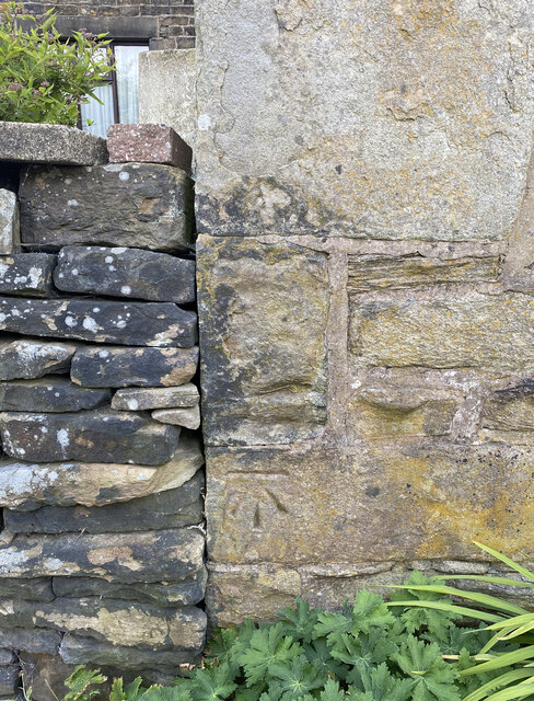
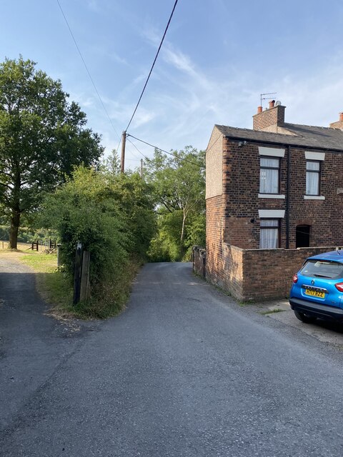
Alt is home to a relatively small population, with a close-knit community that values its rural heritage. The village is characterized by its charming stone cottages, well-maintained gardens, and scenic landscapes. The rolling hills and green fields surrounding Alt provide a tranquil and peaceful atmosphere for residents and visitors alike.

Despite its small size, Alt offers a range of amenities to cater to the needs of its community. These include a local pub, a village hall, and a primary school. While the village does not have its own dedicated shops, residents can easily access a variety of services and facilities in nearby towns.

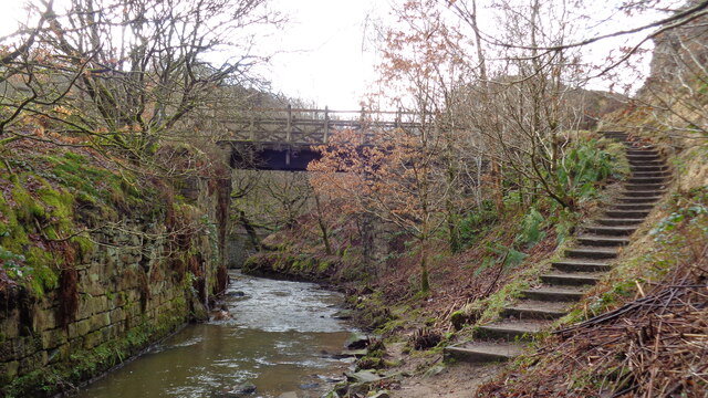
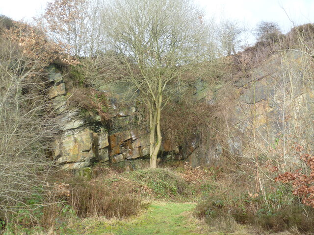
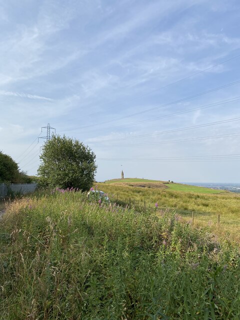
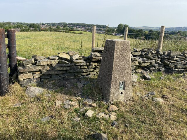
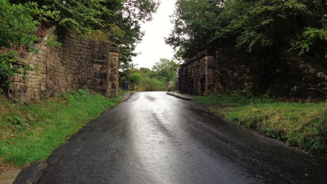
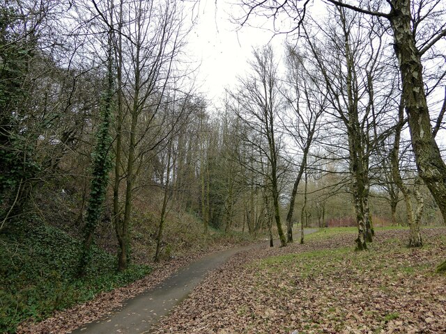
Alt is well-positioned for those who enjoy outdoor activities and exploring nature. The village is surrounded by several walking trails and paths that offer breathtaking views of the countryside. Additionally, the nearby Pennines provide opportunities for hiking, cycling, and other outdoor pursuits.

In summary, Alt is a charming village nestled in the Lancashire countryside, offering a peaceful and scenic setting for its residents. With its strong community spirit and access to beautiful natural landscapes, Alt provides a rural escape from the hustle and bustle of nearby towns.

If you have any feedback on the listing, please let us know in the comments section below.
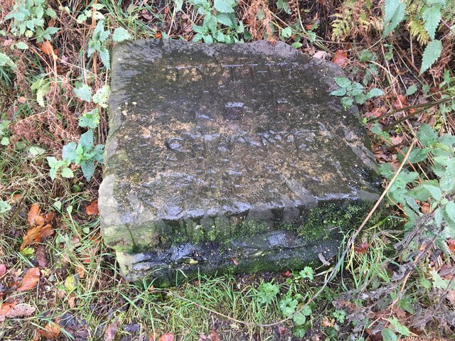
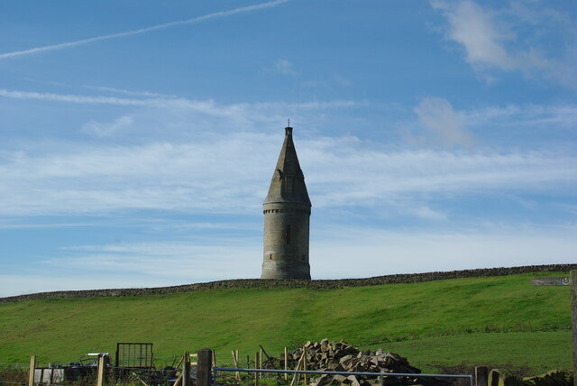
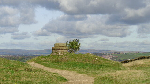
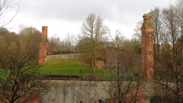
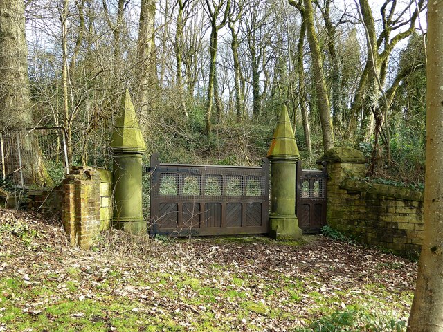
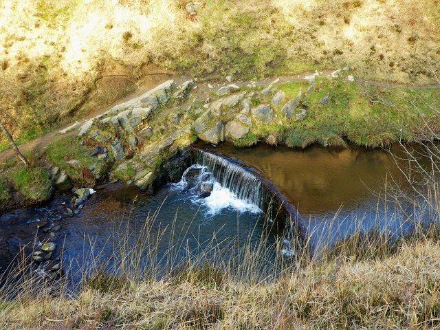
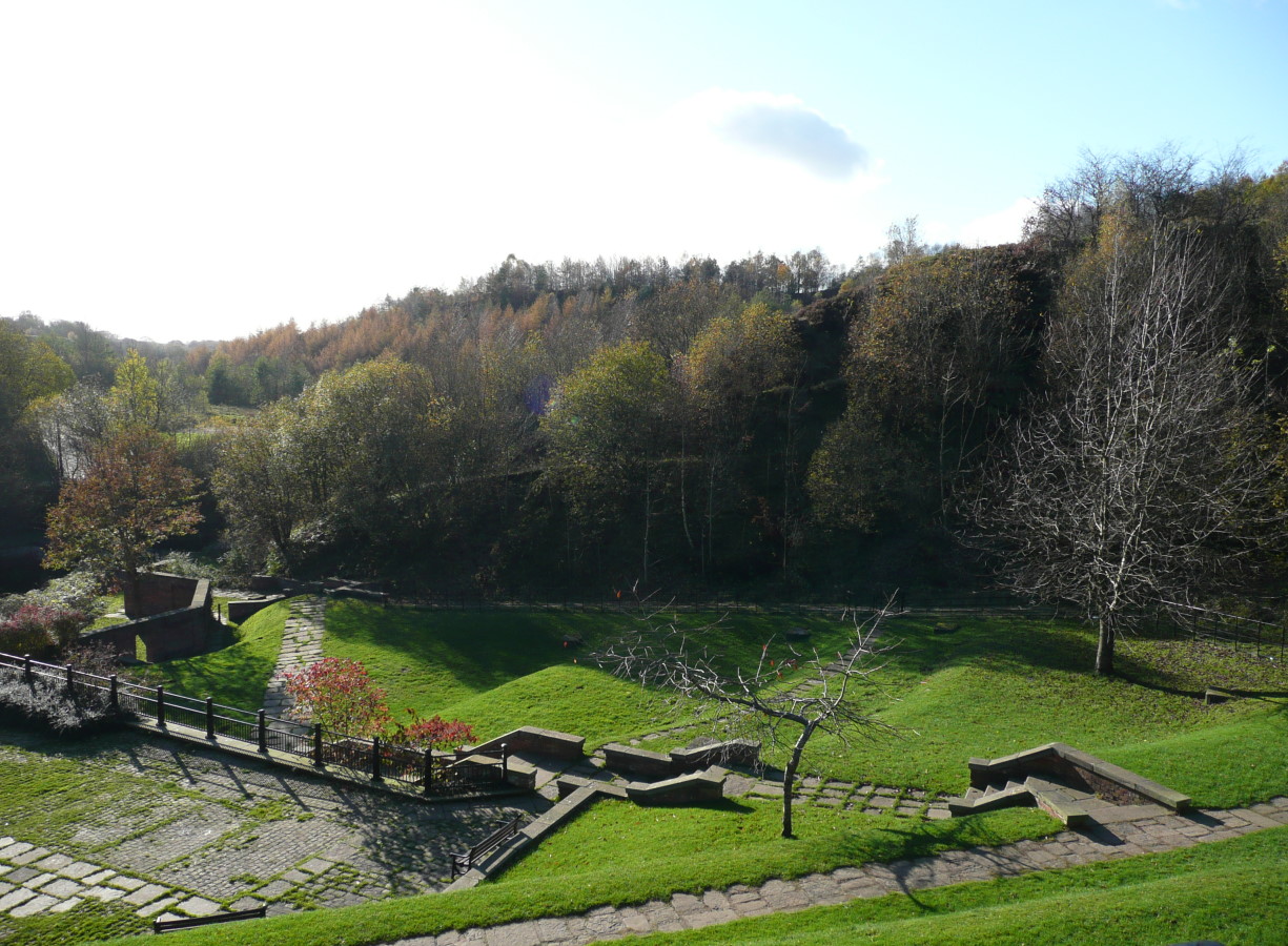
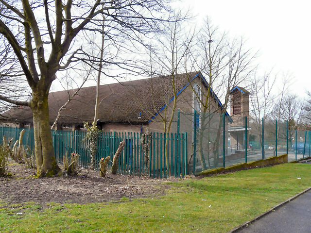
Alt Images

Images are sourced within 2km of 53.524079/-2.083683 or Grid Reference SD9403. Thanks to Geograph Open Source API. All images are credited.

Inscribed stone on the south side of Twirl Hill Road, Hartshead Inscribed stone on the south side of Twirl Hill Road. In the former Ashton under Lyne parish to 1894 and Hartshead parish from 1894 to 1974. This stone is thought to be the collection place for the northern part of the ancient parish of Ashton-under-Lyne and is situated at a place called Twirl Hill between the hamlets of Alt Hill and Hartshead, just below the local viewpoint of Hartshead Pike. The practice of paying tithes was abandoned in the 1830’s. The “Tythe Stone” inscription is thought to have been made by local man John Coulthard in 1840 to ensure its preservation. See also <span class="nowrap"><a title="http://www.marland.org/places/marlandplaces-twarlhill.htm" rel="nofollow ugc noopener" href="http://www.marland.org/places/marlandplaces-twarlhill.htm">Link</a><img style="margin-left:2px;" alt="External link" title="External link - shift click to open in new window" src="https://s1.geograph.org.uk/img/external.png" width="10" height="10"/></span>

Milestone Society National ID: LA_HARTS01cm
Inscribed stone on the south side of Twirl Hill Road, Hartshead
Inscribed stone on the south side of Twirl Hill Road. In the former Ashton under Lyne parish to 1894 and Hartshead parish from 1894 to 1974. This stone is thought to be the collection place for the northern part of the ancient parish of Ashton-under-Lyne and is situated at a place called Twirl Hill between the hamlets of Alt Hill and Hartshead, just below the local viewpoint of Hartshead Pike. The practice of paying tithes was abandoned in the 1830’s. The “Tythe Stone” inscription is thought to have been made by local man John Coulthard in 1840 to ensure its preservation. See also LinkExternal link Milestone Society National ID: LA_HARTS01cm
Hartshead Pike Rebuilt to commemorate the marriage of Edward, Prince of Wales in 1863
Hartshead Pike
Rebuilt to commemorate the marriage of Edward, Prince of Wales in 1863
Hartshead Pike Well Often marked as a well on maps is this the site of the original tower on the summit of the hill?
Hartshead Pike Well
Often marked as a well on maps is this the site of the original tower on the summit of the hill?
Park Bridge Heritage Centre View from Alt Hill Road of the chimneys of the ironworks roller shop to the left and cotton mill to the right
Park Bridge Heritage Centre
View from Alt Hill Road of the chimneys of the ironworks roller shop to the left and cotton mill to the right
Old Tramway Bridge Over the River Medlock at the Park Bridge industrial heritage site
Old Tramway Bridge
Over the River Medlock at the Park Bridge industrial heritage site
Old Quarry On the Park Bridge industrial heritage site
Old Quarry
On the Park Bridge industrial heritage site
Brown Edge Trig Point Flush Bracket S2784
Views towards Hartshead Pike Tower
The Rock Trig Point Flush Bracket S2786
OS Cut Mark - Park Bridge, Keverlow Farm <span class="nowrap"><a title="https://www.bench-marks.org.uk/bm60764" rel="nofollow ugc noopener" href="https://www.bench-marks.org.uk/bm60764">Link</a><img style="margin-left:2px;" alt="External link" title="External link - shift click to open in new window" src="https://s1.geograph.org.uk/img/external.png" width="10" height="10"/></span>
OS Cut Mark - Park Bridge, Keverlow Farm
Mill Brow
Mill Brow
Railway Bridge Abutments On Alt Hill Lane for the former Oldham and Ashton railway route
Railway Bridge Abutments
On Alt Hill Lane for the former Oldham and Ashton railway route
Cycle route following line of former railway This view across Cranbrook Street just off the path shows the route is on the top of infill, since only the bridge parapet is visible of the former railway bridge. The path is on the  former Oldham to Greenfield line.
Cycle route following line of former railway
This view across Cranbrook Street just off the path shows the route is on the top of infill, since only the bridge parapet is visible of the former railway bridge. The path is on the former Oldham to Greenfield line.
Cycle path following route of former railway The path is approaching the former railway bridge at St. John Street which is one of the few not infilled on the route. The path runs from Oldham to Grotton along the former line to Greenfield.
Cycle path following route of former railway
The path is approaching the former railway bridge at St. John Street which is one of the few not infilled on the route. The path runs from Oldham to Grotton along the former line to Greenfield.
Cycle route following line of former railway This is the route from Ashton to Oldham and is here close to Alexandra Park, Oldham
Cycle route following line of former railway
This is the route from Ashton to Oldham and is here close to Alexandra Park, Oldham
Carriage drive gates to Dean House At Park Bridge
Carriage drive gates to Dean House
At Park Bridge
Weir on River Medlock This had a mill race that served the industrial complex at Park Bridge. The Medlock is in a narrow steep sided valley at this point.
Weir on River Medlock
This had a mill race that served the industrial complex at Park Bridge. The Medlock is in a narrow steep sided valley at this point.
Steps on the Medlock Trail Steps down from the Abbey Hills Road embankment to the River Medlock
Steps on the Medlock Trail
Steps down from the Abbey Hills Road embankment to the River Medlock
Show me another place!

Alt is located at Grid Ref: SD9403 (Lat: 53.524079, Lng: -2.083683)

Unitary Authority: Oldham

Police Authority: Greater Manchester

What 3 Words

///crass.jeeps.appear. Near Oldham, Manchester

Related Wikis

Alt, Greater Manchester

Alt is a semi-rural and suburban area lying on the borders of the towns of Oldham and Ashton-under-Lyne in Greater Manchester. Alt was formerly a civil...

Park Bridge

Park Bridge is an area of Ashton-under-Lyne, in the Metropolitan Borough of Tameside, in Greater Manchester, England. It is situated in the Medlock Valley...

Abbey Hills

Abbey Hills (archaically Wabbow Hills) is an area of Oldham in Greater Manchester. It is contiguous with Glodwick and Alt. Lying on the eastern border...

Park Bridge railway station

Park Bridge Railway Station was a railway station on the Oldham, Ashton-under-Lyne and Guide Bridge Junction Railway (OA&GB) that served the village of...

Breeze Hill School

Breeze Hill School was a mixed-sex comprehensive secondary school for 11- to 16-year-olds in Oldham, Greater Manchester, England. It was a specialist Humanities...

Oasis Academy Leesbrook

Oasis Academy Leesbrook is coeducational secondary school located in the Oldham in Greater Manchester, England. It is part of the Oasis Community Learning...

Fitton Hill

Fitton Hill is a large housing estate in the town of Oldham in Greater Manchester, contiguous with Hathershaw and Bardsley. Lying 2 miles south of Oldham...

Fairbottom Bobs

Fairbottom Bobs is a Newcomen-type beam engine that was used in the 18th century as a pumping engine to drain a colliery near Ashton-under-Lyne. It is...

Nearby Amenities

Located within 500m of 53.524079,-2.083683
Alt
Is In: Oldham, Greater Manchester, England, UK
Place: suburb
Source: npe
Wikidata: Q27973423
Lat/Long: 53.5272401/-2.0849357
Bus Stop
Pitses, Alt Lane / adjacent Abbeyhills Road
Bus: yes
Naptan AtcoCode: 1800ED08421
Naptan Bearing: N
Naptan CommonName: Alt Lane/Abbeyhills Road
Naptan Indicator: O/s House 10
Naptan Landmark: O/S HOUSE 13
Naptan NaptanCode: mantgmpg
Naptan PlusbusZoneRef: MNCRPIC
Naptan ShortCommonName: Abbeyhills Road
Naptan Street: ALT LANE
Naptan Verified: no
Network: TfGM
Operator: TfGM
Public Transport: platform
Source: naptan_import
Lat/Long: 53.5277147/-2.0826528
Bus Stop
Pitses, Abbeyhills Road / near Holts Lane
Bus: yes
Naptan AtcoCode: 1800ED08781
Naptan Bearing: SE
Naptan CommonName: Abbeyhills Road/Holts Lane
Naptan Indicator: Nr Grass Land
Naptan Landmark: NR GRASS LAND
Naptan NaptanCode: manamgaj
Naptan PlusbusZoneRef: MNCRPIC
Naptan ShortCommonName: Holts Lane
Naptan Street: ABBEYHILLS ROAD
Naptan Verified: no
Network: TfGM
Operator: TfGM
Public Transport: platform
Source: naptan_import
Lat/Long: 53.5282459/-2.0813716
Bus Stop
Pitses, Alt Lane / near Abbeyhills Road
Bus: yes
Naptan AtcoCode: 1800ED08791
Naptan Bearing: S
Naptan CommonName: Alt Lane/Abbeyhills Road
Naptan Indicator: O/s House 10
Naptan Landmark: HOUSE 10
Naptan NaptanCode: manamgap
Naptan PlusbusZoneRef: MNCRPIC
Naptan ShortCommonName: Abbeyhills Road
Naptan Street: ALT LANE
Naptan Verified: no
Network: TfGM
Operator: TfGM
Public Transport: platform
Source: naptan_import
Lat/Long: 53.5277238/-2.0824567
Bus Stop
Alt, Furness Avenue / opposite Cherry Avenue
Bus: yes
Naptan AtcoCode: 1800ED08801
Naptan Bearing: E
Naptan CommonName: Furness Avenue/Cherry Avenue
Naptan Indicator: Bungalow
Naptan Landmark: HOUSE 143
Naptan NaptanCode: manamgat
Naptan Notes: NAME AMENDED
Naptan PlusbusZoneRef: MNCRPIC
Naptan ShortCommonName: Cherry Avenue
Naptan Street: FURNESS AVENUE
Naptan Verified: no
Network: TfGM
Operator: TfGM
Public Transport: platform
Source: naptan_import
Lat/Long: 53.5274254/-2.0849151
Bus Stop
Alt, Furness Avenue / near Cherry Avenue
Bus: yes
Naptan AtcoCode: 1800ED08811
Naptan Bearing: W
Naptan CommonName: Furness Avenue/Cherry Avenue
Naptan Indicator: O/s House 144
Naptan Landmark: HOUSE 144
Naptan NaptanCode: manamgaw
Naptan PlusbusZoneRef: MNCRPIC
Naptan ShortCommonName: Cherry Avenue
Naptan Street: FURNESS AVENUE
Naptan Verified: no
Network: TfGM
Operator: TfGM
Public Transport: platform
Source: naptan_import
Lat/Long: 53.5273427/-2.0852635
Bus Stop
Alt, Abbeyhills Road / opposite Lees New Road
Bus: yes
Naptan AtcoCode: 1800ED08821
Naptan Bearing: NW
Naptan CommonName: Abbeyhills Road/Lees New Road
Naptan Indicator: Grassland
Naptan Landmark: GRASSLAND
Naptan NaptanCode: manamgda
Naptan PlusbusZoneRef: MNCRPIC
Naptan ShortCommonName: Lees New Road
Naptan Street: ABBEYHILLS ROAD
Naptan Verified: no
Network: TfGM
Operator: TfGM
Public Transport: platform
Source: naptan_import
Lat/Long: 53.5254975/-2.0781382
Bus Stop
Alt, Abbeyhills Road / near Lees New Road
Bus: yes
Naptan AtcoCode: 1800ED08831
Naptan Bearing: SE
Naptan CommonName: Abbeyhills Road/Lees New Road
Naptan Indicator: Nr Grass Land
Naptan Landmark: NR GRASS LAND
Naptan NaptanCode: manamgdg
Naptan PlusbusZoneRef: MNCRPIC
Naptan ShortCommonName: Lees New Road
Naptan Street: ABBEYHILLS ROAD
Naptan Verified: no
Network: TfGM
Operator: TfGM
Public Transport: platform
Source: naptan_import
Lat/Long: 53.5256503/-2.0781988
Noexit: yes
Lat/Long: 53.5242832/-2.0847507
Man Made: surveillance
Surveillance: maxspeed
Surveillance Type: camera
Lat/Long: 53.5278543/-2.080774
Crossing
Crossing: marked
Lat/Long: 53.5284609/-2.0825397
Barrier: stile
Material: wood
Stile: stepover
Lat/Long: 53.5215535/-2.0841312
Generator Method: photovoltaic
Generator Output Electricity: yes
Generator Source: solar
Generator Type: solar_photovoltaic_panel
Location: roof
Power: generator
Lat/Long: 53.5281514/-2.081989
Man Made: survey_point
Lat/Long: 53.5209568/-2.086258
Generator Method: photovoltaic
Generator Output Electricity: yes
Generator Source: solar
Generator Type: solar_photovoltaic_panel
Power: generator
Lat/Long: 53.5249573/-2.0863526
Generator Method: photovoltaic
Generator Output Electricity: yes
Generator Source: solar
Generator Type: solar_photovoltaic_panel
Power: generator
Lat/Long: 53.5249715/-2.0862543
Generator Method: photovoltaic
Generator Output Electricity: yes
Generator Source: solar
Generator Type: solar_photovoltaic_panel
Power: generator
Lat/Long: 53.52488/-2.0868914
Generator Method: photovoltaic
Generator Output Electricity: yes
Generator Source: solar
Generator Type: solar_photovoltaic_panel
Power: generator
Lat/Long: 53.5249042/-2.0867056
Generator Method: photovoltaic
Generator Output Electricity: yes
Generator Source: solar
Generator Type: solar_photovoltaic_panel
Power: generator
Lat/Long: 53.5250497/-2.0856544
Generator Method: photovoltaic
Generator Output Electricity: yes
Generator Source: solar
Generator Type: solar_photovoltaic_panel
Power: generator
Lat/Long: 53.5248084/-2.087424
Generator Method: photovoltaic
Generator Output Electricity: yes
Generator Source: solar
Generator Type: solar_photovoltaic_panel
Power: generator
Lat/Long: 53.5250753/-2.0850172
Ford: yes
Lat/Long: 53.5247604/-2.0763763
Barrier: stile
Material: wood
Stile: stepover
Lat/Long: 53.5245362/-2.0815872
Noexit: yes
Lat/Long: 53.5248229/-2.0827793
The data included in this document is from www.openstreetmap.org. The data is made available under ODbL.

Have you been to Alt?

Leave your review of Alt below (or comments, questions and feedback).