Alt Hill

Settlement in Lancashire

England

Alt Hill

Inscribed stone on the south side of Twirl Hill Road, Hartshead Inscribed stone on the south side of Twirl Hill Road. In the former Ashton under Lyne parish to 1894 and Hartshead parish from 1894 to 1974. This stone is thought to be the collection place for the northern part of the ancient parish of Ashton-under-Lyne and is situated at a place called Twirl Hill between the hamlets of Alt Hill and Hartshead, just below the local viewpoint of Hartshead Pike. The practice of paying tithes was abandoned in the 1830’s. The “Tythe Stone” inscription is thought to have been made by local man John Coulthard in 1840 to ensure its preservation. See also <span class="nowrap"><a title="http://www.marland.org/places/marlandplaces-twarlhill.htm" rel="nofollow ugc noopener" href="http://www.marland.org/places/marlandplaces-twarlhill.htm">Link</a><img style="margin-left:2px;" alt="External link" title="External link - shift click to open in new window" src="https://s1.geograph.org.uk/img/external.png" width="10" height="10"/></span>

Milestone Society National ID: LA_HARTS01cm
Inscribed stone on the south side of Twirl Hill Road, Hartshead Credit: D Garside

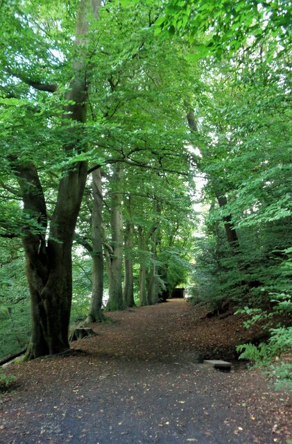
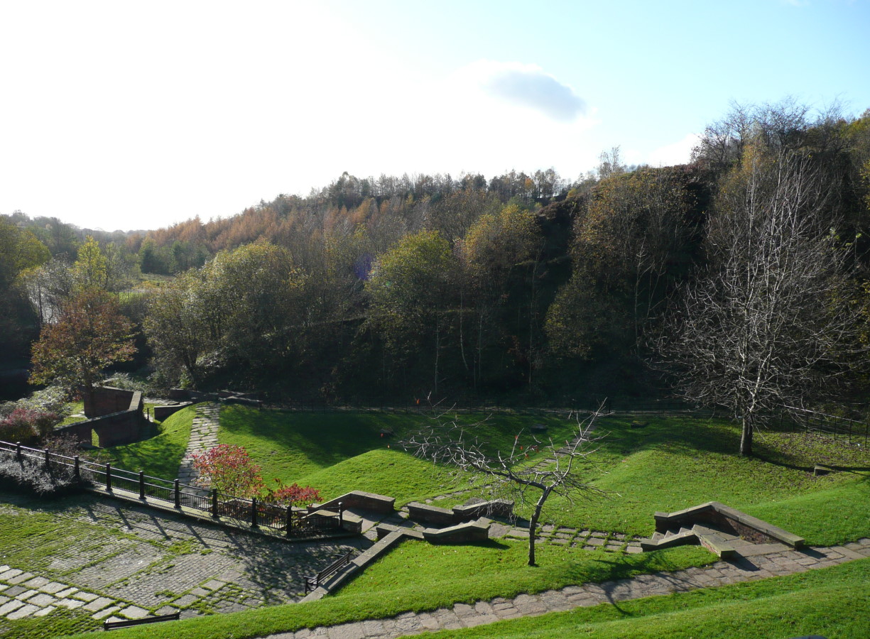
Alt Hill is a small village located in the county of Lancashire, England. Situated in the picturesque Ribble Valley, it boasts a population of around 500 residents. Alt Hill is renowned for its idyllic countryside setting, with rolling hills, meandering streams, and lush green fields dominating the landscape.

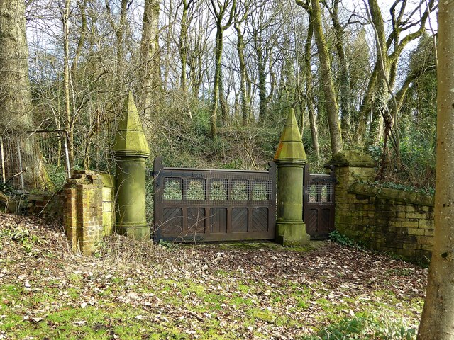
The village itself is characterized by its charming traditional stone houses, many of which date back several centuries. The local community takes great pride in preserving the historic character of the village, and as a result, Alt Hill has managed to retain its authentic rural atmosphere.

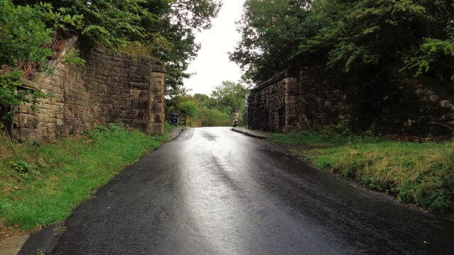
Despite its small size, Alt Hill offers a range of amenities and services to its residents. These include a village hall, a primary school, a post office, and a local pub, which serves as a popular gathering spot for locals and visitors alike. The village also benefits from excellent transport links, with regular bus services connecting it to nearby towns and cities.

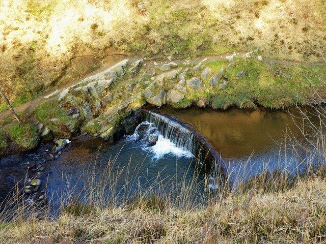
Alt Hill is surrounded by an abundance of natural beauty, making it a haven for outdoor enthusiasts. The nearby Forest of Bowland, an Area of Outstanding Natural Beauty, offers numerous walking and cycling trails, while the River Ribble provides opportunities for fishing and boating.

Overall, Alt Hill is a tranquil and picturesque village that offers a peaceful retreat from the hustle and bustle of city life. With its stunning natural surroundings and close-knit community, it is a place that truly embodies the charm and beauty of rural Lancashire.

If you have any feedback on the listing, please let us know in the comments section below.
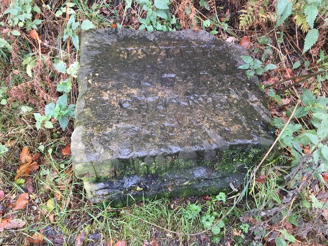
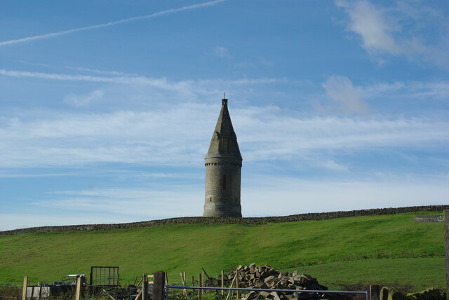
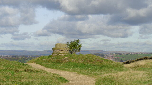
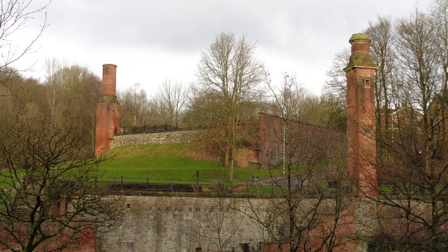
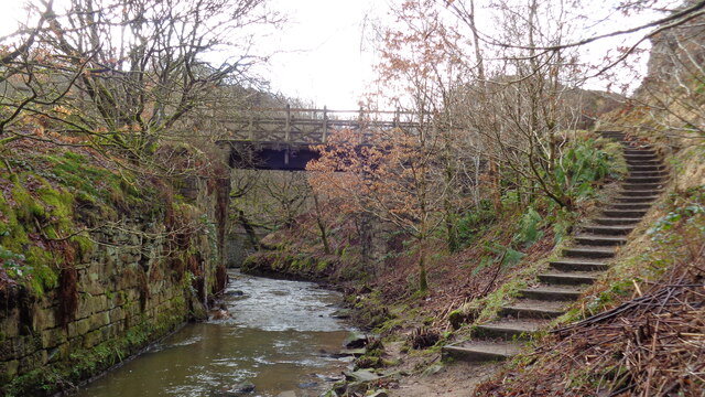
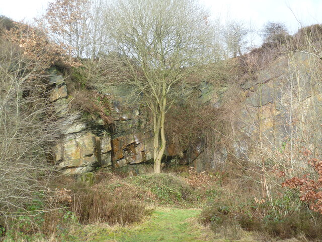
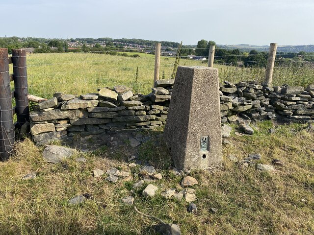
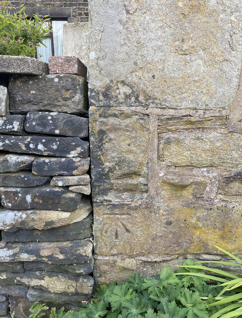
Alt Hill Images

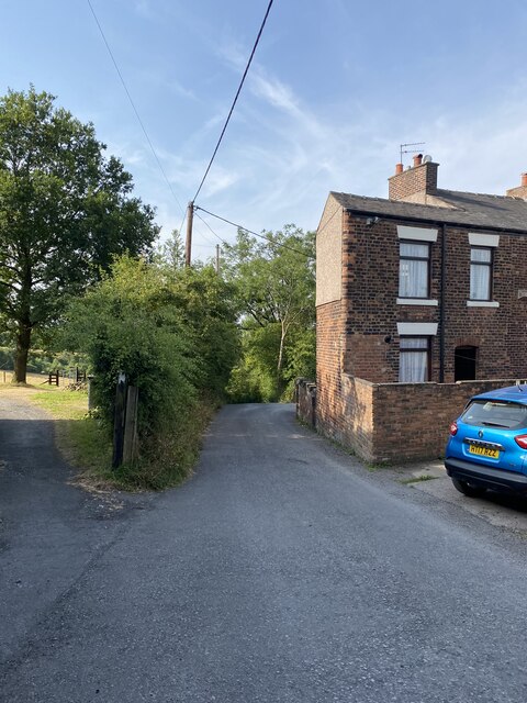
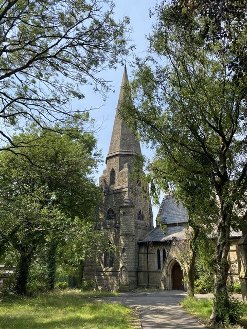
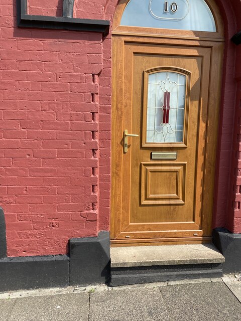
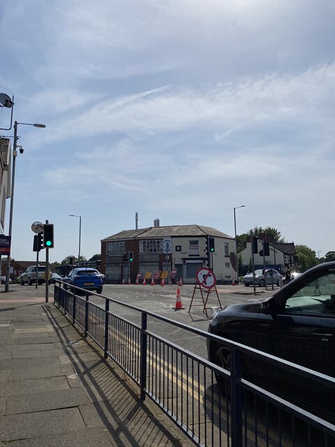
Images are sourced within 2km of 53.514191/-2.085172 or Grid Reference SD9401. Thanks to Geograph Open Source API. All images are credited.

Inscribed stone on the south side of Twirl Hill Road, Hartshead Inscribed stone on the south side of Twirl Hill Road. In the former Ashton under Lyne parish to 1894 and Hartshead parish from 1894 to 1974. This stone is thought to be the collection place for the northern part of the ancient parish of Ashton-under-Lyne and is situated at a place called Twirl Hill between the hamlets of Alt Hill and Hartshead, just below the local viewpoint of Hartshead Pike. The practice of paying tithes was abandoned in the 1830’s. The “Tythe Stone” inscription is thought to have been made by local man John Coulthard in 1840 to ensure its preservation. See also <span class="nowrap"><a title="http://www.marland.org/places/marlandplaces-twarlhill.htm" rel="nofollow ugc noopener" href="http://www.marland.org/places/marlandplaces-twarlhill.htm">Link</a><img style="margin-left:2px;" alt="External link" title="External link - shift click to open in new window" src="https://s1.geograph.org.uk/img/external.png" width="10" height="10"/></span>

Milestone Society National ID: LA_HARTS01cm
Inscribed stone on the south side of Twirl Hill Road, Hartshead
Inscribed stone on the south side of Twirl Hill Road. In the former Ashton under Lyne parish to 1894 and Hartshead parish from 1894 to 1974. This stone is thought to be the collection place for the northern part of the ancient parish of Ashton-under-Lyne and is situated at a place called Twirl Hill between the hamlets of Alt Hill and Hartshead, just below the local viewpoint of Hartshead Pike. The practice of paying tithes was abandoned in the 1830’s. The “Tythe Stone” inscription is thought to have been made by local man John Coulthard in 1840 to ensure its preservation. See also LinkExternal link Milestone Society National ID: LA_HARTS01cm
Hartshead Pike Rebuilt to commemorate the marriage of Edward, Prince of Wales in 1863
Hartshead Pike
Rebuilt to commemorate the marriage of Edward, Prince of Wales in 1863
Hartshead Pike Well Often marked as a well on maps is this the site of the original tower on the summit of the hill?
Hartshead Pike Well
Often marked as a well on maps is this the site of the original tower on the summit of the hill?
Park Bridge Heritage Centre View from Alt Hill Road of the chimneys of the ironworks roller shop to the left and cotton mill to the right
Park Bridge Heritage Centre
View from Alt Hill Road of the chimneys of the ironworks roller shop to the left and cotton mill to the right
Old Tramway Bridge Over the River Medlock at the Park Bridge industrial heritage site
Old Tramway Bridge
Over the River Medlock at the Park Bridge industrial heritage site
Old Quarry On the Park Bridge industrial heritage site
Old Quarry
On the Park Bridge industrial heritage site
The Rock Trig Point Flush Bracket S2786
OS Cut Mark - Park Bridge, Keverlow Farm <span class="nowrap"><a title="https://www.bench-marks.org.uk/bm60764" rel="nofollow ugc noopener" href="https://www.bench-marks.org.uk/bm60764">Link</a><img style="margin-left:2px;" alt="External link" title="External link - shift click to open in new window" src="https://s1.geograph.org.uk/img/external.png" width="10" height="10"/></span>
OS Cut Mark - Park Bridge, Keverlow Farm
Mill Brow
Mill Brow
St John the Evangelist
OS Cut Mark - Ashton-under-Lyne, #10 Hurst Cross <span class="nowrap"><a title="https://www.bench-marks.org.uk/bm91192" rel="nofollow ugc noopener" href="https://www.bench-marks.org.uk/bm91192">Link</a><img style="margin-left:2px;" alt="External link" title="External link - shift click to open in new window" src="https://s1.geograph.org.uk/img/external.png" width="10" height="10"/></span>
OS Cut Mark - Ashton-under-Lyne, #10 Hurst Cross
Location of OS Cut Mark - Ashton-under-Lyne, #10 Hurst Cross
Nook Lane
Nook Lane
Broad Track from Valley Bridge A former carriage drive from the now demolished Riversvale Hall?
Broad Track from Valley Bridge
A former carriage drive from the now demolished Riversvale Hall?
Railway Bridge Abutments On Alt Hill Lane for the former Oldham and Ashton railway route
Railway Bridge Abutments
On Alt Hill Lane for the former Oldham and Ashton railway route
Carriage drive gates to Dean House At Park Bridge
Carriage drive gates to Dean House
At Park Bridge
Weir on River Medlock This had a mill race that served the industrial complex at Park Bridge. The Medlock is in a narrow steep sided valley at this point.
Weir on River Medlock
This had a mill race that served the industrial complex at Park Bridge. The Medlock is in a narrow steep sided valley at this point.
Steps on the Medlock Trail Steps down from the Abbey Hills Road embankment to the River Medlock
Steps on the Medlock Trail
Steps down from the Abbey Hills Road embankment to the River Medlock
Show me another place!

Alt Hill is located at Grid Ref: SD9401 (Lat: 53.514191, Lng: -2.085172)

Unitary Authority: Tameside

Police Authority: Greater Manchester

What 3 Words

///space.heave.wins. Near Ashton-under-Lyne, Manchester

Nearby Locations

Alt Hill Broadoak Clough

Related Wikis

Park Bridge

Park Bridge is an area of Ashton-under-Lyne, in the Metropolitan Borough of Tameside, in Greater Manchester, England. It is situated in the Medlock Valley...

Park Bridge railway station

Park Bridge Railway Station was a railway station on the Oldham, Ashton-under-Lyne and Guide Bridge Junction Railway (OA&GB) that served the village of...

St Damian's Roman Catholic Science College

St Damian's R.C Science College is a coeducational Roman Catholic secondary school located in Ashton-under-Lyne in the English county of Greater Manchester...

Fairbottom Bobs

Fairbottom Bobs is a Newcomen-type beam engine that was used in the 18th century as a pumping engine to drain a colliery near Ashton-under-Lyne. It is...

Nearby Amenities

Located within 500m of 53.514191,-2.085172
Give Way
Direction: forward
Lat/Long: 53.513891/-2.0925934
Power: tower
Lat/Long: 53.512028/-2.0859879
Power: tower
Lat/Long: 53.5116902/-2.090943
Power: tower
Lat/Long: 53.5123948/-2.0803928
Barrier: kissing_gate
Lat/Long: 53.5174985/-2.0900677
Barrier: stile
Bicycle: no
Foot: yes
Material: wood
Stile: stepover
Lat/Long: 53.5174115/-2.0849406
Barrier: stile
Bicycle: no
Foot: yes
Material: wood
Step Count: 1
Stile: stepover
Lat/Long: 53.51704/-2.0825055
Barrier: stile
Bicycle: no
Foot: yes
Material: wood
Step Count: 1
Stile: stepover
Lat/Long: 53.517047/-2.0812995
Information: guidepost
Tourism: information
Lat/Long: 53.5175694/-2.0865864
Power: tower
Lat/Long: 53.5123911/-2.0804786
Power: tower
Lat/Long: 53.5116781/-2.0909527
Power: tower
Lat/Long: 53.5120162/-2.0861032
Barrier: cycle_barrier
Bicycle: dismount
Foot: yes
Horse: yes
Lat/Long: 53.5171135/-2.0899052
Barrier: cycle_barrier
Bicycle: dismount
Foot: yes
Horse: yes
Lat/Long: 53.5171212/-2.0897583
Generator Method: photovoltaic
Generator Output Electricity: yes
Generator Source: solar
Generator Type: solar_photovoltaic_panel
Location: roof
Power: generator
Lat/Long: 53.5118185/-2.0787983
Generator Method: photovoltaic
Generator Output Electricity: yes
Generator Source: solar
Generator Type: solar_photovoltaic_panel
Location: roof
Power: generator
Lat/Long: 53.5109301/-2.0810353
Generator Method: photovoltaic
Generator Output Electricity: yes
Generator Source: solar
Generator Type: solar_photovoltaic_panel
Location: roof
Power: generator
Lat/Long: 53.5112459/-2.0811479
Generator Method: photovoltaic
Generator Output Electricity: yes
Generator Source: solar
Generator Type: solar_photovoltaic_panel
Location: roof
Power: generator
Lat/Long: 53.51108/-2.0818346
Power: pole
Lat/Long: 53.5159147/-2.0784789
Power: pole
Lat/Long: 53.5160171/-2.0797882
Power: pole
Lat/Long: 53.5161201/-2.0812353
Line Management: branch
Material: wood
Power: pole
Lat/Long: 53.5157107/-2.0826191
Material: wood
Power: pole
Lat/Long: 53.5153123/-2.0839759
Material: wood
Power: pole
Lat/Long: 53.5148709/-2.0854464
Material: wood
Power: pole
Lat/Long: 53.5145892/-2.0864112
Material: wood
Power: pole
Lat/Long: 53.5142173/-2.0877006
Material: wood
Power: pole
Lat/Long: 53.5138664/-2.0888945
Power: pole
Lat/Long: 53.5135147/-2.0901192
Line Management: transition
Material: wood
Power: pole
Transformer: distribution
Voltage Primary: 6600
Voltage Secondary: 415
Lat/Long: 53.5150457/-2.0830363
Bench
Lat/Long: 53.5155068/-2.0811067
The data included in this document is from www.openstreetmap.org. The data is made available under ODbL.

Have you been to Alt Hill?

Leave your review of Alt Hill below (or comments, questions and feedback).