Alswear

Settlement in Devon North Devon

England

Alswear

Mariansleigh: River Mole at Alswear Three parishes meet here: beyond the bend the river runs into King’s Nympton and the right bank is in Queen’s Nympton
Mariansleigh: River Mole at Alswear Credit: Martin Bodman

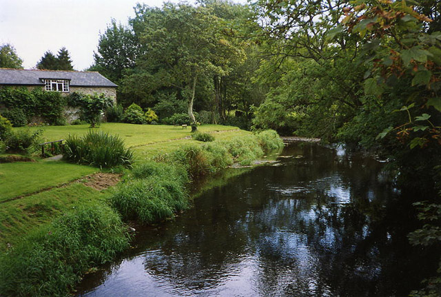
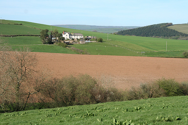
Alswear is a small village located in the county of Devon, England. Situated in the North Devon district, it is nestled in the picturesque countryside, surrounded by rolling hills and meandering rivers. The village is part of the civil parish of Meshaw and lies approximately 7 miles northeast of the town of South Molton.

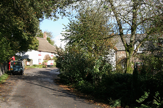
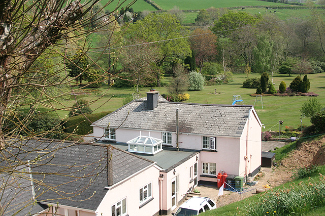
With a population of just over 100 residents, Alswear offers a peaceful and tranquil setting away from the hustle and bustle of city life. The village is characterized by its charming thatched cottages, many of which date back several centuries, adding to its historic appeal. The local community is tight-knit and friendly, with a strong sense of community spirit.

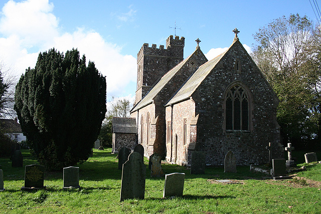
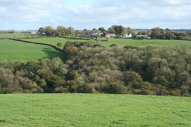
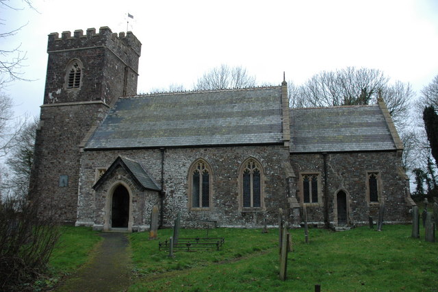
Alswear is primarily an agricultural village, with farming playing a significant role in the local economy. The surrounding farmland is used for grazing livestock and growing crops, contributing to the area's rural charm. The village is also home to a small church, St. Peter's, which dates back to the 13th century and serves as a place of worship for both locals and visitors.

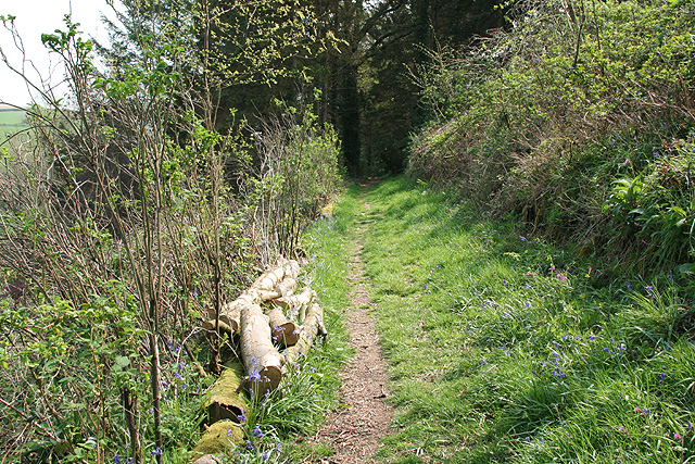
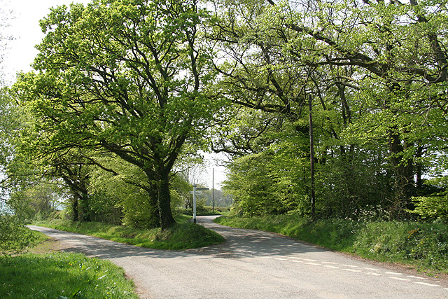
While Alswear may be a small village, it offers easy access to the larger towns and cities in the area. South Molton, with its range of amenities including shops, schools, and healthcare facilities, is just a short drive away. The village's idyllic location also provides ample opportunities for outdoor pursuits such as walking, cycling, and fishing, making it a popular destination for nature lovers and those seeking a peaceful retreat.

If you have any feedback on the listing, please let us know in the comments section below.
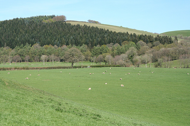
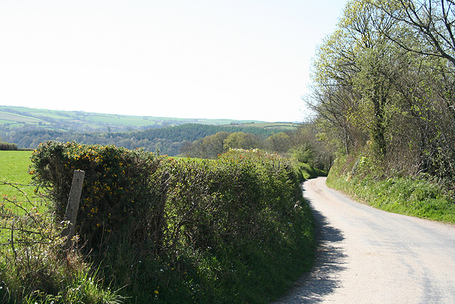
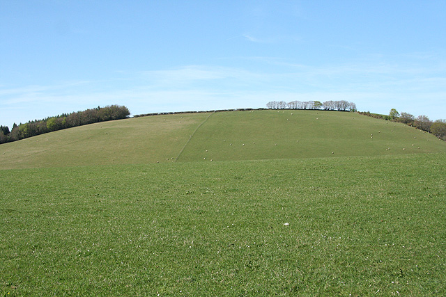
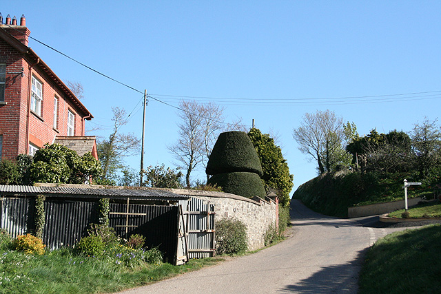
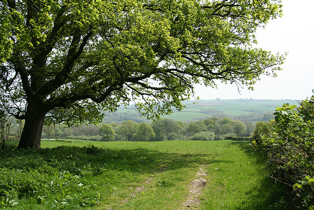
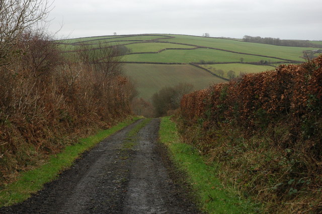
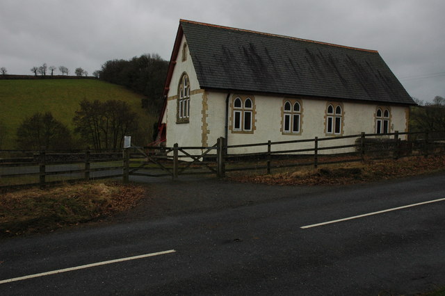
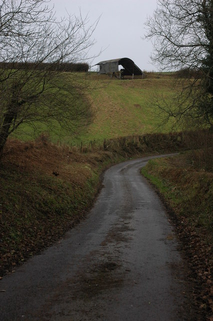
Alswear Images

Images are sourced within 2km of 50.98523/-3.8196 or Grid Reference SS7222. Thanks to Geograph Open Source API. All images are credited.

Mariansleigh: River Mole at Alswear Three parishes meet here: beyond the bend the river runs into King’s Nympton and the right bank is in Queen’s Nympton
Mariansleigh: River Mole at Alswear
Three parishes meet here: beyond the bend the river runs into King’s Nympton and the right bank is in Queen’s Nympton
Romansleigh: the village Looking north east with the entrance to the church beyond the phone box and Land Rover. Honeysuckle Cottage is on the left, past the church gate, and Glebe Cottage on the right
Romansleigh: the village
Looking north east with the entrance to the church beyond the phone box and Land Rover. Honeysuckle Cottage is on the left, past the church gate, and Glebe Cottage on the right
Romansleigh: St Rumon’s church The church was rebuilt in 1868 but is dedicated to a Celtic saint. Looking west
Romansleigh: St Rumon’s church
The church was rebuilt in 1868 but is dedicated to a Celtic saint. Looking west
King’s Nympton: towards Romansleigh Romansleigh is a small village – almost a hamlet – on a hill beyond this square. St Rumon’s church stands amongst trees. Looking east-south-east
King’s Nympton: towards Romansleigh
Romansleigh is a small village – almost a hamlet – on a hill beyond this square. St Rumon’s church stands amongst trees. Looking east-south-east
George Nympton: Mole valley Looking north east across the Mole flood plain towards Blastridge Plantation, which stands beyond the square
George Nympton: Mole valley
Looking north east across the Mole flood plain towards Blastridge Plantation, which stands beyond the square
Mariansleigh: lane to Alswear Looking west-north-west
Mariansleigh: lane to Alswear
Looking west-north-west
Bishop’s Nympton: towards Blastridge Hill View from Radley Cross looking north. The hill is beyond the square
Bishop’s Nympton: towards Blastridge Hill
View from Radley Cross looking north. The hill is beyond the square
George Nympton: Cheyney The house stands on the parish boundary with Queen’s Nympton. The lane ahead runs to Alswear. Turn right for George Nympton village. Looking south-south-east
George Nympton: Cheyney
The house stands on the parish boundary with Queen’s Nympton. The lane ahead runs to Alswear. Turn right for George Nympton village. Looking south-south-east
Queen’s Nympton: towards Little Frenchstone Looking north-north-east. Two small valleys intervene between the camera and the farm which is beyond the square
Queen’s Nympton: towards Little Frenchstone
Looking north-north-east. Two small valleys intervene between the camera and the farm which is beyond the square
King’s Nympton: overlooking New Mill New Mill, now a private house, seen from a public footpath on its boundary. This was the lowest watermill on the Little Silver Stream, a tributary of the Mole. Looking east-south-east
King’s Nympton: overlooking New Mill
New Mill, now a private house, seen from a public footpath on its boundary. This was the lowest watermill on the Little Silver Stream, a tributary of the Mole. Looking east-south-east
King’s Nympton: footpath above New Mill The path runs up the Little Silver valley to Kempstown and Romansleigh. Looking south east
King’s Nympton: footpath above New Mill
The path runs up the Little Silver valley to Kempstown and Romansleigh. Looking south east
King’s Nympton: Highridge Cross A junction rather than a crossroads. Looking west
King’s Nympton: Highridge Cross
A junction rather than a crossroads. Looking west
King’s Nympton: by Highridge Cross Looking south east towards Highridge Wood with an oak tree in new leaf
King’s Nympton: by Highridge Cross
Looking south east towards Highridge Wood with an oak tree in new leaf
Oxham Lane, Romansleigh Oxham Lane is a track from the village of Romansleigh to the valley through which the poetically named Little Silver Stream flows. Across the valley the pattern of fields to the south of Westacott Farm can be seen on the hillside.
Oxham Lane, Romansleigh
Oxham Lane is a track from the village of Romansleigh to the valley through which the poetically named Little Silver Stream flows. Across the valley the pattern of fields to the south of Westacott Farm can be seen on the hillside.
Parish Hall, near Mariansleigh Hall on the side of the B3137 in the valley between Romansleigh and Mariansleigh.
Parish Hall, near Mariansleigh
Hall on the side of the B3137 in the valley between Romansleigh and Mariansleigh.
Barn near Mariansleigh Barn in a field above Middle Wood to the west of Mariansleigh.
Barn near Mariansleigh
Barn in a field above Middle Wood to the west of Mariansleigh.
Romansleigh Church Romansleigh church is dedicated to St Rumon, the building is in a Perpendicular style and was rebuilt in 1868 from designs by E. Ashworth, an architect from Exeter. The tower was rebuilt in 1885-7.
Romansleigh Church
Romansleigh church is dedicated to St Rumon, the building is in a Perpendicular style and was rebuilt in 1868 from designs by E. Ashworth, an architect from Exeter. The tower was rebuilt in 1885-7.
Farmland near Highridge Looking west from the gateway at the very corner of this square.
Farmland near Highridge
Looking west from the gateway at the very corner of this square.
Show me another place!

Alswear is located at Grid Ref: SS7222 (Lat: 50.98523, Lng: -3.8196)

Administrative County: Devon

District: North Devon

Police Authority: Devon and Cornwall

What 3 Words

///waving.term.prettiest. Near South Molton, Devon

Nearby Locations

Alswear

Related Wikis

Alswear

Alswear is a village in Devon, England, approximately 25 miles (40 km) northwest of Exeter. == References == == External links == Media related to Alswear...

Queen's Nympton

Queen's Nympton or Queensnympton is a small civil parish in the North Devon district of Devon, England. According to the 2001 census it had a population...

Romansleigh

Romansleigh is a village and civil parish in the North Devon district of Devon, England. It is surrounded clockwise from the north by the parishes of Mariansleigh...

George Nympton

George Nympton or Nymet St George is a small village and civil parish in North Devon district, Devon, England. In the 2011 census it was recorded as having...

Mariansleigh

Mariansleigh is a village and civil parish in Devon, England. In 2021 the parish had a population of 170. == External links == GENUKI Mariansleigh Page

South Molton Community College

South Molton Community College (known to students and teachers as SMCC) is a coeducational foundation secondary school located in South Molton in the English...

Pannier Market, South Molton

South Molton Pannier Market is the pannier market for the town of South Molton in Devon, England located behind the town's Grade I listed Guildhall which...

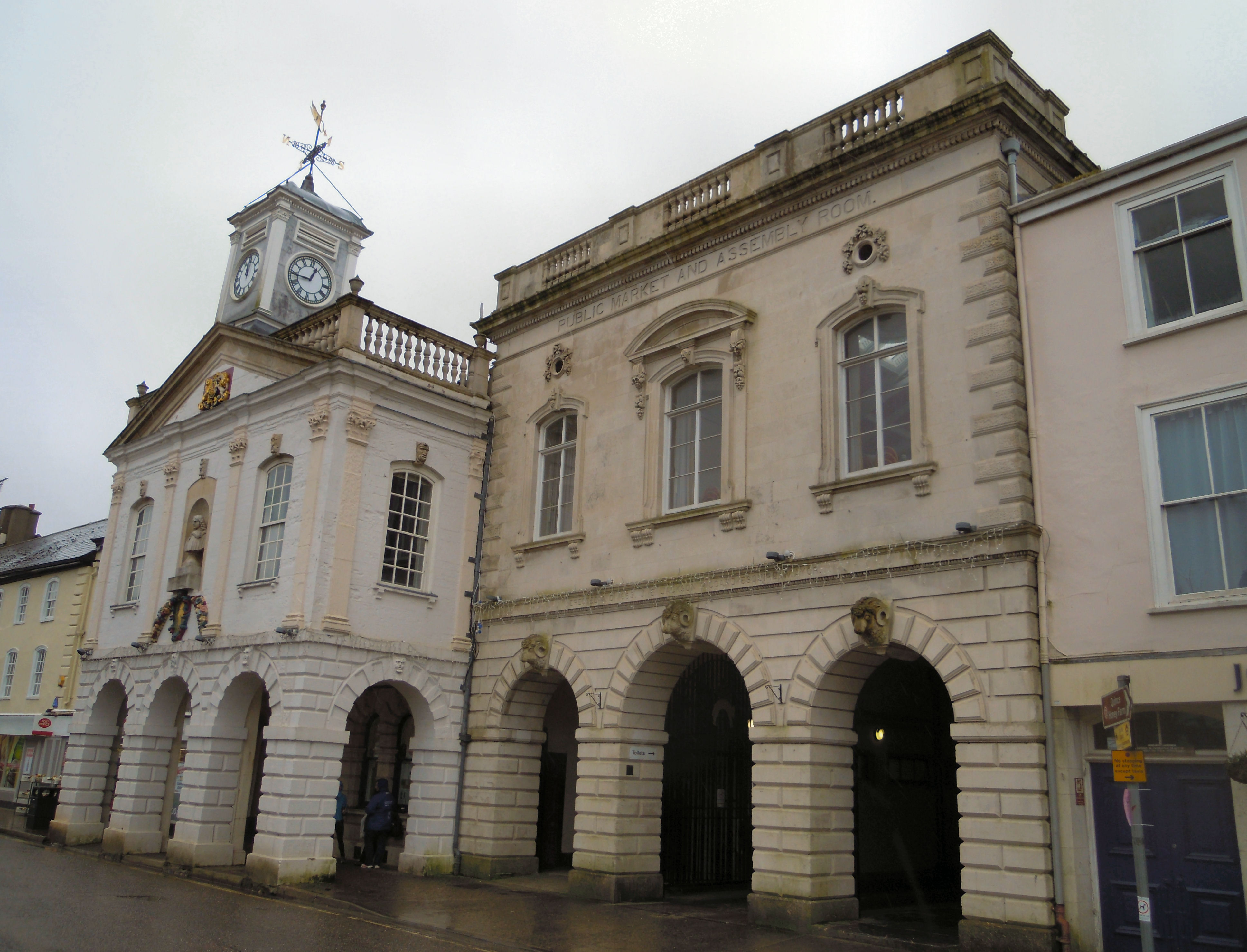
Guildhall, South Molton

The Guildhall on Broad Street in South Molton in Devon was built between 1739 and 1743 and has been a Grade I listed building on the Register of Historic...

Related Videos

Elm Lodge at Romansligh Retreat, Devon - Hot Tub Lodge

We stayed at ROMANSLEIGH Retreat durning NYE and it was so peaceful. Rained constantly for the most part but the holiday ...

Hot tub at Elm Lodge at Romansleigh Retreat - Devon

Hot tub at Elm Lodge on the secluded park at Romansleigh Retreat in Devon, more clips of the lodge and park to follow - Sounds ...

Nearby Amenities

Located within 500m of 50.98523,-3.8196
Alswear
Place: village
Lat/Long: 50.9842636/-3.8177713
Addr City: Alswear
Addr Housename: Sunnymeade
Lat/Long: 50.982859/-3.815391
Addr City: Alswear
Addr Housename: Hobby Horse Farm
Lat/Long: 50.9859051/-3.8136744
Post Box
Operator: Royal Mail
Post Box Type: lamp
Ref: EX36 134D
Royal Cypher: EIIR
Royal Cypher Wikidata: Q33102113
Lat/Long: 50.9846947/-3.8180176
Generator Method: photovoltaic
Generator Output Electricity: yes
Generator Source: solar
Generator Type: solar_photovoltaic_panel
Location: roof
Power: generator
Lat/Long: 50.9860086/-3.8142608
Generator Method: photovoltaic
Generator Output Electricity: yes
Generator Source: solar
Generator Type: solar_photovoltaic_panel
Location: roof
Power: generator
Lat/Long: 50.9838515/-3.8179569
Generator Method: photovoltaic
Generator Output Electricity: yes
Generator Source: solar
Generator Type: solar_photovoltaic_panel
Location: roof
Power: generator
Lat/Long: 50.983719/-3.817222
Power: pole
Source: bing
Lat/Long: 50.9830435/-3.8153015
Power: pole
Source: bing
Lat/Long: 50.982884/-3.8138545
Power: pole
Source: bing
Lat/Long: 50.9831508/-3.8163851
Power: pole
Source: bing
Lat/Long: 50.9833078/-3.8177758
Power: pole
Source: bing
Lat/Long: 50.9834758/-3.8194013
Power: pole
Source: bing
Transformer: distribution
Lat/Long: 50.9834159/-3.8205211
Power: pole
Source: bing
Lat/Long: 50.9844121/-3.8137525
Power: pole
Source: bing
Lat/Long: 50.9851373/-3.8146417
Power: pole
Source: bing
Lat/Long: 50.9855578/-3.8156623
Power: pole
Source: bing
Lat/Long: 50.9859875/-3.816715
Power: pole
Source: bing
Lat/Long: 50.9863708/-3.8176283
Power: pole
Source: bing
Lat/Long: 50.9867/-3.8184276
Power: pole
Source: bing
Lat/Long: 50.9871289/-3.8194777
Power: pole
Source: bing
Transformer: distribution
Lat/Long: 50.9875189/-3.8203843
Power: pole
Source: bing
Lat/Long: 50.9880964/-3.8209368
Power: pole
Source: bing
Lat/Long: 50.9885742/-3.821362
Power: pole
Source: bing
Lat/Long: 50.989339/-3.8220513
Power: pole
Source: bing
Transformer: distribution
Lat/Long: 50.988398/-3.8229231
Power: pole
Source: bing
Transformer: distribution
Lat/Long: 50.9860426/-3.8145641
Defibrillator
Booth: K6
Covered: booth
Defibrillator Location: inside old red phone box in Alswear
Disused Amenity: telephone
Emergency: defibrillator
Man Made: telephone_box
Lat/Long: 50.9843758/-3.8180709
The data included in this document is from www.openstreetmap.org. The data is made available under ODbL.

Have you been to Alswear?

Leave your review of Alswear below (or comments, questions and feedback).