Carlesmoor

Settlement in Yorkshire Harrogate

England

Carlesmoor

Kirk Bank Country lane that runs west from Kirkby Malzeard towards the moor edge. The lane is mostly straight, as are the field boundaries to either side, suggesting a 19thC enclosure road.
Kirk Bank Credit: Gordon Hatton

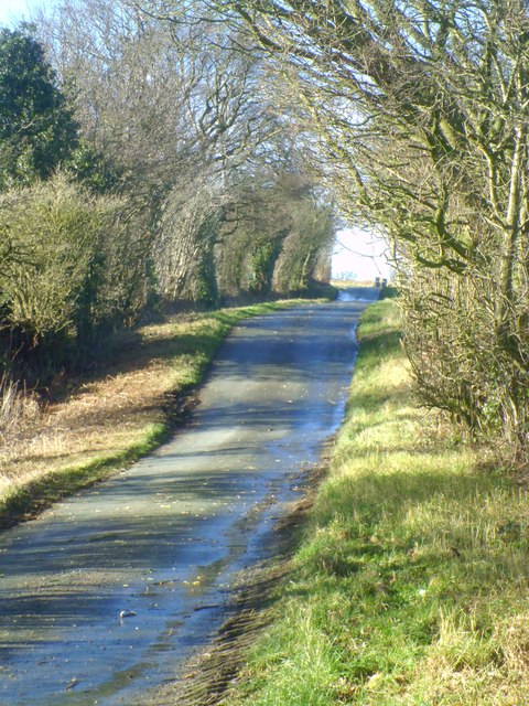
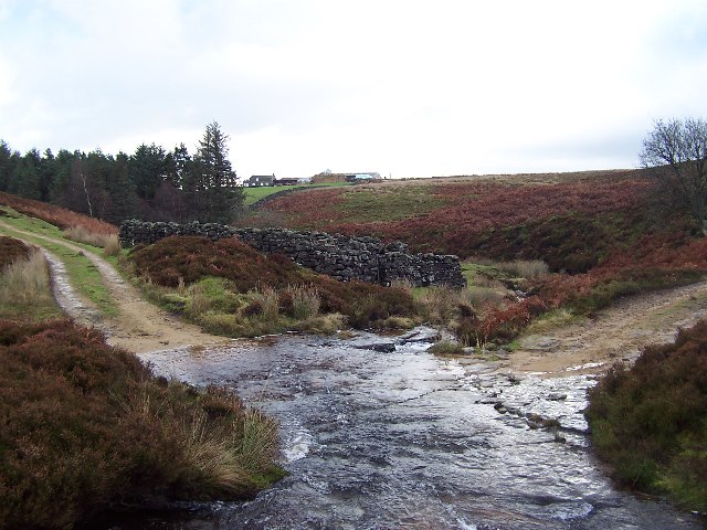
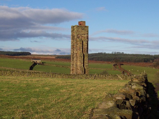
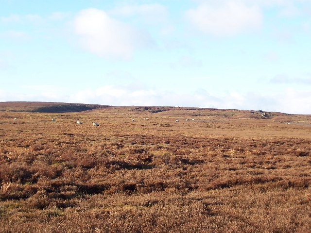
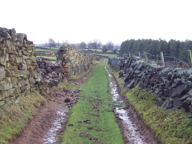
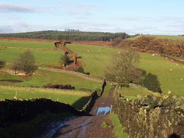
Carlesmoor is a small village located in the county of Yorkshire, in the northern part of England. Situated in the picturesque Yorkshire Dales National Park, it is surrounded by rolling hills, lush green meadows, and charming countryside landscapes.

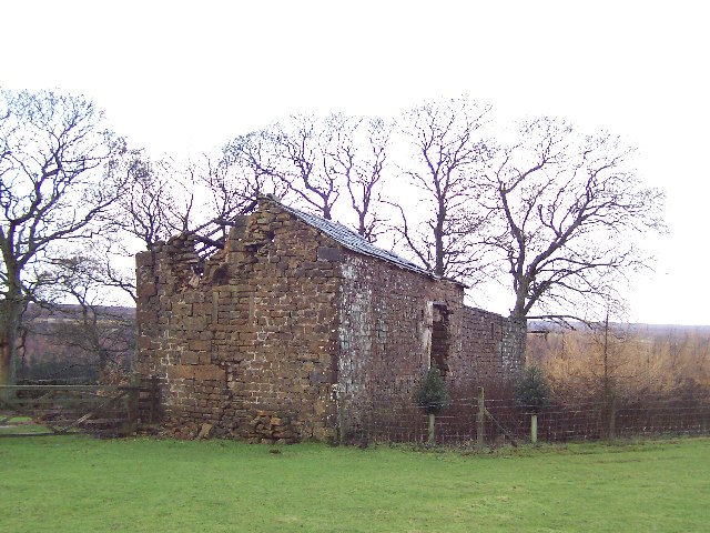
With a population of around 500 residents, Carlesmoor is a close-knit community known for its tranquility and natural beauty. The village is characterized by its traditional stone-built houses and cottages, which add to its rustic charm. The local economy is primarily based on agriculture, with farming being a prominent occupation for many inhabitants.

Carlesmoor offers a range of amenities to cater to its residents' basic needs. It has a small convenience store that provides essential groceries and household items. The village also has a primary school, which serves as an educational hub for the local children. Additionally, there is a village hall that hosts various community events and gatherings throughout the year, fostering a sense of community spirit among the residents.

Nature lovers and outdoor enthusiasts are drawn to Carlesmoor due to its proximity to the scenic Yorkshire Dales. The area is renowned for its breathtaking walking trails, offering stunning views of the surrounding countryside and opportunities for exploring the diverse flora and fauna.

Overall, Carlesmoor is a picturesque village nestled in the heart of Yorkshire, providing a peaceful retreat for those seeking a slower pace of life and a connection with nature.

If you have any feedback on the listing, please let us know in the comments section below.
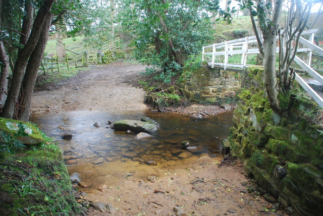
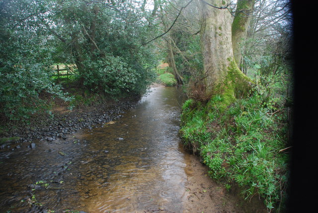
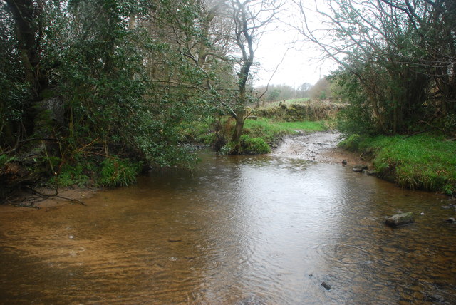
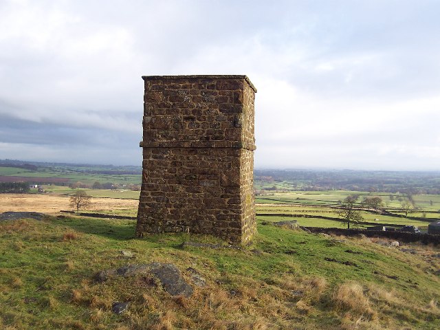
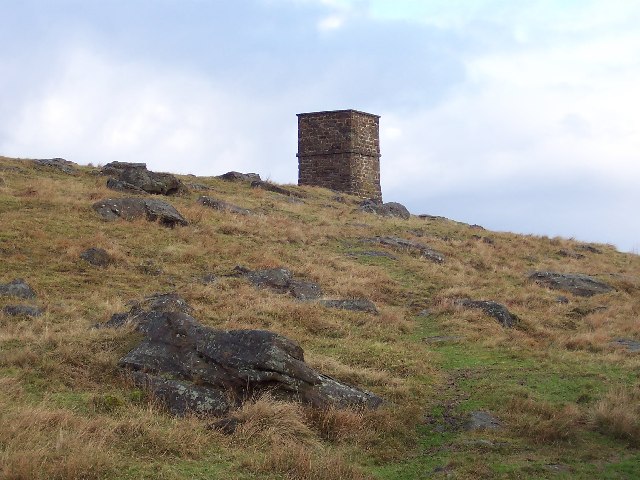
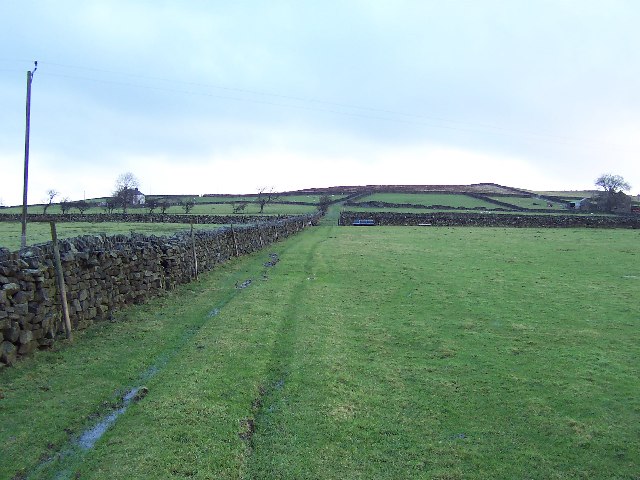
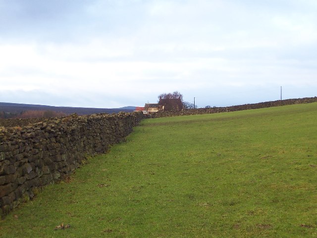
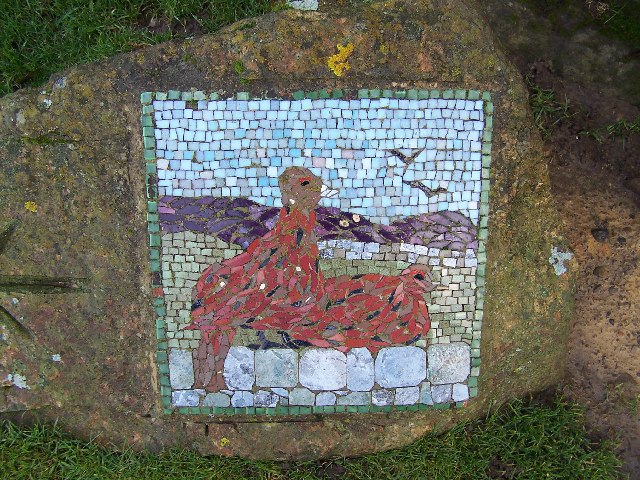
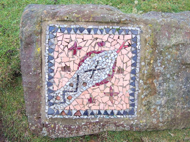
Carlesmoor Images

Images are sourced within 2km of 54.157233/-1.707483 or Grid Reference SE1973. Thanks to Geograph Open Source API. All images are credited.

Kirk Bank Country lane that runs west from Kirkby Malzeard towards the moor edge. The lane is mostly straight, as are the field boundaries to either side, suggesting a 19thC enclosure road.
Kirk Bank
Country lane that runs west from Kirkby Malzeard towards the moor edge. The lane is mostly straight, as are the field boundaries to either side, suggesting a 19thC enclosure road.
Ford at Belford This ford on the River Laver is found on Belford Lane, a byway leading to Hedge Nook.
Ford at Belford
This ford on the River Laver is found on Belford Lane, a byway leading to Hedge Nook.
Ford at Hedge Nook This ford is found on Aresmor Beck on a byway called Appleby Lane at Hedge Nook.
Ford at Hedge Nook
This ford is found on Aresmor Beck on a byway called Appleby Lane at Hedge Nook.
Ford at Hedge Nook This ford is found on Aresmor Beck along Drift Lane at Hedge Nook.
Ford at Hedge Nook
This ford is found on Aresmor Beck along Drift Lane at Hedge Nook.
Greygarth Monument Erected to celebrate Queen Victoria's Diamond Jubilee in 1897.  This spot affords tremendous views on a clear day, particularly to the east, over the Vale of York to the White Horse of Kilburn and the North York Moors.
Greygarth Monument
Erected to celebrate Queen Victoria's Diamond Jubilee in 1897. This spot affords tremendous views on a clear day, particularly to the east, over the Vale of York to the White Horse of Kilburn and the North York Moors.
Approach to Greygarth Monument There is a right of way over Greygarth Hill to reach the monument from the west.
Approach to Greygarth Monument
There is a right of way over Greygarth Hill to reach the monument from the west.
Green Lane leading away from Dallowgill to Greygarth Pleasant preamble through upland pastures near Greygarth.
Green Lane leading away from Dallowgill to Greygarth
Pleasant preamble through upland pastures near Greygarth.
Approaching Bents House Crossing upland pastures from the east, above the valley of Dallowgill to reach the farm known as Bents House
Approaching Bents House
Crossing upland pastures from the east, above the valley of Dallowgill to reach the farm known as Bents House
Ford over Carlesmoor Beck This track fords Carlesmoor Beck on Hawsett Riggs, just below the confluence of Fortress Dyke and Wandley Gill.
Ford over Carlesmoor Beck
This track fords Carlesmoor Beck on Hawsett Riggs, just below the confluence of Fortress Dyke and Wandley Gill.
Sighting Tower, near Carlesmoor Whatever the purpose of this structure it appears abandoned now, and falling into disrepair. See Colsterdale towers on Wikipedia <span class="nowrap"><a title="http://en.wikipedia.org/wiki/Colsterdale_towers" rel="nofollow ugc noopener" href="http://en.wikipedia.org/wiki/Colsterdale_towers">Link</a><img style="margin-left:2px;" alt="External link" title="External link - shift click to open in new window" src="https://s1.geograph.org.uk/img/external.png" width="10" height="10"/></span>
Sighting Tower, near Carlesmoor
Whatever the purpose of this structure it appears abandoned now, and falling into disrepair. See Colsterdale towers on Wikipedia LinkExternal link
Wolf Crags and Stock Beck Moor The edge of Kirkby Malzeard Moor, which is itself part of a huge swathe of moorland between Nidderdale and Wensleydale.
Wolf Crags and Stock Beck Moor
The edge of Kirkby Malzeard Moor, which is itself part of a huge swathe of moorland between Nidderdale and Wensleydale.
Approaching Newlands Wood A plantation seen from the south on the edge of Stock Beck Moor
Approaching Newlands Wood
A plantation seen from the south on the edge of Stock Beck Moor
Newlands House Just on the north edge of Newlands Wood.  The map marks this as Newlands House, but the sign at the head of the access lane announces this as Newlands Farm
Newlands House
Just on the north edge of Newlands Wood. The map marks this as Newlands House, but the sign at the head of the access lane announces this as Newlands Farm
Abandoned Farm Buildings, Dallowgill Close to Bents House, and above the wooded cleft of Dallowgill.
Abandoned Farm Buildings, Dallowgill
Close to Bents House, and above the wooded cleft of Dallowgill.
Mosaic on Hawset Rigg Another masterpiece around Dallowgill.  This one has an arrow indicator.
Mosaic on Hawset Rigg
Another masterpiece around Dallowgill. This one has an arrow indicator.
Mosaic on edge of Kirkby Malzeard Moor I must have seen about 10 of these works of art during a walk around Dallowgill.  This one is at the point where the green lane west of Carlesmoor House Farm enters Kirkby Malzeard Moor.
Mosaic on edge of Kirkby Malzeard Moor
I must have seen about 10 of these works of art during a walk around Dallowgill. This one is at the point where the green lane west of Carlesmoor House Farm enters Kirkby Malzeard Moor.
Green Lane near Carlesmoor House Farm Looking east, walking from Kirkby Malzeard Moor towards Carlesmoor
Green Lane near Carlesmoor House Farm
Looking east, walking from Kirkby Malzeard Moor towards Carlesmoor
Green Lane from Carlesmoor to Newlands Excellent example of a green lane. This one is heading north from Carlesmoor to Newlands Plantation
Green Lane from Carlesmoor to Newlands
Excellent example of a green lane. This one is heading north from Carlesmoor to Newlands Plantation
Show me another place!

Carlesmoor is located at Grid Ref: SE1973 (Lat: 54.157233, Lng: -1.707483)

Division: West Riding

Administrative County: North Yorkshire

District: Harrogate

Police Authority: North Yorkshire

What 3 Words

///gala.pigs.revamping. Near Masham, North Yorkshire

Related Wikis

Dallowgill

Dallowgill (historically also Dallaghill) is a village in Harrogate district in North Yorkshire, England. It consists of a number of scattered settlements...

Laverton, North Yorkshire

Laverton is a village and civil parish in the Harrogate district of North Yorkshire, England, about 7 miles (11 km) west of Ripon. The population of this...

Kirkby Malzeard

Kirkby Malzeard () is a village and civil parish in the Harrogate district of North Yorkshire, England. There has been a creamery in the village making...

Grewelthorpe

Grewelthorpe is a village and civil parish in the Harrogate district of North Yorkshire, England situated 3 miles (5 km) south of Masham and 6.2 miles...

Ilton, North Yorkshire

Ilton is a village in North Yorkshire, England, 3 miles south-west of Masham. It is the principal settlement in the civil parish of Ilton cum Pott, in...

Swinton with Warthermarske

Swinton with Warthermarske is a civil parish in Harrogate district, North Yorkshire, England. The parish includes the village of Swinton and the hamlets...

Grantley, North Yorkshire

Grantley is a village (also known as High Grantley) and civil parish in North Yorkshire, England. It lies 5 miles (8 km) west of Ripon. The parish also...

Roundhill Reservoir

Roundhill Reservoir is situated near Leighton Reservoir in North Yorkshire, England. It was constructed by Harrogate Corporation early in the 20th century...

Nearby Amenities

Located within 500m of 54.157233,-1.707483
Swetton
Is In: UK,Yorkshire,North Yorkshire,Nidderdale
Is In Country: UK
Is In County: North Yorkshire
Is In Historical County: Yorkshire
Place: hamlet
Source: NPE
Lat/Long: 54.1541859/-1.7034509
Building: yes
Lat/Long: 54.154845/-1.7119239
Place: farm
Lat/Long: 54.1542418/-1.7108725
Carlesmoor House Farm
Place: isolated_dwelling
Lat/Long: 54.157446/-1.7122243
Low Farm
Place: isolated_dwelling
Lat/Long: 54.1574195/-1.7044019
Place: farm
Lat/Long: 54.155624/-1.7032335
Carlesmoor Sighting Tower
Description: triangulation column
Man Made: tower
Tower Construction: freestanding
Tower Type: survey
Lat/Long: 54.1588171/-1.7031467
Place: farm
Lat/Long: 54.1552121/-1.7046621
The data included in this document is from www.openstreetmap.org. The data is made available under ODbL.

Have you been to Carlesmoor?

Leave your review of Carlesmoor below (or comments, questions and feedback).