Carlenrig
Settlement in Roxburghshire
Scotland
Carlenrig

The requested URL returned error: 429 Too Many Requests
If you have any feedback on the listing, please let us know in the comments section below.
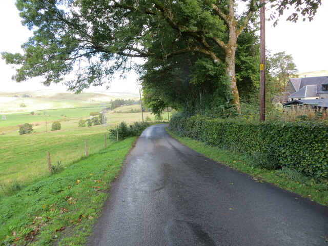
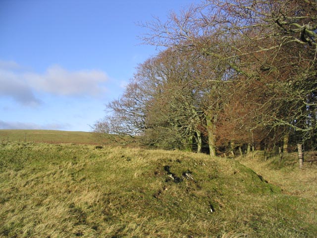
Carlenrig Images
Images are sourced within 2km of 55.32626/-2.9629458 or Grid Reference NT3904. Thanks to Geograph Open Source API. All images are credited.


Carlenrig is located at Grid Ref: NT3904 (Lat: 55.32626, Lng: -2.9629458)
Unitary Authority: The Scottish Borders
Police Authority: The Lothians and Scottish Borders
What 3 Words
///worlds.cropping.exact. Near Teviothead, Scottish Borders
Nearby Locations
Related Wikis

River Teviot
The River Teviot (; Scottish Gaelic: Abhainn Tìbhiot), or Teviot Water, is a river of the Scottish Borders area of Scotland, and is the largest tributary...

Caerlanrig
Caerlanrig - also spelled 'Carlenrig' - (Gaelic: Cathair Lannraig) is a hamlet in the parish of Cavers, Borders, Scotland, lying on the River Teviot, 6...

Teviothead
Teviothead (Scottish Gaelic: Ceann Tìbhiot) is a small village and civil parish in Teviotdale in the Scottish Borders, known locally as Teviotheid. It...
Falnash
Falnash (Scots: Fawenesh) is a village in the Scottish Borders of Scotland. It is near Teviothead, in the former Roxburghshire, and in the parish of Teviothead...
Nearby Amenities
Located within 500m of 55.32626,-2.9629458Have you been to Carlenrig?
Leave your review of Carlenrig below (or comments, questions and feedback).