Carleton

Settlement in Cumberland Copeland

England

Carleton

B5345 at Kersey Bridge
B5345 at Kersey Bridge Credit: Colin Pyle

Carleton, Cumberland is a small village located in the county of Cumbria, England. Situated in the northwestern part of the country, Carleton is nestled in the picturesque countryside, surrounded by rolling hills and lush green fields. It is part of the larger district of Allerdale and falls within the civil parish of Holme St Cuthbert.

With a population of around 300 residents, Carleton exudes a peaceful and close-knit community atmosphere. The village is characterized by its quaint and well-preserved traditional English architecture, which includes charming stone cottages and a historic church dating back to the 12th century. The tranquil setting of Carleton makes it an ideal destination for those seeking a serene and idyllic retreat away from the hustle and bustle of city life.

Despite its small size, Carleton offers a range of amenities to its residents and visitors. These include a local primary school, a village hall, and a pub, where locals often gather to socialize and unwind. The village is also surrounded by stunning natural beauty and offers numerous opportunities for outdoor activities such as hiking, cycling, and fishing.

Carleton's proximity to the larger town of Carlisle, just a short distance to the north, provides easy access to a wider range of services, including shopping centers, healthcare facilities, and educational institutions. Overall, Carleton, Cumberland offers a peaceful and picturesque retreat in the heart of the English countryside, combining a rich history with the tranquility of rural living.

If you have any feedback on the listing, please let us know in the comments section below.
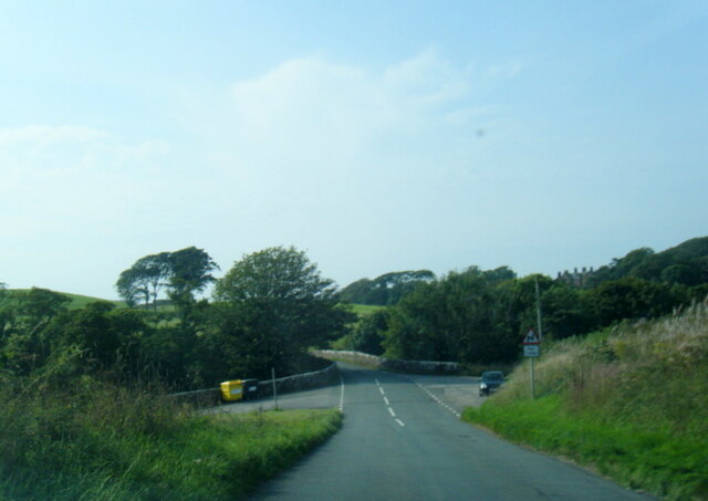
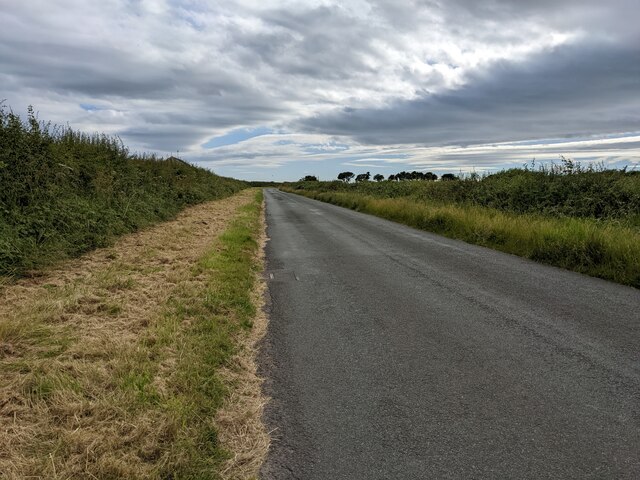
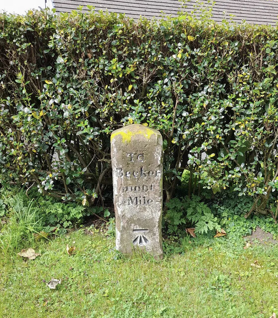
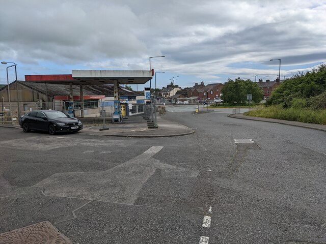
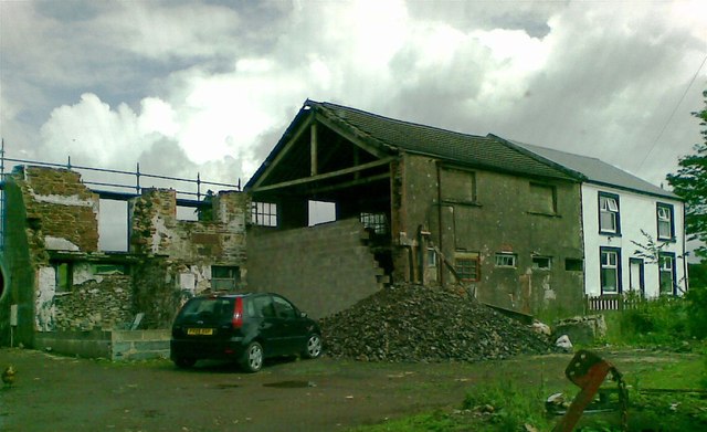
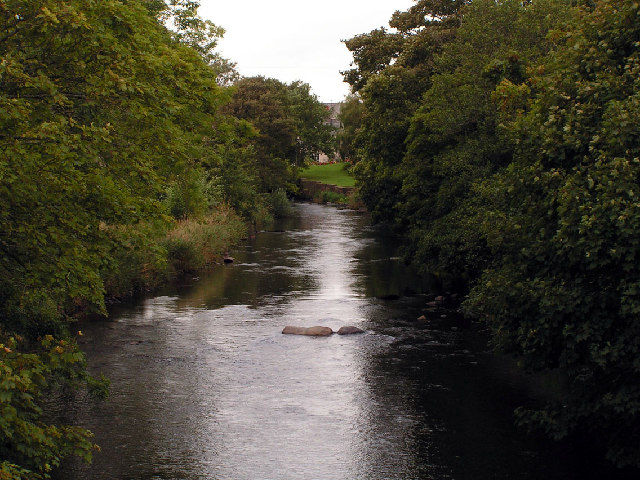
Carleton Images

Images are sourced within 2km of 54.470823/-3.515572 or Grid Reference NY0109. Thanks to Geograph Open Source API. All images are credited.

B5345 at Kersey Bridge
Looking southwest on the road towards Middletown
Farmstead in Haile village Vernacular farm building and farmhouse
Farmstead in Haile village
Vernacular farm building and farmhouse
Field next to Carletonmoor Woods Gateway entering field next to Carletonmoor Woods
Field next to Carletonmoor Woods
Gateway entering field next to Carletonmoor Woods
Road approaching Scurgill Approaching Scurgill from Carletonmoor Woods
Road approaching Scurgill
Approaching Scurgill from Carletonmoor Woods
Old Milestone by Hardgates Road, south of Haile Carved stone post by the UC road, in parish of HAILE (COPELAND District), Hardgates Road, by "Langdale", on grass verge at T-junction, on West side of road. Egremont stone, erected by the Egremont to Salthouse turnpike trust in the 19th century. 

Inscription reads:-
: To / Calder / Bridge / 2 Miles : : TO / Becker / mont / ½ Mile : 
Carved benchmark on lower right face.

Grade II Listed. List Entry Number: 1063738 <span class="nowrap"><a title="https://historicengland.org.uk/listing/the-list/list-entry/1063738" rel="nofollow ugc noopener" href="https://historicengland.org.uk/listing/the-list/list-entry/1063738">Link</a><img style="margin-left:2px;" alt="External link" title="External link - shift click to open in new window" src="https://s1.geograph.org.uk/img/external.png" width="10" height="10"/></span>

Milestone Society National ID: CU_CBBM02.
Old Milestone by Hardgates Road, south of Haile
Carved stone post by the UC road, in parish of HAILE (COPELAND District), Hardgates Road, by "Langdale", on grass verge at T-junction, on West side of road. Egremont stone, erected by the Egremont to Salthouse turnpike trust in the 19th century. Inscription reads:- : To / Calder / Bridge / 2 Miles : : TO / Becker / mont / ½ Mile : Carved benchmark on lower right face. Grade II Listed. List Entry Number: 1063738 LinkExternal link Milestone Society National ID: CU_CBBM02.
Egremont Castle The west gatehouse and curtain wall
Egremont Castle
The west gatehouse and curtain wall
Egremont Castle Gate House The original castle was built on a mound above the River Ehen on the site of a Danish fort following the conquest of Cumberland in 1092 by William II of England.  The present castle was built by William Meschin, who founded the castle between 1120 and 1135. Further additions were made in the 13th century. It eventually fell into disuse and became the ruin it is today.

<span class="nowrap"><a title="https://en.wikipedia.org/wiki/Egremont_Castle" rel="nofollow ugc noopener" href="https://en.wikipedia.org/wiki/Egremont_Castle">Link</a><img style="margin-left:2px;" alt="External link" title="External link - shift click to open in new window" src="https://s1.geograph.org.uk/img/external.png" width="10" height="10"/></span>
Egremont Castle Gate House
The original castle was built on a mound above the River Ehen on the site of a Danish fort following the conquest of Cumberland in 1092 by William II of England. The present castle was built by William Meschin, who founded the castle between 1120 and 1135. Further additions were made in the 13th century. It eventually fell into disuse and became the ruin it is today. LinkExternal link
The road between Egremont and Gulley Flatts
The main street of Egremont
A closed garage near the A595
Egremont Wall Art
Egremont Wall Art
Road to Grange Brow Road to Grange Brow with hedgerows
Road to Grange Brow
Road to Grange Brow with hedgerows
Farmstead at Grange Farmstead at Grange with vernacular and modern farm buildings
Farmstead at Grange
Farmstead at Grange with vernacular and modern farm buildings
Pumping Station near Egremont
Barn conversion, Oxenriggs Farm
Egremont Castle
Egremont Castle
Egremont: site of former station, 1994 View NE at the roundabout on the A595 Barrow- Whitehaven road.  The station had been just up to the left here: ex-LNW & Furness Joint, Whitehaven, Cleator & Egremont line; Moor Row (to left) - Sellafield (to right). The station (and line) had a complex history, being first closed to passengers 7/1/35, but reopened for workmen 11/3/40, for the public 6/5/46 - 16/6/47, but again for workmen 23/5/49 - 6/9/65, for schools 3/3/69. It and the line remained for goods until 15/6/72. (!)
Egremont: site of former station, 1994
View NE at the roundabout on the A595 Barrow- Whitehaven road. The station had been just up to the left here: ex-LNW & Furness Joint, Whitehaven, Cleator & Egremont line; Moor Row (to left) - Sellafield (to right). The station (and line) had a complex history, being first closed to passengers 7/1/35, but reopened for workmen 11/3/40, for the public 6/5/46 - 16/6/47, but again for workmen 23/5/49 - 6/9/65, for schools 3/3/69. It and the line remained for goods until 15/6/72. (!)
Show me another place!

Carleton is located at Grid Ref: NY0109 (Lat: 54.470823, Lng: -3.515572)

Administrative County: Cumbria

District: Copeland

Police Authority: Cumbria

What 3 Words

///correctly.residual.towel. Near Egremont, Cumbria

Nearby Locations

Carleton

Related Wikis

St Thomas Cross Platform railway station

St Thomas Cross Platform was a railway station used by workmen's trains on the Moor Row to Sellafield line on what is now the southeastern, Cringlethwaite...

Beckermet Mines railway station

Beckermet Mines railway station was situated at Pit No.1 of the mine of the same name. It was used by workmen's trains which travelled along a branch which...

Thornhill, Cumbria

Thornhill is a village in the county of Cumbria, England, south of Whitehaven and north of Seascale, close to St. Bees, and only a few miles from the Irish...
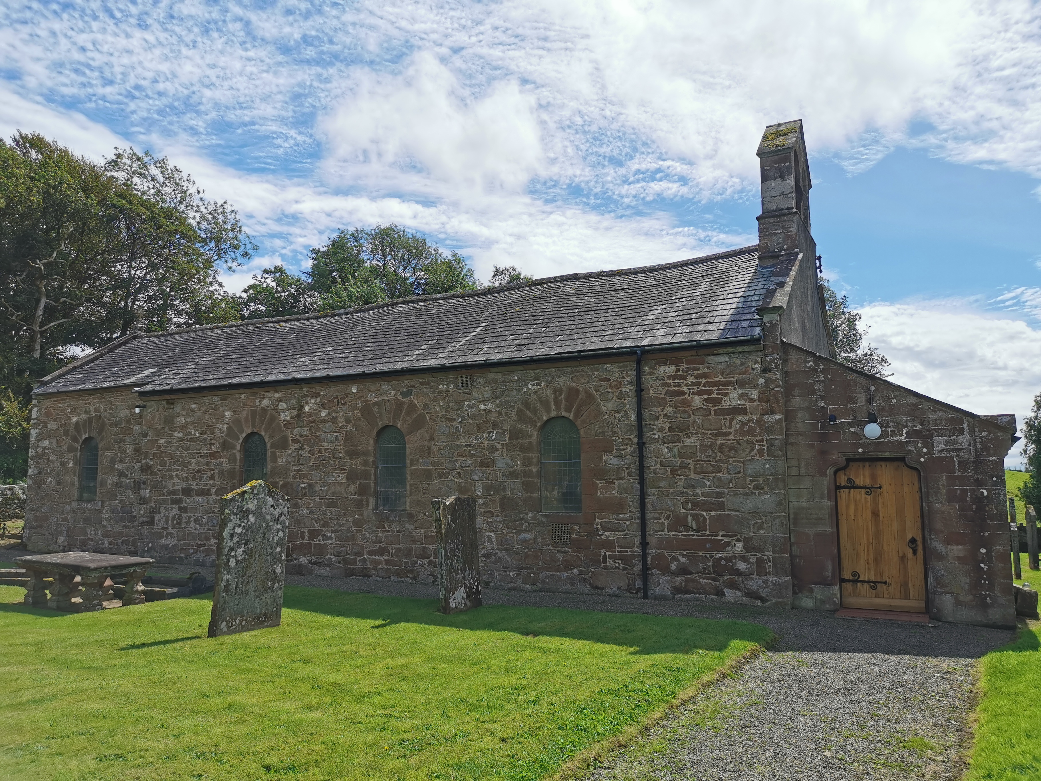
Haile Parish Church

Haile Parish Church is near Haile, Cumbria, England. It is an active Anglican parish church in the deanery of Calder, and the diocese of Carlisle. Its...

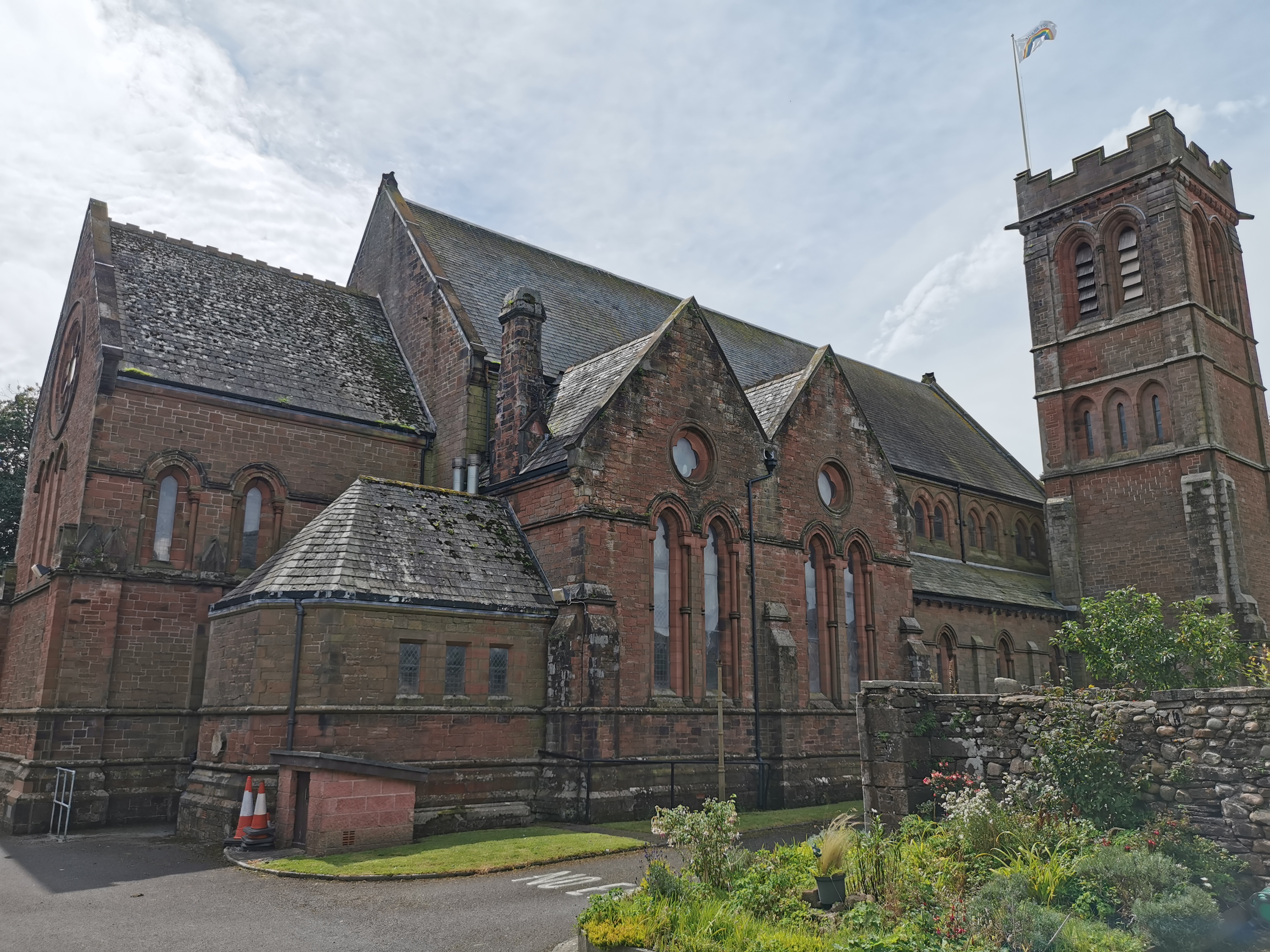
St Mary & St Michael, Egremont

St Mary & St Michael is in Egremont, Cumbria, England. It is an active Anglican parish church in the deanery of Calder, and the diocese of Carlisle. Its...

Egremont Castle

Egremont Castle is located in the town of Egremont, Cumbria (grid reference NY00981050). == History == The original castle was built on a mound above the...
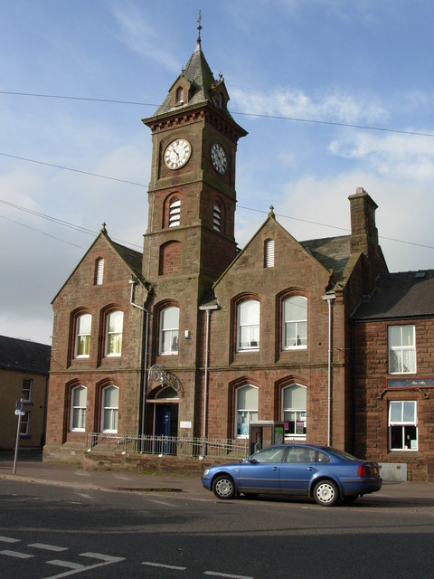
Egremont Town Hall

Egremont Town Hall is a municipal building in Main Street, Egremont, Cumbria, England. The town hall, which is currently used as a public library, is a...

Haile, Cumbria

Haile is a small village and civil parish in Copeland district, in the county of Cumbria, England. It had a population of 617 at the 2011 Census.Nearby...

Nearby Amenities

Located within 500m of 54.470823,-3.515572
Barrier: stile
Foot: yes
Lat/Long: 54.4738962/-3.5172128
Barrier: stile
Foot: yes
Lat/Long: 54.4729078/-3.5157941
Power: pole
Lat/Long: 54.4671023/-3.5121093
Power: pole
Lat/Long: 54.4674699/-3.5126105
Power: pole
Lat/Long: 54.4683877/-3.5138636
Power: pole
Lat/Long: 54.4690928/-3.5148024
Power: pole
Lat/Long: 54.4699759/-3.5154508
Power: pole
Lat/Long: 54.4709237/-3.5161589
Power: pole
Lat/Long: 54.4717697/-3.5168073
Power: pole
Lat/Long: 54.472766/-3.5175274
Power: pole
Lat/Long: 54.4737438/-3.5182394
Power: pole
Lat/Long: 54.4747054/-3.5189475
High Thorny
Place: locality
Lat/Long: 54.4684556/-3.5158385
Low THorny
Place: locality
Lat/Long: 54.4700928/-3.5186415
Carleton
Place: locality
Lat/Long: 54.4710718/-3.5173391
Power: pole
Lat/Long: 54.4684047/-3.5110732
Power: pole
Lat/Long: 54.4691777/-3.5124623
Power: pole
Lat/Long: 54.4692817/-3.512851
Power: pole
Lat/Long: 54.4700968/-3.5139162
Power: pole
Lat/Long: 54.470687/-3.5146651
Power: pole
Lat/Long: 54.4710712/-3.5151739
Power: pole
Lat/Long: 54.4715075/-3.5146441
Power: pole
Lat/Long: 54.4723146/-3.5136417
Power: pole
Lat/Long: 54.4730035/-3.5127862
Power: pole
Lat/Long: 54.4738439/-3.5117306
Power: pole
Lat/Long: 54.4725218/-3.5151891
Power: pole
Lat/Long: 54.4691112/-3.5176682
Power: pole
Lat/Long: 54.46881/-3.5188916
Power: pole
Lat/Long: 54.4685154/-3.520113
Power: pole
Lat/Long: 54.46815/-3.5215822
Power: pole
Lat/Long: 54.467552/-3.5103243
The data included in this document is from www.openstreetmap.org. The data is made available under ODbL.

Have you been to Carleton?

Leave your review of Carleton below (or comments, questions and feedback).