Bagwith Brae

Downs, Moorland in Yorkshire Harrogate

England

Bagwith Brae

Kirk Bank Minor lane heading west from Kirkby Malzeard.
Kirk Bank Credit: Chris Heaton

Bagwith Brae is a picturesque area located in the region of Yorkshire in England. Situated amidst the captivating landscapes of the Yorkshire Downs and Moorland, this area offers breathtaking views and a tranquil atmosphere to visitors and locals alike.

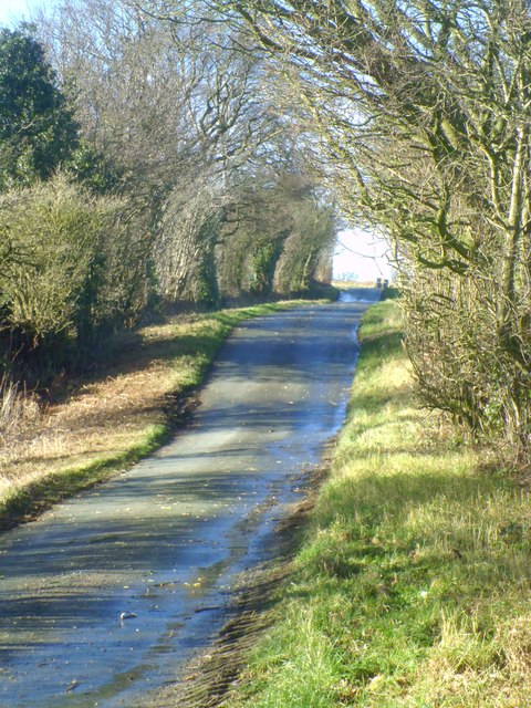
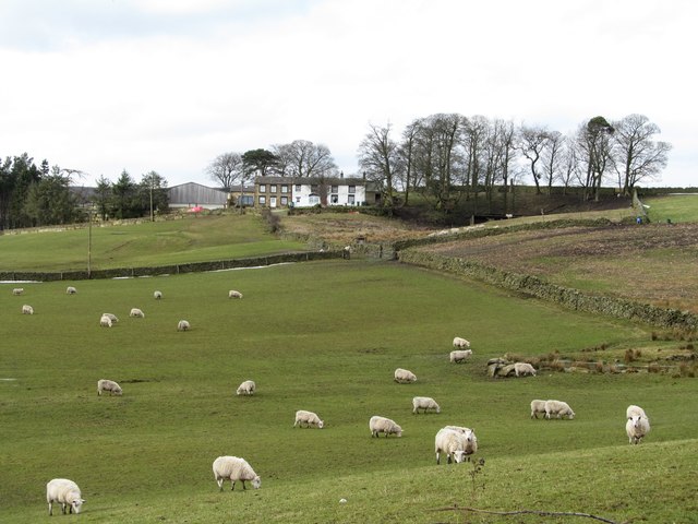
The Bagwith Brae region is characterized by rolling hills, vast expanses of green fields, and charming countryside villages. The area is known for its rich natural beauty, with its undulating terrain providing an ideal setting for hiking, cycling, and other outdoor activities. Walking trails wind their way through the countryside, offering visitors the opportunity to explore the stunning scenery and immerse themselves in nature.

The Yorkshire Downs, with their gently sloping hills and sweeping vistas, form a significant portion of the Bagwith Brae region. These downs are home to an abundance of wildlife, including various species of birds, mammals, and plants. Nature enthusiasts can spot rare and indigenous species while enjoying the tranquility of the area.

Adjacent to the downs, the Bagwith Brae Moorland provides a contrasting landscape with its rugged, heather-covered terrain. This area is known for its expansive stretches of open land, offering a sense of remoteness and solitude. The moorland is particularly popular among birdwatchers, as it is home to several species of birds of prey, including kestrels and merlins.

In addition to its natural beauty, Bagwith Brae is dotted with charming villages that showcase the region's rich history and heritage. These villages feature traditional stone houses, quaint cottages, and historic landmarks, creating a picturesque and idyllic setting.

Overall, Bagwith Brae in Yorkshire is an enchanting destination that combines stunning natural landscapes, diverse wildlife, and a rich cultural heritage, making it a must-visit for nature lovers and those seeking a peaceful retreat.

If you have any feedback on the listing, please let us know in the comments section below.

Bagwith Brae Images

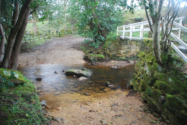
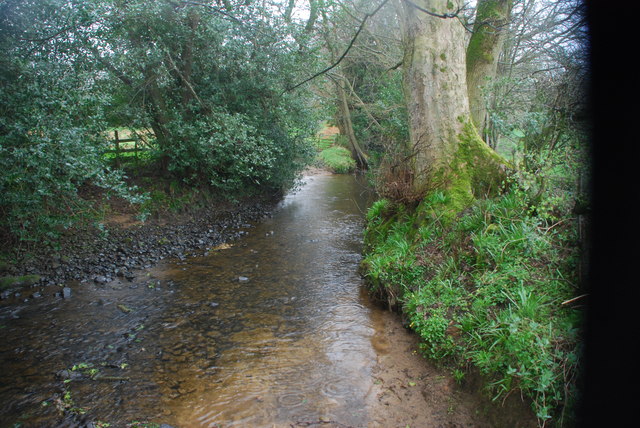
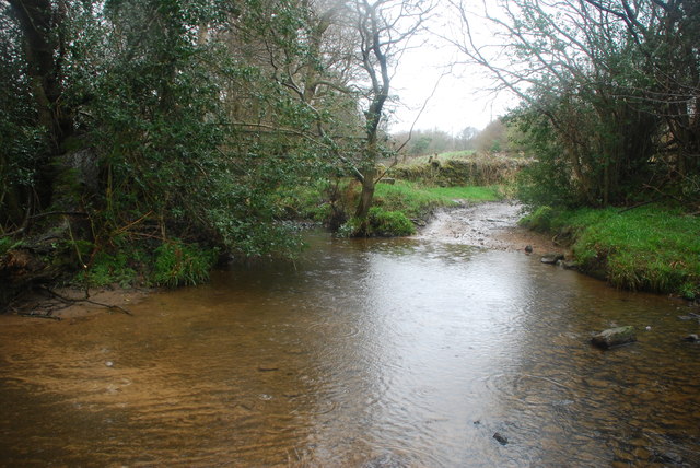
Images are sourced within 2km of 54.160482/-1.6965913 or Grid Reference SE1973. Thanks to Geograph Open Source API. All images are credited.

Kirk Bank Minor lane heading west from Kirkby Malzeard.
Kirk Bank
Minor lane heading west from Kirkby Malzeard.
Wreaks Lane Unsurfaced lane heading gently downhill towards Grewelthorpe.
Wreaks Lane
Unsurfaced lane heading gently downhill towards Grewelthorpe.
Kirk Bank The lane running westwards from Kirkby Malzeard towards Bagwith House and the moor edge is known as Kirk Bank. Its straightness would suggest that it was aligned around the time of 19thC parliamentary enclosures, although it is probably close to the line of medieval trackways that led from the markets in Kirkby to Upper Nidderdale.
Kirk Bank
The lane running westwards from Kirkby Malzeard towards Bagwith House and the moor edge is known as Kirk Bank. Its straightness would suggest that it was aligned around the time of 19thC parliamentary enclosures, although it is probably close to the line of medieval trackways that led from the markets in Kirkby to Upper Nidderdale.
Biggin Grange Sprawling farm buildings to the north of Kirk Bank near Kirkby Moorside. The name might suggest a link with the medieval granges of Fountains Abbey which is just a few miles away.
Biggin Grange
Sprawling farm buildings to the north of Kirk Bank near Kirkby Moorside. The name might suggest a link with the medieval granges of Fountains Abbey which is just a few miles away.
Kirk Bank Country lane that runs west from Kirkby Malzeard towards the moor edge. The lane is mostly straight, as are the field boundaries to either side, suggesting a 19thC enclosure road.
Kirk Bank
Country lane that runs west from Kirkby Malzeard towards the moor edge. The lane is mostly straight, as are the field boundaries to either side, suggesting a 19thC enclosure road.
Ford at Belford This ford on the River Laver is found on Belford Lane, a byway leading to Hedge Nook.
Ford at Belford
This ford on the River Laver is found on Belford Lane, a byway leading to Hedge Nook.
Ford at Hedge Nook This ford is found on Aresmor Beck on a byway called Appleby Lane at Hedge Nook.
Ford at Hedge Nook
This ford is found on Aresmor Beck on a byway called Appleby Lane at Hedge Nook.
Ford at Hedge Nook This ford is found on Aresmor Beck along Drift Lane at Hedge Nook.
Ford at Hedge Nook
This ford is found on Aresmor Beck along Drift Lane at Hedge Nook.
Biggin Wood Ford This ford is found on Wreaks Beck at Biggin Wood.
Biggin Wood Ford
This ford is found on Wreaks Beck at Biggin Wood.
Carlesmoor Sighting Tower Not as obvious as the similar tower on Ilton Moor <a href="https://www.geograph.org.uk/gridref/SE1576">SE1576</a> as it isn't on the skyline. Part of the surveying for the construction of the pipeline and aqueduct from Leighton and Roundhill reservoirs towards Harrogate.
Carlesmoor Sighting Tower
Not as obvious as the similar tower on Ilton Moor SE1576 as it isn't on the skyline. Part of the surveying for the construction of the pipeline and aqueduct from Leighton and Roundhill reservoirs towards Harrogate.
Old water works building at Carlesmoor This is shown on old OS 6" maps as 'Carlesmoor Discharge Basin' [whatever that means], and was part of the system delivering water from Leighton and Roundhill Reservoirs to Harrogate, and originally constructed for Harrogate Corporation Water Works. One would assume that it is now redundant.
Old water works building at Carlesmoor
This is shown on old OS 6" maps as 'Carlesmoor Discharge Basin' [whatever that means], and was part of the system delivering water from Leighton and Roundhill Reservoirs to Harrogate, and originally constructed for Harrogate Corporation Water Works. One would assume that it is now redundant.
Tread carefully past the bull Big brown bull by the footpath. Fortunately he was more interested in his harem of cows than the passing walker. Bulls of certain breeds are allowed in fields where there are paths if they are under a certain age [ask first] or are with cows. Dairy bulls such as Holstein are considered too dangerous to be allowed near paths - maybe they can run faster!
Tread carefully past the bull
Big brown bull by the footpath. Fortunately he was more interested in his harem of cows than the passing walker. Bulls of certain breeds are allowed in fields where there are paths if they are under a certain age [ask first] or are with cows. Dairy bulls such as Holstein are considered too dangerous to be allowed near paths - maybe they can run faster!
Approaching Bagwith House A Dales edge farm house that appears to be in the process of being 'done up', judging by the work in progress.
Approaching Bagwith House
A Dales edge farm house that appears to be in the process of being 'done up', judging by the work in progress.
Residents of Stock Beck House Looking back through entries on 'Geograph' I note that I photographed this ruin in 2009 when it still had a roof. Now in a much worse state of decay, although the resident poultry don't seem to mind. There's always a flock of chickens here, and one wonders who takes care of them as farm houses are some distance away.
Residents of Stock Beck House
Looking back through entries on 'Geograph' I note that I photographed this ruin in 2009 when it still had a roof. Now in a much worse state of decay, although the resident poultry don't seem to mind. There's always a flock of chickens here, and one wonders who takes care of them as farm houses are some distance away.
Newlands House Newlands House is situated at around the 270m contour and must be right on the edge of productive farmland as the moor begins a little further west. A high and draughty location.
Newlands House
Newlands House is situated at around the 270m contour and must be right on the edge of productive farmland as the moor begins a little further west. A high and draughty location.
Recent walling repairs by Brown Bank Road The wall has been rebuilt here using both local sandstone of normal size plus a number of very large boulders. Either the work of a very strong man, or more likely a JCB digger.
Recent walling repairs by Brown Bank Road
The wall has been rebuilt here using both local sandstone of normal size plus a number of very large boulders. Either the work of a very strong man, or more likely a JCB digger.
Grassland above Wreaks Beck Fields where the grass has recently been cut and baled for silage. In the distance is the tower of Kirkby Malzeard church.
Grassland above Wreaks Beck
Fields where the grass has recently been cut and baled for silage. In the distance is the tower of Kirkby Malzeard church.
Greygarth Methodist Church An inscribed stone on the gable reads - Wesleyan Chapel 1885. There must have been a larger community in this area at that time as this chapel is in a real backwater, even the approach being on an unmade lane. However it is still in use with afternoon services on the 2nd and 4th Sundays of the month. To the left on the hill is Greygarth Tower.
Greygarth Methodist Church
An inscribed stone on the gable reads - Wesleyan Chapel 1885. There must have been a larger community in this area at that time as this chapel is in a real backwater, even the approach being on an unmade lane. However it is still in use with afternoon services on the 2nd and 4th Sundays of the month. To the left on the hill is Greygarth Tower.
Show me another place!

Bagwith Brae is located at Grid Ref: SE1973 (Lat: 54.160482, Lng: -1.6965913)

Division: West Riding

Administrative County: North Yorkshire

District: Harrogate

Police Authority: North Yorkshire

What 3 Words

///rudder.shatters.walls. Near Masham, North Yorkshire

Related Wikis

Dallowgill

Dallowgill (historically also Dallaghill) is a village in Harrogate district in North Yorkshire, England. It consists of a number of scattered settlements...

Kirkby Malzeard

Kirkby Malzeard () is a village and civil parish in the Harrogate district of North Yorkshire, England. There has been a creamery in the village making...

Laverton, North Yorkshire

Laverton is a village and civil parish in the Harrogate district of North Yorkshire, England, about 7 miles (11 km) west of Ripon. The population of this...

Grewelthorpe

Grewelthorpe is a village and civil parish in the Harrogate district of North Yorkshire, England situated 3 miles (5 km) south of Masham and 6.2 miles...

Nearby Amenities

Located within 500m of 54.160482,-1.6965913
Thwaite House
Building: yes
Source Name: OS 1:25k
Lat/Long: 54.163149/-1.6927295
Carlesmoor Sighting Tower
Description: triangulation column
Man Made: tower
Tower Construction: freestanding
Tower Type: survey
Lat/Long: 54.1588171/-1.7031467
Building: yes
Lat/Long: 54.1578319/-1.6931179
Water Point
Lat/Long: 54.1579278/-1.6966255
The data included in this document is from www.openstreetmap.org. The data is made available under ODbL.

Have you been to Bagwith Brae?

Leave your review of Bagwith Brae below (or comments, questions and feedback).