Barford Down
Downs, Moorland in Wiltshire
England
Barford Down
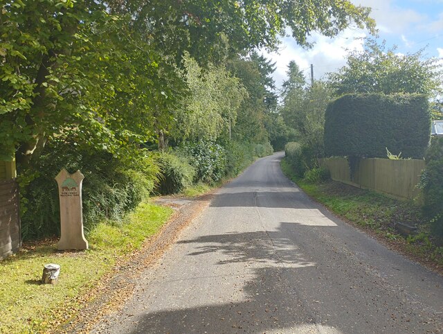
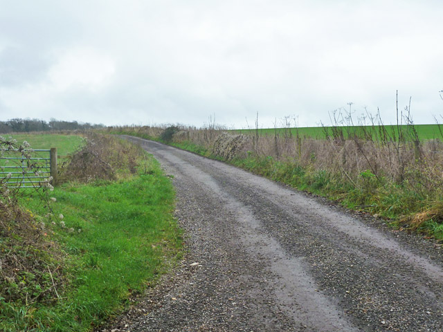
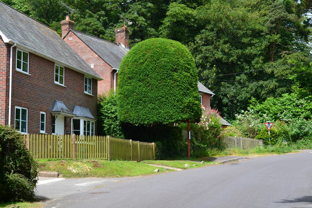
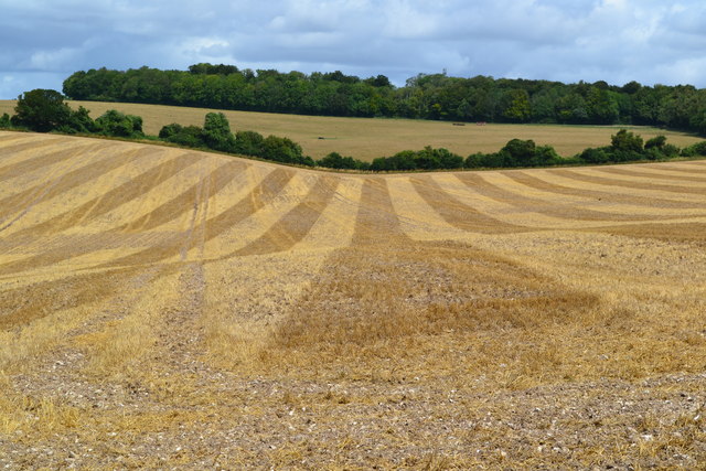
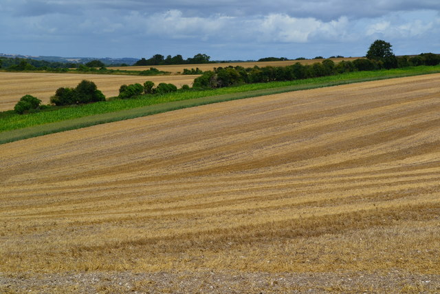
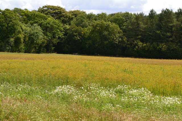
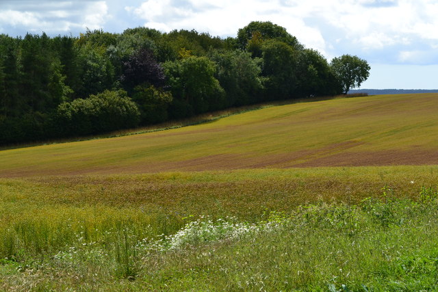
Barford Down is a picturesque area located in the county of Wiltshire, England. It is situated within the expansive Salisbury Plain, known for its vast open spaces, rolling hills, and stunning natural beauty. The down is an extensive area of moorland, characterized by its wide stretches of open grassland, heather, and scattered patches of woodland.
The landscape of Barford Down is defined by its gently undulating terrain, with some areas reaching heights of around 200 meters above sea level. The downs are covered in a rich variety of flora and fauna, providing a diverse habitat for numerous species of plants and animals. Visitors to the area can expect to see a range of bird species, including skylarks, lapwings, and kestrels, as well as various butterflies and other insects.
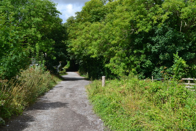
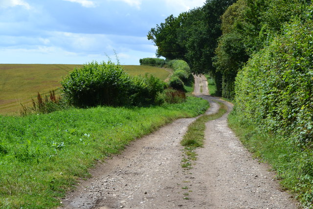
Barford Down offers a tranquil escape from the hustle and bustle of everyday life, providing ample opportunities for outdoor activities such as walking, hiking, and horseback riding. The down is crisscrossed by a network of footpaths and bridleways, allowing visitors to explore its vast expanse at their leisure.
The views from Barford Down are truly breathtaking, with panoramic vistas stretching as far as the eye can see. On a clear day, visitors can enjoy far-reaching views of the surrounding countryside, including the iconic Stonehenge and the nearby town of Salisbury.
Overall, Barford Down is a haven of natural beauty, offering visitors a chance to immerse themselves in the stunning landscapes and peaceful surroundings of the Wiltshire countryside.
If you have any feedback on the listing, please let us know in the comments section below.
Barford Down Images
Images are sourced within 2km of 51.002331/-1.7176697 or Grid Reference SU1922. Thanks to Geograph Open Source API. All images are credited.


Barford Down is located at Grid Ref: SU1922 (Lat: 51.002331, Lng: -1.7176697)
Unitary Authority: Wiltshire
Police Authority: Wiltshire
What 3 Words
///flamenco.earpiece.pacifist. Near Downton, Wiltshire
Nearby Locations
Related Wikis

Church of St Birinus, Morgan's Vale
The Church of St Birinus is a Church of England church in Morgan's Vale, Wiltshire, England. It was designed by Charles Ponting and constructed in 1894...
Redlynch, Wiltshire
Redlynch is a village and civil parish about 6.5 miles (10.5 km) southeast of Salisbury in Wiltshire, England. The parish includes the villages of Morgan...

Trafalgar Park, Wiltshire
Trafalgar Park (also known as Trafalgar House, formerly Standlynch Park) is a large Georgian country house about 1.4 miles (2.3 km) northeast of the village...

Downton railway station
Downton was a railway station serving Downton, a village in Wiltshire. The village contained a large tanning mill on the River Avon, which has now closed...
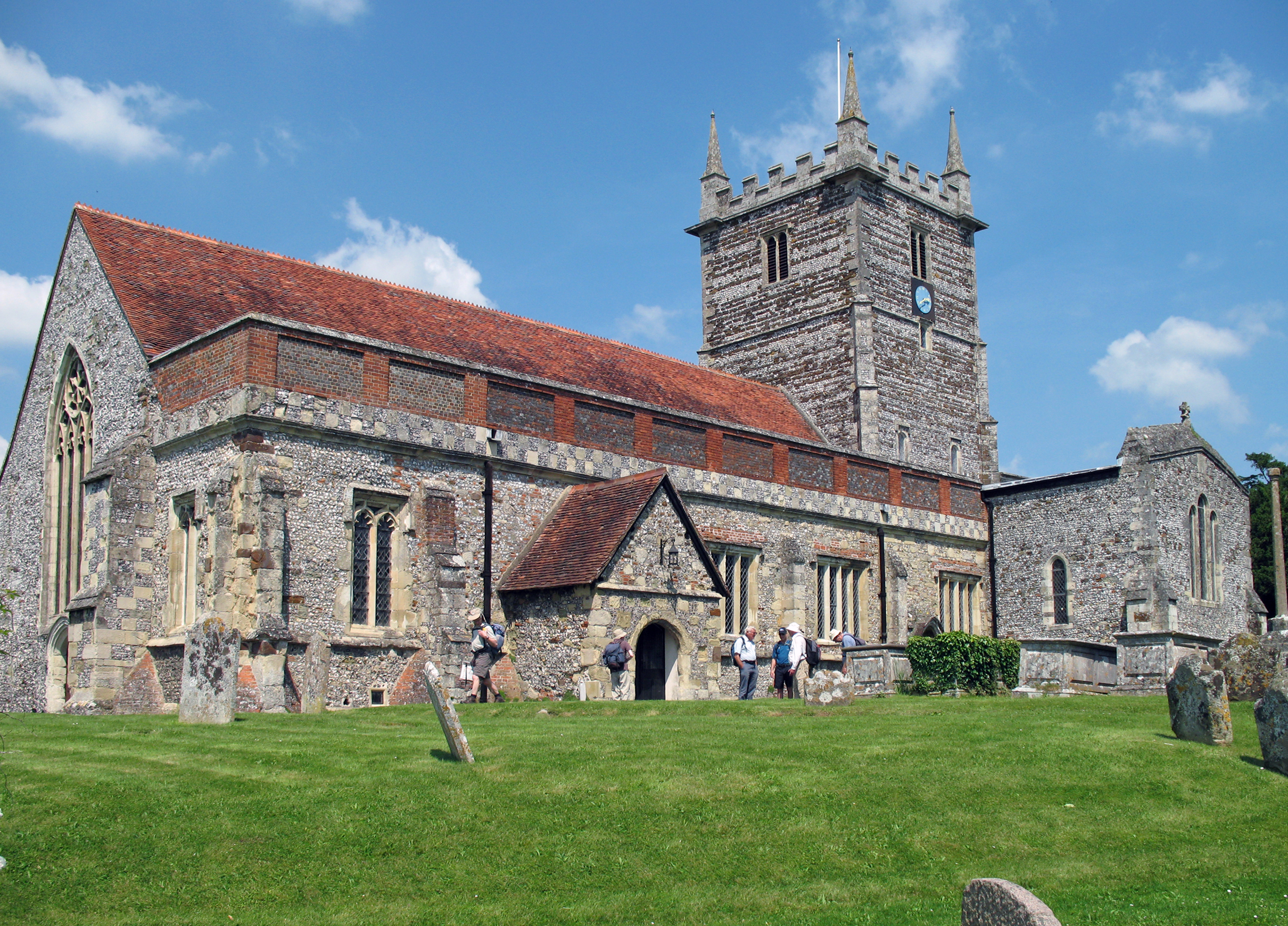
Church of St Laurence, Downton
The Church of St Laurence is the main Church of England parish church for the village of Downton, Wiltshire, England. An unusually long building for a...

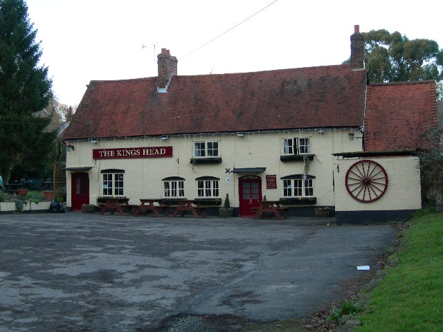
Downton, Wiltshire
Downton is a village and civil parish on the River Avon in southern Wiltshire, England, about 6 miles (10 km) southeast of the city of Salisbury. The parish...

The Pepperbox
The Pepperbox, also known as Eyre's Folly, is a folly tower that stands near the highest point on Pepperbox Hill, the peak of a chalk ridge about 5 miles...

Lover, Wiltshire
Lover (pronounced like Dover, ) is a small village in Wiltshire, England, close to the county border with Hampshire. It is part of the parish of Redlynch...
Nearby Amenities
Located within 500m of 51.002331,-1.7176697Have you been to Barford Down?
Leave your review of Barford Down below (or comments, questions and feedback).