Kate's Wood

Wood, Forest in Kirkcudbrightshire

Scotland

Kate's Wood

War memorial above Balmaclellan Balmaclellan's war memorial is on the north side of the A712 above the small settlement which is out of view.
War memorial above Balmaclellan Credit: Trevor Littlewood

Kate's Wood is a picturesque woodland located in Kirkcudbrightshire, Scotland. Covering an area of approximately 50 acres, it is nestled within the rolling hills of the region. The wood is named after Kate, a local farmer who owned the land and dedicated it to conservation efforts.

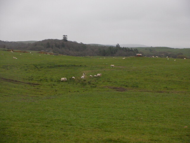
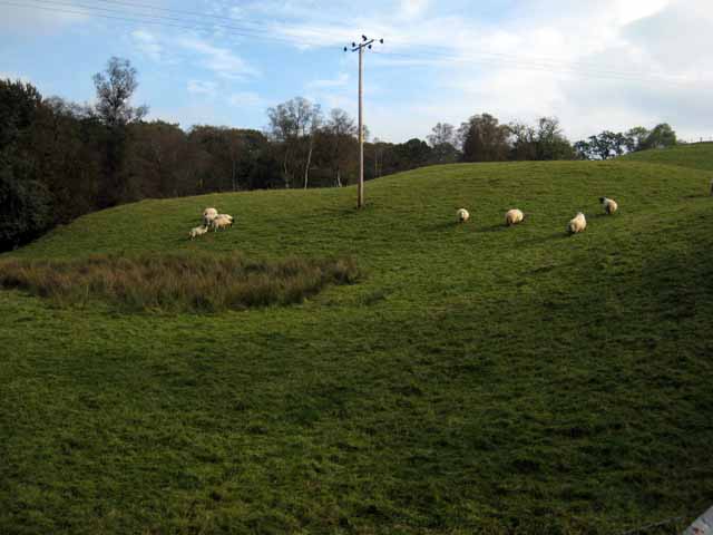
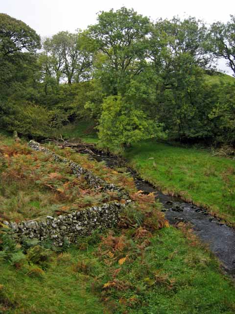
The wood is characterized by a diverse range of tree species, including oak, birch, beech, and pine. These trees create a lush and vibrant canopy that provides a habitat for a variety of wildlife. Visitors to Kate's Wood can expect to encounter a wide array of bird species, such as woodpeckers, owls, and various songbirds. The wood is also home to small mammals like rabbits, squirrels, and foxes.

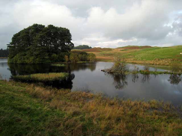
A network of well-maintained trails winds through the wood, allowing visitors to explore its beauty at their own pace. These paths take visitors through different sections of the wood, offering breathtaking views of the surrounding countryside and the nearby river. Along the trails, there are informative signs that provide interesting facts about the flora and fauna found in the wood.

Kate's Wood is a popular destination for nature enthusiasts, hikers, and families looking for a peaceful retreat. It offers a tranquil and serene environment, where visitors can immerse themselves in the natural beauty of the Scottish countryside. Whether it's a leisurely walk, a picnic, or birdwatching, Kate's Wood provides a delightful experience for all.

If you have any feedback on the listing, please let us know in the comments section below.
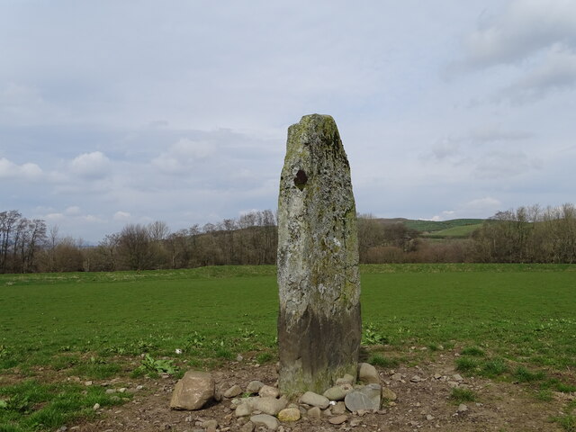
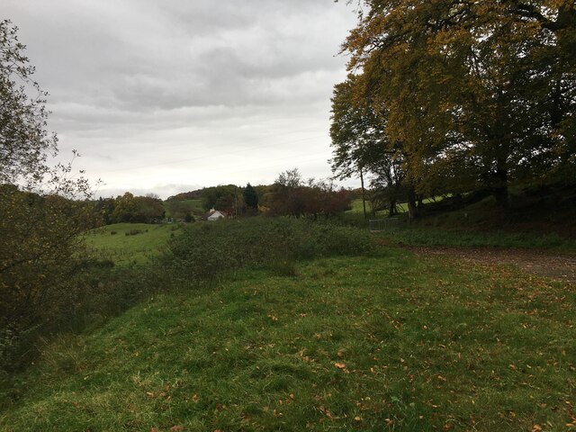
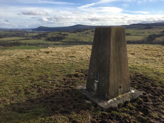
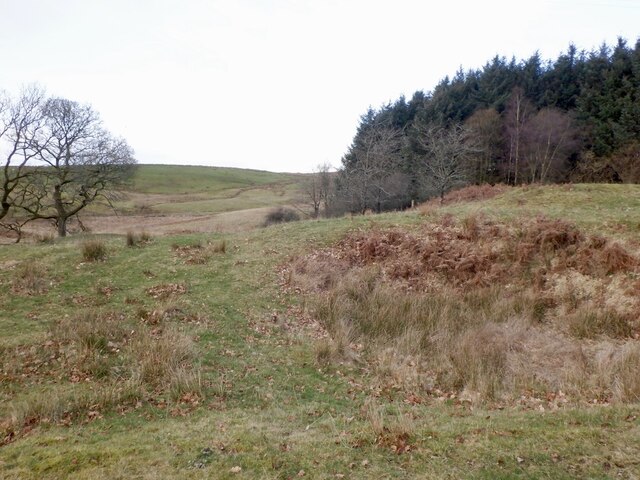
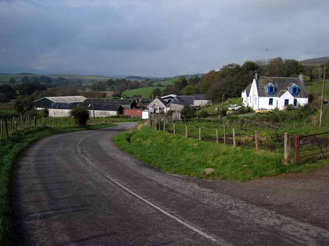
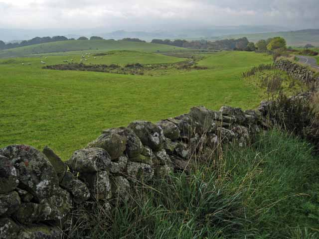
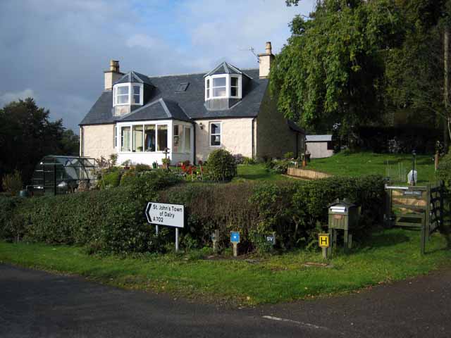
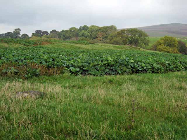
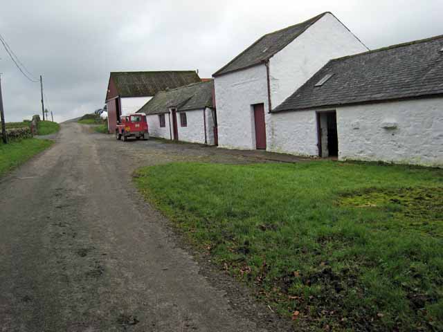
Kate's Wood Images

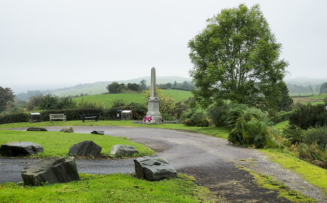
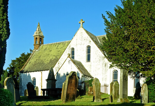
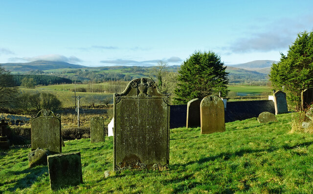
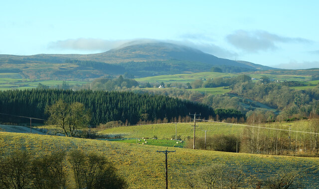
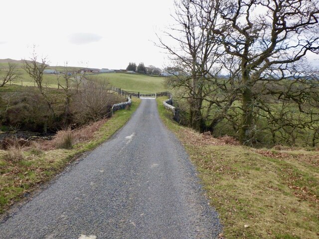
Images are sourced within 2km of 55.103562/-4.1192 or Grid Reference NX6480. Thanks to Geograph Open Source API. All images are credited.

War memorial above Balmaclellan Balmaclellan's war memorial is on the north side of the A712 above the small settlement which is out of view.
War memorial above Balmaclellan
Balmaclellan's war memorial is on the north side of the A712 above the small settlement which is out of view.
Balmaclellan Church Many of these churches in small rural communities have monthly Sunday services. Balmaclellan’s turn is the first Sunday of each month.
Balmaclellan Church
Many of these churches in small rural communities have monthly Sunday services. Balmaclellan’s turn is the first Sunday of each month.
Balmaclellan Graveyard The gravestones show that this is a very old religious site with burials recorded in the early 18th century.
Balmaclellan Graveyard
The gravestones show that this is a very old religious site with burials recorded in the early 18th century.
Balmaclellan Graveyard view There can’t be many churches that enjoy such a wonderful view of the local countryside. Mulloch Hill is shown on the skyline.
Balmaclellan Graveyard view
There can’t be many churches that enjoy such a wonderful view of the local countryside. Mulloch Hill is shown on the skyline.
Dalarran Standing Stone The standing stone of Dalarran.
Dalarran Standing Stone
The standing stone of Dalarran.
Farmland near Garplefoot
Mulloch Hill Trig Point Flush Bracket S8315
Near Half Mark Grassland now greening up near Half Mark Bridge.
Near Half Mark
Grassland now greening up near Half Mark Bridge.
Half Mark Bridge
Half Mark Bridge
Sheep, Court Knowe
Sheep, Court Knowe
Moss Roddock Loch A very scenic loch just outside St John's Town of Dalry.
Moss Roddock Loch
A very scenic loch just outside St John's Town of Dalry.
Field with sheep above the Garple Burn Seen from the B7075 Bogue to New Galloway road.
Field with sheep above the Garple Burn
Seen from the B7075 Bogue to New Galloway road.
Bogue Farm Seen on the A702 New Galloway to Thornhill road.
Bogue Farm
Seen on the A702 New Galloway to Thornhill road.
Field near Bogue Seen from the A702 Dalry to Thornhill road.
Field near Bogue
Seen from the A702 Dalry to Thornhill road.
Lochinvar Burn, near Milnmark
Bogue Toll Old tollhouse on the A 702 road from Thornhill to St John's Town of Dalry.
Bogue Toll
Old tollhouse on the A 702 road from Thornhill to St John's Town of Dalry.
Field of fodder crop near Bogue Seen from the A702 road from Thornhill to St John's Town of Dalry. The line of trees marks the valley of the Lochinvar Burn.
Field of fodder crop near Bogue
Seen from the A702 road from Thornhill to St John's Town of Dalry. The line of trees marks the valley of the Lochinvar Burn.
Milnmark Farm on the road to Lochinvar.
Milnmark
Farm on the road to Lochinvar.
Show me another place!

Kate's Wood is located at Grid Ref: NX6480 (Lat: 55.103562, Lng: -4.1192)

Unitary Authority: Dumfries and Galloway

Police Authority: Dumfries and Galloway

What 3 Words

///promises.situation.spearing. Near Castle Douglas, Dumfries & Galloway

Related Wikis

Barscobe Castle

Barscobe Castle is a 17th-century tower house in Balmaclellan, Kirkcudbrightshire, Scotland. It is a typical house of a country laird, and according to...

Balmaclellan

Balmaclellan (Scottish Gaelic: Baile Mac-a-ghille-dhiolan, meaning town of the MacLellans) is a small hillside village of stone houses with slate roofs...

Ken Bridge

The Ken Bridge is a road bridge about 0.8 kilometres (0.5 mi) north east of New Galloway in Dumfries and Galloway, Scotland, which carries the A712 road...

St John's Town of Dalry

St John's Town of Dalry (Scottish Gaelic: Clachan Eòin), usually referred to simply as Dalry (/dæl'raɪ/ / 'dal-RYE'), is a village in Dumfries and Galloway...

Nearby Amenities

Located within 500m of 55.103562,-4.1192
White Hill
Natural: peak
Lat/Long: 55.0994734/-4.1196748
Power: pole
Lat/Long: 55.0992554/-4.120893
Power: pole
Lat/Long: 55.1000159/-4.1211236
Power: pole
Lat/Long: 55.1008007/-4.1213421
Power: pole
Lat/Long: 55.1016514/-4.1215909
Power: pole
Lat/Long: 55.1024326/-4.1217882
Power: pole
Lat/Long: 55.1029951/-4.1224313
Power: pole
Lat/Long: 55.1035194/-4.1229896
Power: pole
Lat/Long: 55.1040766/-4.1235996
Power: pole
Lat/Long: 55.1048335/-4.124428
Power: pole
Lat/Long: 55.1052224/-4.1254233
Power: pole
Lat/Long: 55.1055036/-4.1229047
Power: pole
Lat/Long: 55.1061148/-4.1215488
Power: pole
Lat/Long: 55.1066084/-4.1208669
Power: pole
Lat/Long: 55.1069986/-4.1203111
Power: pole
Lat/Long: 55.1075063/-4.1196119
Power: pole
Lat/Long: 55.0998416/-4.1225482
The data included in this document is from www.openstreetmap.org. The data is made available under ODbL.

Have you been to Kate's Wood?

Leave your review of Kate's Wood below (or comments, questions and feedback).