Bar Hill
Hill, Mountain in Kirkcudbrightshire
Scotland
Bar Hill
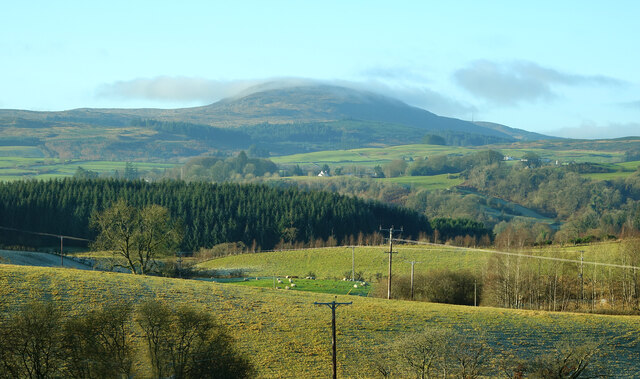
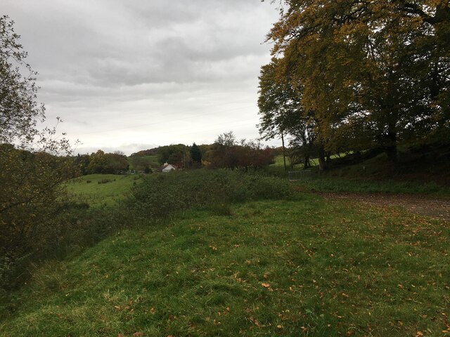
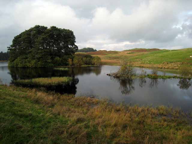
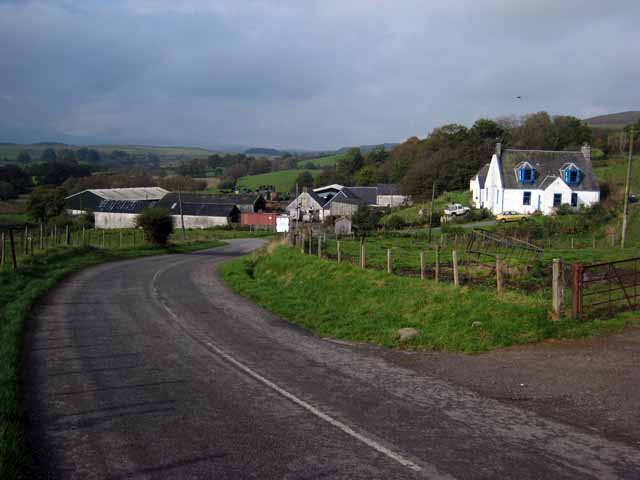
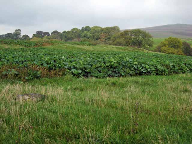
Bar Hill is a prominent hill located in Kirkcudbrightshire, Scotland. It stands at an elevation of 260 meters (853 feet) above sea level and offers stunning views of the surrounding countryside. The hill is known for its distinctive conical shape and is a popular destination for hikers, walkers, and nature enthusiasts.
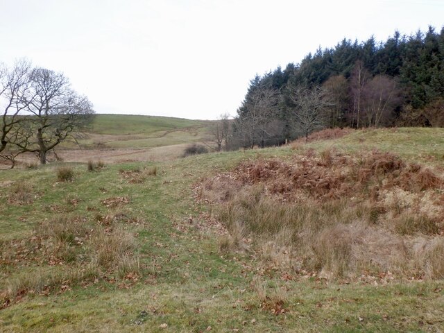
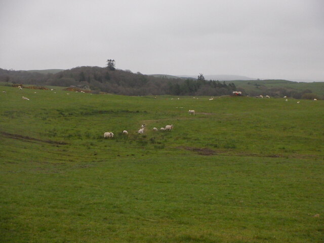
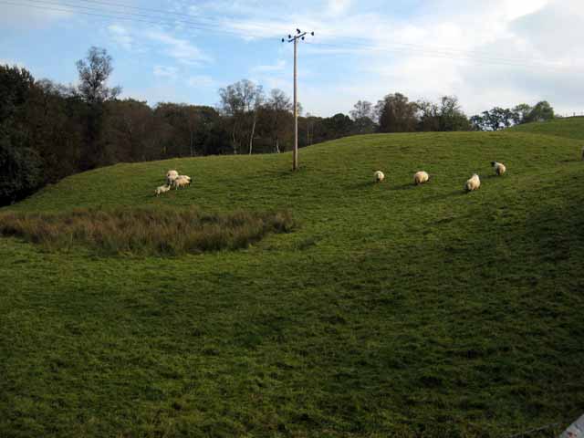
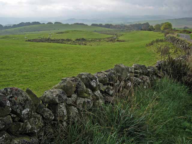
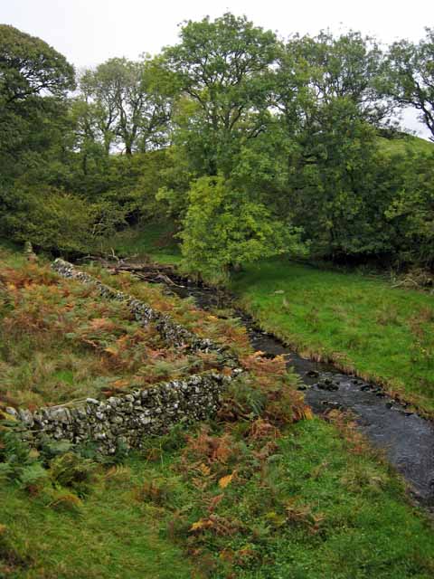
Bar Hill is covered in lush green vegetation, including grasses, heather, and wildflowers, making it a haven for wildlife. Visitors may spot various bird species, such as buzzards and kestrels, as well as rabbits, deer, and other small mammals.
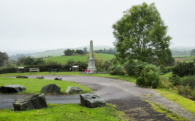
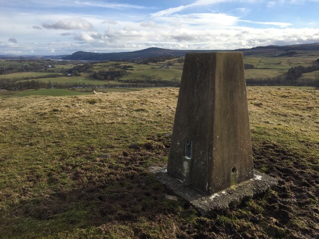
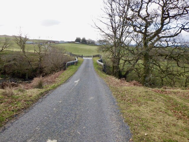
The hill is easily accessible by foot, with well-maintained trails leading to the summit. At the top, there is a trig point and a cairn, where hikers can pause to take in the panoramic views of the rolling hills and valleys below.
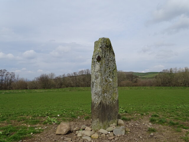
Bar Hill is steeped in history, with archaeological evidence suggesting that it was once the site of a hillfort dating back to the Iron Age. Today, it remains a popular destination for outdoor recreation and a place of natural beauty in the Kirkcudbrightshire region.
If you have any feedback on the listing, please let us know in the comments section below.
Bar Hill Images
Images are sourced within 2km of 55.102744/-4.1207713 or Grid Reference NX6480. Thanks to Geograph Open Source API. All images are credited.
Bar Hill is located at Grid Ref: NX6480 (Lat: 55.102744, Lng: -4.1207713)
Unitary Authority: Dumfries and Galloway
Police Authority: Dumfries and Galloway
What 3 Words
///infringe.leader.next. Near Castle Douglas, Dumfries & Galloway
Nearby Locations
Related Wikis

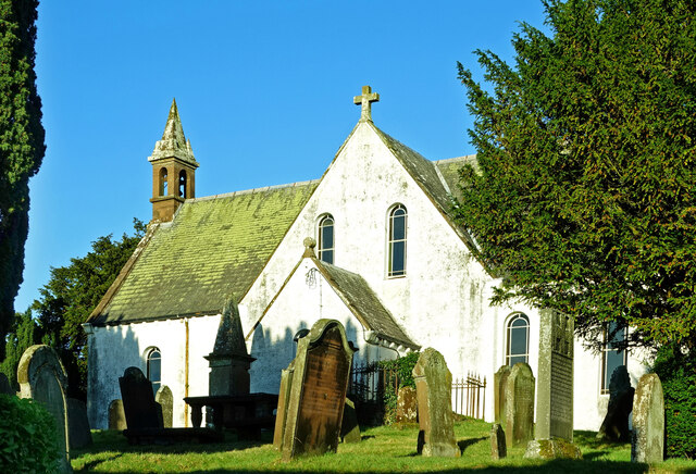
Barscobe Castle
Barscobe Castle is a 17th-century tower house in Balmaclellan, Kirkcudbrightshire, Scotland. It is a typical house of a country laird, and according to...

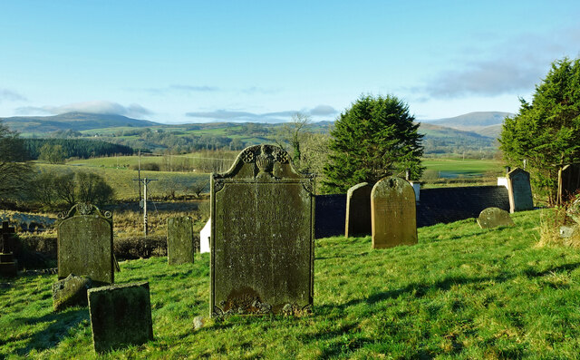
Balmaclellan
Balmaclellan (Scottish Gaelic: Baile Mac-a-ghille-dhiolan, meaning town of the MacLellans) is a small hillside village of stone houses with slate roofs...

Ken Bridge
The Ken Bridge is a road bridge about 0.8 kilometres (0.5 mi) north east of New Galloway in Dumfries and Galloway, Scotland, which carries the A712 road...

St John's Town of Dalry
St John's Town of Dalry (Scottish Gaelic: Clachan Eòin), usually referred to simply as Dalry (/dæl'raɪ/ / 'dal-RYE'), is a village in Dumfries and Galloway...
Nearby Amenities
Located within 500m of 55.102744,-4.1207713Have you been to Bar Hill?
Leave your review of Bar Hill below (or comments, questions and feedback).