Pantau

Hill, Mountain in Carmarthenshire

Wales

Pantau

Old Milestone by A40, Rhosmaen There should be an Ordnance Survey benchmark on the stone that marks a point 36.7129ft above mean sea level. 

Inscription reads:- 
XI / Miles / Llandov / ery / I / Llandilo 

Milestone Society National ID: CAM_LDLL11
Old Milestone by A40, Rhosmaen Credit: Kirstie Hackett

Pantau is a hill located in the county of Carmarthenshire, Wales. Situated in the western part of the county, Pantau is part of the Carmarthen Fans, a range of hills that form the westernmost extension of the Black Mountain. Rising to an elevation of approximately 500 meters (1,640 feet), Pantau offers stunning panoramic views of the surrounding countryside.

The hill is predominantly covered in grass and heather, with rugged terrain and rocky outcrops adding to its character. Its slopes are relatively steep, providing an exciting challenge for hikers and mountaineers. The summit of Pantau is marked by a trig point, which serves as a navigational aid and a point of reference for visitors.

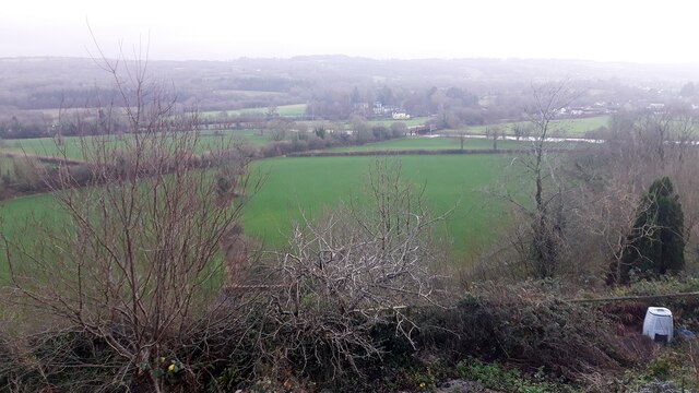
Due to its location within the Brecon Beacons National Park, Pantau is a popular destination for outdoor enthusiasts. The hill offers various walking and hiking routes, catering to different fitness levels and preferences. Visitors can enjoy the tranquility and natural beauty of the area, as well as the opportunity to spot wildlife such as red kites, buzzards, and wild ponies.

Pantau is easily accessible from nearby towns and villages, with several footpaths leading to its summit. It provides an excellent opportunity for individuals to immerse themselves in nature, explore the Welsh countryside, and experience the rugged charm of Carmarthenshire's landscape.

If you have any feedback on the listing, please let us know in the comments section below.
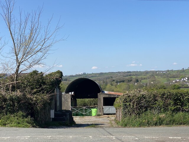
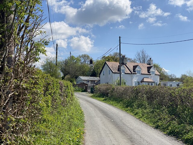
Pantau Images

Images are sourced within 2km of 51.886035/-3.9660533 or Grid Reference SN6422. Thanks to Geograph Open Source API. All images are credited.

Old Milestone by A40, Rhosmaen There should be an Ordnance Survey benchmark on the stone that marks a point 36.7129ft above mean sea level. 

Inscription reads:- 
XI / Miles / Llandov / ery / I / Llandilo 

Milestone Society National ID: CAM_LDLL11
Old Milestone by A40, Rhosmaen
There should be an Ordnance Survey benchmark on the stone that marks a point 36.7129ft above mean sea level. Inscription reads:- XI / Miles / Llandov / ery / I / Llandilo Milestone Society National ID: CAM_LDLL11
St Teilo's Well and Church
River Towy Railway Bridge
Woodland path Path alongside the Pontbren Araeth stream.
Woodland path
Path alongside the Pontbren Araeth stream.
Bethel Chapel Disused Baptist Chapel in the tranquil valley of Pontbren Araeth.
Bethel Chapel
Disused Baptist Chapel in the tranquil valley of Pontbren Araeth.
Bethel Baptist Chapel Built in 1842, now disused.
Bethel Baptist Chapel
Built in 1842, now disused.
A glimpse of bygone days Bethel Baptist Chapel was built in 1842 but is now disused and falling into disrepair.  This photograph was taken through a chink in a broken window.  A scaffolding pole is fastened just inside the window and fallen plaster lies among the pews. The gallery, such a common feature of Welsh chapels of this period, is clearly visible.  In such a remote spot were these pews ever full?  Perhaps for weddings and funerals in days gone by.
A glimpse of bygone days
Bethel Baptist Chapel was built in 1842 but is now disused and falling into disrepair. This photograph was taken through a chink in a broken window. A scaffolding pole is fastened just inside the window and fallen plaster lies among the pews. The gallery, such a common feature of Welsh chapels of this period, is clearly visible. In such a remote spot were these pews ever full? Perhaps for weddings and funerals in days gone by.
Stream, fence and path - at Pontbren Araeth, near Bethel Baptist Chapel.
Stream, fence and path
- at Pontbren Araeth, near Bethel Baptist Chapel.
Pentre Parr Lodge
Pentre Parr Lodge
Track to Pentre Parr Farm
Tygwyn Farm
Tygwyn Farm
Lane to Tygwyn Farm
Lane to Tygwyn Farm
Wild garlic beside a stream
Rhosmaen Street, looking south
Petrol station and houses on Rhosmaen Street, looking east
Looking north on Rhosmaen Street
Llandeilo railway station, Carmarthenshire, 1983 Opened in 1852 by the 'Llanelly Railway' on the line from Llanelli, the route was later extended northwards and by linking up with other lines, created a through route to Llandrindod Wells, Church Stretton and Shrewsbury. It became known as the Central Wales Line.
View north east towards Talley Road Halt and Llandrindod. From 1865 to 1963, this was also the junction for the line to Carmarthen. See <a href="https://www.geograph.org.uk/photo/3998458">SN6322 : Llandeilo railway station, Carmarthenshire</a> for a more verdant 2014 image from the left-hand platform.
Llandeilo railway station, Carmarthenshire, 1983
Opened in 1852 by the 'Llanelly Railway' on the line from Llanelli, the route was later extended northwards and by linking up with other lines, created a through route to Llandrindod Wells, Church Stretton and Shrewsbury. It became known as the Central Wales Line. View north east towards Talley Road Halt and Llandrindod. From 1865 to 1963, this was also the junction for the line to Carmarthen. See SN6322 : Llandeilo railway station, Carmarthenshire for a more verdant 2014 image from the left-hand platform.
Graveyard St Teilo's Church, Llandeilo
Show me another place!

Pantau is located at Grid Ref: SN6422 (Lat: 51.886035, Lng: -3.9660533)

Unitary Authority: Carmarthenshire

Police Authority: Dyfed Powys

What 3 Words

///overlaid.deprives.rotate. Near Llandeilo, Carmarthenshire

Related Wikis

Tregyb Woodlands

Tregyb Woodlands (Welsh: Coedydd Tregyb) is a Site of Special Scientific Interest (SSSI) in Carmarthen & Dinefwr, Wales. Designated as a SSSI since 1980...

Llandeilo railway station

Llandeilo railway station (formerly Llandilo Junction for the Carmarthen Line) serves the town of Llandeilo, Carmarthenshire. The station is 30+3⁄4 miles...

Llandeilo

Llandeilo (Welsh pronunciation: [ɬanˈdeilɔ]) is a town and community in Carmarthenshire, Wales, situated at the crossing of the River Towy by the A483...

Ysgol Tre-Gib

Ysgol Tre-Gib was a bilingual, English language / Welsh language comprehensive school for pupils aged 11 yrs to 18 years based in Ffairfach, Llandeilo...

Nearby Amenities

Located within 500m of 51.886035,-3.9660533
Direction: 190
Generator Method: photovoltaic
Generator Output Electricity: yes
Generator Solar Modules: 13
Generator Source: solar
Generator Type: solar_photovoltaic_panel
Location: roof
Power: generator
Lat/Long: 51.886945/-3.96081
The data included in this document is from www.openstreetmap.org. The data is made available under ODbL.

Have you been to Pantau?

Leave your review of Pantau below (or comments, questions and feedback).