Banc Tŷ-hen

Hill, Mountain in Cardiganshire

Wales

Banc Tŷ-hen

Tal-y-Bont Cemetery On a hillside on the northern side of the village. The brown expanse in the distance is Cors Fochno
Tal-y-Bont Cemetery Credit: Eirian Evans

Banc Tŷ-hen is a prominent hill located in the county of Cardiganshire, Wales. Standing at an elevation of approximately 300 meters (984 feet), it offers breathtaking panoramic views of the surrounding countryside. Situated within the rural community of Llanwenog, Banc Tŷ-hen is a popular destination for hikers, nature enthusiasts, and locals alike.

The hill is characterized by its gently sloping terrain, which gradually ascends towards its summit. Covered in lush green grass and scattered with rocky outcrops, Banc Tŷ-hen presents a picturesque landscape typical of the Welsh countryside. The hill is also home to diverse flora and fauna, including various species of wildflowers and a variety of birdlife.

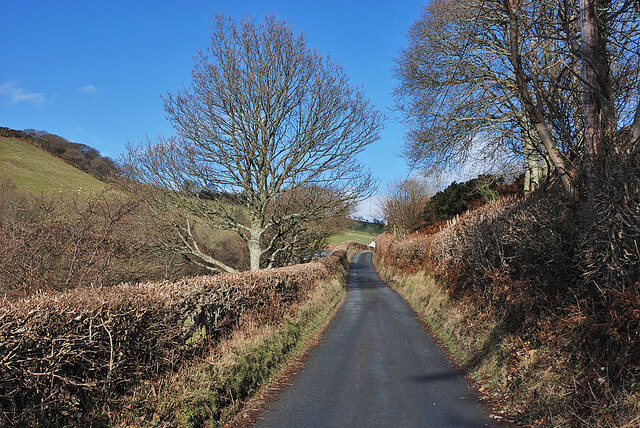
Access to Banc Tŷ-hen is relatively easy, with a network of footpaths and trails leading to the top. These paths provide a pleasant and leisurely hiking experience, suitable for individuals of different fitness levels. The summit itself offers breathtaking vistas, allowing visitors to admire the rolling hills, valleys, and distant mountains that stretch as far as the eye can see.

Banc Tŷ-hen holds historical significance, with remnants of ancient settlements and burial sites scattered across its slopes. These archaeological features add an extra layer of intrigue and interest to the hill, attracting history enthusiasts keen to explore the area's past.

Overall, Banc Tŷ-hen is a captivating natural landmark, offering a serene and picturesque setting for outdoor activities and exploration. Whether it is taking in the stunning views, embarking on a hike, or discovering its historical heritage, visitors to Banc Tŷ-hen are sure to find an enriching experience in this idyllic corner of Cardiganshire.

If you have any feedback on the listing, please let us know in the comments section below.
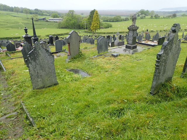
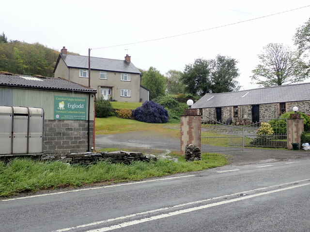
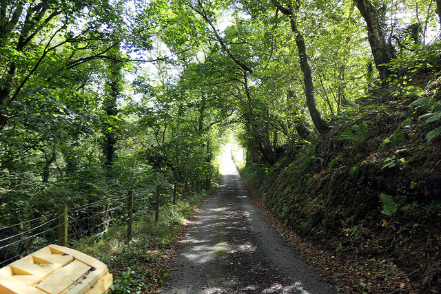
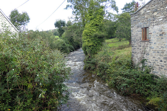
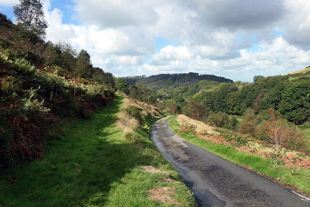
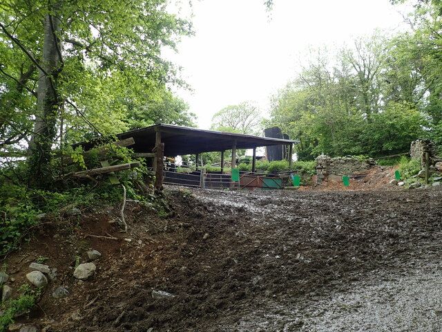
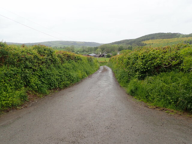
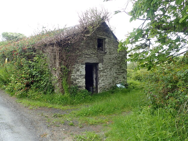
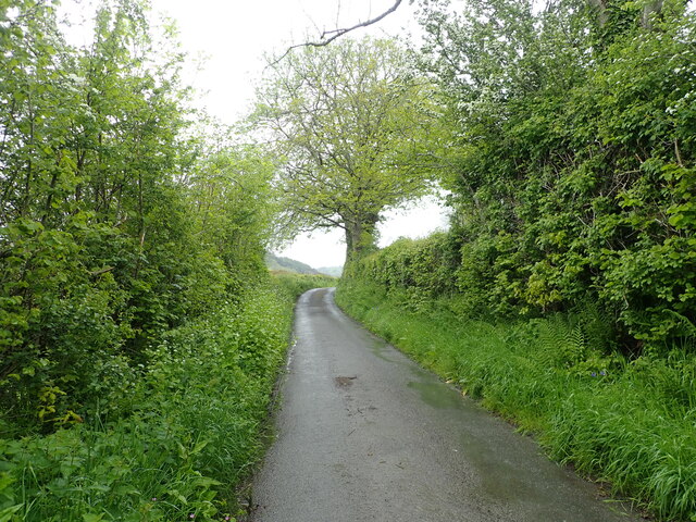
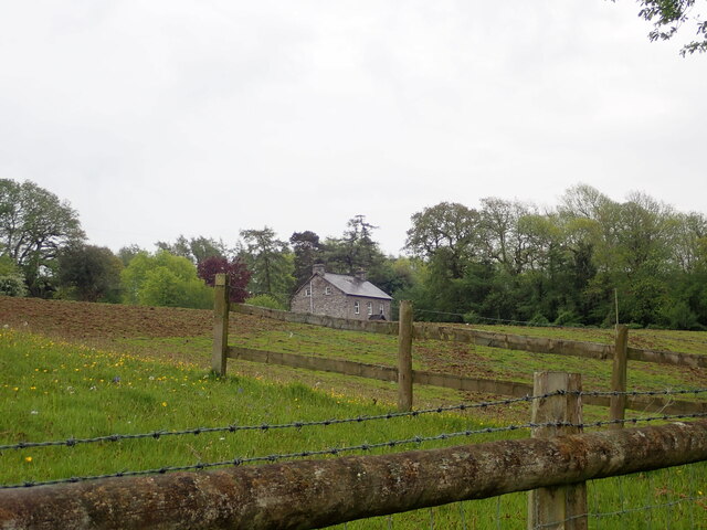
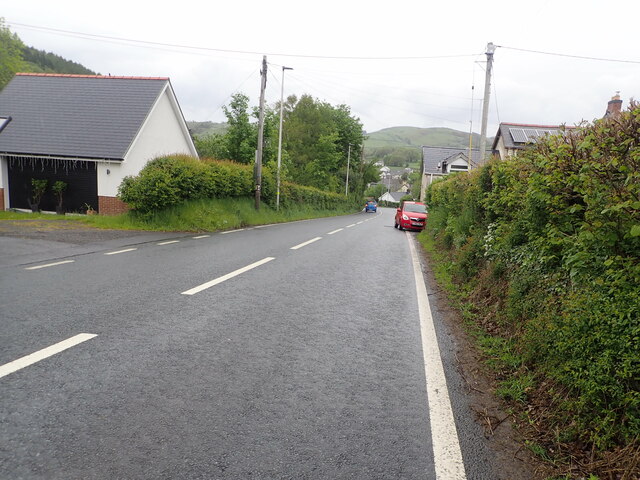
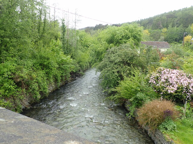
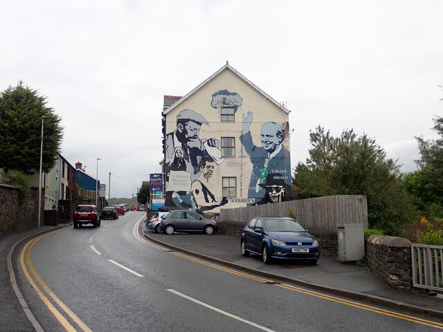
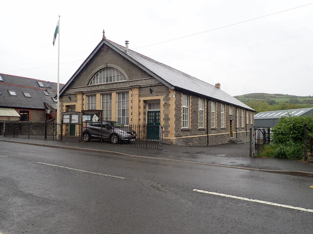
Banc Tŷ-hen Images

Images are sourced within 2km of 52.485584/-3.9929097 or Grid Reference SN6489. Thanks to Geograph Open Source API. All images are credited.

Tal-y-Bont Cemetery On a hillside on the northern side of the village. The brown expanse in the distance is Cors Fochno
Tal-y-Bont Cemetery
On a hillside on the northern side of the village. The brown expanse in the distance is Cors Fochno
Cors Fochno (Borth Bog) Seen from the A487 near Erglodd. The bog lies on the south side of the Dyfi estuary  and forms a component part of the Dyfi Biosphere Reserve.
Cors Fochno (Borth Bog)
Seen from the A487 near Erglodd. The bog lies on the south side of the Dyfi estuary and forms a component part of the Dyfi Biosphere Reserve.
Erglodd farm
Erglodd farm
Lane climbing up Cwm Slaid The old coach road, seen climbing away north from Talybont.
Lane climbing up Cwm Slaid
The old coach road, seen climbing away north from Talybont.
Minor road leading to Bwlch Garw Also forms part of the Borth to Devil's Bridge Trail.
Minor road leading to Bwlch Garw
Also forms part of the Borth to Devil's Bridge Trail.
Afon Leri Viewed from Pont Talybont.
Afon Leri
Viewed from Pont Talybont.
Parting of the ways on Braich Garw The metalled road leads down to Talybont and also forms part of the Borth to Devil's Bridge Trail. To the left is a right of way leading to Caer Lletty-llwyd. This area is access land.
Parting of the ways on Braich Garw
The metalled road leads down to Talybont and also forms part of the Borth to Devil's Bridge Trail. To the left is a right of way leading to Caer Lletty-llwyd. This area is access land.
Barn at Maes-y-Dogn
Barn at Maes-y-Dogn
Maesnewydd Farm
Maesnewydd Farm
Outbuilding at Efail Fach, Llandre Planning permission sought to change this into a dwelling.
Outbuilding at Efail Fach, Llandre
Planning permission sought to change this into a dwelling.
Minor road from Penrhyn Coch to Tal-y-Bont
Llety Llwyd In the woodland behind this house there is the site of a hillfort
Llety Llwyd
In the woodland behind this house there is the site of a hillfort
The A487 on the southern side of Tal-y-Bont
Afon Leri River Heading towards the Dovey estuary at Traeth Maelgwyn
Afon Leri River
Heading towards the Dovey estuary at Traeth Maelgwyn
Y Lolfa, Tal-y-Bont HQ of the Welsh  printing and publishing company. Founded in 1967 by Robat Gruffudd, it publishes books in both Welsh and English. It has adopted a deliberate policy of not adapting books from other languages in order to support Welsh artists and authors.
Y Lolfa, Tal-y-Bont
HQ of the Welsh printing and publishing company. Founded in 1967 by Robat Gruffudd, it publishes books in both Welsh and English. It has adopted a deliberate policy of not adapting books from other languages in order to support Welsh artists and authors.
Neuadd Goffa Tal-y-Bont Memorial Hall
Former Police Station, Tal-y-Bont Now a shop selling publications by Y Lolfa, the local printing and publishing company based in Tal-y-Bont
Former Police Station, Tal-y-Bont
Now a shop selling publications by Y Lolfa, the local printing and publishing company based in Tal-y-Bont
Capel Bethel, Tal-y-Bont Welsh Independent chapel on the main street
Capel Bethel, Tal-y-Bont
Welsh Independent chapel on the main street
Show me another place!

Banc Tŷ-hen is located at Grid Ref: SN6489 (Lat: 52.485584, Lng: -3.9929097)

Unitary Authority: Ceredigion

Police Authority: Dyfed Powys

What 3 Words

///depths.mega.actor. Near Borth, Ceredigion

Related Wikis

Ceulanamaesmawr

Ceulanamaesmawr is a community in Ceredigion, Wales, consisting of Tal-y-bont, Bont-goch and the surrounding area. The total population at the United...

Tal-y-bont, Ceredigion

Tal-y-bont (Welsh pronunciation: [ˌtal ə ˈbɔnt]; also spelled as Talybont) is a village in Ceredigion, Wales, located on the A487 road about halfway between...

Tre-Taliesin

Tre-Taliesin is a village in Ceredigion on the A487 road, 9 miles north of Aberystwyth, Wales, and 9 miles south of Machynlleth. It is in the parish of...

Henllys, Ceredigion

Henllys, Ceredigion is a small village in the community of Genau'r-glyn, Ceredigion, Wales, which is 77.5 miles (124.8 km) from Cardiff and 178.5 miles...

Nearby Amenities

Located within 500m of 52.485584,-3.9929097
Banc Ty-Hen
Natural: peak
Wikidata: Q106709603
Lat/Long: 52.4861983/-3.9909018
Building: yes
Lat/Long: 52.4865267/-3.9992231
The data included in this document is from www.openstreetmap.org. The data is made available under ODbL.

Have you been to Banc Tŷ-hen?

Leave your review of Banc Tŷ-hen below (or comments, questions and feedback).