Kate's Hill
Hill, Mountain in Kirkcudbrightshire
Scotland
Kate's Hill
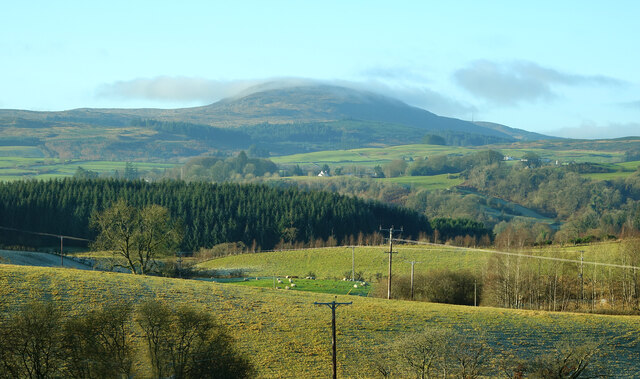
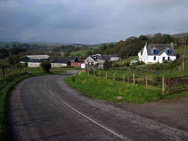
Kate's Hill is a prominent hill located in the region of Kirkcudbrightshire, Scotland. With an elevation of approximately 100 meters (328 feet), it offers breathtaking panoramic views of the surrounding landscape and the town of Kirkcudbright. Situated to the east of the town, the hill is easily accessible and attracts visitors from both the local community and tourists.
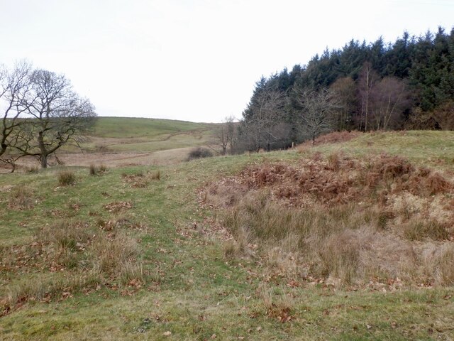
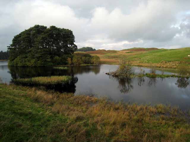
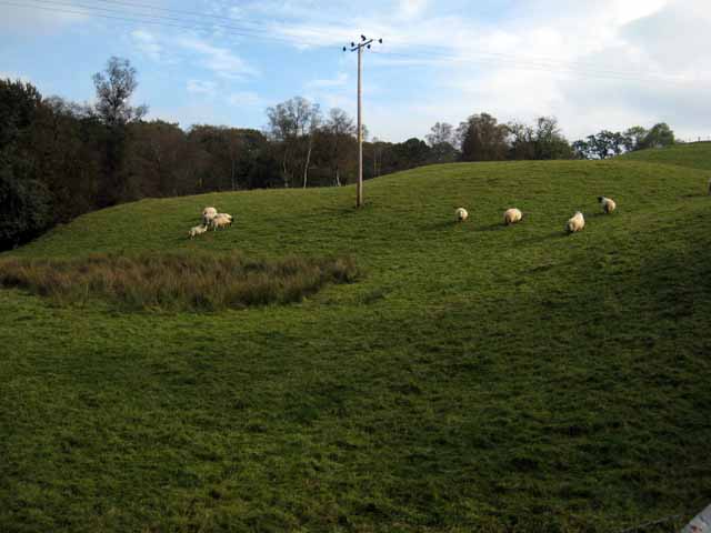
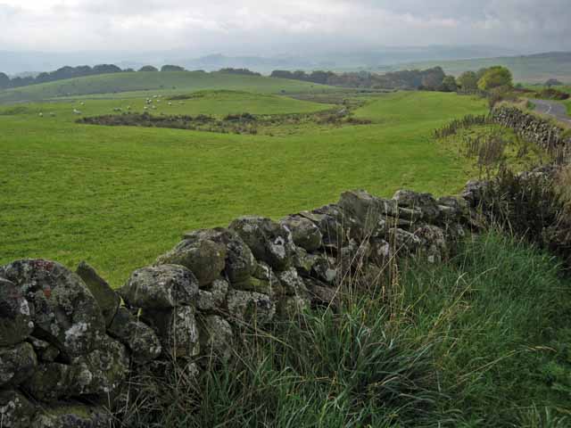
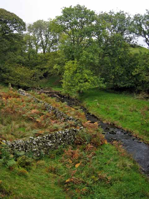
The hill is covered with lush green vegetation, consisting of a mix of grasses, heather, and various trees such as oak and birch. This natural environment provides a habitat for a diverse range of wildlife, including birds, small mammals, and insects. Nature enthusiasts often explore the hill, taking pleasure in observing and identifying the local flora and fauna.
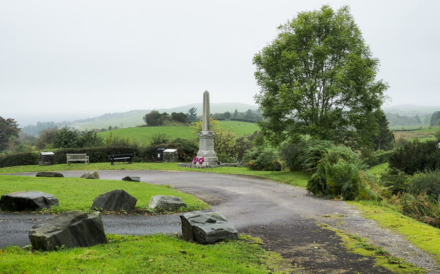
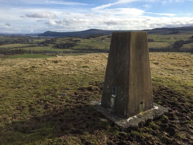
At the summit of Kate's Hill, there is a stone structure known as the "Kate's Hill Monument" or "Kate's Folly." This monument was built in honor of Lady Catherine Maxwell, a prominent figure in Kirkcudbrightshire's history. The structure, resembling a miniature castle tower, adds to the charm of the hill and serves as a landmark visible from afar.
Visitors to Kate's Hill can enjoy various outdoor activities, including hiking, walking, and picnicking. The well-maintained paths and trails make it an ideal location for a leisurely stroll or a more challenging hike. The hill's proximity to Kirkcudbright allows for easy access to amenities such as parking, cafes, and visitor information centers, making it a popular destination for both locals and tourists seeking a peaceful and scenic retreat.
If you have any feedback on the listing, please let us know in the comments section below.
Kate's Hill Images
Images are sourced within 2km of 55.104606/-4.1175935 or Grid Reference NX6480. Thanks to Geograph Open Source API. All images are credited.


Kate's Hill is located at Grid Ref: NX6480 (Lat: 55.104606, Lng: -4.1175935)
Unitary Authority: Dumfries and Galloway
Police Authority: Dumfries and Galloway
What 3 Words
///display.bounding.commuted. Near Castle Douglas, Dumfries & Galloway
Nearby Locations
Related Wikis

Barscobe Castle
Barscobe Castle is a 17th-century tower house in Balmaclellan, Kirkcudbrightshire, Scotland. It is a typical house of a country laird, and according to...

Balmaclellan
Balmaclellan (Scottish Gaelic: Baile Mac-a-ghille-dhiolan, meaning town of the MacLellans) is a small hillside village of stone houses with slate roofs...

Ken Bridge
The Ken Bridge is a road bridge about 0.8 kilometres (0.5 mi) north east of New Galloway in Dumfries and Galloway, Scotland, which carries the A712 road...

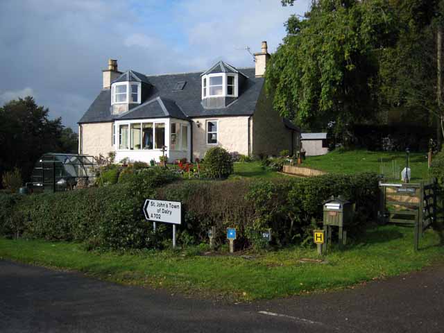
St John's Town of Dalry
St John's Town of Dalry (Scottish Gaelic: Clachan Eòin), usually referred to simply as Dalry (/dæl'raɪ/ / 'dal-RYE'), is a village in Dumfries and Galloway...

Kells, Dumfries and Galloway
Kells parish, in the Stewartry of Kirkcudbright in Scotland, is located 14 miles (NWbN) from Castle-Douglas, and 19 miles (NbW) from Kirkcudbright. It...

New Galloway
New Galloway (Scottish Gaelic: Gall-Ghàidhealaibh Nuadh) is a town in the historical county of Kirkcudbrightshire in Dumfries and Galloway. It lies on...

New Galloway Town Hall
The New Galloway Town Hall is a municipal building in Dumfries and Galloway, Scotland, situated on the town's high street. A tolbooth has existed on the...

Lochinvar
Lochinvar (or Lan Var) is a loch in the civil parish of Dalry in the historic county of Kirkcudbrightshire, Dumfries and Galloway Scotland. It is located...
Nearby Amenities
Located within 500m of 55.104606,-4.1175935Have you been to Kate's Hill?
Leave your review of Kate's Hill below (or comments, questions and feedback).