Augustus Wood

Wood, Forest in Kirkcudbrightshire

Scotland

Augustus Wood

War memorial above Balmaclellan Balmaclellan's war memorial is on the north side of the A712 above the small settlement which is out of view.
War memorial above Balmaclellan Credit: Trevor Littlewood

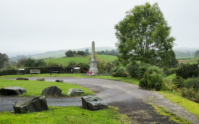
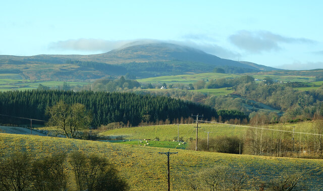
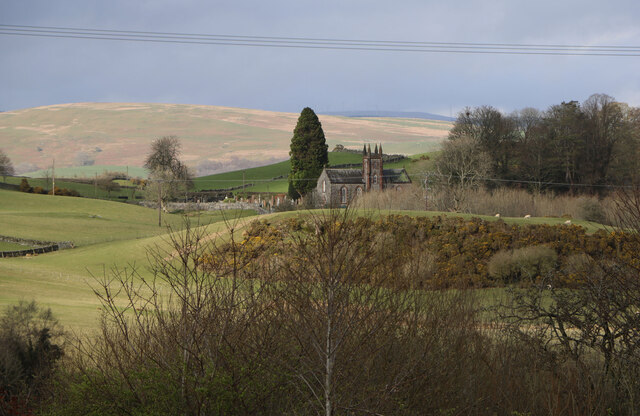
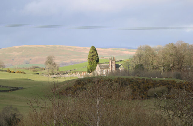
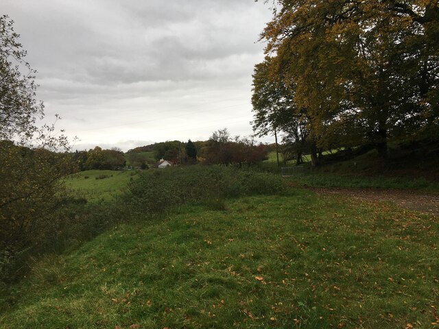
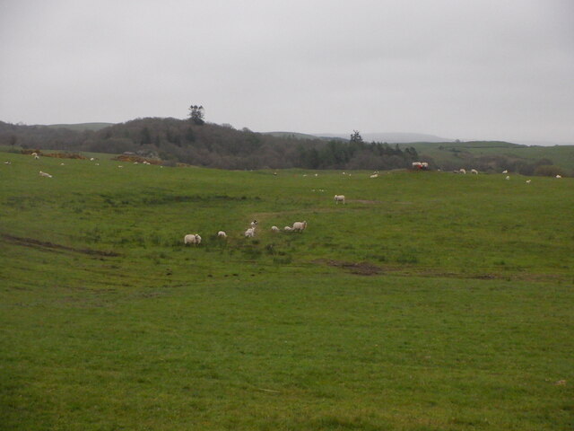
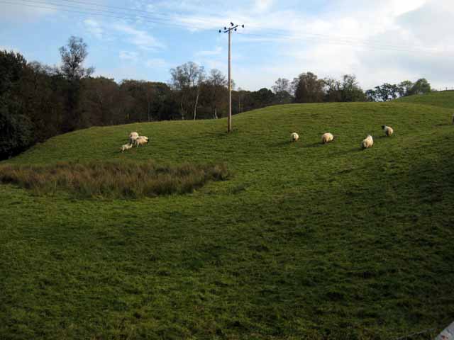
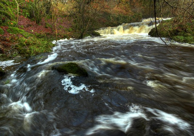
Augustus Wood, located in the historic county of Kirkcudbrightshire, Scotland, is a picturesque forest renowned for its natural beauty and rich biodiversity. Spanning over an extensive area, this woodland is a haven for nature enthusiasts, hikers, and those seeking tranquility amidst the stunning Scottish countryside.

Augustus Wood boasts an ancient and diverse ecosystem, with a variety of tree species including oak, beech, and birch. The lush vegetation provides a vibrant habitat for numerous wildlife species, making it a prime destination for birdwatchers and wildlife photographers. Visitors may spot red squirrels, roe deer, and a plethora of bird species, including woodpeckers and owls.

The woodland offers several well-maintained walking trails, allowing visitors to explore its enchanting surroundings. The paths wind through dense clusters of trees, offering shade and shelter even on warmer days. The forest floor is adorned with a carpet of wildflowers during spring, adding bursts of color to the already stunning landscape.

Augustus Wood is not only a natural sanctuary but also plays a significant role in the conservation of the local environment. It is actively managed by dedicated forestry experts who ensure the preservation and sustainable management of this precious resource.

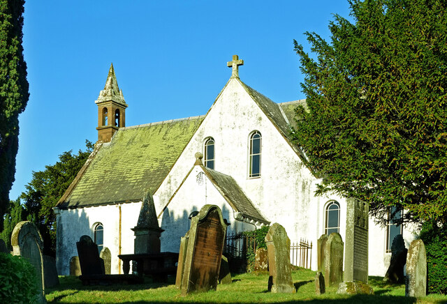
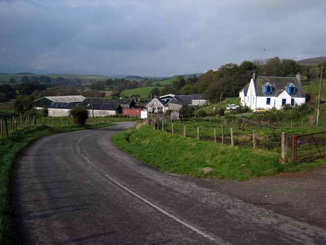
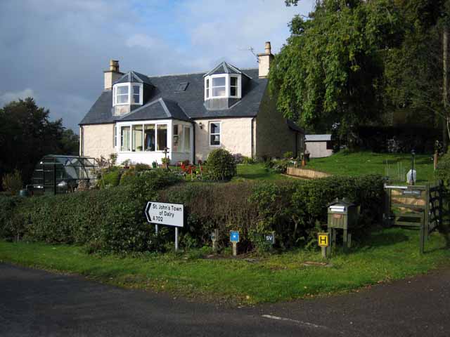
Visitors to Augustus Wood can enjoy a peaceful retreat in a serene environment. The forest's proximity to other local attractions, such as charming villages and historical sites, adds to its appeal as a must-visit destination in Kirkcudbrightshire.

If you have any feedback on the listing, please let us know in the comments section below.

Augustus Wood Images

Images are sourced within 2km of 55.090257/-4.1183235 or Grid Reference NX6479. Thanks to Geograph Open Source API. All images are credited.

War memorial above Balmaclellan Balmaclellan's war memorial is on the north side of the A712 above the small settlement which is out of view.
War memorial above Balmaclellan
Balmaclellan's war memorial is on the north side of the A712 above the small settlement which is out of view.
Balmaclellan Church Many of these churches in small rural communities have monthly Sunday services. Balmaclellan’s turn is the first Sunday of each month.
Balmaclellan Church
Many of these churches in small rural communities have monthly Sunday services. Balmaclellan’s turn is the first Sunday of each month.
Balmaclellan Graveyard The gravestones show that this is a very old religious site with burials recorded in the early 18th century.
Balmaclellan Graveyard
The gravestones show that this is a very old religious site with burials recorded in the early 18th century.
Balmaclellan Graveyard view There can’t be many churches that enjoy such a wonderful view of the local countryside. Mulloch Hill is shown on the skyline.
Balmaclellan Graveyard view
There can’t be many churches that enjoy such a wonderful view of the local countryside. Mulloch Hill is shown on the skyline.
Kells Parish Church, New Galloway Viewed from the Old Edinburgh Road.
Kells Parish Church, New Galloway
Viewed from the Old Edinburgh Road.
Kells Parish Church in Sunlight Viewed from the Old Edinburgh Road.
Kells Parish Church in Sunlight
Viewed from the Old Edinburgh Road.
Dalarran Standing Stone The standing stone of Dalarran.
Dalarran Standing Stone
The standing stone of Dalarran.
Farmland near Garplefoot
Parking area beside the A713 near New Galloway
Sheep, Court Knowe
Sheep, Court Knowe
Field with sheep above the Garple Burn Seen from the B7075 Bogue to New Galloway road.
Field with sheep above the Garple Burn
Seen from the B7075 Bogue to New Galloway road.
Bogue Farm Seen on the A702 New Galloway to Thornhill road.
Bogue Farm
Seen on the A702 New Galloway to Thornhill road.
Bogue Toll Old tollhouse on the A 702 road from Thornhill to St John's Town of Dalry.
Bogue Toll
Old tollhouse on the A 702 road from Thornhill to St John's Town of Dalry.
Old Road Sign. Warning sign giving advance notice of the narrow bridge spanning the Garple Burn.
Old Road Sign.
Warning sign giving advance notice of the narrow bridge spanning the Garple Burn.
Holy Linn, Garple Burn. In Covenanting times this waterfall was used for baptism, hence the name.
Holy Linn, Garple Burn.
In Covenanting times this waterfall was used for baptism, hence the name.
Track leading towards Barscobe, Balmaclellan.
Holy Linn Waterfall, During Flood Conditions
Holy Linn Waterfall, Downstream
Show me another place!

Augustus Wood is located at Grid Ref: NX6479 (Lat: 55.090257, Lng: -4.1183235)

Unitary Authority: Dumfries and Galloway

Police Authority: Dumfries and Galloway

What 3 Words

///splat.crops.songbook. Near Castle Douglas, Dumfries & Galloway

Related Wikis

Balmaclellan

Balmaclellan (Scottish Gaelic: Baile Mac-a-ghille-dhiolan, meaning town of the MacLellans) is a small hillside village of stone houses with slate roofs...

Ken Bridge

The Ken Bridge is a road bridge about 0.8 kilometres (0.5 mi) north east of New Galloway in Dumfries and Galloway, Scotland, which carries the A712 road...

Barscobe Castle

Barscobe Castle is a 17th-century tower house in Balmaclellan, Kirkcudbrightshire, Scotland. It is a typical house of a country laird, and according to...

Kells, Dumfries and Galloway

Kells parish, in the Stewartry of Kirkcudbright in Scotland, is located 14 miles (NWbN) from Castle-Douglas, and 19 miles (NbW) from Kirkcudbright. It...

Nearby Amenities

Located within 500m of 55.090257,-4.1183235
Village
Naptan AtcoCode: 680000078333
Naptan Bearing: NW
Naptan BusStopType: CUS
Naptan CommonName: Village
Naptan Indicator: Post Office
Naptan Landmark: Post Office
Naptan NaptanCode: 34235959
Naptan Notes: none
Naptan Street: Main Street
Naptan Verified: no
Source: naptan_import
Lat/Long: 55.0878612/-4.1132265
Village
Naptan AtcoCode: 680000078444
Naptan Bearing: SE
Naptan BusStopType: CUS
Naptan CommonName: Village
Naptan Indicator: opp PO
Naptan Landmark: Post Office
Naptan NaptanCode: 34235962
Naptan Notes: none
Naptan Street: Main Street
Naptan Verified: no
Source: naptan_import
Lat/Long: 55.0879202/-4.1131499
Shop: yes
Lat/Long: 55.0884261/-4.1121397
Balmaclellan
Name Gd: Baile MhicIllFhaolain
Place: village
Wikidata: Q4852330
Wikipedia: en:Balmaclellan
Lat/Long: 55.0883188/-4.111767
Moat Hill
Natural: peak
Lat/Long: 55.0898691/-4.1133952
Power: pole
Lat/Long: 55.0901951/-4.1120825
Power: pole
Lat/Long: 55.0901227/-4.1133249
Power: pole
Lat/Long: 55.0892704/-4.1115117
Power: pole
Lat/Long: 55.0900103/-4.1147211
Power: pole
Lat/Long: 55.0899022/-4.1162011
Power: pole
Lat/Long: 55.0904118/-4.1108679
Power: pole
Lat/Long: 55.0891681/-4.1158718
Power: pole
Lat/Long: 55.0886497/-4.1162616
Power: pole
Lat/Long: 55.0881065/-4.116673
Power: pole
Lat/Long: 55.0908451/-4.1166333
Power: pole
Lat/Long: 55.0917579/-4.1171096
Power: pole
Lat/Long: 55.0924476/-4.1174741
Power: pole
Lat/Long: 55.0871936/-4.1173731
Power: pole
Lat/Long: 55.0877678/-4.1148217
Power: pole
Lat/Long: 55.0874683/-4.1160595
Power: pole
Lat/Long: 55.0868466/-4.1187668
Power: pole
Lat/Long: 55.0870116/-4.1195284
Power: pole
Lat/Long: 55.0875726/-4.1199563
Power: pole
Lat/Long: 55.088118/-4.1203939
Power: pole
Lat/Long: 55.0887537/-4.1208361
Power: pole
Lat/Long: 55.089556/-4.1214551
Power: pole
Lat/Long: 55.0893869/-4.1229581
Power: pole
Lat/Long: 55.0892888/-4.1238518
Power: pole
Lat/Long: 55.0892115/-4.1245315
Power: pole
Lat/Long: 55.0890665/-4.1258652
Power: pole
Lat/Long: 55.089699/-4.1207019
Power: pole
Lat/Long: 55.0894902/-4.1200921
Power: pole
Lat/Long: 55.0899473/-4.121373
Power: pole
Lat/Long: 55.0901035/-4.1218502
Power: pole
Lat/Long: 55.0910002/-4.1225443
Power: pole
Lat/Long: 55.0913762/-4.1228901
Power: pole
Lat/Long: 55.0932941/-4.1179203
Power: pole
Lat/Long: 55.0946989/-4.1186628
Power: pole
Lat/Long: 55.0941381/-4.1183617
Waste Basket
Lat/Long: 55.0877947/-4.1185896
Bench
Lat/Long: 55.0878178/-4.1186891
Power: pole
Lat/Long: 55.0864244/-4.1200243
The data included in this document is from www.openstreetmap.org. The data is made available under ODbL.

Have you been to Augustus Wood?

Leave your review of Augustus Wood below (or comments, questions and feedback).