Shaw Hill

Hill, Mountain in Kirkcudbrightshire

Scotland

Shaw Hill

War memorial above Balmaclellan Balmaclellan's war memorial is on the north side of the A712 above the small settlement which is out of view.
War memorial above Balmaclellan Credit: Trevor Littlewood

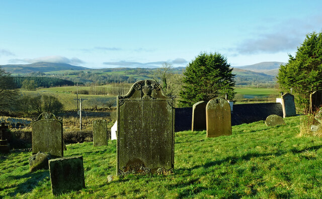
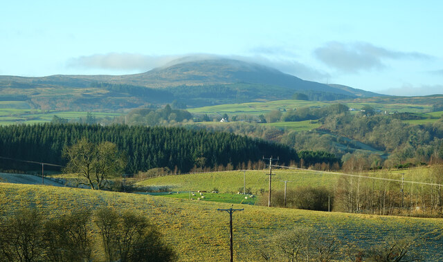
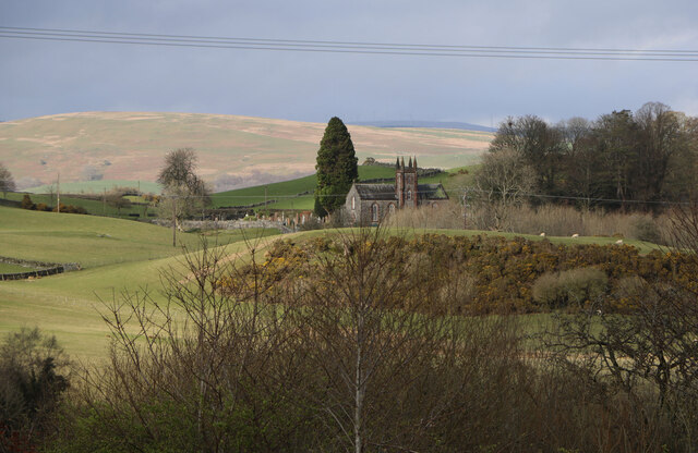
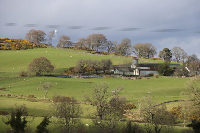
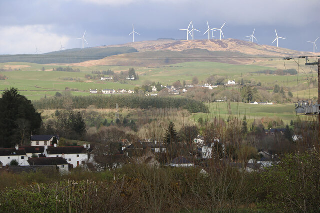
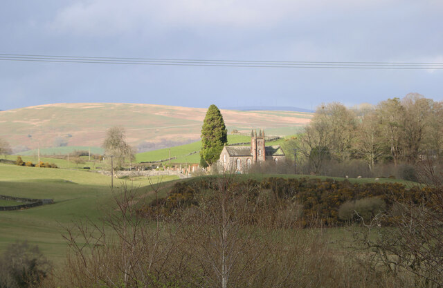
Shaw Hill is a prominent hill located in the region of Kirkcudbrightshire in southwest Scotland. Rising to an elevation of approximately 262 meters (860 feet), it stands as a significant landmark in the area. Situated just northeast of the town of Kirkcudbright, Shaw Hill offers panoramic views of the surrounding countryside, including the rolling hills and farmland that characterize the region.

The hill is primarily composed of sedimentary rocks, with sandstone and mudstone formations dominating its geological composition. Shaw Hill's gentle slopes make it accessible for walkers and hikers, attracting outdoor enthusiasts who seek an enjoyable and relatively easy ascent.

The hill is covered in a mixture of grasses, heather, and scattered trees, providing a diverse habitat for various species of flora and fauna. Observant visitors may spot a variety of birds, such as buzzards and kestrels, soaring overhead. Additionally, the hill offers opportunities for nature exploration, with diverse plant life including wildflowers, ferns, and mosses adorning its slopes.

Shaw Hill has also played a role in local history, with evidence of prehistoric settlements in the surrounding area. Archaeological discoveries suggest that the hill was once inhabited by ancient communities, providing a glimpse into the region's past.

With its picturesque views, diverse wildlife, and historical significance, Shaw Hill is a popular destination for both locals and tourists seeking a tranquil escape in the beautiful countryside of Kirkcudbrightshire.

If you have any feedback on the listing, please let us know in the comments section below.
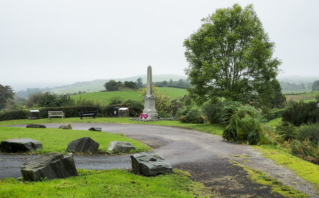
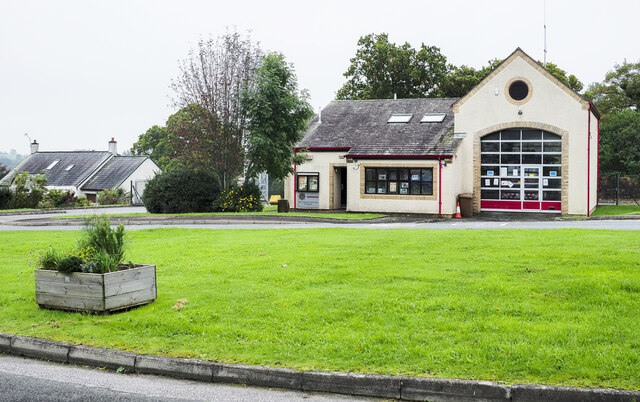
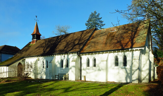
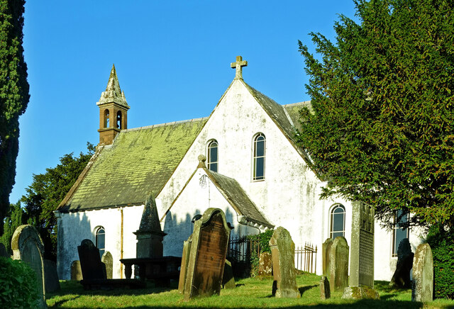
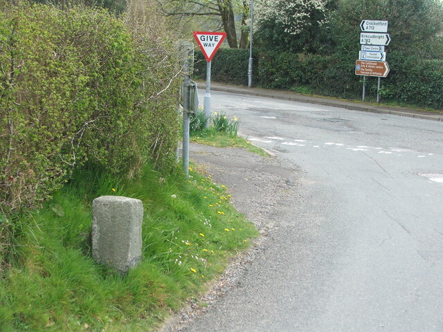
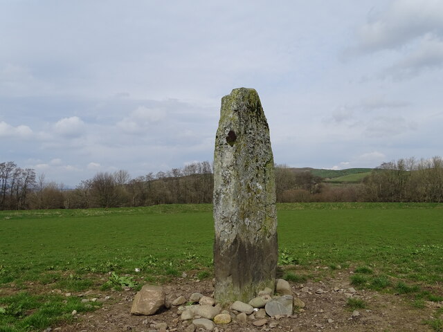
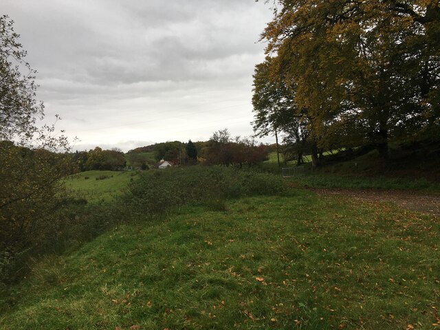
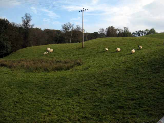
Shaw Hill Images

Images are sourced within 2km of 55.088366/-4.1221254 or Grid Reference NX6479. Thanks to Geograph Open Source API. All images are credited.

War memorial above Balmaclellan Balmaclellan's war memorial is on the north side of the A712 above the small settlement which is out of view.
War memorial above Balmaclellan
Balmaclellan's war memorial is on the north side of the A712 above the small settlement which is out of view.
Fire Station, New Galloway The fire station on the south side of the A712 seen across a lawned area.
Fire Station, New Galloway
The fire station on the south side of the A712 seen across a lawned area.
New Galloway Episcopalian Church Located on the main route into the village from Ken Bridge.
New Galloway Episcopalian Church
Located on the main route into the village from Ken Bridge.
Balmaclellan Church Many of these churches in small rural communities have monthly Sunday services. Balmaclellan’s turn is the first Sunday of each month.
Balmaclellan Church
Many of these churches in small rural communities have monthly Sunday services. Balmaclellan’s turn is the first Sunday of each month.
Balmaclellan Graveyard The gravestones show that this is a very old religious site with burials recorded in the early 18th century.
Balmaclellan Graveyard
The gravestones show that this is a very old religious site with burials recorded in the early 18th century.
Balmaclellan Graveyard view There can’t be many churches that enjoy such a wonderful view of the local countryside. Mulloch Hill is shown on the skyline.
Balmaclellan Graveyard view
There can’t be many churches that enjoy such a wonderful view of the local countryside. Mulloch Hill is shown on the skyline.
Kells Parish Church, New Galloway Viewed from the Old Edinburgh Road.
Kells Parish Church, New Galloway
Viewed from the Old Edinburgh Road.
Viewfield Farm, New Galloway Viewed from the Old Edinburgh Road.
Viewfield Farm, New Galloway
Viewed from the Old Edinburgh Road.
New Galloway Viewed from the Old Edinburgh Road. With a view to a Windfarm.
New Galloway
Viewed from the Old Edinburgh Road. With a view to a Windfarm.
Kells Parish Church in Sunlight Viewed from the Old Edinburgh Road.
Kells Parish Church in Sunlight
Viewed from the Old Edinburgh Road.
Old milestone When railways were constructed across the hills of Kirkcudbright and Wigtonshire the stations were often several miles from the nearest large settlement.   The station for New Galloway was 5 miles to the south along the west bank of Loch Ken and on to Mossdale.    Milestones of this shape are found on several of the roads leading to stations.  From New Galloway it is 5 miles to the station.   This stone is in the village centre near The Smithy Tea Room.
Old milestone
When railways were constructed across the hills of Kirkcudbright and Wigtonshire the stations were often several miles from the nearest large settlement. The station for New Galloway was 5 miles to the south along the west bank of Loch Ken and on to Mossdale. Milestones of this shape are found on several of the roads leading to stations. From New Galloway it is 5 miles to the station. This stone is in the village centre near The Smithy Tea Room.
Old milestone This milestone in the centre of New Galloway on the A712 indicates 24 miles from Dumfries.   It is another 18 miles to Newton Stewart.
Old milestone
This milestone in the centre of New Galloway on the A712 indicates 24 miles from Dumfries. It is another 18 miles to Newton Stewart.
Old milestone The crossroads in New Galloway, with a road north following the Water of Ken for 3 or 4 miles to Earlstoun Loch.   Crocketford is to the east on the way to Dumfries.
Old milestone
The crossroads in New Galloway, with a road north following the Water of Ken for 3 or 4 miles to Earlstoun Loch. Crocketford is to the east on the way to Dumfries.
Dalarran Standing Stone The standing stone of Dalarran.
Dalarran Standing Stone
The standing stone of Dalarran.
Farmland near Garplefoot
Parking area beside the A713 near New Galloway
Field with sheep above the Garple Burn Seen from the B7075 Bogue to New Galloway road.
Field with sheep above the Garple Burn
Seen from the B7075 Bogue to New Galloway road.
Old Road Sign. Warning sign giving advance notice of the narrow bridge spanning the Garple Burn.
Old Road Sign.
Warning sign giving advance notice of the narrow bridge spanning the Garple Burn.
Show me another place!

Shaw Hill is located at Grid Ref: NX6479 (Lat: 55.088366, Lng: -4.1221254)

Unitary Authority: Dumfries and Galloway

Police Authority: Dumfries and Galloway

What 3 Words

///exactly.guitar.splints. Near Castle Douglas, Dumfries & Galloway

Related Wikis

Balmaclellan

Balmaclellan (Scottish Gaelic: Baile Mac-a-ghille-dhiolan, meaning town of the MacLellans) is a small hillside village of stone houses with slate roofs...

Ken Bridge

The Ken Bridge is a road bridge about 0.8 kilometres (0.5 mi) north east of New Galloway in Dumfries and Galloway, Scotland, which carries the A712 road...

Kells, Dumfries and Galloway

Kells parish, in the Stewartry of Kirkcudbright in Scotland, is located 14 miles (NWbN) from Castle-Douglas, and 19 miles (NbW) from Kirkcudbright. It...

Barscobe Castle

Barscobe Castle is a 17th-century tower house in Balmaclellan, Kirkcudbrightshire, Scotland. It is a typical house of a country laird, and according to...

New Galloway

New Galloway (Scottish Gaelic: Gall-Ghàidhealaibh Nuadh) is a town in the historical county of Kirkcudbrightshire in Dumfries and Galloway. It lies on...

New Galloway Town Hall

The New Galloway Town Hall is a municipal building in Dumfries and Galloway, Scotland, situated on the town's high street. A tolbooth has existed on the...

Kenmure Castle

Kenmure Castle is a fortified house or castle in The Glenkens, 1 mile (1.6 km) south of the town of New Galloway in Kirkcudbrightshire, Galloway, south...

Water of Ken

The Water of Ken is a river in the historical county of Kirkcudbrightshire in Galloway, south-west Scotland. It rises on Blacklorg Hill, north-east of...

Nearby Amenities

Located within 500m of 55.088366,-4.1221254
Power: pole
Lat/Long: 55.0899022/-4.1162011
Power: pole
Lat/Long: 55.0891681/-4.1158718
Power: pole
Lat/Long: 55.0886497/-4.1162616
Power: pole
Lat/Long: 55.0881065/-4.116673
Power: pole
Lat/Long: 55.0908451/-4.1166333
Power: pole
Lat/Long: 55.0917579/-4.1171096
Power: pole
Lat/Long: 55.0871936/-4.1173731
Power: pole
Lat/Long: 55.0877678/-4.1148217
Power: pole
Lat/Long: 55.0874683/-4.1160595
Power: pole
Lat/Long: 55.0868466/-4.1187668
Power: pole
Lat/Long: 55.0870116/-4.1195284
Power: pole
Lat/Long: 55.0875726/-4.1199563
Power: pole
Lat/Long: 55.088118/-4.1203939
Power: pole
Lat/Long: 55.0887537/-4.1208361
Power: pole
Lat/Long: 55.089556/-4.1214551
Power: pole
Lat/Long: 55.0893869/-4.1229581
Power: pole
Lat/Long: 55.0892888/-4.1238518
Power: pole
Lat/Long: 55.0892115/-4.1245315
Power: pole
Lat/Long: 55.0890665/-4.1258652
Power: pole
Lat/Long: 55.0890022/-4.1263811
Power: pole
Lat/Long: 55.0889102/-4.1273157
Power: pole
Lat/Long: 55.0887539/-4.1285796
Power: pole
Lat/Long: 55.0886288/-4.1296417
Power: pole
Lat/Long: 55.089699/-4.1207019
Power: pole
Lat/Long: 55.0894902/-4.1200921
Power: pole
Lat/Long: 55.0899473/-4.121373
Power: pole
Lat/Long: 55.0901035/-4.1218502
Power: pole
Lat/Long: 55.0910002/-4.1225443
Power: pole
Lat/Long: 55.0913762/-4.1228901
Waste Basket
Lat/Long: 55.0877947/-4.1185896
Bench
Lat/Long: 55.0878178/-4.1186891
Power: pole
Lat/Long: 55.0841005/-4.1219239
Power: pole
Lat/Long: 55.0847686/-4.1213738
Power: pole
Lat/Long: 55.0852694/-4.1209517
Power: pole
Lat/Long: 55.0858002/-4.1205049
Power: pole
Lat/Long: 55.0864244/-4.1200243
The data included in this document is from www.openstreetmap.org. The data is made available under ODbL.

Have you been to Shaw Hill?

Leave your review of Shaw Hill below (or comments, questions and feedback).