Ferry Wood
Wood, Forest in Sutherland
Scotland
Ferry Wood

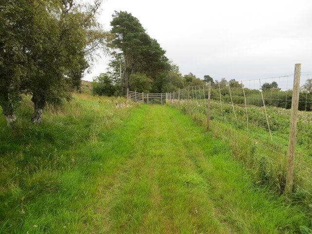
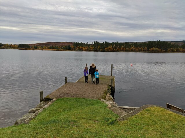
Ferry Wood is a small woodland area located in the county of Sutherland, Scotland. Spread over an approximate area of about 30 acres, this beautiful forest is nestled amidst the picturesque landscape of the Scottish Highlands. The wood is situated near the village of Bonar Bridge, on the eastern bank of the Kyle of Sutherland, a stunning sea loch that stretches inland from the North Sea.
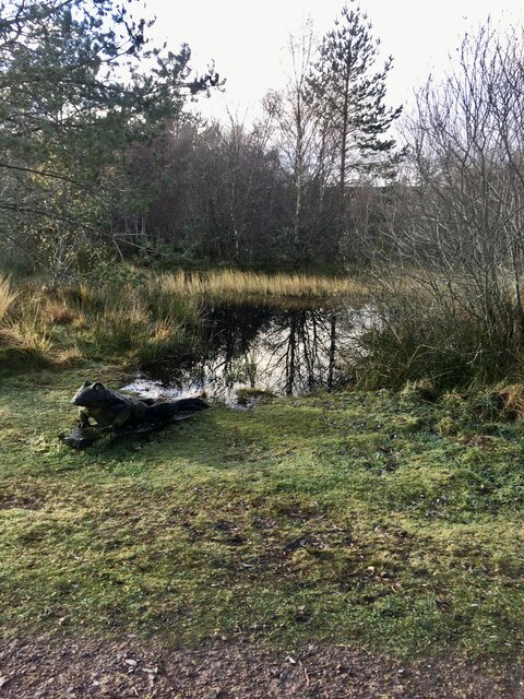
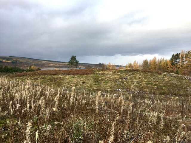
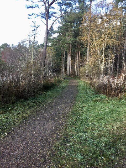
Ferry Wood is predominantly composed of native broadleaf trees, including oak, birch, and rowan, which create a diverse and vibrant ecosystem. The forest floor is covered with a lush carpet of ferns, mosses, and wildflowers, adding to its natural charm. The woodland is also home to a variety of wildlife, such as red deer, foxes, and numerous species of birds, making it a popular spot for nature enthusiasts and birdwatchers.
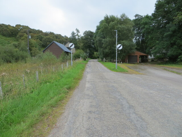
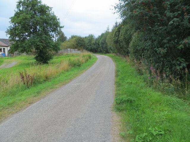
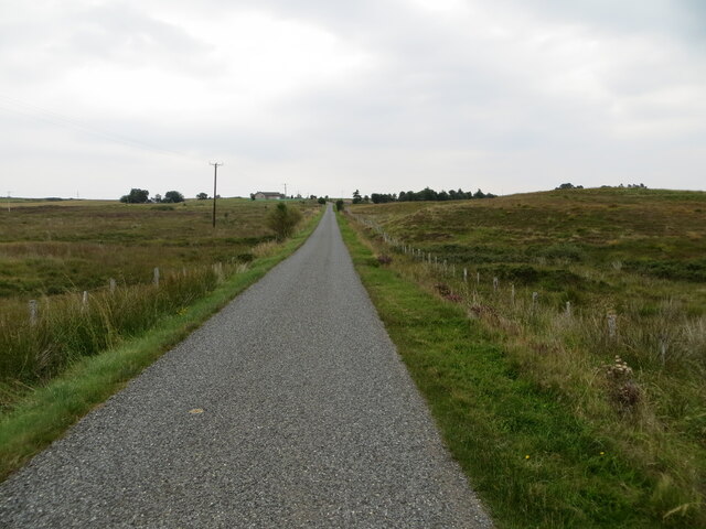
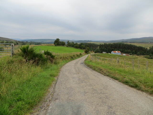
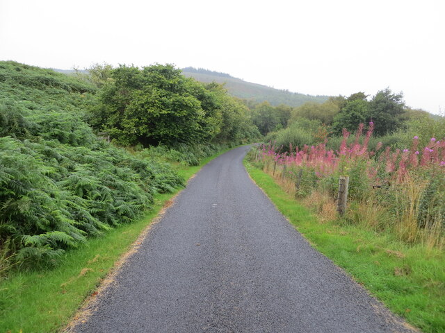
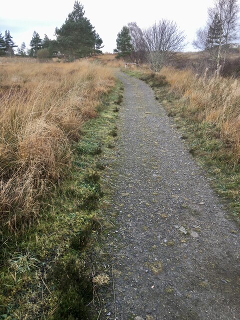
The wood is crisscrossed by several well-maintained footpaths, allowing visitors to explore its enchanting surroundings. As one wanders through the forest, the calming sound of the nearby river and the delightful fragrance of the woodland flora create a tranquil and serene atmosphere. The paths lead to a small, secluded beach on the Kyle of Sutherland, providing breathtaking views of the surrounding hills and the shimmering water.
Ferry Wood offers a peaceful escape from the hustle and bustle of urban life, providing a perfect setting for leisurely walks, picnics, and photography. Its natural beauty, combined with its accessibility and proximity to nearby attractions, makes it a popular destination for locals and tourists alike. Whether one seeks solitude, seeks to reconnect with nature, or simply desires to immerse themselves in the stunning Scottish countryside, Ferry Wood offers an idyllic retreat.
If you have any feedback on the listing, please let us know in the comments section below.
Ferry Wood Images
Images are sourced within 2km of 58.024332/-4.4124385 or Grid Reference NC5706. Thanks to Geograph Open Source API. All images are credited.


Ferry Wood is located at Grid Ref: NC5706 (Lat: 58.024332, Lng: -4.4124385)
Unitary Authority: Highland
Police Authority: Highlands and Islands
What 3 Words
///scoop.princely.revamping. Near Lairg, Highland
Nearby Locations
Related Wikis

Lairg
Lairg (Scottish Gaelic: An Luirg, meaning "the shank/shin") is a village and parish in Sutherland, Scotland. It has a population of 891 and is at the south...

Lairg Gravity Low
The Lairg gravity low is a possible impact crater in Scotland about 40 kilometres in diameter, with a centre near the town of Lairg in the Scottish Highlands...
Saval
Saval (Scottish Gaelic: Sàbhal) is a small remote hamlet, surrounded by Dalchork Wood, 1.5 miles northeast of the village of Lairg, in Sutherland, Scottish...
Gruids
Gruids (Scottish Gaelic: Na Grùidean) is a small remote hamlet, in the council area of Highland, Scotland. == Geography == The village of Lairg which lies...
Nearby Amenities
Located within 500m of 58.024332,-4.4124385Have you been to Ferry Wood?
Leave your review of Ferry Wood below (or comments, questions and feedback).