Eilean a' Chairn

Island in Sutherland

Scotland

Eilean a' Chairn

Frosty Fields at Saval, near Lairg, Sutherland
Frosty Fields at Saval, near Lairg, Sutherland Credit: Andrew Tryon

Eilean a' Chairn is a small uninhabited island located off the north coast of Sutherland in Scotland. It is situated in the Durness parish and lies within the Loch Eriboll bay. This rocky island covers an area of approximately 0.3 hectares and is characterized by its unique geological features.

The island is composed of Torridonian sandstone, which is a type of red sandstone common in the region. It features steep cliffs and rugged terrain, making it an ideal nesting site for various seabirds such as guillemots and razorbills. The surrounding waters are also rich in marine life, attracting seals and dolphins.

Eilean a' Chairn translates to "island of the cairn" in Gaelic, which refers to the prominent cairn located on its highest point. The cairn is believed to have been built by early inhabitants of the island, possibly as a navigational marker or a religious monument.

Due to its remote location and lack of facilities, Eilean a' Chairn is not easily accessible to the public. However, it can be admired from the mainland or explored by boat. The island offers breathtaking views of the surrounding coastline, with its dramatic cliffs and the vast expanse of the North Atlantic Ocean.

Eilean a' Chairn serves as a reminder of the untamed beauty of Scotland's northern coast and its rich natural heritage.

If you have any feedback on the listing, please let us know in the comments section below.

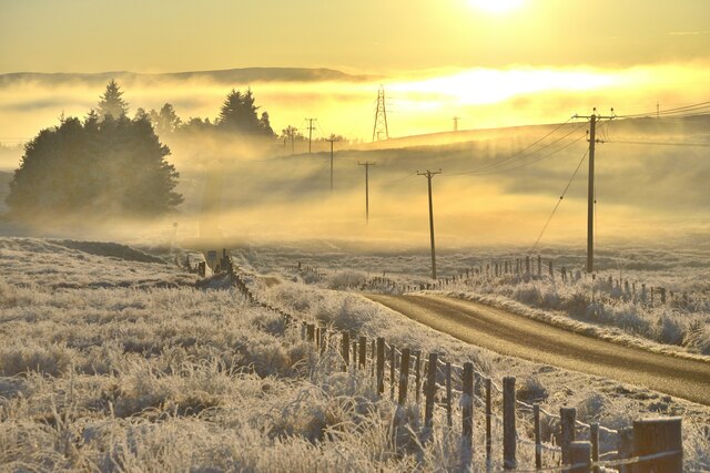
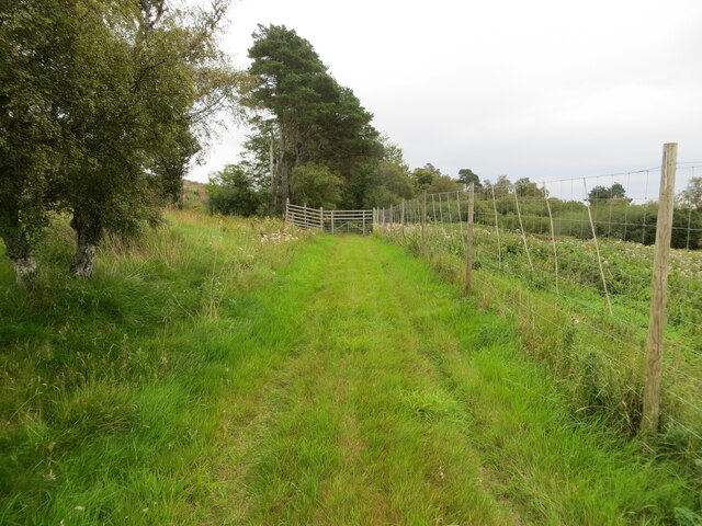
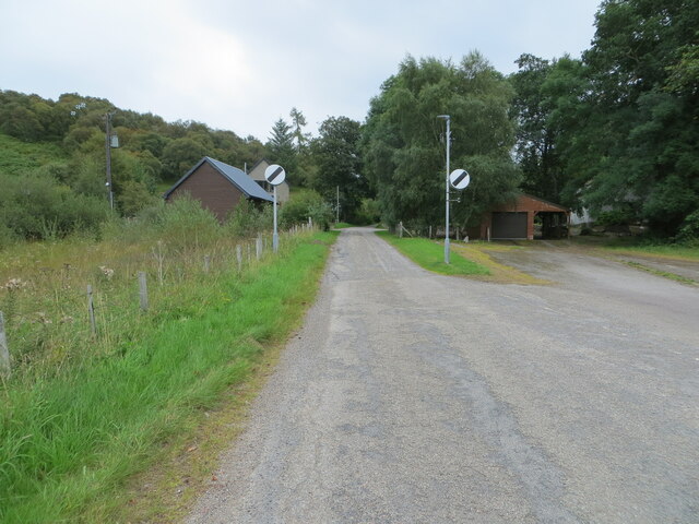
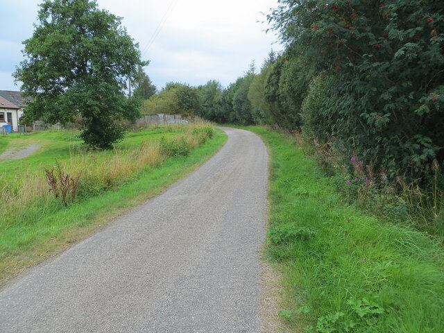
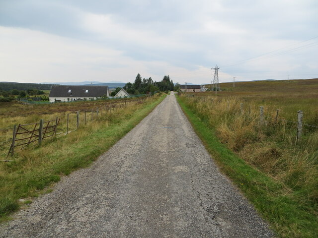
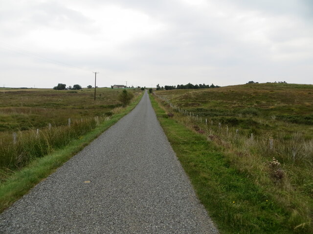
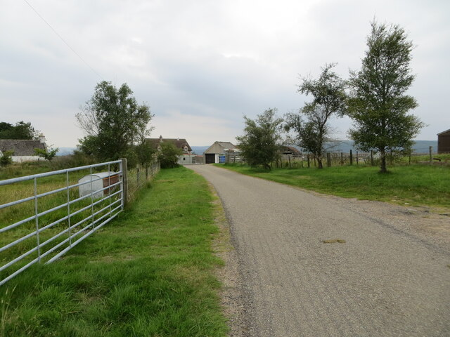
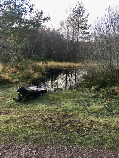
Eilean a' Chairn Images

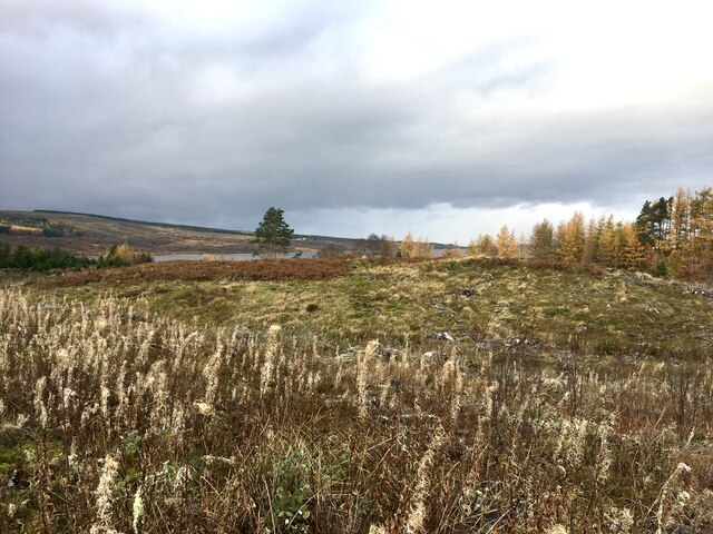
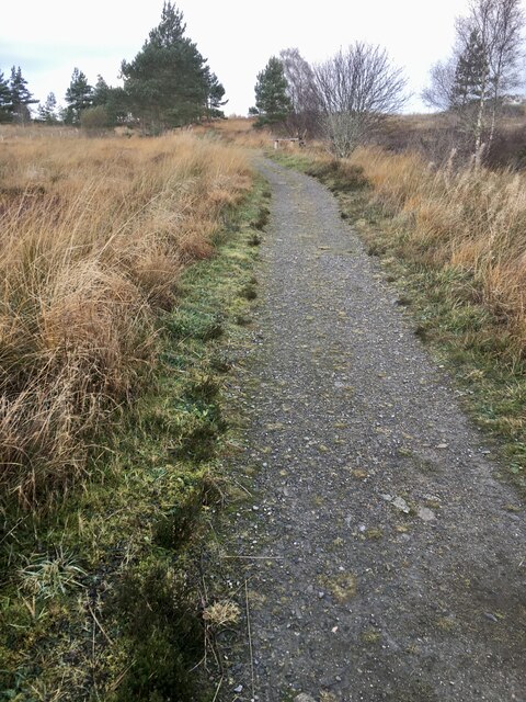
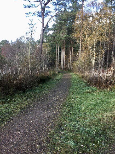
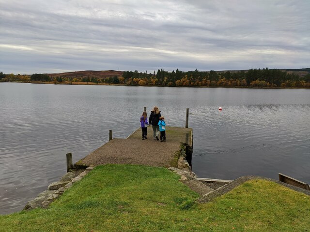
Images are sourced within 2km of 58.027986/-4.4112111 or Grid Reference NC5706. Thanks to Geograph Open Source API. All images are credited.

Frosty Fields at Saval, near Lairg, Sutherland
Forest road exit by Lairg
Tree-lined road (A836) heading in the direction of Lairg Looking southward.
Tree-lined road (A836) heading in the direction of Lairg
Looking southward.
Tree-lined road (A836) heading northward from Lairg Looking northward.
Tree-lined road (A836) heading northward from Lairg
Looking northward.
Grass track that gives access to Lairg Lodge Looking south-eastward.
Grass track that gives access to Lairg Lodge
Looking south-eastward.
Minor road to Lairg Muir and Saval Looking eastward.
Minor road to Lairg Muir and Saval
Looking eastward.
Road at Ord Place, Lairg Looking south-westward.
Road at Ord Place, Lairg
Looking south-westward.
Minor road between Saval and Lairg Looking south-westward.
Minor road between Saval and Lairg
Looking south-westward.
Fence-lined minor road between Lairg Muir and Saval Looking north-eastward.
Fence-lined minor road between Lairg Muir and Saval
Looking north-eastward.
The end of the public road at Savalmore and Saval West Looking south-westward.
The end of the public road at Savalmore and Saval West
Looking south-westward.
Road (A839) heading in the direction of Claonel Looking south-westward.
Road (A839) heading in the direction of Claonel
Looking south-westward.
Small wildlife pond At the start of several walks in Ferry Wood, Lairg.
Small wildlife pond
At the start of several walks in Ferry Wood, Lairg.
View West From one of the paths around Ferry Wood. Just in the middle ground a part of Loch Shin is visible.
View West
From one of the paths around Ferry Wood. Just in the middle ground a part of Loch Shin is visible.
Path in Ferry Wood.
Path in Ferry Wood.
Start of one of the walks in Ferry Wood, Lairg.
View East across Little Loch Shin There is a Hydro Electric dam at the head of Little Loch Shin. Separating it from the much larger Loch Shin.
View East across Little Loch Shin
There is a Hydro Electric dam at the head of Little Loch Shin. Separating it from the much larger Loch Shin.
Little Loch Shin With our Cocker Spaniel happily waiting in the cold water!
Little Loch Shin
With our Cocker Spaniel happily waiting in the cold water!
Pier outside The Pier restaurant, looking over Little Loch Shin
Show me another place!

Eilean a' Chairn is located at Grid Ref: NC5706 (Lat: 58.027986, Lng: -4.4112111)

Unitary Authority: Highland

Police Authority: Highlands and Islands

What 3 Words

///exposing.scanty.cuddled. Near Lairg, Highland

Related Wikis

Lairg

Lairg (Scottish Gaelic: An Luirg, meaning "the shank/shin") is a village and parish in Sutherland, Scotland. It has a population of 891 and is at the south...

Lairg Gravity Low

The Lairg gravity low is a possible impact crater in Scotland about 40 kilometres in diameter, with a centre near the town of Lairg in the Scottish Highlands...

Saval

Saval (Scottish Gaelic: Sàbhal) is a small remote hamlet, surrounded by Dalchork Wood, 1.5 miles northeast of the village of Lairg, in Sutherland, Scottish...

Gruids

Gruids (Scottish Gaelic: Na Grùidean) is a small remote hamlet, in the council area of Highland, Scotland. == Geography == The village of Lairg which lies...

Nearby Amenities

Located within 500m of 58.027986,-4.4112111
Post Box
Brand: Royal Mail
Brand Wikidata: Q638098
Mapillary: 310206044565452
Operator: Royal Mail
Operator Wikidata: Q638098
Post Box Mounting: pier
Post Box Type: lamp
Postal Code: IV27
Ref: IV27 1
Survey Date: 2022-06-19
Lat/Long: 58.0274436/-4.4039639
Parking
Lat/Long: 58.0269623/-4.4034176
Power: pole
Lat/Long: 58.0294835/-4.4122826
Power: pole
Lat/Long: 58.0299362/-4.4114411
Power: pole
Lat/Long: 58.0308708/-4.4097856
Power: pole
Lat/Long: 58.0309364/-4.4060872
Power: pole
Lat/Long: 58.0296053/-4.4120225
Power: pole
Lat/Long: 58.0309132/-4.4072981
Power: pole
Lat/Long: 58.0308893/-4.4085491
Power: pole
Lat/Long: 58.0304057/-4.4106204
Lochside
Place: locality
Lat/Long: 58.0284299/-4.4036631
The data included in this document is from www.openstreetmap.org. The data is made available under ODbL.

Have you been to Eilean a' Chairn?

Leave your review of Eilean a' Chairn below (or comments, questions and feedback).