Balinoe Wood
Wood, Forest in Ross-shire
Scotland
Balinoe Wood
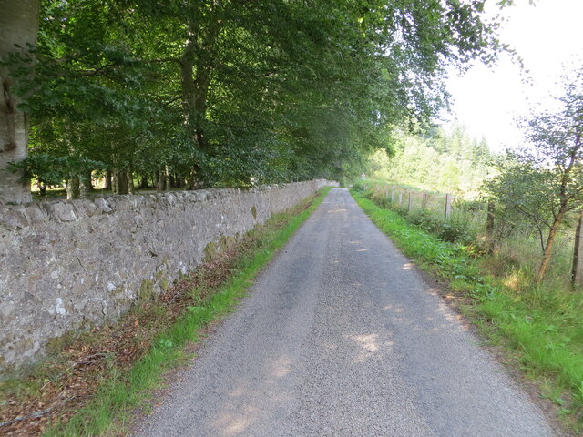
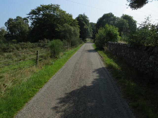
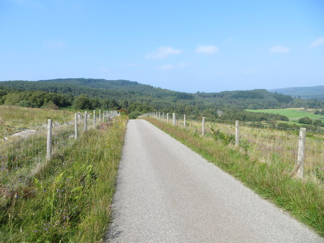
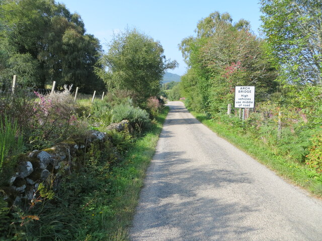
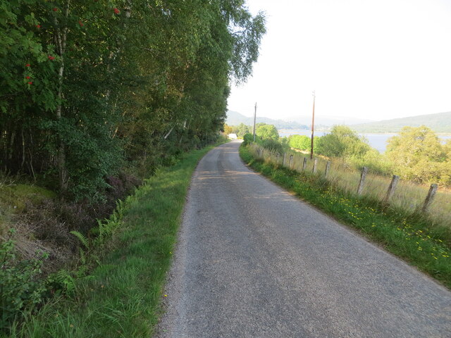
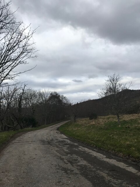
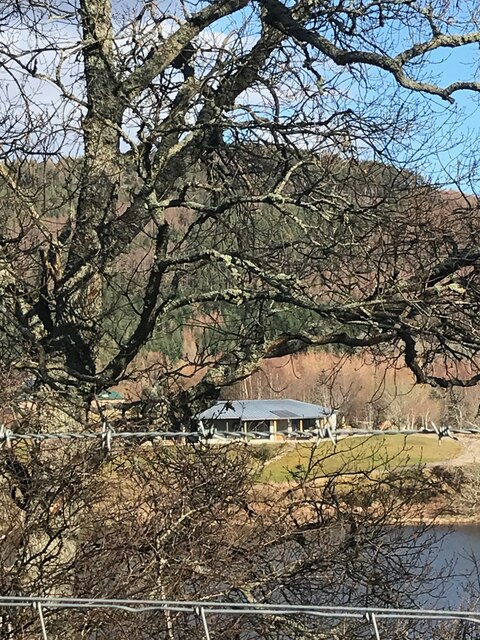
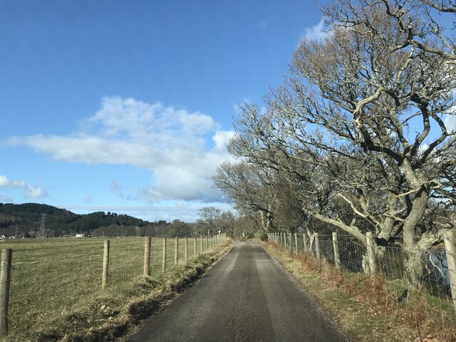
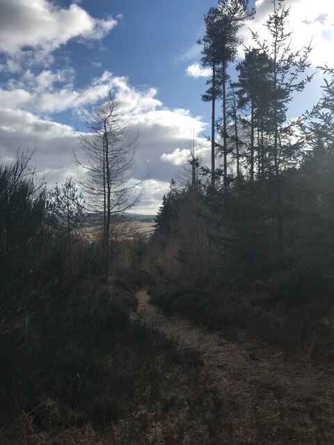
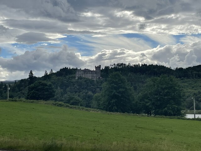
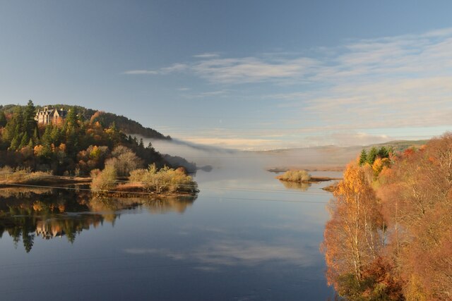
Balinoe Wood is a captivating forest located in Ross-shire, Scotland. Spanning over a vast area, it is renowned for its natural beauty and rich biodiversity. The wood is nestled amidst a picturesque landscape, surrounded by rolling hills and offering breathtaking views of the nearby lochs.
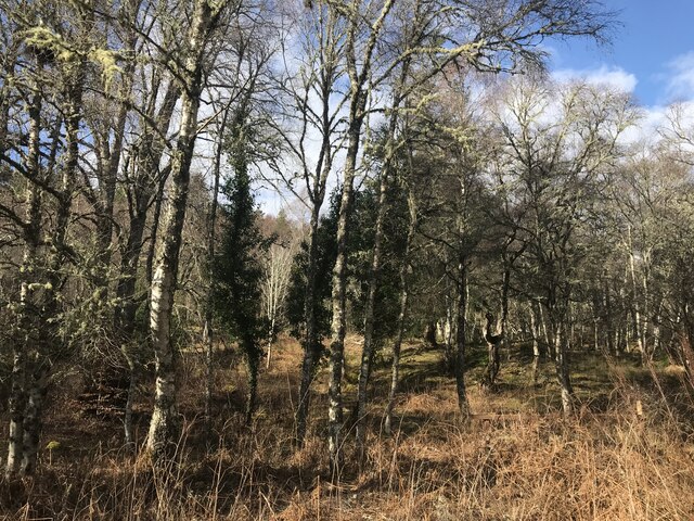
As one enters Balinoe Wood, they are immediately struck by the tranquility and serenity that envelops the area. The forest is predominantly composed of ancient oak and birch trees, creating a dense canopy that provides shade and shelter for a diverse range of flora and fauna. The forest floor is covered with a lush carpet of mosses, ferns, and wildflowers, adding to its enchanting allure.
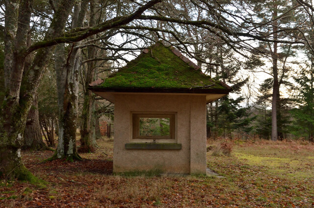
The wood is home to a variety of wildlife, making it a popular destination for nature enthusiasts and birdwatchers. Visitors may spot native species such as red deer, red squirrels, and a wide array of bird species including woodpeckers, owls, and various songbirds. The forest is also known for its vibrant butterfly population, with numerous species fluttering among the trees and flowers.
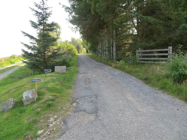
Balinoe Wood offers several walking trails, allowing visitors to explore its hidden treasures at their own pace. From short, leisurely strolls to longer, more challenging hikes, there is something for every level of fitness and interest. Along the way, walkers can enjoy the soothing sound of trickling streams and discover hidden waterfalls that add an extra touch of magic to the wood.
Overall, Balinoe Wood is a captivating and enchanting forest that offers a unique opportunity to immerse oneself in the natural beauty and tranquility of the Scottish countryside.
If you have any feedback on the listing, please let us know in the comments section below.
Balinoe Wood Images
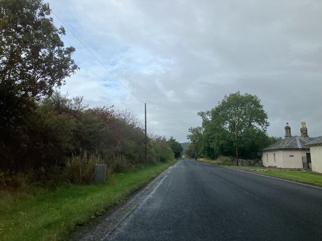
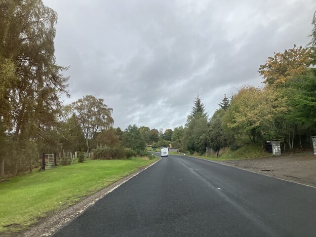
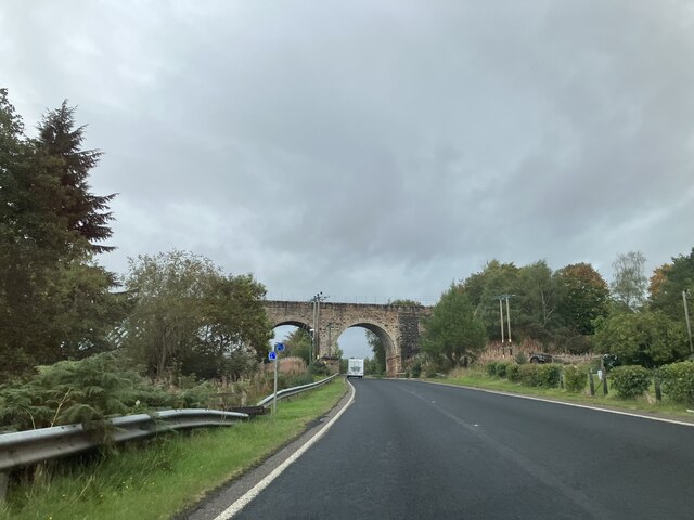
Images are sourced within 2km of 57.90929/-4.4045664 or Grid Reference NH5793. Thanks to Geograph Open Source API. All images are credited.
Balinoe Wood is located at Grid Ref: NH5793 (Lat: 57.90929, Lng: -4.4045664)
Unitary Authority: Highland
Police Authority: Highlands and Islands
What 3 Words
///puns.crunched.journey. Near Lairg, Highland
Nearby Locations
Related Wikis

Culrain
Culrain (Cul Raoin) is a small village in Sutherland, Highland, Scotland. == Location == Culrain lies west of Ardgay, beside the Kyle of Sutherland about...

Culrain railway station
Culrain railway station serves the village of Culrain in Kyle of Sutherland in the Highland council area of Scotland. It is located on the Far North Line...
Battle of Carbisdale
The Battle of Carbisdale (also known as Invercarron) took place close to the village of Culrain, Sutherland, Scotland on 27 April 1650 and was part of...

Shin Railway Viaduct
The Shin Railway Viaduct (also known as the Invershin Viaduct or Oykel Viaduct) is a railway viaduct that crosses the Kyle of Sutherland.The viaduct carries...

Invershin
Invershin (Scottish Gaelic: Inbhir Sin) is a scattered village in the Parish of Creich, 6 miles (10 km) south of Lairg and 4 miles (6.4 km) north of Bonar...

Invershin railway station
Invershin railway station is a railway station in the Highland council area of Scotland. The station is on the Far North Line, 61 miles 34 chains (98.9...

Kyle of Sutherland
The Kyle of Sutherland (Scottish Gaelic: An Caol Catach) is a river estuary that separates Sutherland from Ross-shire. It flows into the Dornoch Firth...

Carbisdale Castle
Carbisdale Castle was built in 1907 for the Duchess of Sutherland on a hill across the Kyle of Sutherland from Invershin in the Scottish Highlands. Until...
Nearby Amenities
Located within 500m of 57.90929,-4.4045664Have you been to Balinoe Wood?
Leave your review of Balinoe Wood below (or comments, questions and feedback).