Barshare Wood
Wood, Forest in Ayrshire
Scotland
Barshare Wood
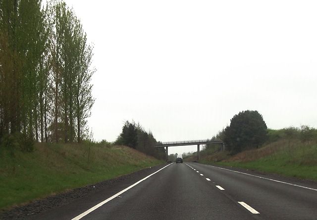
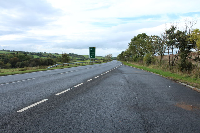
![Site of Cumnock station View SE on the A76 leaving Cumnock, where the ex-Glasgow &amp; South Western line from Ayr via Annbank and Drongan (to the right) - (to the left) Cronberry and Muirkirk used to cross by an overbridge. The station had been on the right: it was closed along with the line Annbank - Drongan - Cronberry from 10/9/51 to passengers, 1/7/59 to goods. (See also <a href="https://www.geograph.org.uk/photo/3233133">NS4024 : Junction at site of Annbank station, 1994</a>). [Apologies for an uninspiring scene].](https://s2.geograph.org.uk/geophotos/03/35/94/3359410_7855e0da.jpg)
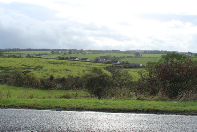
Barshare Wood is a picturesque forest located in the heart of Ayrshire, Scotland. Covering an area of approximately 100 hectares, it is a popular destination for nature enthusiasts and outdoor lovers. The woodland is situated just a few miles away from the town of Cumnock and is easily accessible by road.
The wood is characterized by its diverse and vibrant ecosystem, consisting of a variety of tree species such as Scots pine, birch, oak, and beech. These trees provide a stunning canopy during the summer months and a rich tapestry of colors during autumn, attracting visitors from far and wide.
Exploring Barshare Wood offers a range of activities for visitors of all ages. There are well-maintained paths and trails that meander through the forest, allowing visitors to immerse themselves in the serene surroundings. These paths cater to both leisurely strolls and more adventurous hikes, offering something for everyone.
The wood is also home to a variety of wildlife, including red squirrels, roe deer, and a multitude of bird species. Nature enthusiasts will delight in the opportunity to spot these creatures in their natural habitat.
For those seeking a tranquil retreat, Barshare Wood has several designated picnic areas and benches, providing the perfect spot to relax and enjoy the peaceful ambiance. Additionally, the wood offers educational opportunities, with informative signage detailing the various flora and fauna found within its boundaries.
In summary, Barshare Wood is a captivating forest in Ayrshire, Scotland, offering visitors a chance to connect with nature, explore picturesque trails, and encounter a diverse range of wildlife.
If you have any feedback on the listing, please let us know in the comments section below.
Barshare Wood Images
Images are sourced within 2km of 55.446149/-4.2527402 or Grid Reference NS5719. Thanks to Geograph Open Source API. All images are credited.


Barshare Wood is located at Grid Ref: NS5719 (Lat: 55.446149, Lng: -4.2527402)
Unitary Authority: East Ayrshire
Police Authority: Ayrshire
What 3 Words
///boots.lawns.operation. Near Cumnock, East Ayrshire
Nearby Locations
Related Wikis

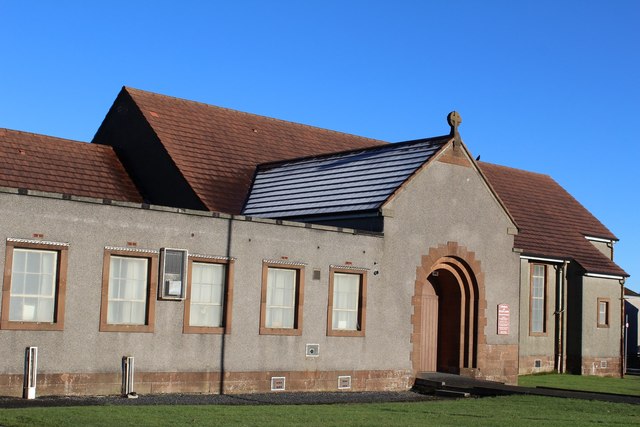
Netherthird
Netherthird is a small housing scheme to the south of Cumnock town centre in East Ayrshire, Scotland. It features a primary school, small grocery shops...

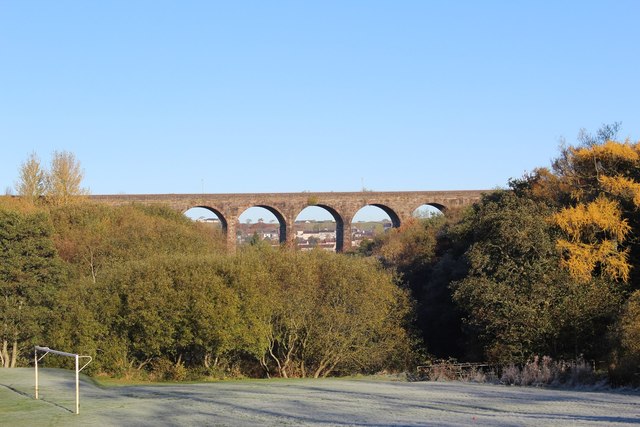
Glaisnock Viaduct
The Glaisnock Viaduct or Caponacre Viaduct is a viaduct over the Glaisnock Water, on the former Glasgow and South Western Railway. It is located in Cumnock...

Cumnock (second) railway station
Cumnock railway station was a railway station serving the town of Cumnock, East Ayrshire, Scotland. The station was originally part of the Annbank to Cronberry...

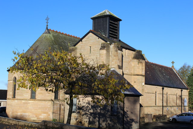
Church of St John, Cumnock (Ayrshire, Scotland)
The Church of St John the Evangelist is in the Scottish town of Cumnock, Ayrshire. Designed by William Burges for the 3rd Marquess of Bute, it was constructed...
Nearby Amenities
Located within 500m of 55.446149,-4.2527402Have you been to Barshare Wood?
Leave your review of Barshare Wood below (or comments, questions and feedback).