Shield Plantation

Wood, Forest in Ayrshire

Scotland

Shield Plantation

Bog pool on Glaisnock Moss Open boggy moorland beyond.
Bog pool on Glaisnock Moss Credit: Kath Jones

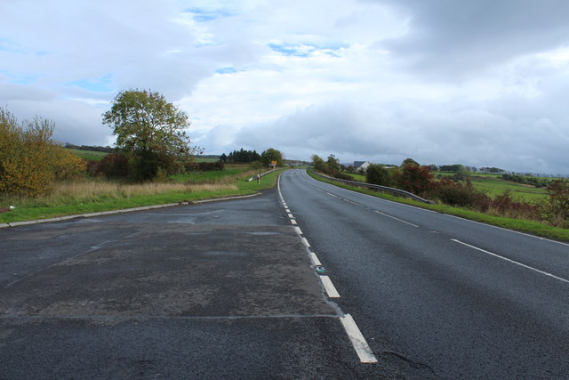
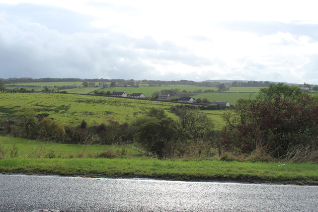
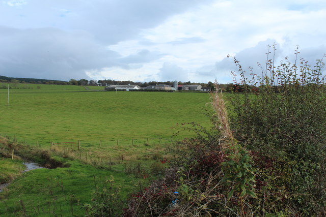
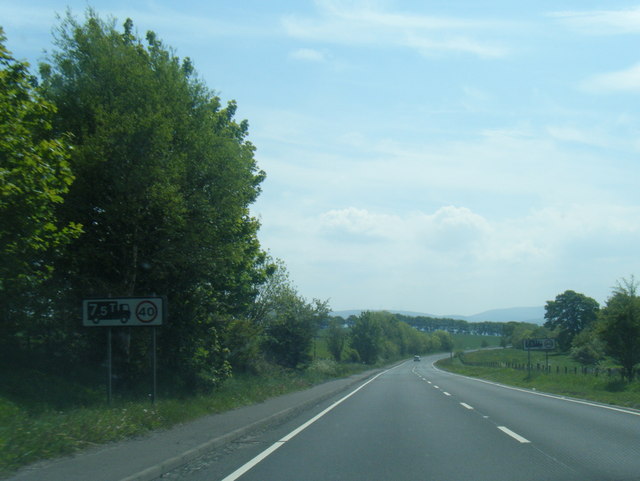
Shield Plantation, located in Ayrshire, Scotland, is a sprawling woodland area renowned for its natural beauty and diverse range of flora and fauna. Covering an expansive area, the plantation boasts a rich history and offers visitors a tranquil and immersive experience in the heart of nature.

The woodland is predominantly composed of native tree species, including oak, birch, and beech, which create a dense canopy overhead. These towering trees provide a haven for a variety of wildlife, making the plantation a popular destination for nature enthusiasts and birdwatchers. Visitors may have the chance to spot species such as red squirrels, roe deer, and various bird species like woodpeckers and tawny owls.

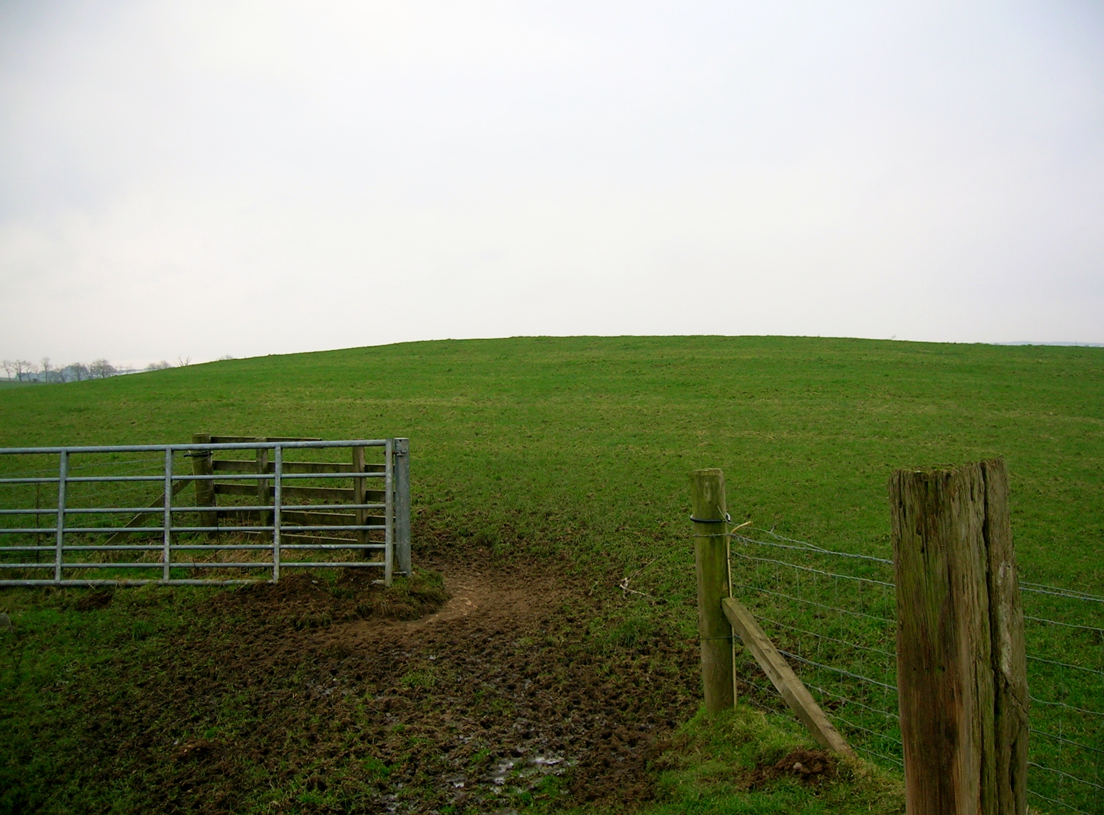
The plantation also features well-maintained walking trails that wind their way through the forest, allowing visitors to explore and appreciate the natural surroundings at their own pace. The paths are accessible for all abilities, and benches are strategically placed along the trails, providing an opportunity for visitors to rest and take in the serene atmosphere.

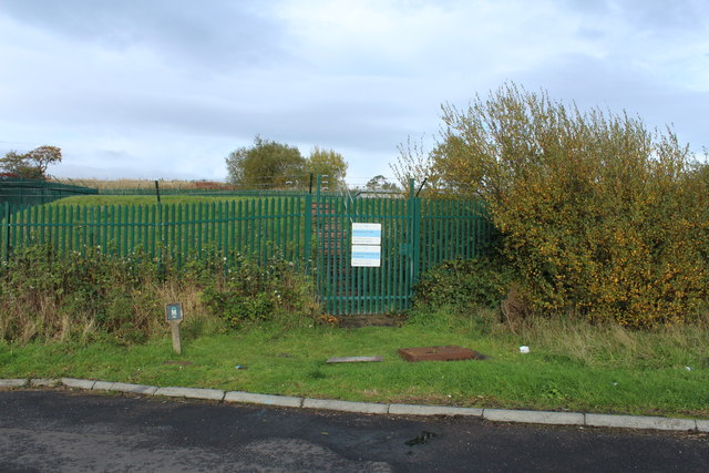
In addition to its natural beauty, Shield Plantation offers educational opportunities through interpretive signage and guided tours. These resources aim to educate visitors about the importance of woodland conservation and the unique ecosystem present within the plantation.

Overall, Shield Plantation in Ayrshire is a picturesque woodland retreat that offers a sanctuary for both wildlife and visitors alike. Its tranquil atmosphere, diverse range of flora and fauna, and educational resources make it a must-visit destination for nature lovers and those seeking a peaceful escape in the heart of Scotland.

If you have any feedback on the listing, please let us know in the comments section below.

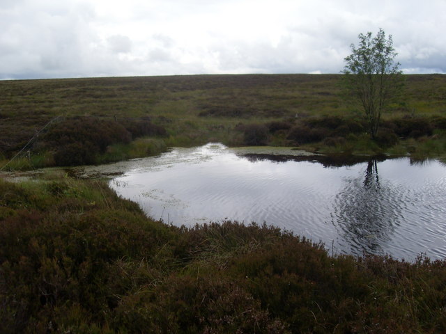
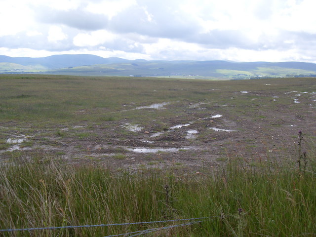
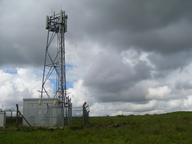
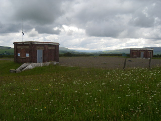
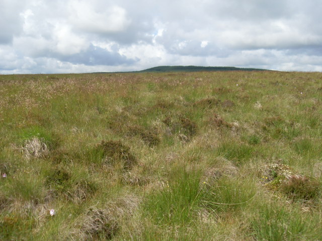
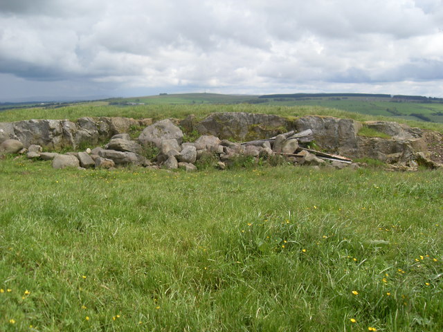
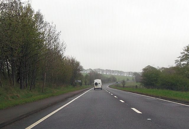
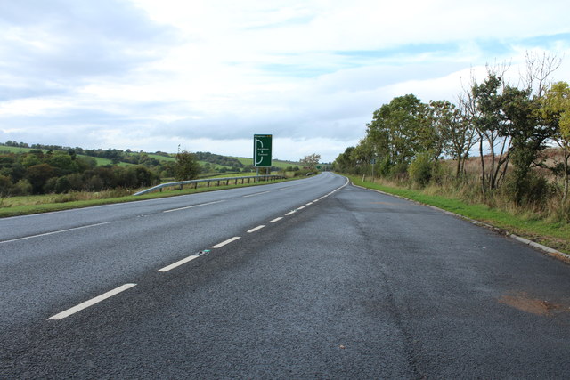
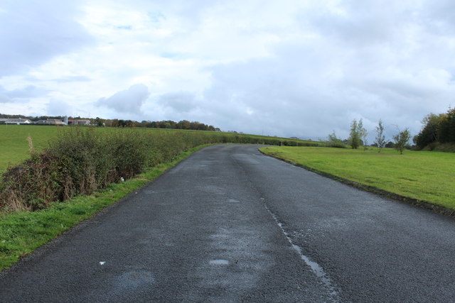
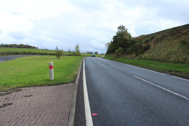
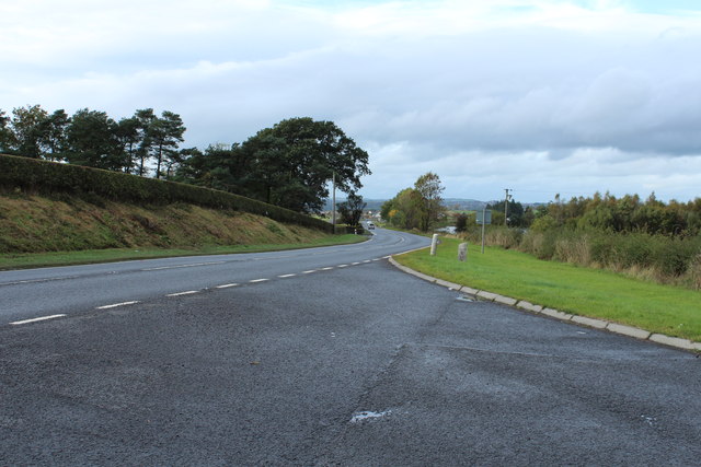
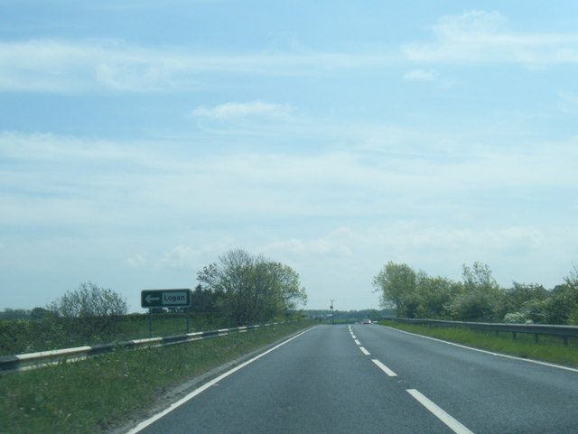
Shield Plantation Images

Images are sourced within 2km of 55.418855/-4.2516281 or Grid Reference NS5716. Thanks to Geograph Open Source API. All images are credited.

Bog pool on Glaisnock Moss Open boggy moorland beyond.
Bog pool on Glaisnock Moss
Open boggy moorland beyond.
"Restored" opencast ground They've got all the coal out from this area. Somewhere hereabouts there used to be a house/farm called Crosshill.
"Restored" opencast ground
They've got all the coal out from this area. Somewhere hereabouts there used to be a house/farm called Crosshill.
Communications mast on Standard Knowe
Reservoir on Glaisnock Hill Scottish Water underground storage.
Reservoir on Glaisnock Hill
Scottish Water underground storage.
Open moorland Carsgailoch Hill in the background.
Open moorland
Carsgailoch Hill in the background.
Rocky outcrop.... ....or small quarry.
Rocky outcrop....
....or small quarry.
Loganhill Road junction from A76
Bend in A76 from Lowes Farm entrance
A76 to Kilmarnock near Cumnock
A76 to Dumfries near Cumnock
Scottish Water near Craigens Covered Reservoir
Scottish Water near Craigens
Covered Reservoir
Farmland near Roadside
Farmland at Calton
Farmland at Calton
Lay-By next to the A76 near Calton
A76 to Dumfries near Calton
A76 to Kilmarnock near Calton
A76 southbound at Meadow
A76 west of Lowes Farm
Show me another place!

Shield Plantation is located at Grid Ref: NS5716 (Lat: 55.418855, Lng: -4.2516281)

Unitary Authority: East Ayrshire

Police Authority: Ayrshire

What 3 Words

///recitals.states.chipper. Near Cumnock, East Ayrshire

Related Wikis

Black Loch (New Cumnock)

Black Loch (NS 59057 161720) is a freshwater loch, named from its dark waters, situated in the East Ayrshire Council Area, between Cumnock and New Cumnock...

Lands of Borland, Barony of Cumnock

The Lands of Borland or Boreland (NS 5864 1742) formed a castle and land holdings within the old Barony of Cumnock, East Ayrshire, Parish of Old Cumnock...

Creoch Loch

Creoch Loch (NS 59259 15615), previously known as Little Creoch Loch, is a freshwater loch in the Parish of New Cumnock in the East Ayrshire Council Area...

Netherthird

Netherthird is a small housing scheme to the south of Cumnock town centre in East Ayrshire, Scotland. It features a primary school, small grocery shops...

Nearby Amenities

Located within 500m of 55.418855,-4.2516281
Power: pole
Lat/Long: 55.4174792/-4.248756
Power: pole
Lat/Long: 55.4215462/-4.2529031
Power: pole
Lat/Long: 55.4168265/-4.2481349
Power: pole
Lat/Long: 55.4202734/-4.251644
Power: pole
Lat/Long: 55.4161243/-4.2474217
Power: pole
Lat/Long: 55.4190505/-4.2503553
Power: pole
Lat/Long: 55.415796/-4.2470749
Power: pole
Lat/Long: 55.4184696/-4.2497911
Power: pole
Lat/Long: 55.4221583/-4.2535503
Power: pole
Lat/Long: 55.421616/-4.2562171
Power: pole
Lat/Long: 55.4157226/-4.2504891
Power: pole
Lat/Long: 55.4165508/-4.2517988
Power: pole
Lat/Long: 55.4169783/-4.2524729
Power: pole
Lat/Long: 55.4174463/-4.2532577
Power: pole
Lat/Long: 55.4184202/-4.2547905
Power: pole
Lat/Long: 55.4188875/-4.255547
Power: pole
Lat/Long: 55.419401/-4.256402
Power: pole
Lat/Long: 55.4204473/-4.2580488
Power: pole
Lat/Long: 55.4215863/-4.2547888
Power: pole
Lat/Long: 55.4210672/-4.2539466
Power: pole
Lat/Long: 55.4205497/-4.2531151
Power: pole
Lat/Long: 55.4193668/-4.251428
Power: pole
Lat/Long: 55.4187457/-4.2506073
Power: pole
Lat/Long: 55.4181794/-4.2498911
Power: pole
Lat/Long: 55.4178065/-4.2491139
Power: pole
Lat/Long: 55.4196851/-4.2510182
Power: pole
Lat/Long: 55.420909/-4.2522628
Power: pole
Lat/Long: 55.4225744/-4.2551006
Power: pole
Lat/Long: 55.4221025/-4.2556531
Power: pole
Lat/Long: 55.4227974/-4.2541873
Power: pole
Lat/Long: 55.4199204/-4.2572194
Power: pole
Lat/Long: 55.4179245/-4.2540103
Power: pole
Lat/Long: 55.4161302/-4.2511337
Power: pole
Lat/Long: 55.4150804/-4.249463
The data included in this document is from www.openstreetmap.org. The data is made available under ODbL.

Have you been to Shield Plantation?

Leave your review of Shield Plantation below (or comments, questions and feedback).