Carbeth Wood
Wood, Forest in Stirlingshire
Scotland
Carbeth Wood

Carbeth Wood is a lush and enchanting forest located in Stirlingshire, Scotland. Spanning over 100 hectares, it is a haven for nature enthusiasts and those seeking tranquility amidst the beauty of the Scottish countryside. The wood is situated near the village of Carbeth, surrounded by rolling hills and picturesque landscapes.
The wood is primarily composed of native broadleaf trees, including oak, birch, and beech, which create a diverse and vibrant ecosystem. Visitors can meander through the woodland's well-maintained trails, which wind through the dense foliage and offer glimpses of wildlife such as red squirrels, deer, and a variety of bird species.
One of the most striking features of Carbeth Wood is the carpet of bluebells that blankets the forest floor in spring. This annual spectacle attracts many nature lovers who come to admire the breathtaking display and capture its beauty through photography.
Several picnic areas are scattered throughout the wood, providing the perfect spot to relax and enjoy a meal surrounded by the sights and sounds of nature. Additionally, there is a designated camping area for those looking to immerse themselves in the forest overnight.
Carbeth Wood is easily accessible, with a car park available for visitors. It is also well-connected to nearby attractions, such as the nearby Carbeth Loch, which offers fishing opportunities and stunning views.
Overall, Carbeth Wood is a true gem of Stirlingshire, offering a peaceful retreat for both locals and tourists to reconnect with nature and experience the tranquility of the Scottish woodland.
If you have any feedback on the listing, please let us know in the comments section below.
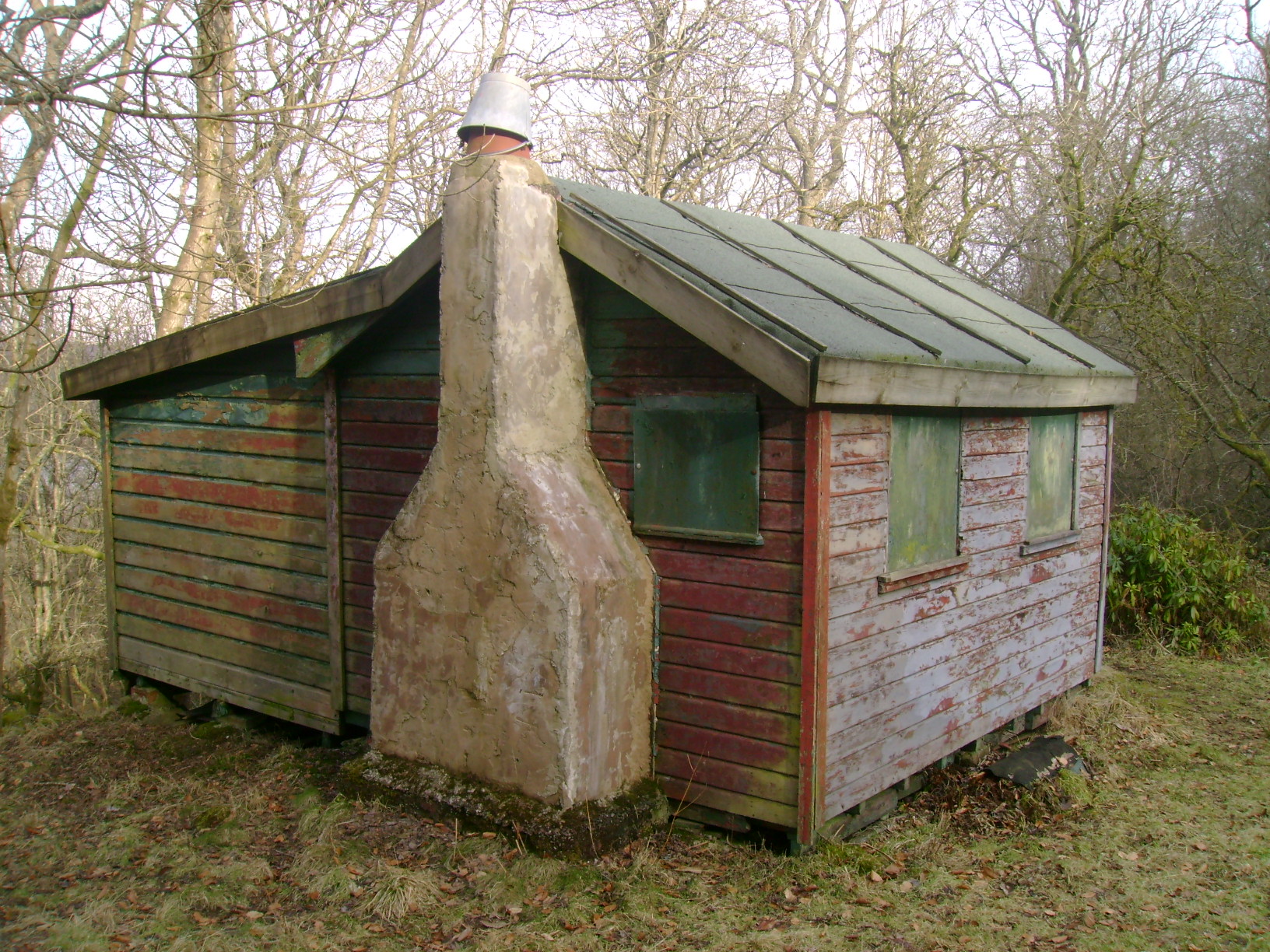
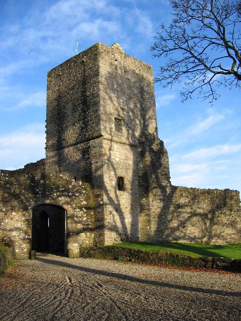
Carbeth Wood Images
Images are sourced within 2km of 55.976604/-4.354898 or Grid Reference NS5378. Thanks to Geograph Open Source API. All images are credited.


![The ruins of Arlehaven Other contributors&#039; earlier pictures show the mostly-intact building as well as its ruin: <a href="https://www.geograph.org.uk/photo/80349">NS5380 : Arlehaven</a> / <a href="https://www.geograph.org.uk/photo/996470">NS5380 : Arlehaven on the West Highland Way</a> / <a href="https://www.geograph.org.uk/photo/1640386">NS5380 : Remains of Arlehaven</a>.
On the first-edition OS map (surveyed in 1860), the building was labelled West Arlehaven (in contrast with East Arlehaven at <a href="https://www.geograph.org.uk/gridref/NS54028023">NS54028023</a>); the &quot;West&quot; was later dropped. The second-edition map (revised c.1896) used the names &quot;Harlhame&quot; (for West Arlehaven) and &quot;Arlehaven&quot; (for East Arlehaven).
The forms &quot;Harlhame&quot; and &quot;Arlehaven&quot; each preserve some elements of the older spellings of this place-name; much of what follows is from the book &quot;The Parish of Strathblane&quot; (1886) by John Guthrie Smith.
The area is referred to as Harlhewan in a deed of 1545, which grants certain lands, forfeited by the Earl of Lennox, to the Earl of Montrose (p15). In 1815, part of the lands of Arlehaven were bought by John Guthrie from James Norval/Narwall. Mr Guthrie made various improvements to this and the other lands making up his estate, and he built march dykes around them (pp42-43).
Other names for this particular area: &quot;John Craig of Laggan was grandfather of Archibald Craig, who was tennant of Laggan in 1743, and who removed from Laggan to Meadowhead or Wester Arlehaven in 1775&quot; (p67).
[The Grassom map (1817) of Stirlingshire shows a &quot;Meadowhead&quot;, but on the other side (NE) of the Blane Water. In a similar way, the Grassom map and Roy&#039;s Military Survey (1740s-50s) both include a &quot;Townhead&quot;, but on opposite sides of the river.]
Pages 74-75 give a detailed account of the manner in which various parts of the Arlehaven lands changed hands from the fifteenth century down to Smith&#039;s own day. He notes that &quot;when King James I granted certain lands, as already shown, to his brother-in-law, William Edmonstone, prior to 1434, &#039;Erleleven&#039; was among them; and when King James II, in 1452, erected the same into the Barony of Duntreath, &#039;Arleywin&#039; was included, and down to the present time this part of Arlehaven, a fifty shilling land, has continued to belong to the Edmonstones, with the exception of (1) 11 acres 1 rood and 10 falls which lay into Carbeth, and were in 1817 exchanged with John Guthrie for part of Carbeth, and (2) of &#039;the poffle called Dallinschachan and Boglands thereof, part of the fifty shilling lands of Arlevin&#039;, which were sold by William Edmonstone of Duntreath in 1614, to John and Manasseh Lyle, and bought back again by his descendant, Archibald Edmonstone, the laird in 1717&quot;.
The heading for that section of the book gives the following variations of the name: Arlehaven, Arleywin, Arlevin, Erleleven, Harlhewing, Harlehame, Harlehaven, Harleheavin. The sixth of these is close to the form that appears on the second-edition OS map (see above).
In the present view, the wooded hill on the right is Dumgoyach. The knoll on the left with a lone tree is shown from a distance in <a href="https://www.geograph.org.uk/photo/3995178">NS5380 : Field gate</a>. Between knoll and hill, Ben Lomond can be seen near the centre of the skyline.](https://s2.geograph.org.uk/geophotos/03/99/56/3995614_c58447e0.jpg)


Carbeth Wood is located at Grid Ref: NS5378 (Lat: 55.976604, Lng: -4.354898)
Unitary Authority: Stirling
Police Authority: Forth Valley
What 3 Words
///chickens.doctor.hoops. Near Strathblane, Stirling
Nearby Locations
Related Wikis
Carbeth
Carbeth is a hamlet in Stirlingshire, 2.5 miles (4 km) west of Strathblane and 5.5 miles (9 km) north of Clydebank. Named features include Carbeth Hill...
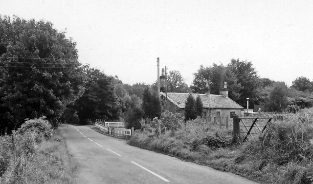
Blanefield railway station
Blanefield railway station served the village of Blanefield, Stirling, Scotland from 1867 to 1959 on the Blane Valley Railway. == History == The station...

Mugdock Castle
Mugdock Castle was the stronghold of the Clan Graham from the middle of the 13th century. Its ruins are located in Mugdock Country Park, just west of the...
Mugdock Country Park
Mugdock Country Park is a country park and historical site located partly in East Dunbartonshire and partly in Stirling, in the former county of Stirlingshire...
Nearby Amenities
Located within 500m of 55.976604,-4.354898Have you been to Carbeth Wood?
Leave your review of Carbeth Wood below (or comments, questions and feedback).