Craigallian Loch

Lake, Pool, Pond, Freshwater Marsh in Stirlingshire

Scotland

Craigallian Loch

Arlehaven Located next to West Highland Way
Arlehaven Credit: Iain Thompson

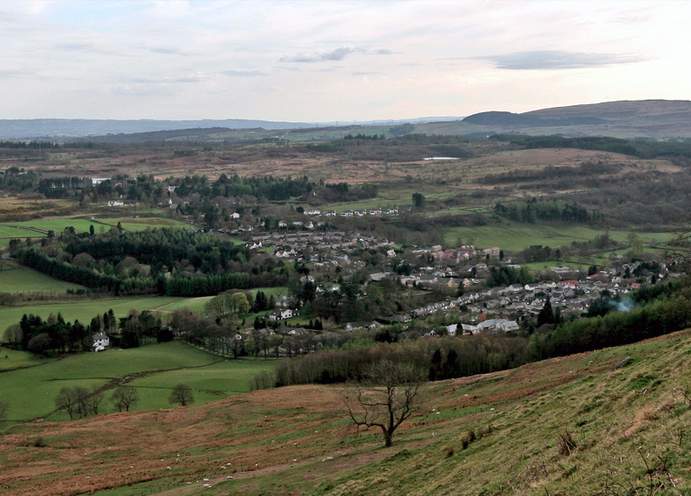
Craigallian Loch is a picturesque freshwater loch located in Stirlingshire, Scotland. Nestled within the stunning backdrop of the Campsie Fells, it covers an area of approximately 10 hectares. The loch is situated at an elevation of 246 meters above sea level, providing visitors with breathtaking panoramic views of the surrounding countryside.

The loch itself is relatively shallow, with a maximum depth of around 3 meters. It is fed by a number of small streams and springs that flow into it from the surrounding hills, ensuring a constant supply of fresh water. The water is clear and pristine, attracting a variety of wildlife.

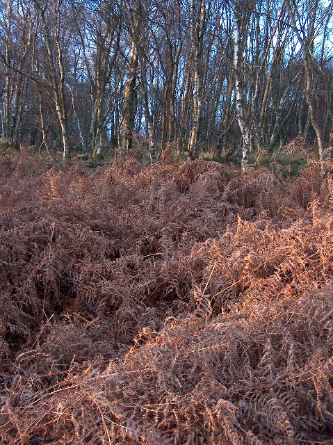
The surrounding area of Craigallian Loch is predominantly covered by woodland, creating a serene and tranquil atmosphere. The loch is home to a diverse range of flora and fauna, including various waterfowl, such as ducks and geese, as well as numerous species of fish, such as trout and pike. The lush vegetation around the loch provides a habitat for a wide array of bird species, making it a popular destination for birdwatchers.

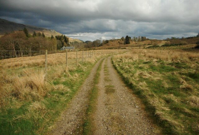
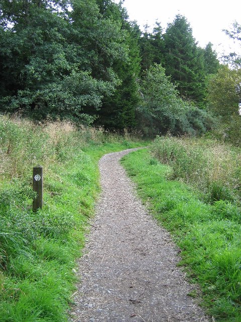
A footpath runs along the eastern shore of the loch, allowing visitors to explore the area and enjoy the natural beauty of the surroundings. The loch is a popular spot for recreational activities such as fishing and picnicking, attracting locals and tourists alike.

Overall, Craigallian Loch offers a peaceful retreat from the hustle and bustle of city life, providing a haven for nature lovers and outdoor enthusiasts. Its stunning scenery and abundant wildlife make it a must-visit destination in Stirlingshire.

If you have any feedback on the listing, please let us know in the comments section below.

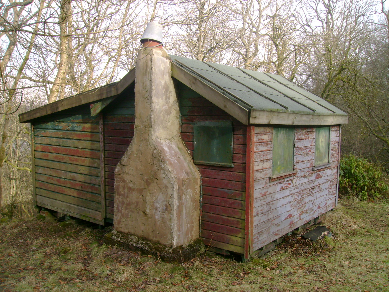
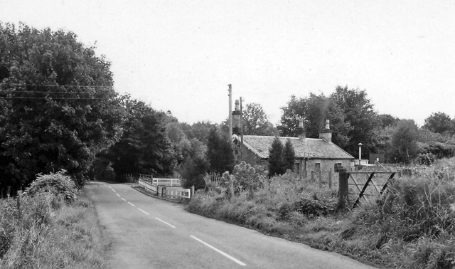
Craigallian Loch Images

Images are sourced within 2km of 55.974623/-4.3470841 or Grid Reference NS5378. Thanks to Geograph Open Source API. All images are credited.

Arlehaven Located next to West Highland Way
Arlehaven
Located next to West Highland Way
Remains of Arlehaven Some mishap has befallen the house at Arlehaven, its previous, idyllic state shown in <a href="https://www.geograph.org.uk/photo/80349">NS5380 : Arlehaven</a>. The pile of stones to the right, just below halfway, seems to be all that remains, plus some abandoned electrical appliances.
Remains of Arlehaven
Some mishap has befallen the house at Arlehaven, its previous, idyllic state shown in NS5380 : Arlehaven. The pile of stones to the right, just below halfway, seems to be all that remains, plus some abandoned electrical appliances.
West Highland Way at Arlehaven The path of the West Highland Way has clearly seen many visitors in recent days, so its line is quite clear at the bottom of the picture, even if its surface currently resembles a ski piste. The distinctively shaped hill Dumgoyne lies in the distance. At top right you can still see the telephone line that served the now destroyed house at Arlehaven ( <a href="https://www.geograph.org.uk/photo/1640386">NS5380 : Remains of Arlehaven</a> ).
West Highland Way at Arlehaven
The path of the West Highland Way has clearly seen many visitors in recent days, so its line is quite clear at the bottom of the picture, even if its surface currently resembles a ski piste. The distinctively shaped hill Dumgoyne lies in the distance. At top right you can still see the telephone line that served the now destroyed house at Arlehaven ( NS5380 : Remains of Arlehaven ).
The ruins of Arlehaven Other contributors' earlier pictures show the mostly-intact building as well as its ruin: <a href="https://www.geograph.org.uk/photo/80349">NS5380 : Arlehaven</a> / <a href="https://www.geograph.org.uk/photo/996470">NS5380 : Arlehaven on the West Highland Way</a> / <a href="https://www.geograph.org.uk/photo/1640386">NS5380 : Remains of Arlehaven</a>.

On the first-edition OS map (surveyed in 1860), the building was labelled West Arlehaven (in contrast with East Arlehaven at <a href="https://www.geograph.org.uk/gridref/NS54028023">NS54028023</a>); the "West" was later dropped. The second-edition map (revised c.1896) used the names "Harlhame" (for West Arlehaven) and "Arlehaven" (for East Arlehaven).

The forms "Harlhame" and "Arlehaven" each preserve some elements of the older spellings of this place-name; much of what follows is from the book "The Parish of Strathblane" (1886) by John Guthrie Smith.

The area is referred to as Harlhewan in a deed of 1545, which grants certain lands, forfeited by the Earl of Lennox, to the Earl of Montrose (p15). In 1815, part of the lands of Arlehaven were bought by John Guthrie from James Norval/Narwall. Mr Guthrie made various improvements to this and the other lands making up his estate, and he built march dykes around them (pp42-43).

Other names for this particular area: "John Craig of Laggan was grandfather of Archibald Craig, who was tennant of Laggan in 1743, and who removed from Laggan to Meadowhead or Wester Arlehaven in 1775" (p67).

[The Grassom map (1817) of Stirlingshire shows a "Meadowhead", but on the other side (NE) of the Blane Water. In a similar way, the Grassom map and Roy's Military Survey (1740s-50s) both include a "Townhead", but on opposite sides of the river.]

Pages 74-75 give a detailed account of the manner in which various parts of the Arlehaven lands changed hands from the fifteenth century down to Smith's own day. He notes that "when King James I granted certain lands, as already shown, to his brother-in-law, William Edmonstone, prior to 1434, 'Erleleven' was among them; and when King James II, in 1452, erected the same into the Barony of Duntreath, 'Arleywin' was included, and down to the present time this part of Arlehaven, a fifty shilling land, has continued to belong to the Edmonstones, with the exception of (1) 11 acres 1 rood and 10 falls which lay into Carbeth, and were in 1817 exchanged with John Guthrie for part of Carbeth, and (2) of 'the poffle called Dallinschachan and Boglands thereof, part of the fifty shilling lands of Arlevin', which were sold by William Edmonstone of Duntreath in 1614, to John and Manasseh Lyle, and bought back again by his descendant, Archibald Edmonstone, the laird in 1717".

The heading for that section of the book gives the following variations of the name: Arlehaven, Arleywin, Arlevin, Erleleven, Harlhewing, Harlehame, Harlehaven, Harleheavin. The sixth of these is close to the form that appears on the second-edition OS map (see above).

In the present view, the wooded hill on the right is Dumgoyach. The knoll on the left with a lone tree is shown from a distance in <a href="https://www.geograph.org.uk/photo/3995178">NS5380 : Field gate</a>. Between knoll and hill, Ben Lomond can be seen near the centre of the skyline.
The ruins of Arlehaven
Other contributors' earlier pictures show the mostly-intact building as well as its ruin: NS5380 : Arlehaven / NS5380 : Arlehaven on the West Highland Way / NS5380 : Remains of Arlehaven. On the first-edition OS map (surveyed in 1860), the building was labelled West Arlehaven (in contrast with East Arlehaven at NS54028023); the "West" was later dropped. The second-edition map (revised c.1896) used the names "Harlhame" (for West Arlehaven) and "Arlehaven" (for East Arlehaven). The forms "Harlhame" and "Arlehaven" each preserve some elements of the older spellings of this place-name; much of what follows is from the book "The Parish of Strathblane" (1886) by John Guthrie Smith. The area is referred to as Harlhewan in a deed of 1545, which grants certain lands, forfeited by the Earl of Lennox, to the Earl of Montrose (p15). In 1815, part of the lands of Arlehaven were bought by John Guthrie from James Norval/Narwall. Mr Guthrie made various improvements to this and the other lands making up his estate, and he built march dykes around them (pp42-43). Other names for this particular area: "John Craig of Laggan was grandfather of Archibald Craig, who was tennant of Laggan in 1743, and who removed from Laggan to Meadowhead or Wester Arlehaven in 1775" (p67). [The Grassom map (1817) of Stirlingshire shows a "Meadowhead", but on the other side (NE) of the Blane Water. In a similar way, the Grassom map and Roy's Military Survey (1740s-50s) both include a "Townhead", but on opposite sides of the river.] Pages 74-75 give a detailed account of the manner in which various parts of the Arlehaven lands changed hands from the fifteenth century down to Smith's own day. He notes that "when King James I granted certain lands, as already shown, to his brother-in-law, William Edmonstone, prior to 1434, 'Erleleven' was among them; and when King James II, in 1452, erected the same into the Barony of Duntreath, 'Arleywin' was included, and down to the present time this part of Arlehaven, a fifty shilling land, has continued to belong to the Edmonstones, with the exception of (1) 11 acres 1 rood and 10 falls which lay into Carbeth, and were in 1817 exchanged with John Guthrie for part of Carbeth, and (2) of 'the poffle called Dallinschachan and Boglands thereof, part of the fifty shilling lands of Arlevin', which were sold by William Edmonstone of Duntreath in 1614, to John and Manasseh Lyle, and bought back again by his descendant, Archibald Edmonstone, the laird in 1717". The heading for that section of the book gives the following variations of the name: Arlehaven, Arleywin, Arlevin, Erleleven, Harlhewing, Harlehame, Harlehaven, Harleheavin. The sixth of these is close to the form that appears on the second-edition OS map (see above). In the present view, the wooded hill on the right is Dumgoyach. The knoll on the left with a lone tree is shown from a distance in NS5380 : Field gate. Between knoll and hill, Ben Lomond can be seen near the centre of the skyline.
West Highland Way at Arlehaven This part of the route is also on the John Muir Way. Arlehaven, now destroyed, was located among the trees on the left: see <a href="https://www.geograph.org.uk/photo/3995614">NS5380 : The ruins of Arlehaven</a>, and other pictures linked from there.

The wooded hill Dumgoyach is behind the ruins, and the rocky peak of Dumgoyne is also prominent, right of centre.

On the skyline, an unnamed hill at <a href="https://www.geograph.org.uk/gridref/NS51628097">NS51628097</a> is at the extreme left; the similar hill just to its right is <a href="https://www.geograph.org.uk/photo/2497605">NS5181 : Quinlochmore</a>.
West Highland Way at Arlehaven
This part of the route is also on the John Muir Way. Arlehaven, now destroyed, was located among the trees on the left: see NS5380 : The ruins of Arlehaven, and other pictures linked from there. The wooded hill Dumgoyach is behind the ruins, and the rocky peak of Dumgoyne is also prominent, right of centre. On the skyline, an unnamed hill at NS51628097 is at the extreme left; the similar hill just to its right is NS5181 : Quinlochmore.
West Highland Way near Arlehaven Arlehaven, now destroyed, was formerly among the trees behind the gorse to the left of the path: <a href="https://www.geograph.org.uk/photo/3995614">NS5380 : The ruins of Arlehaven</a>.

Further away, the steep wooded hill Dumgoyach is prominent on the left (compare <a href="https://www.geograph.org.uk/photo/3994702">NS5380 : Duntreath Standing Stones</a>). Distant Ben Lomond is on the skyline at the far left. The much closer conspicuous rocky hill of Dumgoyne can be seen right of centre.
West Highland Way near Arlehaven
Arlehaven, now destroyed, was formerly among the trees behind the gorse to the left of the path: NS5380 : The ruins of Arlehaven. Further away, the steep wooded hill Dumgoyach is prominent on the left (compare NS5380 : Duntreath Standing Stones). Distant Ben Lomond is on the skyline at the far left. The much closer conspicuous rocky hill of Dumgoyne can be seen right of centre.
Dry-stone wall beside path For context, and for a description of background details, see <a href="https://www.geograph.org.uk/photo/3996136">NS5380 : West Highland Way near Arlehaven</a>, which shows the adjacent path.
Dry-stone wall beside path
For context, and for a description of background details, see NS5380 : West Highland Way near Arlehaven, which shows the adjacent path.
The West Highland Way at Arlehaven Dropping into the south end of the Loch Lomond catchment area. Dumgoyne is prominent on the horizon.
The West Highland Way at Arlehaven
Dropping into the south end of the Loch Lomond catchment area. Dumgoyne is prominent on the horizon.
West Highland Way near Arlehaven ... Or Harlhame on some maps. There was once a plantation on the right, now you can see Dumgoyne.
West Highland Way near Arlehaven
... Or Harlhame on some maps. There was once a plantation on the right, now you can see Dumgoyne.
Moorland near Arlehaven View of rough grazing from the West Highland Way.
Moorland near Arlehaven
View of rough grazing from the West Highland Way.
Site of Arlehaven The ruin shown here <a href="https://www.geograph.org.uk/photo/80349">NS5380 : Arlehaven</a>] has been demolished.  Spot the tent.
Site of Arlehaven
The ruin shown here NS5380 : Arlehaven] has been demolished. Spot the tent.
Track near East Arlehaven Looking west northwest. The wooded hill in the distance is Dumgoyach.
Track near East Arlehaven
Looking west northwest. The wooded hill in the distance is Dumgoyach.
Track approaching East Arlehaven East Arlehaven is beside the trees to the left.
Track approaching East Arlehaven
East Arlehaven is beside the trees to the left.
Mugdock Castle, Mugdock Country Park, East Dunbartonshire Origins of this Graham Castle date back to late 14th century
Mugdock Castle, Mugdock Country Park, East Dunbartonshire
Origins of this Graham Castle date back to late 14th century
Craigallian Loch, near Carbeth, Stirlingshire On the left of the photo can be seen part of the West Highland Way long distance footpath. The separate hill in the background is Dumgoyne
Craigallian Loch, near Carbeth, Stirlingshire
On the left of the photo can be seen part of the West Highland Way long distance footpath. The separate hill in the background is Dumgoyne
West Highland Way in Craigallian Woods, Stirlingshire The post on the left of the picture has the stylised thistle which is the way-marker for this long-distance footpath.
West Highland Way in Craigallian Woods, Stirlingshire
The post on the left of the picture has the stylised thistle which is the way-marker for this long-distance footpath.
Carbeth Inn, Stirlingshire A popular stopping point on the A809 road
Carbeth Inn, Stirlingshire
A popular stopping point on the A809 road
Bracken and Birches, Mugdock Wood Late autumn afternoon light in deiduous woodland near Milngavie.
Bracken and Birches, Mugdock Wood
Late autumn afternoon light in deiduous woodland near Milngavie.
Show me another place!

Craigallian Loch is located at Grid Ref: NS5378 (Lat: 55.974623, Lng: -4.3470841)

Unitary Authority: Stirling

Police Authority: Forth Valley

What 3 Words

///quantity.uttering.gourmet. Near Strathblane, Stirling

Related Wikis

Carbeth

Carbeth is a hamlet in Stirlingshire, 2.5 miles (4 km) west of Strathblane and 5.5 miles (9 km) north of Clydebank. Named features include Carbeth Hill...
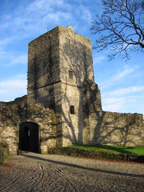
Mugdock Castle

Mugdock Castle was the stronghold of the Clan Graham from the middle of the 13th century. Its ruins are located in Mugdock Country Park, just west of the...

Blanefield railway station

Blanefield railway station served the village of Blanefield, Stirling, Scotland from 1867 to 1959 on the Blane Valley Railway. == History == The station...

Mugdock Country Park

Mugdock Country Park is a country park and historical site located partly in East Dunbartonshire and partly in Stirling, in the former county of Stirlingshire...

Mugdock

Mugdock is a hamlet in Stirlingshire, Scotland. It lies to the south of the village of Strathblane, and was in the civil parish. In the past the hamlet...

Blanefield

Blanefield is a settlement in Scotland contiguous with Strathblane's northwestern fringe. To the west is the volcanic plug Dumgoyne, Glengoyne Distillery...

Strathblane

Strathblane (Scottish Gaelic: Strath Bhlàthain, pronounced [s̪t̪ɾahˈvl̪ˠaː.ɪɲ]) is a village and parish in the registration county of Stirlingshire, situated...

Strathblane railway station

Strathblane railway station served the village of Strathblane, Stirling, Scotland from 1867 to 1951 on the Blane Valley Railway. == History == The station...

Nearby Amenities

Located within 500m of 55.974623,-4.3470841
Scroggy Hill
Ele: 137
Munro: no
Natural: peak
Lat/Long: 55.97033/-4.3466085
Power: tower
Lat/Long: 55.9783043/-4.3502133
Power: tower
Lat/Long: 55.9768687/-4.3429538
Craigallian Fire
Historic: stone
Lat/Long: 55.9750559/-4.3498269
Noexit: yes
Lat/Long: 55.9751114/-4.3503219
Power: pole
Lat/Long: 55.9705787/-4.3491132
Power: pole
Lat/Long: 55.9711126/-4.3492102
Power: pole
Lat/Long: 55.9716903/-4.3458539
Power: pole
Lat/Long: 55.9718496/-4.3449999
Power: pole
Lat/Long: 55.9721226/-4.3434015
Power: pole
Lat/Long: 55.9723974/-4.3418432
The data included in this document is from www.openstreetmap.org. The data is made available under ODbL.

Have you been to Craigallian Loch?

Leave your review of Craigallian Loch below (or comments, questions and feedback).