Carbeth Hill
Hill, Mountain in Stirlingshire
Scotland
Carbeth Hill

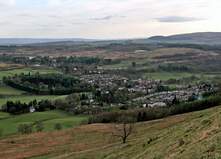
Carbeth Hill is a prominent hill located in Stirlingshire, Scotland. Standing at an elevation of approximately 361 meters (1,184 feet), it offers stunning panoramic views of the surrounding countryside. The hill is part of the Campsie Fells range, which stretches across Stirlingshire and East Dunbartonshire.
Carbeth Hill is a popular destination for outdoor enthusiasts, hikers, and nature lovers. The hill is easily accessible and has well-maintained walking trails that lead to its summit. The ascent is relatively gentle, making it suitable for individuals of varying fitness levels. Along the way, visitors can admire the diverse flora and fauna that thrive in the area, including heather, gorse, and a variety of bird species.
Upon reaching the top, the breathtaking views make the climb worthwhile. On clear days, one can see as far as Loch Lomond and the Trossachs National Park to the west, and the city of Glasgow to the south. The hill offers a serene and peaceful atmosphere, making it an ideal spot for picnics or simply taking in the natural beauty of the Scottish countryside.
Carbeth Hill is also steeped in history. The hill was once the site of a Roman watchtower, serving as a signal station during their occupation of Scotland. Today, the remnants of the watchtower can still be seen by visitors.
In summary, Carbeth Hill provides a wonderful opportunity to experience the Scottish outdoors and enjoy breathtaking views of the surrounding landscape. Its accessibility, natural beauty, and historical significance make it a must-visit destination in Stirlingshire.
If you have any feedback on the listing, please let us know in the comments section below.
Carbeth Hill Images
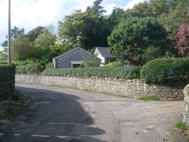
Images are sourced within 2km of 55.981269/-4.3548771 or Grid Reference NS5378. Thanks to Geograph Open Source API. All images are credited.


Carbeth Hill is located at Grid Ref: NS5378 (Lat: 55.981269, Lng: -4.3548771)
Unitary Authority: Stirling
Police Authority: Forth Valley
What 3 Words
///primary.destroyer.thumb. Near Strathblane, Stirling
Nearby Locations
Related Wikis
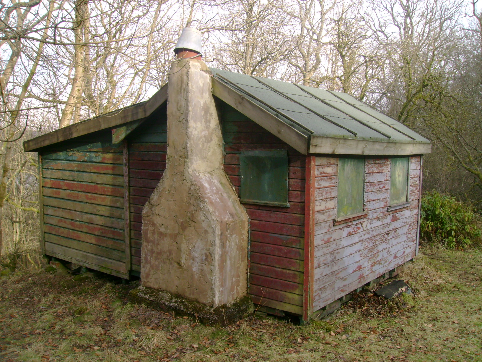
Carbeth
Carbeth is a hamlet in Stirlingshire, 2.5 miles (4 km) west of Strathblane and 5.5 miles (9 km) north of Clydebank. Named features include Carbeth Hill...
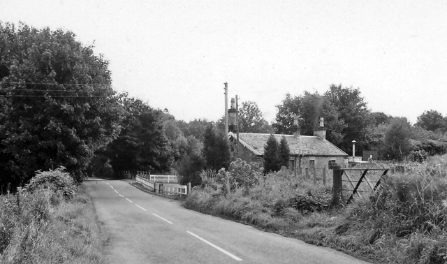
Blanefield railway station
Blanefield railway station served the village of Blanefield, Stirling, Scotland from 1867 to 1959 on the Blane Valley Railway. == History == The station...

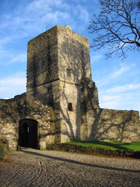
Mugdock Castle
Mugdock Castle was the stronghold of the Clan Graham from the middle of the 13th century. Its ruins are located in Mugdock Country Park, just west of the...
Mugdock Country Park
Mugdock Country Park is a country park and historical site located partly in East Dunbartonshire and partly in Stirling, in the former county of Stirlingshire...
Blanefield
Blanefield is a settlement in Scotland contiguous with Strathblane's northwestern fringe. To the west is the volcanic plug Dumgoyne, Glengoyne Distillery...
Strathblane
Strathblane (Scottish Gaelic: Strath Bhlàthain, pronounced [s̪t̪ɾahˈvl̪ˠaː.ɪɲ]) is a village and parish in the registration county of Stirlingshire, situated...

Strathblane railway station
Strathblane railway station served the village of Strathblane, Stirling, Scotland from 1867 to 1951 on the Blane Valley Railway. == History == The station...
Mugdock
Mugdock is a hamlet in Stirlingshire, Scotland. It lies to the south of the village of Strathblane, and was in the civil parish. In the past the hamlet...
Nearby Amenities
Located within 500m of 55.981269,-4.3548771Have you been to Carbeth Hill?
Leave your review of Carbeth Hill below (or comments, questions and feedback).