Crosshill Wood
Wood, Forest in Ayrshire
Scotland
Crosshill Wood

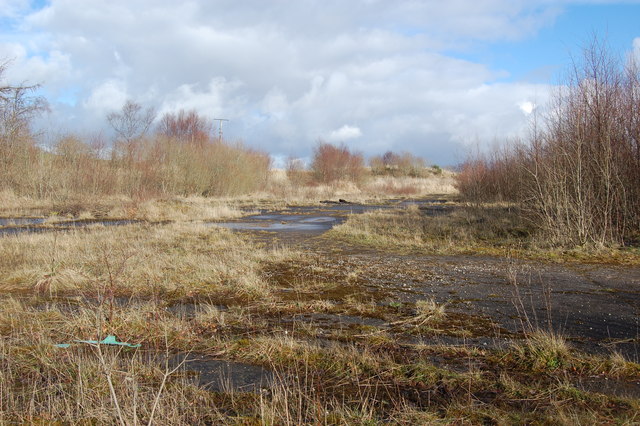
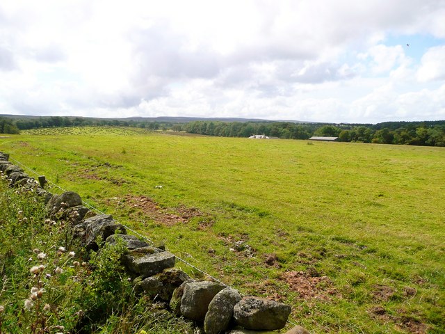
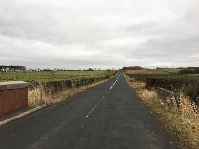
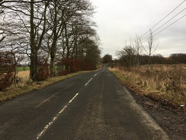
Crosshill Wood is a picturesque forest located in the heart of Ayrshire, Scotland. Covering an area of approximately 50 acres, this woodland is a haven for nature enthusiasts and outdoor adventurers alike. Situated just a few miles south of the town of Maybole, Crosshill Wood offers a tranquil and serene environment, making it a popular destination for those seeking solace in nature.
The woodland is primarily composed of a mix of native tree species, including oak, beech, and birch, creating a diverse and vibrant ecosystem. The trees tower overhead, providing ample shade and shelter for the various wildlife that call this forest their home. Visitors can expect to encounter a wide array of birds, such as woodpeckers and owls, as well as small mammals like squirrels and rabbits.
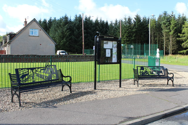
Several well-maintained trails wind their way through the woodland, offering visitors the opportunity to explore and immerse themselves in the natural beauty of Crosshill Wood. These paths are suitable for both casual strolls and more challenging hikes, catering to individuals of all fitness levels. Along the trails, one can discover hidden glens, babbling brooks, and enchanting clearings, making every step an adventure.
Crosshill Wood is also a site of historical significance, with remnants of ancient settlements and burial grounds scattered throughout the area. Archaeological enthusiasts can explore these sites and gain insight into the lives of those who once inhabited this land.
Overall, Crosshill Wood is a captivating destination for nature lovers and history buffs alike, offering a delightful combination of scenic beauty, diverse wildlife, and historical intrigue.
If you have any feedback on the listing, please let us know in the comments section below.
Crosshill Wood Images
Images are sourced within 2km of 55.437946/-4.3260707 or Grid Reference NS5218. Thanks to Geograph Open Source API. All images are credited.


Crosshill Wood is located at Grid Ref: NS5218 (Lat: 55.437946, Lng: -4.3260707)
Unitary Authority: East Ayrshire
Police Authority: Ayrshire
What 3 Words
///suave.shops.gasping. Near Ochiltree, East Ayrshire
Nearby Locations
Related Wikis

Skares railway station
Skares railway station was a railway station serving the former mining village of Skares, East Ayrshire, Scotland. The station was originally part of the...
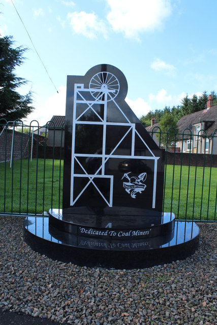
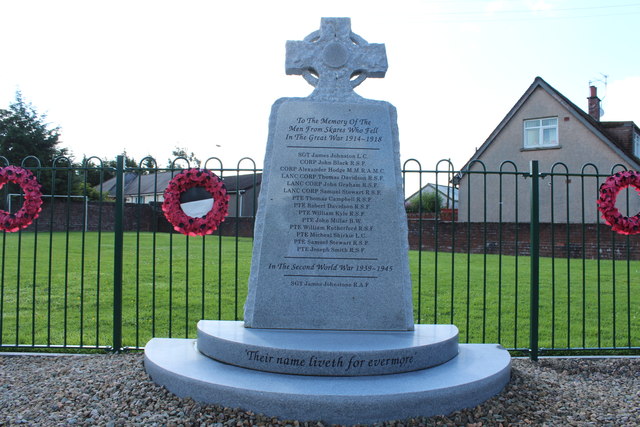
Skares
Skares is a village in East Ayrshire, Scotland. Skares is located some 3 miles (5 km) southwest of Cumnock. It used to have a football team called Skares...

Dumfries House railway station
Dumfries House railway station was a railway station near Dumfries House, East Ayrshire, Scotland. The station was originally part of the Annbank to Cronberry...

Ochiltree railway station
Ochiltree railway station was a railway station serving the village of Ochiltree, East Ayrshire, Scotland. The station was originally part of the Annbank...

Dumfries House
Dumfries House is a Palladian country house within a large estate, two miles (3 km) west of Cumnock, East Ayrshire, Scotland.. Noted for being one of the...
South Palmerston Loch
South Palmerston Loch or Flush, previously known as Loch of the Hill, lying to the east of the 500 ft (152 m) Back hill Mount. It was one of several small...
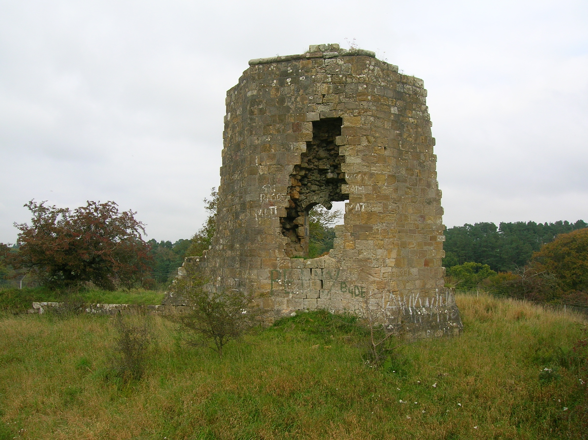
Terringzean Castle, East Ayrshire
Terringzean Castle, also Taringzean, pronounced 'Tringan', is a Category B listed castle ruin lying above the River Lugar and the Terringzean Holm in the...
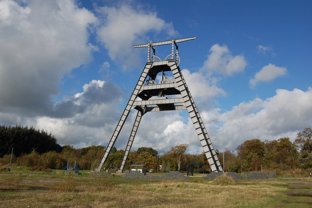
Barony A Frame
The Barony A Frame is a preserved headgear in East Ayrshire, Scotland, located 2 kilometres (1.2 mi) west of Auchinleck. One hundred and eighty feet high...
Nearby Amenities
Located within 500m of 55.437946,-4.3260707Have you been to Crosshill Wood?
Leave your review of Crosshill Wood below (or comments, questions and feedback).