Barmickhill Centre Belt
Wood, Forest in Ayrshire
Scotland
Barmickhill Centre Belt
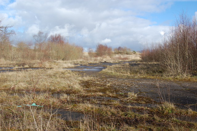
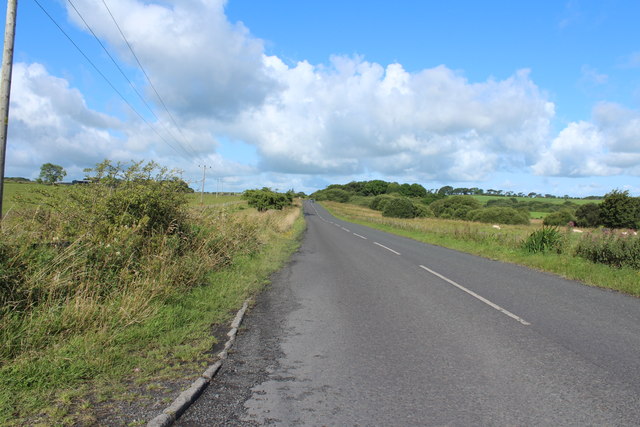
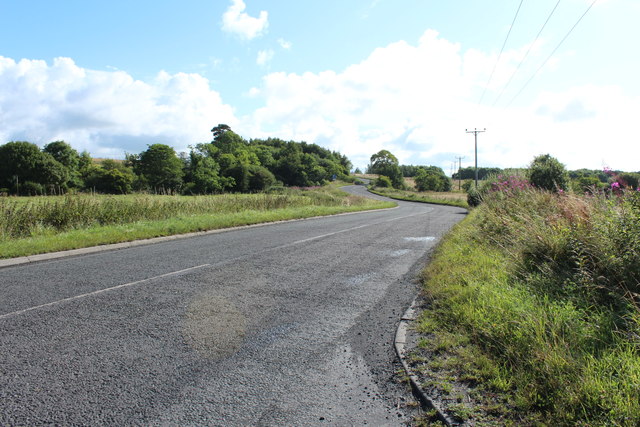
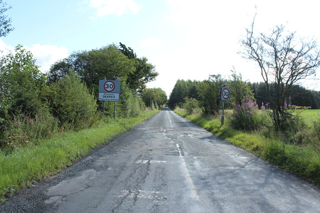
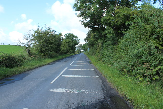
Barmickhill Centre Belt is a woodland area located in Ayrshire, Scotland. It is situated near the town of Ayr and covers an approximate area of several hectares. The woodland is part of a larger network of forests and woodlands in the region.
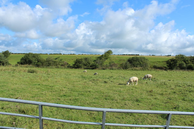
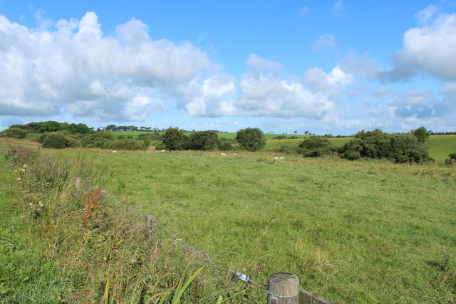
The Barmickhill Centre Belt is predominantly composed of mixed woodland, consisting of a variety of tree species including oak, beech, birch, and Scots pine. The dense canopy formed by these trees provides a habitat for a diverse range of flora and fauna.
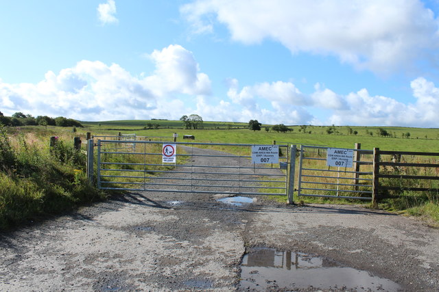
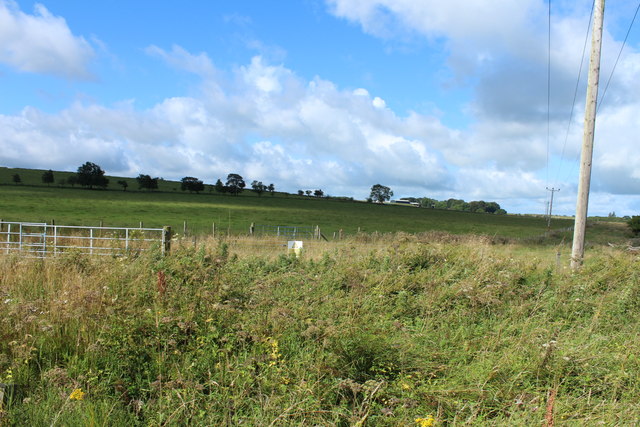
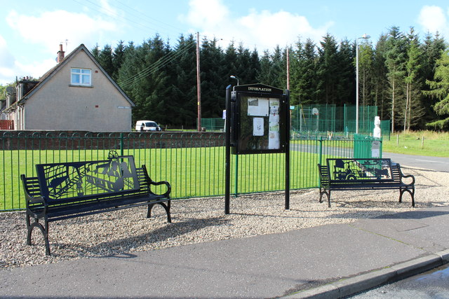
The woodland is crisscrossed by a network of well-maintained footpaths, making it easily accessible for visitors. These paths offer opportunities for leisurely walks, jogging, and cycling, allowing visitors to explore the natural beauty of the area.
The Barmickhill Centre Belt is also home to a wide array of wildlife. Visitors may encounter various bird species such as robins, blue tits, and woodpeckers. Small mammals like squirrels and rabbits can be spotted throughout the woodland, while larger animals like deer are occasionally seen. The presence of a nearby river also attracts otters and kingfishers.
The woodland is managed by local authorities, who ensure the preservation and conservation of the area. Maintenance activities include regular tree planting, removal of invasive species, and periodic clearing of footpaths. The Barmickhill Centre Belt serves as an important recreational and educational resource for the local community and visitors alike, providing a peaceful and scenic environment to connect with nature.
If you have any feedback on the listing, please let us know in the comments section below.
Barmickhill Centre Belt Images
Images are sourced within 2km of 55.439652/-4.3407165 or Grid Reference NS5218. Thanks to Geograph Open Source API. All images are credited.

Barmickhill Centre Belt is located at Grid Ref: NS5218 (Lat: 55.439652, Lng: -4.3407165)
Unitary Authority: East Ayrshire
Police Authority: Ayrshire
What 3 Words
///nooks.printer.recap. Near Ochiltree, East Ayrshire
Nearby Locations
Related Wikis

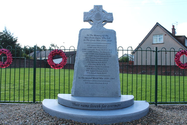
Skares railway station
Skares railway station was a railway station serving the former mining village of Skares, East Ayrshire, Scotland. The station was originally part of the...

Ochiltree railway station
Ochiltree railway station was a railway station serving the village of Ochiltree, East Ayrshire, Scotland. The station was originally part of the Annbank...
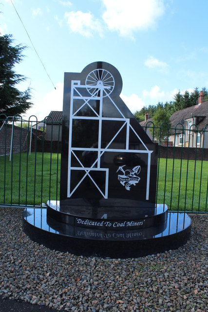
Skares
Skares is a village in East Ayrshire, Scotland. Skares is located some 3 miles (5 km) southwest of Cumnock. It used to have a football team called Skares...
South Palmerston Loch
South Palmerston Loch or Flush, previously known as Loch of the Hill, lying to the east of the 500 ft (152 m) Back hill Mount. It was one of several small...

Dumfries House railway station
Dumfries House railway station was a railway station near Dumfries House, East Ayrshire, Scotland. The station was originally part of the Annbank to Cronberry...

Dumfries House
Dumfries House is a Palladian country house within a large estate, two miles (3 km) west of Cumnock, East Ayrshire, Scotland.. Noted for being one of the...

Ochiltree
Ochiltree is a conservation village in East Ayrshire, Scotland, near Auchinleck and Cumnock. It is one of the oldest villages in East Ayrshire, with archaeological...
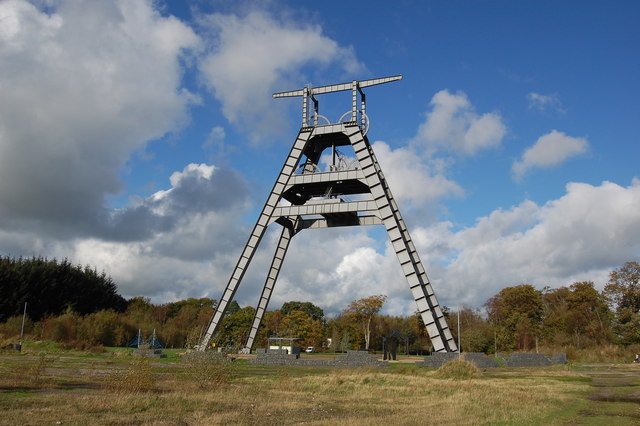
Barony A Frame
The Barony A Frame is a preserved headgear in East Ayrshire, Scotland, located 2 kilometres (1.2 mi) west of Auchinleck. One hundred and eighty feet high...
Nearby Amenities
Located within 500m of 55.439652,-4.3407165Have you been to Barmickhill Centre Belt?
Leave your review of Barmickhill Centre Belt below (or comments, questions and feedback).