Barmickhill Plantation
Wood, Forest in Ayrshire
Scotland
Barmickhill Plantation
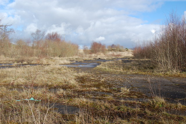
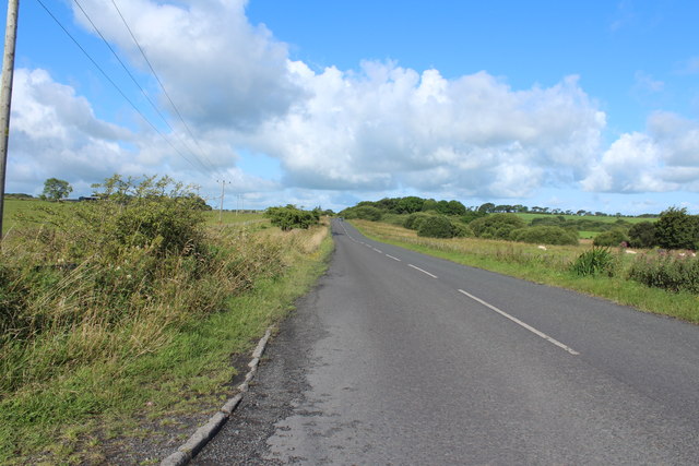
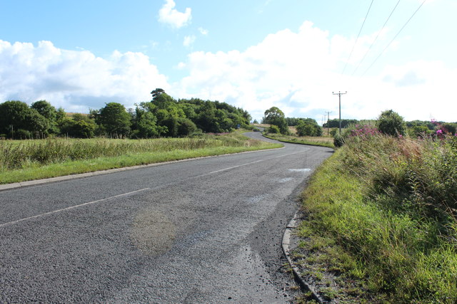
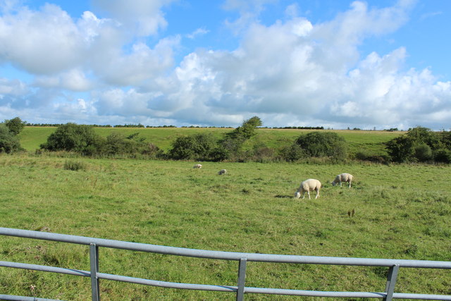
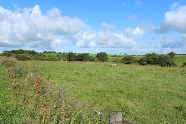
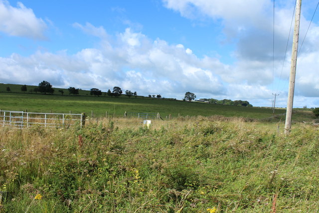
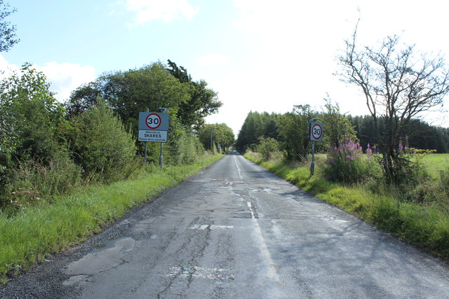
Barmickhill Plantation is a vast woodland area located in Ayrshire, Scotland. Spanning over several acres, it is a significant forested region that boasts a diverse range of flora and fauna. The plantation is situated near the town of Ayr and is easily accessible to visitors.
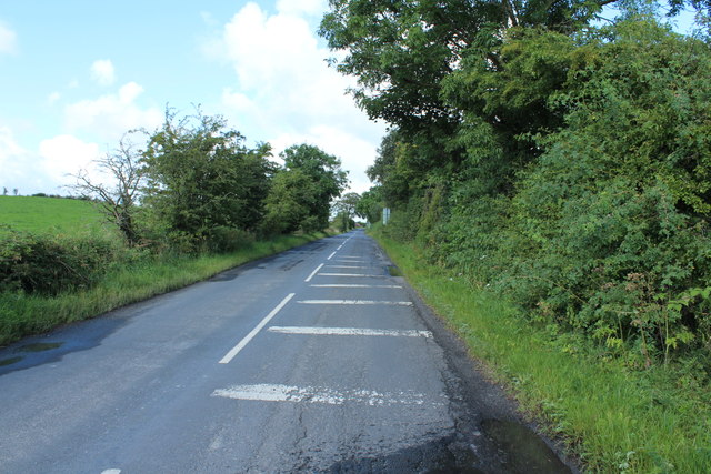
The woodland is characterized by its dense and lush vegetation, comprising mainly of mature deciduous trees such as oak, birch, and beech. These trees provide a rich canopy that casts a cool shade over the forest floor. The undergrowth is abundant with ferns, mosses, and wildflowers, creating a vibrant and picturesque setting.
Barmickhill Plantation is home to a variety of wildlife, making it a popular destination for nature enthusiasts and birdwatchers alike. The forest is inhabited by various species, including red squirrels, foxes, badgers, and deer. It is also a haven for numerous bird species, with sightings of woodpeckers, owls, and songbirds being common.
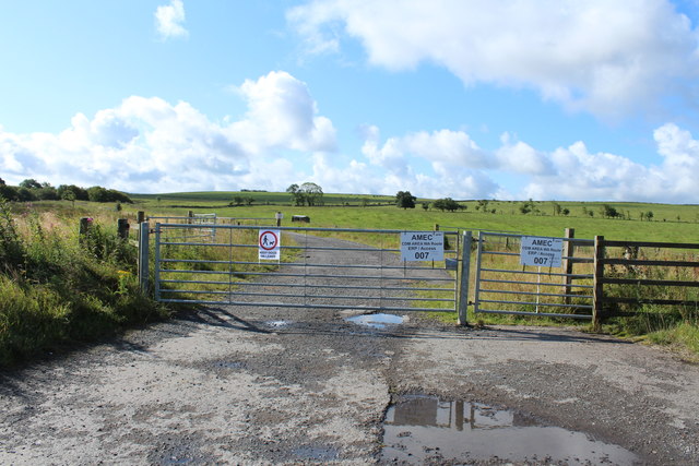
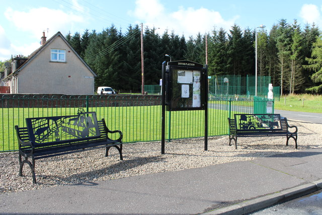
The plantation offers several walking trails and paths that allow visitors to explore the woodland at their own pace. These trails meander through the forest, providing breathtaking views of the surrounding landscape and opportunities to observe the local wildlife. The area is well-maintained, with clear signage and occasional benches for visitors to rest and take in the tranquility of the surroundings.
Overall, Barmickhill Plantation in Ayrshire is a captivating woodland area that offers a serene and immersive experience in nature. Its diverse range of trees, wildlife, and walking trails make it an ideal destination for outdoor enthusiasts and those seeking a peaceful retreat amidst the beauty of the Scottish countryside.
If you have any feedback on the listing, please let us know in the comments section below.
Barmickhill Plantation Images
Images are sourced within 2km of 55.436793/-4.33982 or Grid Reference NS5218. Thanks to Geograph Open Source API. All images are credited.

Barmickhill Plantation is located at Grid Ref: NS5218 (Lat: 55.436793, Lng: -4.33982)
Unitary Authority: East Ayrshire
Police Authority: Ayrshire
What 3 Words
///ensemble.clocking.quickly. Near Ochiltree, East Ayrshire
Nearby Locations
Related Wikis

Skares railway station
Skares railway station was a railway station serving the former mining village of Skares, East Ayrshire, Scotland. The station was originally part of the...

Ochiltree railway station
Ochiltree railway station was a railway station serving the village of Ochiltree, East Ayrshire, Scotland. The station was originally part of the Annbank...
Skares
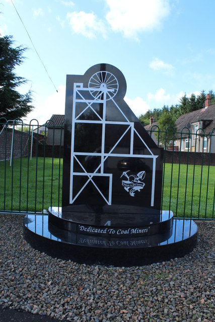
Skares is a village in East Ayrshire, Scotland. Skares is located some 3 miles (5 km) southwest of Cumnock. It used to have a football team called Skares...
South Palmerston Loch
South Palmerston Loch or Flush, previously known as Loch of the Hill, lying to the east of the 500 ft (152 m) Back hill Mount. It was one of several small...

Dumfries House railway station
Dumfries House railway station was a railway station near Dumfries House, East Ayrshire, Scotland. The station was originally part of the Annbank to Cronberry...

Dumfries House
Dumfries House is a Palladian country house within a large estate, two miles (3 km) west of Cumnock, East Ayrshire, Scotland.. Noted for being one of the...

Ochiltree
Ochiltree is a conservation village in East Ayrshire, Scotland, near Auchinleck and Cumnock. It is one of the oldest villages in East Ayrshire, with archaeological...
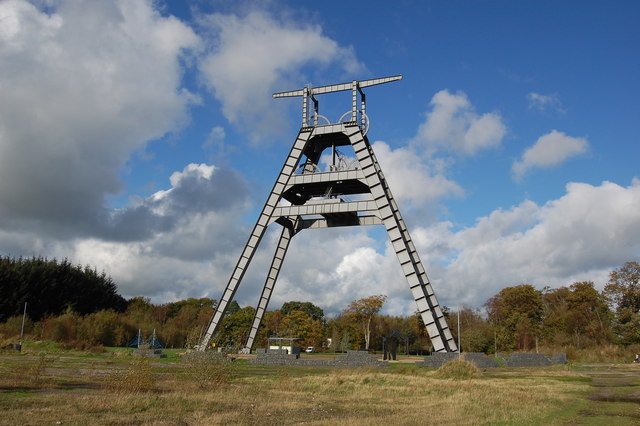
Barony A Frame
The Barony A Frame is a preserved headgear in East Ayrshire, Scotland, located 2 kilometres (1.2 mi) west of Auchinleck. One hundred and eighty feet high...
Nearby Amenities
Located within 500m of 55.436793,-4.33982Have you been to Barmickhill Plantation?
Leave your review of Barmickhill Plantation below (or comments, questions and feedback).