Auchinway Wood
Wood, Forest in Ayrshire
Scotland
Auchinway Wood
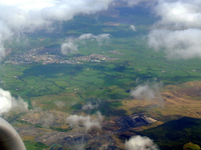
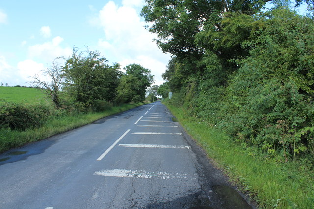
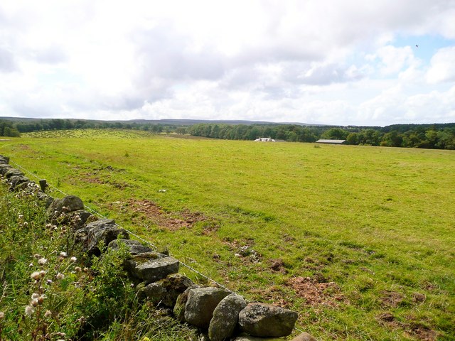
Auchinway Wood is a picturesque forest located in Ayrshire, Scotland. Covering an area of approximately 100 hectares, this wood is known for its diverse flora and fauna, making it a popular destination for nature enthusiasts and hikers alike.
The wood is predominantly made up of native broadleaf species, including oak, birch, beech, and ash trees. These towering trees create a dense canopy, providing shelter for a variety of wildlife. Visitors can expect to spot a range of bird species, such as woodpeckers, owls, and thrushes, as well as small mammals like squirrels and hedgehogs.
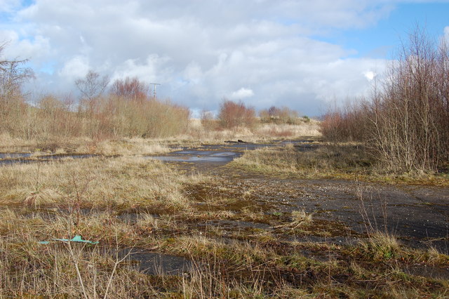
Tranquil streams and small ponds can also be found within Auchinway Wood, adding to its natural charm. These water features support a diverse aquatic ecosystem, attracting amphibians like frogs and newts. The wood's wetland areas are also home to a variety of water-loving plants, including water lilies and reeds.
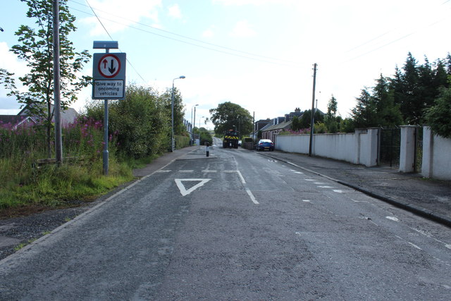
Auchinway Wood offers numerous walking trails for visitors to explore its natural beauty. These well-maintained paths wind through the forest, allowing individuals to immerse themselves in the serene surroundings. The wood is also equipped with picnic areas and benches, providing opportunities for visitors to relax and enjoy the tranquil atmosphere.
Due to its stunning landscape and rich biodiversity, Auchinway Wood has been designated as a Site of Special Scientific Interest (SSSI) by the Scottish Natural Heritage. This status ensures the preservation and protection of its unique ecological features for future generations to appreciate and enjoy.
If you have any feedback on the listing, please let us know in the comments section below.
Auchinway Wood Images
Images are sourced within 2km of 55.432909/-4.3257743 or Grid Reference NS5217. Thanks to Geograph Open Source API. All images are credited.


Auchinway Wood is located at Grid Ref: NS5217 (Lat: 55.432909, Lng: -4.3257743)
Unitary Authority: East Ayrshire
Police Authority: Ayrshire
What 3 Words
///country.intruders.theme. Near Ochiltree, East Ayrshire
Nearby Locations
Related Wikis
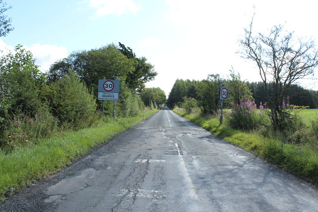
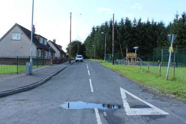
Skares
Skares is a village in East Ayrshire, Scotland. Skares is located some 3 miles (5 km) southwest of Cumnock. It used to have a football team called Skares...

Skares railway station
Skares railway station was a railway station serving the former mining village of Skares, East Ayrshire, Scotland. The station was originally part of the...

Dumfries House railway station
Dumfries House railway station was a railway station near Dumfries House, East Ayrshire, Scotland. The station was originally part of the Annbank to Cronberry...

Ochiltree railway station
Ochiltree railway station was a railway station serving the village of Ochiltree, East Ayrshire, Scotland. The station was originally part of the Annbank...

Dumfries House
Dumfries House is a Palladian country house within a large estate, two miles (3 km) west of Cumnock, East Ayrshire, Scotland.. Noted for being one of the...
South Palmerston Loch
South Palmerston Loch or Flush, previously known as Loch of the Hill, lying to the east of the 500 ft (152 m) Back hill Mount. It was one of several small...
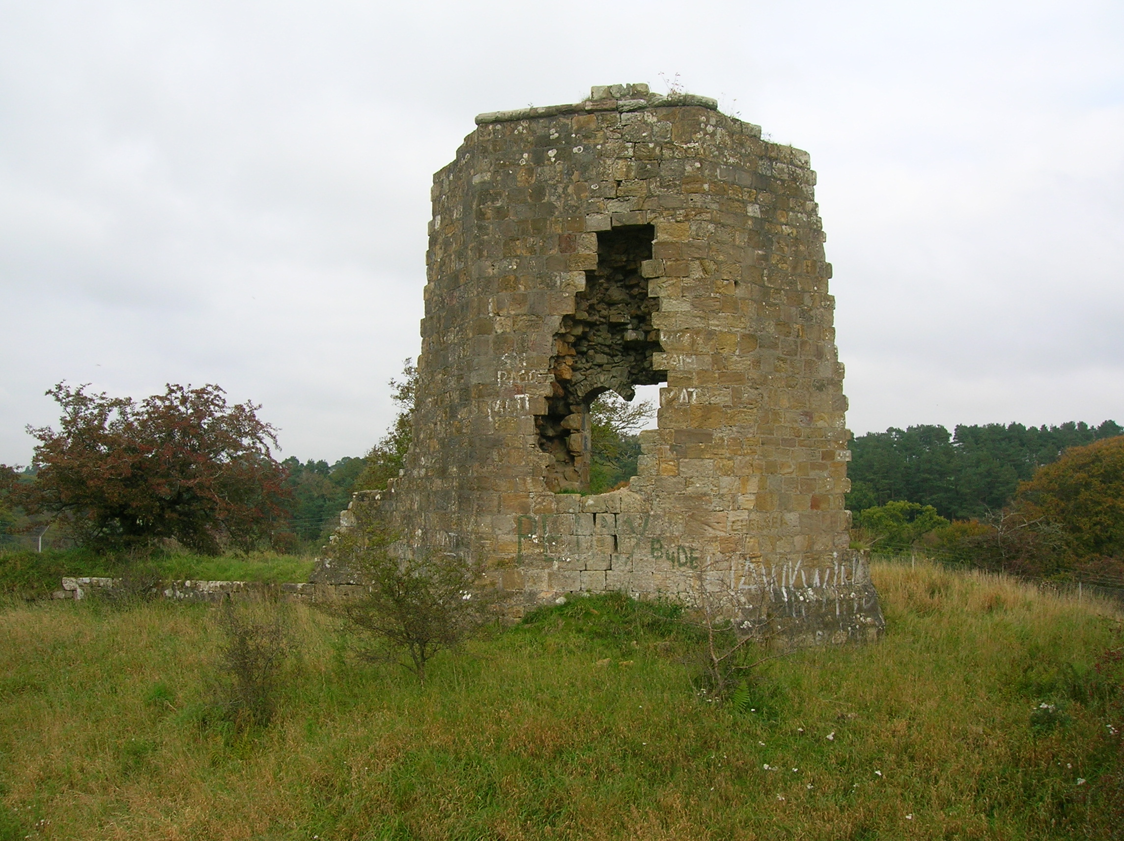
Terringzean Castle, East Ayrshire
Terringzean Castle, also Taringzean, pronounced 'Tringan', is a Category B listed castle ruin lying above the River Lugar and the Terringzean Holm in the...

East Ayrshire Community Hospital
East Ayrshire Community Hospital is a community hospital located in Ayr Road, Cumnock, Scotland. It is managed by NHS Ayrshire and Arran. == History... ==
Nearby Amenities
Located within 500m of 55.432909,-4.3257743Have you been to Auchinway Wood?
Leave your review of Auchinway Wood below (or comments, questions and feedback).