Low Muir Plantation
Wood, Forest in Ayrshire
Scotland
Low Muir Plantation
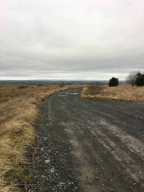
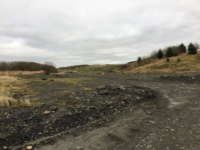
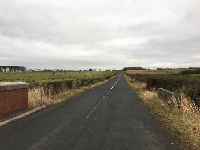
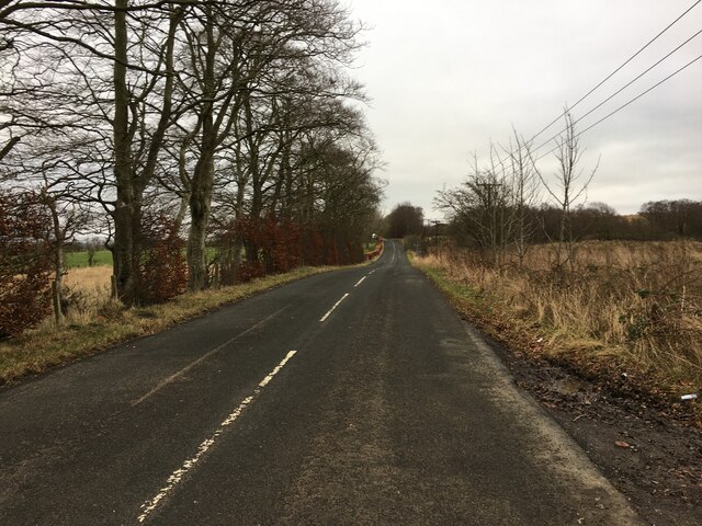
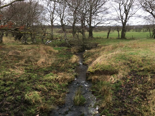
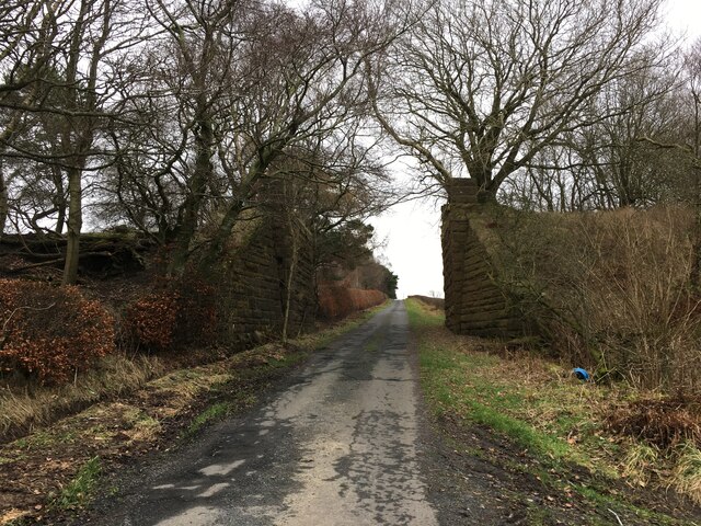
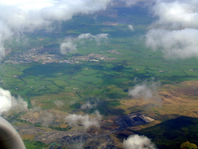
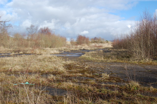
Low Muir Plantation is a sprawling woodland located in Ayrshire, Scotland. Covering an area of approximately 100 hectares, it is a significant natural resource in the region. The plantation primarily consists of various species of trees, including oak, beech, birch, and pine, creating a diverse and lush forest ecosystem.
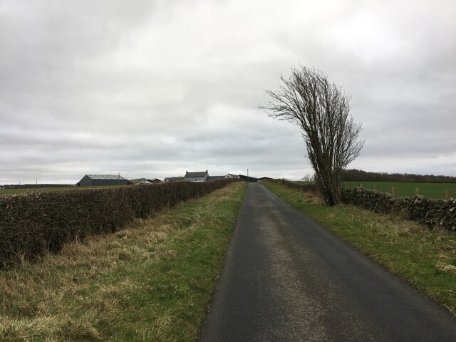
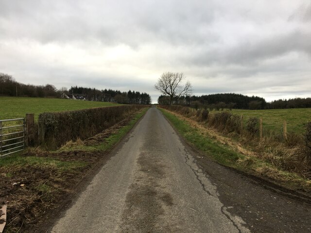
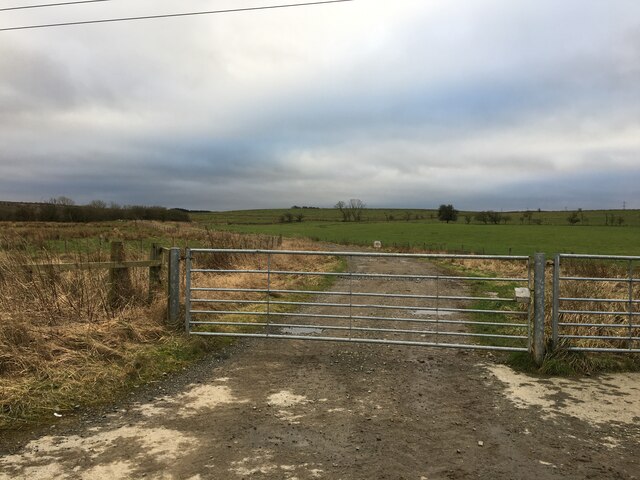
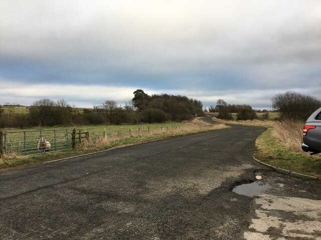
The woodland is known for its picturesque beauty, with its dense foliage and well-maintained trails that allow visitors to explore its natural wonders. The paths wind through the forest, providing an enchanting experience for hikers, nature enthusiasts, and photographers alike.
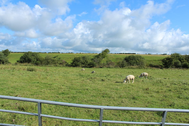
Low Muir Plantation is home to a wide array of flora and fauna. The dense canopy of trees provides habitat for numerous bird species, such as woodpeckers, owls, and songbirds. Additionally, the forest floor is adorned with a rich carpet of wildflowers, including bluebells, primroses, and foxgloves, adding bursts of vibrant colors to the landscape.
The woodland also serves as an important ecological corridor, connecting different habitats and enabling the movement of wildlife. It is not uncommon to spot squirrels, rabbits, and even deer roaming freely within the plantation.
Managed by a local conservation organization, Low Muir Plantation is committed to preserving and protecting the natural heritage of the area. The plantation offers educational programs and guided walks to raise awareness about the importance of biodiversity and sustainable forest management.
In conclusion, Low Muir Plantation is a captivating woodland, rich in biodiversity and natural beauty. Its well-maintained trails, diverse flora, and fauna, make it a haven for those seeking solace in nature.
If you have any feedback on the listing, please let us know in the comments section below.
Low Muir Plantation Images
Images are sourced within 2km of 55.428233/-4.3367213 or Grid Reference NS5217. Thanks to Geograph Open Source API. All images are credited.

Low Muir Plantation is located at Grid Ref: NS5217 (Lat: 55.428233, Lng: -4.3367213)
Unitary Authority: East Ayrshire
Police Authority: Ayrshire
What 3 Words
///binds.yourself.bugs. Near Ochiltree, East Ayrshire
Nearby Locations
Related Wikis

Skares
Skares is a village in East Ayrshire, Scotland. Skares is located some 3 miles (5 km) southwest of Cumnock. It used to have a football team called Skares...

Skares railway station
Skares railway station was a railway station serving the former mining village of Skares, East Ayrshire, Scotland. The station was originally part of the...

Ochiltree railway station
Ochiltree railway station was a railway station serving the village of Ochiltree, East Ayrshire, Scotland. The station was originally part of the Annbank...

Dumfries House railway station
Dumfries House railway station was a railway station near Dumfries House, East Ayrshire, Scotland. The station was originally part of the Annbank to Cronberry...
South Palmerston Loch
South Palmerston Loch or Flush, previously known as Loch of the Hill, lying to the east of the 500 ft (152 m) Back hill Mount. It was one of several small...

Dumfries House
Dumfries House is a Palladian country house in Ayrshire, Scotland. It is located within a large estate, around two miles (3 km) west of Cumnock. Noted...

Ochiltree
Ochiltree is a conservation village in East Ayrshire, Scotland, near Auchinleck and Cumnock. It is one of the oldest villages in East Ayrshire, with archaeological...
Plaid Loch
Plaid Loch (NS 485186) was a freshwater loch in East Ayrshire, now a remnant due to drainage, near Sinclairston and 2 miles (3 km) south-east of Drongan...
Nearby Amenities
Located within 500m of 55.428233,-4.3367213Have you been to Low Muir Plantation?
Leave your review of Low Muir Plantation below (or comments, questions and feedback).