Bowton Plantation
Wood, Forest in Ayrshire
Scotland
Bowton Plantation
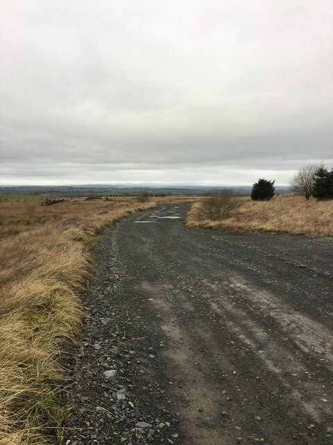
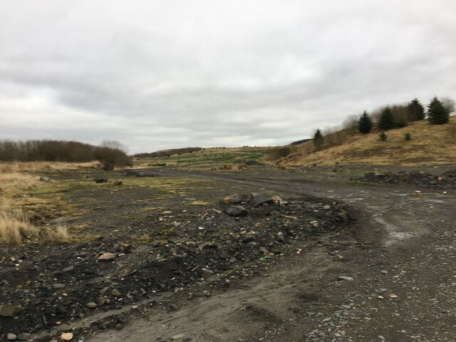
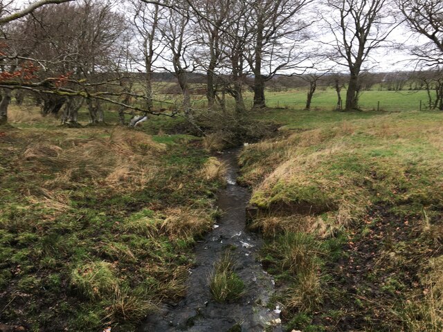
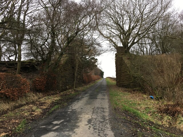
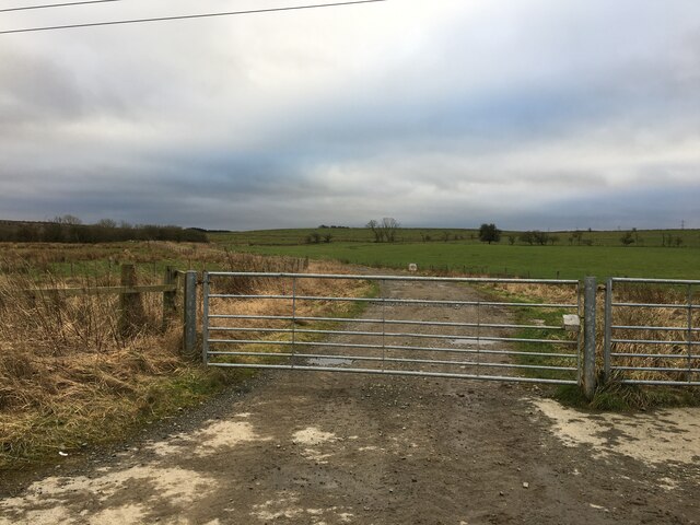
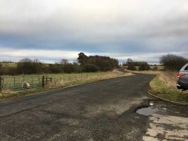
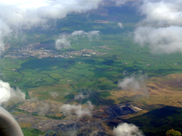
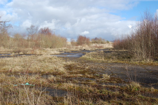
Bowton Plantation is a picturesque woodland located in Ayrshire, Scotland. Covering an extensive area, it is widely known for its rich biodiversity and scenic beauty. The plantation is nestled within the rolling hills and lush greenery of the Ayrshire countryside, making it a popular destination for nature enthusiasts and outdoor enthusiasts alike.
The woodland is primarily composed of native tree species such as oak, beech, and birch, creating a diverse and vibrant ecosystem. The trees provide a habitat for a wide variety of wildlife, including deer, squirrels, and numerous bird species. Walking through the plantation, visitors can expect to encounter a tranquil and peaceful environment, with the soothing sounds of birdsong and rustling leaves.
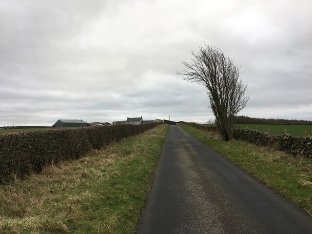
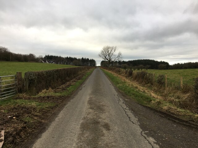
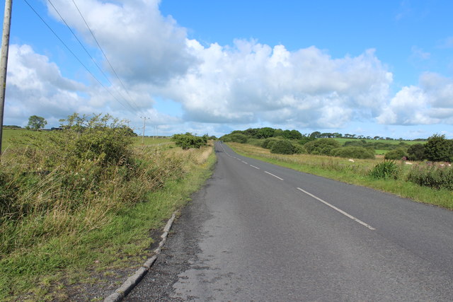
Bowton Plantation offers a network of well-maintained trails, allowing visitors to explore its beauty at their own pace. These trails vary in length and difficulty, catering to both casual walkers and more experienced hikers. Along the way, there are several viewpoints and picnic spots, providing opportunities to rest and take in the stunning surroundings.
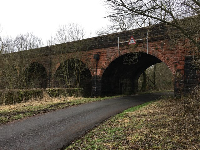
The plantation also has a rich history, with evidence of human presence dating back centuries. Archaeological remains, including ancient stone structures and burial sites, can be found throughout the woodland, adding a sense of cultural significance to the area.
Overall, Bowton Plantation is a hidden gem in Ayrshire, offering a peaceful retreat from the bustling city life. Its natural beauty, diverse wildlife, and rich history make it a must-visit destination for nature lovers and history enthusiasts alike.
If you have any feedback on the listing, please let us know in the comments section below.
Bowton Plantation Images
Images are sourced within 2km of 55.429434/-4.3392264 or Grid Reference NS5217. Thanks to Geograph Open Source API. All images are credited.


Bowton Plantation is located at Grid Ref: NS5217 (Lat: 55.429434, Lng: -4.3392264)
Unitary Authority: East Ayrshire
Police Authority: Ayrshire
What 3 Words
///washroom.sprinkler.warrior. Near Ochiltree, East Ayrshire
Nearby Locations
Related Wikis

Skares
Skares is a village in East Ayrshire, Scotland. Skares is located some 3 miles (5 km) southwest of Cumnock. It used to have a football team called Skares...

Skares railway station
Skares railway station was a railway station serving the former mining village of Skares, East Ayrshire, Scotland. The station was originally part of the...

Ochiltree railway station
Ochiltree railway station was a railway station serving the village of Ochiltree, East Ayrshire, Scotland. The station was originally part of the Annbank...

Dumfries House railway station
Dumfries House railway station was a railway station near Dumfries House, East Ayrshire, Scotland. The station was originally part of the Annbank to Cronberry...
South Palmerston Loch
South Palmerston Loch or Flush, previously known as Loch of the Hill, lying to the east of the 500 ft (152 m) Back hill Mount. It was one of several small...

Dumfries House
Dumfries House is a Palladian country house in Ayrshire, Scotland. It is located within a large estate, around two miles (3 km) west of Cumnock. Noted...

Ochiltree
Ochiltree is a conservation village in East Ayrshire, Scotland, near Auchinleck and Cumnock. It is one of the oldest villages in East Ayrshire, with archaeological...
Plaid Loch
Plaid Loch (NS 485186) was a freshwater loch in East Ayrshire, now a remnant due to drainage, near Sinclairston and 2 miles (3 km) south-east of Drongan...
Nearby Amenities
Located within 500m of 55.429434,-4.3392264Have you been to Bowton Plantation?
Leave your review of Bowton Plantation below (or comments, questions and feedback).