Bowhillbank Plantation
Wood, Forest in Ayrshire
Scotland
Bowhillbank Plantation
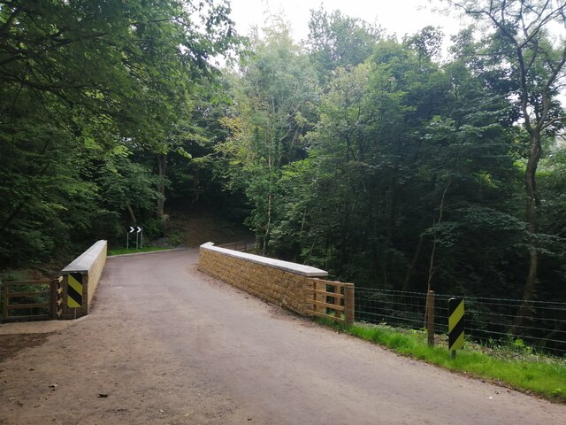
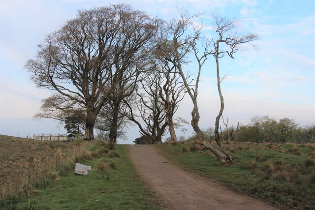
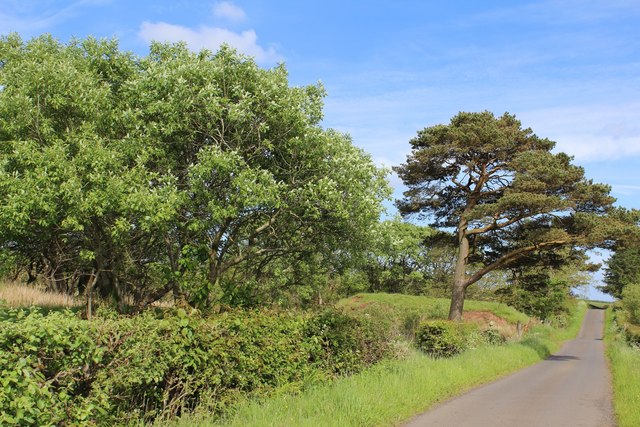
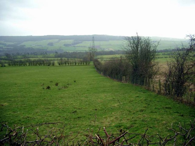
Bowhillbank Plantation is a sprawling woodland located in Ayrshire, Scotland. Covering an area of approximately 500 acres, it is a vital part of the region's natural landscape. The plantation is primarily composed of a mixture of native and non-native tree species, including oak, beech, birch, and spruce.
The woodland is a haven for wildlife, providing a diverse range of habitats for various species. It is home to a variety of bird species, including the great spotted woodpecker, tawny owl, and redstart. Mammals such as red squirrels, badgers, and roe deer can also be found within the plantation.
Bowhillbank Plantation offers a range of recreational activities for visitors. There are several walking trails that wind through the woodland, allowing visitors to explore and appreciate the natural beauty of the area. These trails cater to different fitness levels, with options for both leisurely strolls and more challenging hikes.
The plantation is managed sustainably, with a focus on maintaining and enhancing the biodiversity of the area. Regular tree planting initiatives are undertaken to ensure the continued growth and health of the woodland. Additionally, conservation efforts are in place to protect and preserve the native wildlife.
Bowhillbank Plantation is not only a picturesque destination for nature enthusiasts but also serves as an important ecological resource in Ayrshire. Its serene atmosphere and abundant wildlife make it a must-visit for anyone seeking a peaceful retreat in the heart of Scotland.
If you have any feedback on the listing, please let us know in the comments section below.
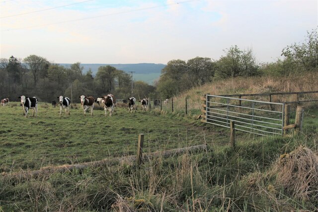
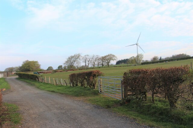
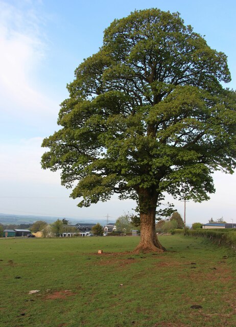
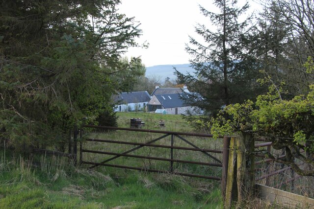
Bowhillbank Plantation Images
Images are sourced within 2km of 55.624123/-4.3491787 or Grid Reference NS5239. Thanks to Geograph Open Source API. All images are credited.
Bowhillbank Plantation is located at Grid Ref: NS5239 (Lat: 55.624123, Lng: -4.3491787)
Unitary Authority: East Ayrshire
Police Authority: Ayrshire
What 3 Words
///magic.balconies.tribune. Near Newmilns, East Ayrshire
Nearby Locations
Related Wikis

Twist n' Shout
Twist n' Shout is a steel looping roller coaster located at Loudoun Castle Theme Park in Galston, south-west Scotland. It opened in 2003 as a part of the...

Loudoun Castle (theme park)
Loudoun Castle was a theme park set around the ruins of the 19th century Loudoun Castle near Galston, in the Loudoun area of Ayrshire, Scotland, United...

Loudoun Castle
Loudoun Castle is a ruined 19th-century country house near Galston, in the Loudoun area of Ayrshire, Scotland. The ruins are protected as a category A...

Newmilns
Newmilns is a village in the burgh of Newmilns and Greenholm, in East Ayrshire, Scotland. It has a population of 3,057 people (2001 census) and lies on...
Loudoun
Loudoun (Scottish Gaelic: Lughdan) is a parish in East Ayrshire, Scotland and lies between five and ten miles east of Kilmarnock. The parish roughly encompasses...

Newmilns Tower
Newmilns Tower is a 16th-century tower house, on Main Street, Newmilns, north of the River Irvine, East Ayrshire, Scotland. It may also be called Newmilns...
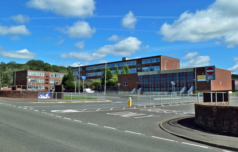
Loudoun Academy, Galston
Loudoun Academy is a secondary school in the outskirts of Galston, East Ayrshire, in Scotland serving the Loudoun district which includes the Irvine Valley...

Castle and Lands of Auchruglen
The Castle and Lands of Auchruglen (NS5365436797) was a peel tower in the old district of Kyle held at different times by the Nesbitt and Campbell Clans...
Nearby Amenities
Located within 500m of 55.624123,-4.3491787Have you been to Bowhillbank Plantation?
Leave your review of Bowhillbank Plantation below (or comments, questions and feedback).