Bowhill Plantation
Wood, Forest in Ayrshire
Scotland
Bowhill Plantation
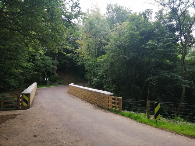
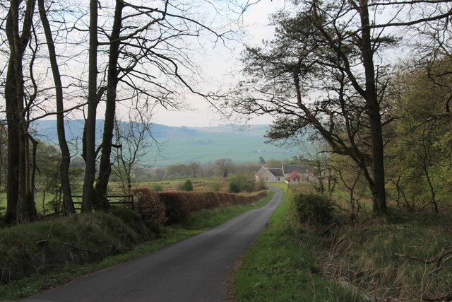
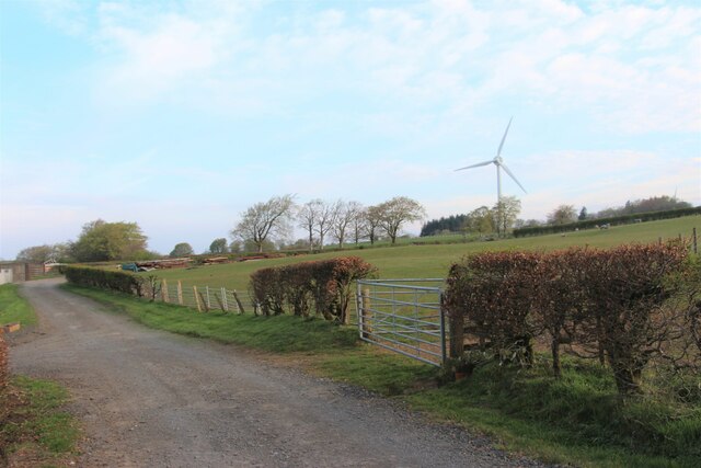
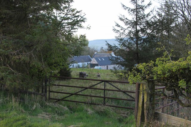
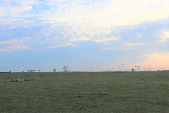
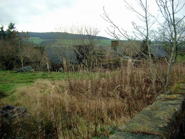
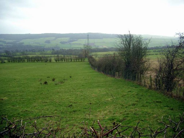
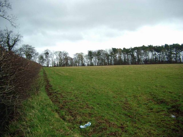
Bowhill Plantation is a picturesque woodland located in Ayrshire, Scotland. Covering an expansive area of approximately 500 acres, it is a haven for nature enthusiasts and outdoor adventurers alike. The plantation is nestled within the beautiful countryside, offering stunning views and a serene atmosphere.
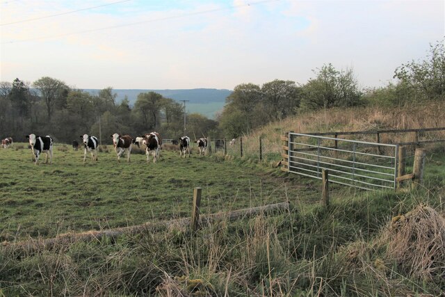
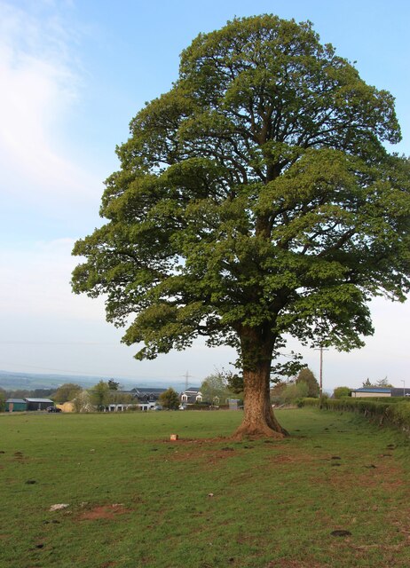
The woodland is primarily composed of native species such as oak, birch, and beech, creating a diverse and vibrant ecosystem. The dense canopy provides shelter for a wide range of wildlife, including birds, squirrels, and deer. Rare and endangered species, such as the red squirrel and the Scottish wildcat, can also be found within the plantation.
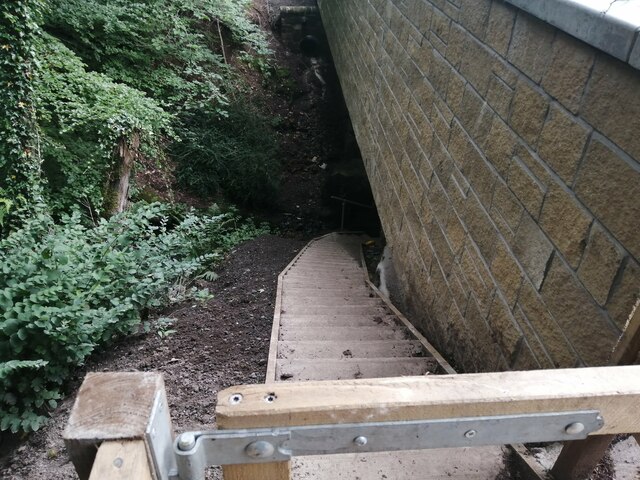
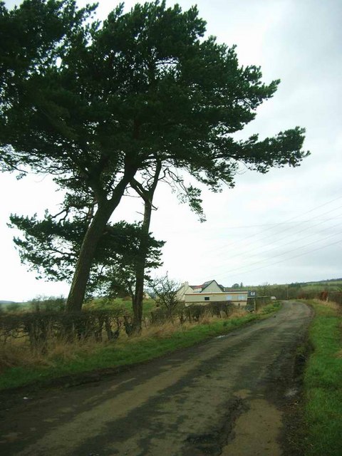
Bowhill Plantation features a network of well-maintained walking trails, allowing visitors to explore the woodland and enjoy its natural beauty. These paths vary in length and difficulty, catering to both casual strollers and more experienced hikers. Along the way, visitors may encounter charming streams, small waterfalls, and enchanting wildflowers.
The plantation is also home to a variety of recreational facilities, including picnic areas and a designated barbecue spot. These amenities make it an ideal location for family outings and social gatherings. Additionally, Bowhill Plantation offers opportunities for outdoor pursuits such as mountain biking and horseback riding, with designated trails and tracks available for these activities.
Overall, Bowhill Plantation in Ayrshire is a treasured woodland, providing a tranquil escape from the hustle and bustle of everyday life. Its natural beauty, diverse wildlife, and recreational offerings make it a beloved destination for locals and tourists alike.
If you have any feedback on the listing, please let us know in the comments section below.
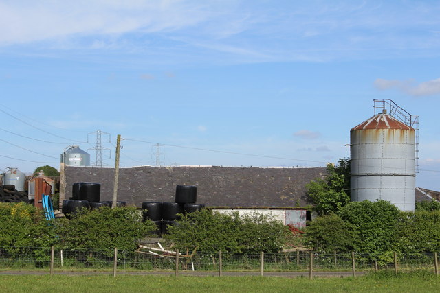
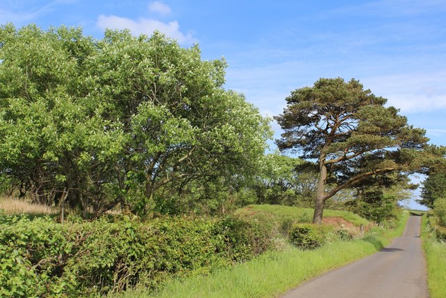
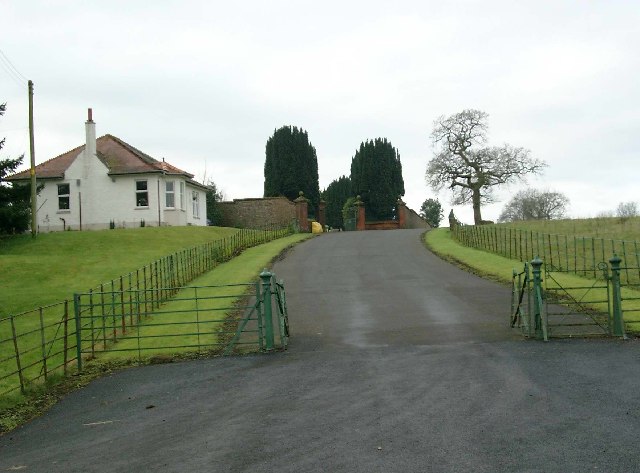
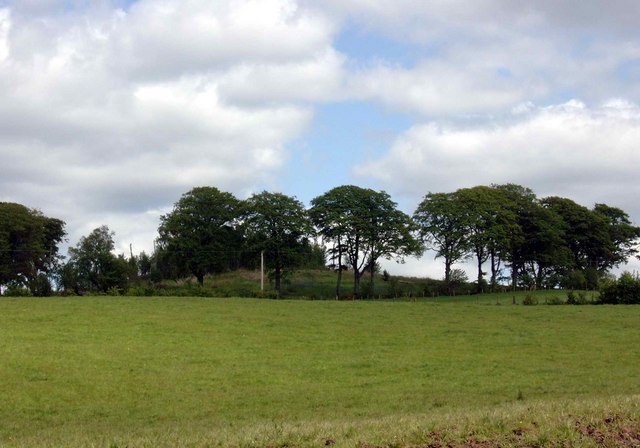
Bowhill Plantation Images
Images are sourced within 2km of 55.626774/-4.3374867 or Grid Reference NS5239. Thanks to Geograph Open Source API. All images are credited.
Bowhill Plantation is located at Grid Ref: NS5239 (Lat: 55.626774, Lng: -4.3374867)
Unitary Authority: East Ayrshire
Police Authority: Ayrshire
What 3 Words
///final.joints.paper. Near Newmilns, East Ayrshire
Nearby Locations
Related Wikis

Newmilns
Newmilns is a village in the burgh of Newmilns and Greenholm, in East Ayrshire, Scotland. It has a population of 3,057 people (2001 census) and lies on...

Loudoun
Loudoun (Scottish Gaelic: Lughdan) is a parish in East Ayrshire, Scotland and lies between five and ten miles east of Kilmarnock. The parish roughly encompasses...

Newmilns Tower
Newmilns Tower is a 16th-century tower house, on Main Street, Newmilns, north of the River Irvine, East Ayrshire, Scotland. It may also be called Newmilns...

Twist n' Shout
Twist n' Shout is a steel looping roller coaster located at Loudoun Castle Theme Park in Galston, south-west Scotland. It opened in 2003 as a part of the...

Castle and Lands of Auchruglen
The Castle and Lands of Auchruglen (NS5365436797) was a peel tower in the old district of Kyle held at different times by the Nesbitt and Campbell Clans...

Loudoun Castle
Loudoun Castle is a ruined 19th-century country house near Galston, in the Loudoun area of Ayrshire, Scotland. The ruins are protected as a category A...
Loudoun Castle (theme park)
Loudoun Castle was a theme park set around the ruins of the 19th century Loudoun Castle near Galston, in the Loudoun area of Ayrshire, Scotland, United...
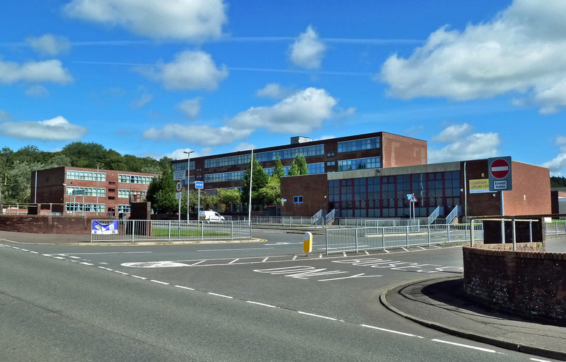
Loudoun Academy, Galston
Loudoun Academy is a secondary school in the outskirts of Galston, East Ayrshire, in Scotland serving the Loudoun district which includes the Irvine Valley...
Nearby Amenities
Located within 500m of 55.626774,-4.3374867Have you been to Bowhill Plantation?
Leave your review of Bowhill Plantation below (or comments, questions and feedback).