Hole Mawkin Wood

Wood, Forest in Stirlingshire

Scotland

Hole Mawkin Wood

Killearn church This church was built in 1882.
Killearn church Credit: Kevin Rae

Hole Mawkin Wood is a picturesque woodland located in Stirlingshire, Scotland. Spanning over a vast area, this woodland is renowned for its natural beauty and diverse ecosystem. It is situated near the small village of Thornhill, nestled in the heart of the Scottish countryside.

The wood is mainly composed of native tree species, including oak, birch, and hazel, which create a dense canopy, providing shade and shelter for various wildlife. The forest floor is covered in a thick layer of moss and ferns, adding to the enchanting atmosphere of the wood.

Hole Mawkin Wood is a haven for wildlife enthusiasts and nature lovers alike. It is home to a wide array of animal species, including red squirrels, roe deer, and a variety of bird species. The wood provides a rich habitat for these creatures, with its abundance of food sources and natural shelters.

Visitors to Hole Mawkin Wood can enjoy a range of outdoor activities, such as walking, hiking, and bird watching. There are several well-maintained trails that wind through the woods, offering breathtaking views of the surrounding countryside. The tranquil atmosphere and the sound of birdsong make it an ideal destination for those seeking a peaceful retreat in nature.

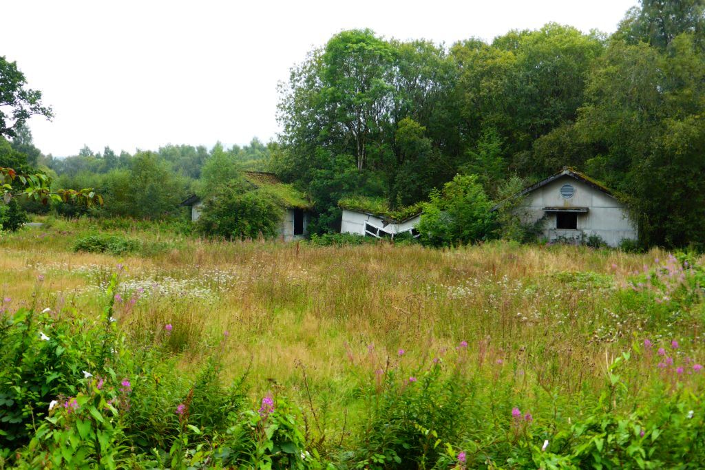
The wood is also steeped in history, with remnants of old settlements and ancient structures scattered throughout its grounds. It is believed that the wood has been inhabited since prehistoric times, making it a site of archaeological interest.

Overall, Hole Mawkin Wood is a captivating woodland that offers visitors a chance to immerse themselves in the beauty of nature and explore its rich history.

If you have any feedback on the listing, please let us know in the comments section below.

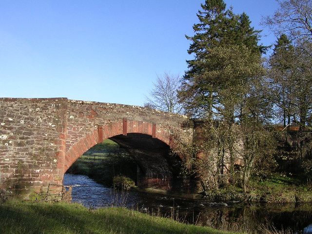
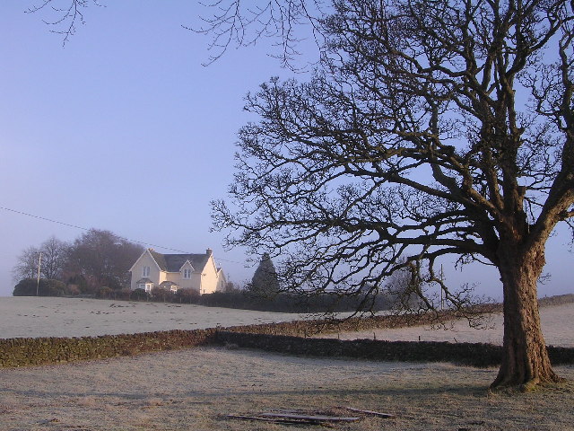
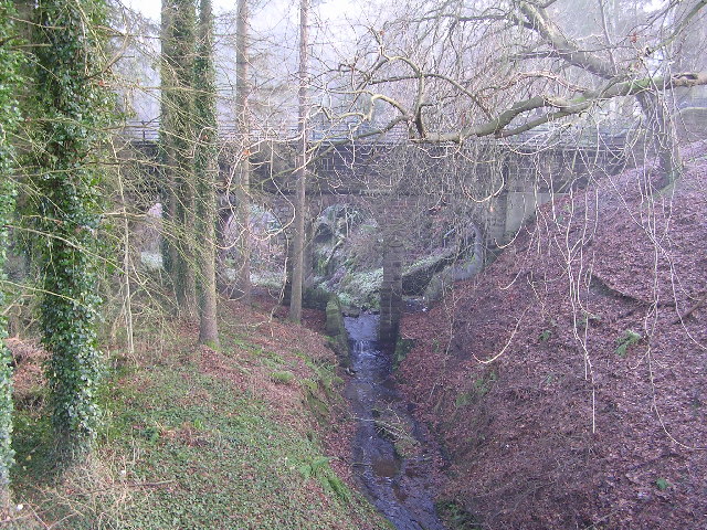
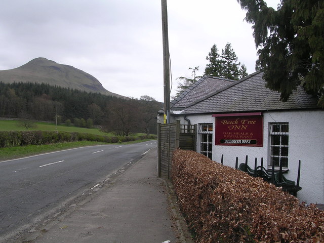
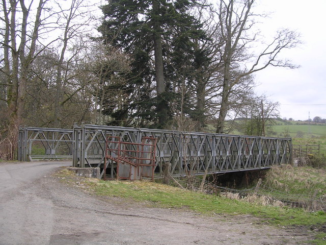
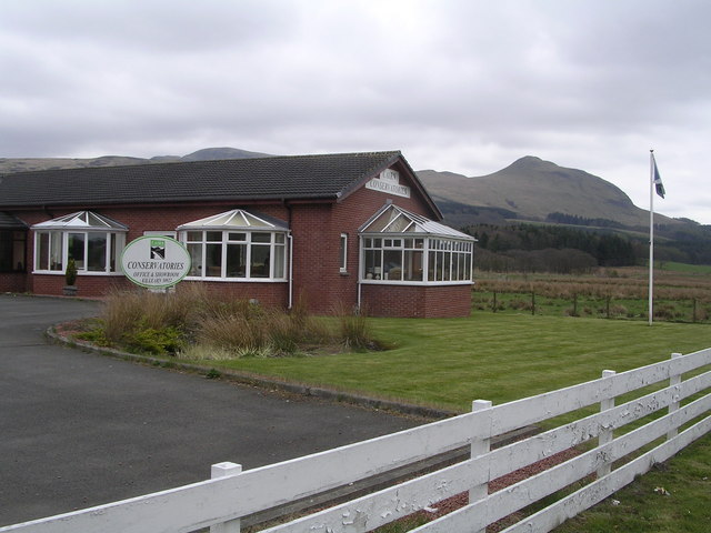
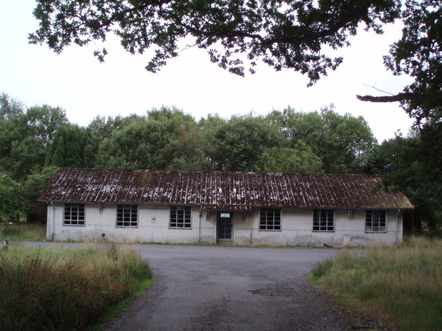
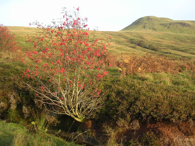
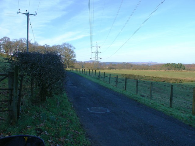
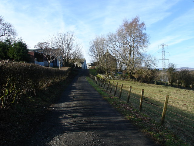
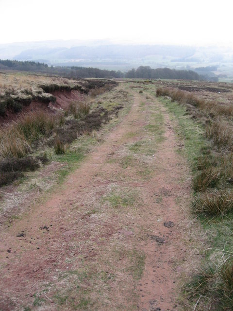
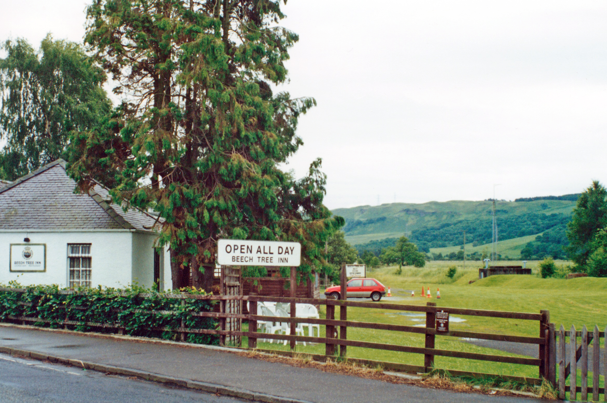
Hole Mawkin Wood Images

Images are sourced within 2km of 56.031532/-4.3738132 or Grid Reference NS5284. Thanks to Geograph Open Source API. All images are credited.

Killearn church This church was built in 1882.
Killearn church
This church was built in 1882.
Blane Bridge Spans the Blane Water
Blane Bridge
Spans the Blane Water
Last House in Killearn Before hitting open countryside to the south west
Last House in Killearn
Before hitting open countryside to the south west
Killearn Churches on Remembrance Sunday
Killearn Cemetery and The Firs
High Lettre Farm, Killearn A collection of photos from geograph contributors around the British Isles and Ireland.
See them on a map <a title="https://www.geograph.org.uk/search.php?i=134495916" href="https://www.geograph.org.uk/search.php?i=134495916">Link</a>
High Lettre Farm, Killearn
A collection of photos from geograph contributors around the British Isles and Ireland. See them on a map Link
Aqueduct across Kirkhouse Burn, Killearn This is carrying the water pipes from Loch Katrine to Glasgow
Aqueduct across Kirkhouse Burn, Killearn
This is carrying the water pipes from Loch Katrine to Glasgow
Beech Tree Inn, near Dumgoyne A popular resting point on the West Highland Way, overlooked by the volcanic plug of Dumgoyne
Beech Tree Inn, near Dumgoyne
A popular resting point on the West Highland Way, overlooked by the volcanic plug of Dumgoyne
Moss Bridge, near Dumgoyne The bridge spans the Blane Water which flows through Strathblane
Moss Bridge, near Dumgoyne
The bridge spans the Blane Water which flows through Strathblane
Cairn Conservatories, near Dumgoyne Conservatory sales centre on very dangerous bend in the A81. Site of several serious and fatal road accidents.
Cairn Conservatories, near Dumgoyne
Conservatory sales centre on very dangerous bend in the A81. Site of several serious and fatal road accidents.
Derelict Buildings Derelict buildings to the east of Killearn House. A new roundabout has just been built opposite.
Derelict Buildings
Derelict buildings to the east of Killearn House. A new roundabout has just been built opposite.
Rowan Tree in Patterson's Glen Looking SE towards Dumgoyne
Rowan Tree in Patterson's Glen
Looking SE towards Dumgoyne
Auchenibert Lane Looking northwest
Auchenibert Lane
Looking northwest
Blaneswell Pylons
Blaneswell Pylons
Carston Farm
Carston Farm
Moorland track
Moorland track
Parish Church The Church and Obelisk at Killearn on the main road through the town.
Parish Church
The Church and Obelisk at Killearn on the main road through the town.
Killearn An image of the main street Killearn on a winter's day.
Killearn
An image of the main street Killearn on a winter's day.
Show me another place!

Hole Mawkin Wood is located at Grid Ref: NS5284 (Lat: 56.031532, Lng: -4.3738132)

Unitary Authority: Stirling

Police Authority: Forth Valley

What 3 Words

///ever.brightly.crescendo. Near Killearn, Stirling

Related Wikis

Dumgoyne railway station

Dumgoyne railway station served the village of Killearn, Stirling, Scotland from 1867 to 1951 on the Blane Valley Railway. == History == The station was...

Killearn

Killearn (Scottish Gaelic: Cill Fhearann, from orig. Ceann Fhearann, "Head/End of (the) Land/Territory" – until the 15th century when Ceann was replaced...

Killearn Hospital

Killearn Hospital was a health facility at Killearn in the Stirling council area of Scotland. == History == The hospital was established as one of seven...

Killearn railway station

Killearn railway station served the village of Killearn, Stirling, Scotland from 1882 to 1951 on the Blane Valley Railway. == History == The station opened...

Glengoyne distillery

Glengoyne distillery is a whisky distillery continuously in operation since its founding in 1833 at Dumgoyne, north of Glasgow, Scotland. Glengoyne is...

Finnich Glen

Finnich Glen in Stirlingshire, is a short, steep glen up to 70 ft deep which runs east from Finnich Bridge on the A809. It was carved from the red sandstone...

Dumgoyne

Dumgoyne is a hill prominent on the edge of the Campsie Fells and is a well-known landmark visible from Glasgow. It is a volcanic plug and is 427 m (1...

Gartness

Gartness is a hamlet in Stirling, Scotland. It is located 1.8 miles/2.9 km from Killearn and 3.1 miles/5 km from Drymen. Most pupils attend Killearn Primary...

Nearby Amenities

Located within 500m of 56.031532,-4.3738132
Power: pole
Lat/Long: 56.0274366/-4.3718188
Power: pole
Lat/Long: 56.0280595/-4.37189
Power: pole
Lat/Long: 56.0287035/-4.371934
Power: pole
Lat/Long: 56.0293686/-4.3719801
Power: pole
Lat/Long: 56.0300137/-4.3720346
Power: pole
Lat/Long: 56.0306893/-4.3720912
Power: pole
Lat/Long: 56.0313671/-4.3721352
Power: pole
Lat/Long: 56.0313543/-4.3710812
Power: pole
Lat/Long: 56.0313812/-4.3696731
Power: pole
Lat/Long: 56.0314116/-4.3685542
Power: pole
Lat/Long: 56.0313917/-4.3680596
Material: wood
Power: pole
Lat/Long: 56.0321047/-4.3678983
Power: pole
Lat/Long: 56.0324946/-4.3677977
Power: pole
Lat/Long: 56.032429/-4.3670329
Power: pole
Lat/Long: 56.032381/-4.366201
Power: pole
Lat/Long: 56.0293721/-4.3705553
Power: pole
Lat/Long: 56.0292199/-4.3696333
Power: pole
Lat/Long: 56.0290571/-4.3685437
Power: pole
Lat/Long: 56.0302092/-4.3728162
Power: pole
Lat/Long: 56.0297374/-4.3735559
Power: pole
Lat/Long: 56.0296238/-4.3745659
Power: pole
Lat/Long: 56.0295161/-4.3756534
Power: pole
Lat/Long: 56.0294177/-4.3764392
Power: pole
Lat/Long: 56.0292655/-4.3777802
Power: pole
Lat/Long: 56.0291215/-4.379136
Power: pole
Lat/Long: 56.0357831/-4.3741877
Power: pole
Lat/Long: 56.033286/-4.3735171
Power: pole
Lat/Long: 56.0332286/-4.3748833
Power: pole
Lat/Long: 56.0331713/-4.3762454
Power: pole
Lat/Long: 56.0331362/-4.3771862
Power: pole
Lat/Long: 56.0330987/-4.3782779
Power: pole
Lat/Long: 56.0330671/-4.3791244
Power: pole
Lat/Long: 56.0330226/-4.3802015
Power: pole
Lat/Long: 56.0329875/-4.3812031
The data included in this document is from www.openstreetmap.org. The data is made available under ODbL.

Have you been to Hole Mawkin Wood?

Leave your review of Hole Mawkin Wood below (or comments, questions and feedback).