Black Wood
Wood, Forest in Ross-shire
Scotland
Black Wood
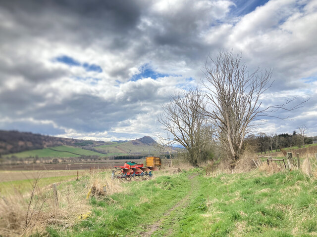
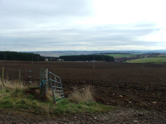
Black Wood is a dense forest located in Ross-shire, Scotland. Covering an area of approximately 500 acres, it is known for its rich biodiversity and stunning natural beauty. The forest is predominantly composed of tall, ancient pine trees that create a dark, mysterious atmosphere, hence its name.
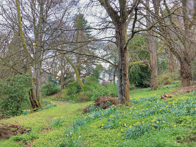
The woodland is home to a wide range of flora and fauna, providing a habitat for numerous species. The forest floor is carpeted with mosses, ferns, and wildflowers, while the canopy provides shelter for a variety of bird species, including woodpeckers and owls. Red squirrels can often be spotted darting through the trees, and if lucky, visitors may catch a glimpse of a roe deer or fox.
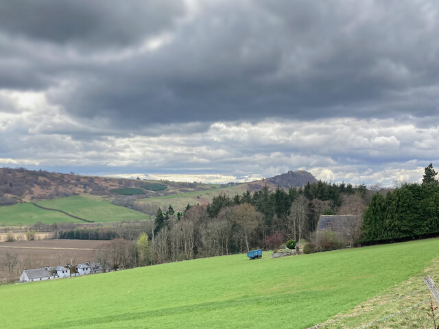
Traversing through Black Wood, visitors can follow a series of well-maintained walking trails, allowing them to explore the forest's serene and tranquil environment. The paths wind through the dense foliage, offering glimpses of hidden streams and small cascades. The forest's proximity to the Black Water River also provides an opportunity for visitors to enjoy riverside walks and admire the picturesque scenery.
Black Wood holds historical and cultural significance as well. It is believed that the forest has been in existence for centuries, and remnants of an old settlement from the Iron Age have been discovered within its boundaries. The forest has also inspired artists and writers throughout the years, with its mystical atmosphere and enchanting beauty.
Overall, Black Wood in Ross-shire offers a captivating experience for nature enthusiasts, providing a sanctuary of tranquility and a glimpse into the diverse and awe-inspiring world of Scotland's ancient forests.
If you have any feedback on the listing, please let us know in the comments section below.
Black Wood Images
Images are sourced within 2km of 57.590504/-4.4750622 or Grid Reference NH5258. Thanks to Geograph Open Source API. All images are credited.


Black Wood is located at Grid Ref: NH5258 (Lat: 57.590504, Lng: -4.4750622)
Unitary Authority: Highland
Police Authority: Highlands and Islands
What 3 Words
///disposal.mistaking.punk. Near Dingwall, Highland
Nearby Locations
Related Wikis

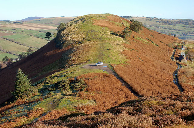
Knockfarrel
Knockfarrel (Scottish Gaelic: Cnoc Fearghalaigh) is a village, 1 mile east of Strathpeffer, in Dingwall in Ross-shire, Scottish Highlands and is in the...

Fodderty
Fodderty (Scottish Gaelic: Fodhraitidh) is a small hamlet, close to Dingwall, Ross-shire in the Scottish Highlands and is in the Scottish council area...

Bottacks
Bottacks (Na Botagan in Scottish Gaelic) is a small scattered township, located 1.5 miles north north east of Strathpeffer, in Ross-shire, Scottish Highlands...
Maryburgh
Maryburgh (Scottish Gaelic: Baile Màiri) is a village in the Highland council area of Scotland, 2 miles (3.2 km) south of Dingwall. It is situated on the...
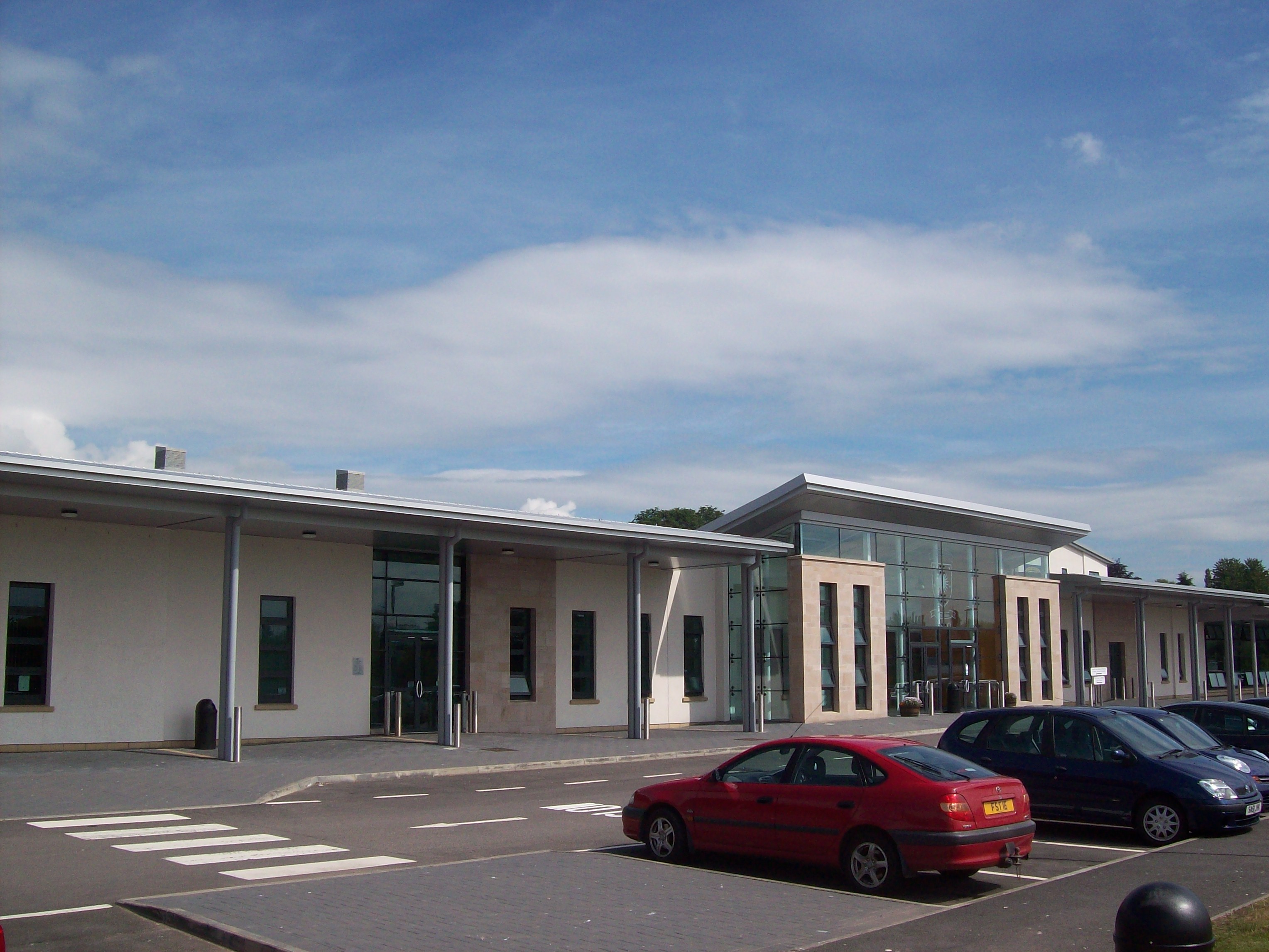
County Buildings, Dingwall
County Buildings is a municipal structure in the High Street, Dingwall, Highland, Scotland. The complex was the headquarters of Ross and Cromarty County...
Battle of Drumchatt (1497)
The Battle of Drumchatt was a Scottish clan battle that took place in 1497. The Clan Mackenzie and possibly the Clan Munro defeated the Clan MacDonald...
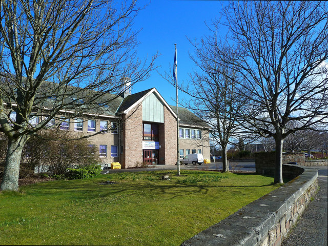
Dingwall Academy
Dingwall Academy is the largest secondary school in the Highlands of Scotland, with an enrolment of 1048 pupils as of August 2018. The Academy is situated...

Dingwall Town Hall
Dingwall Town Hall is a municipal structure in the High Street, Dingwall, Highland, Scotland. The structure, which is now used as a museum, is a Category...
Related Videos

Knockfarrel Climb!
Knock Farrel is Strathpeffer's local hill. It is also called locally 'the cat's back'. “The best view comes after the hardest climb.

The Peffrey Way and Knockfarrel
A walk along the Peffrey way and up Knockfarrel couldn't get the links in the video so see below Walk around the top.

Steam Train Near Fodderty On History Visit To The Highlands Of Scotland
Tour Scotland short travel video clip of a steam train near Fodderty on ancestry, genealogy, history visit to the Scottish Highlands.
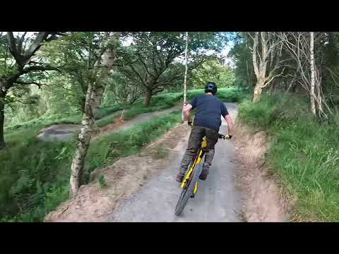
Knockbain Blue
Blue MTB route at Knockbain Farm, Dingwall.
Nearby Amenities
Located within 500m of 57.590504,-4.4750622Have you been to Black Wood?
Leave your review of Black Wood below (or comments, questions and feedback).