Brahan Wood
Wood, Forest in Ross-shire
Scotland
Brahan Wood
The requested URL returned error: 429 Too Many Requests
If you have any feedback on the listing, please let us know in the comments section below.
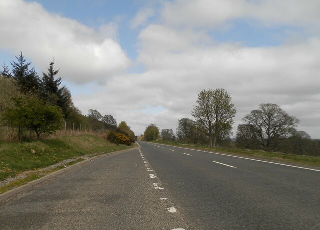
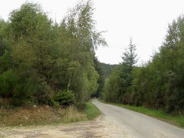
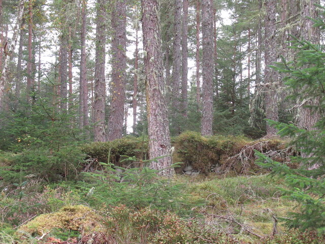
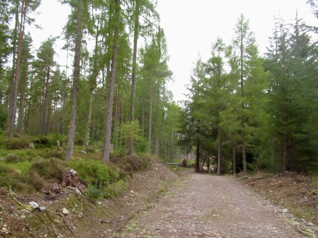
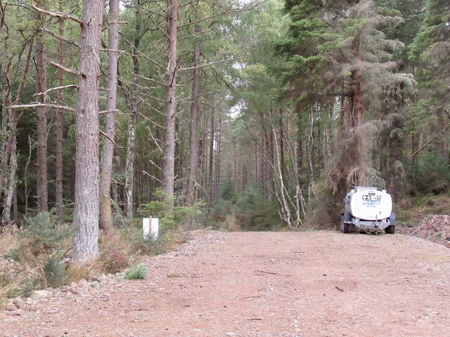
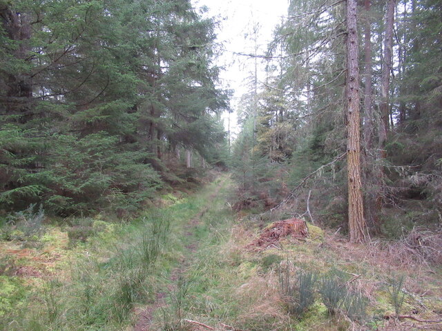
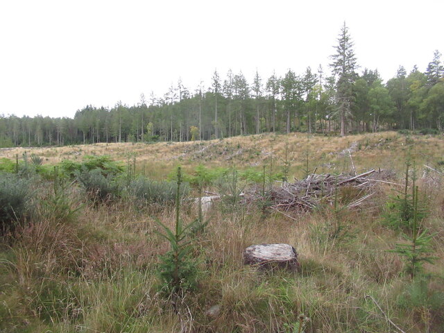
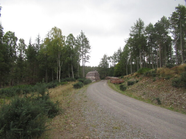
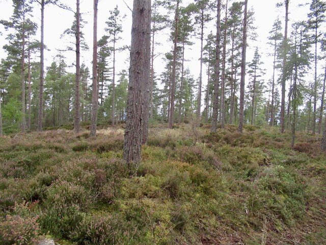
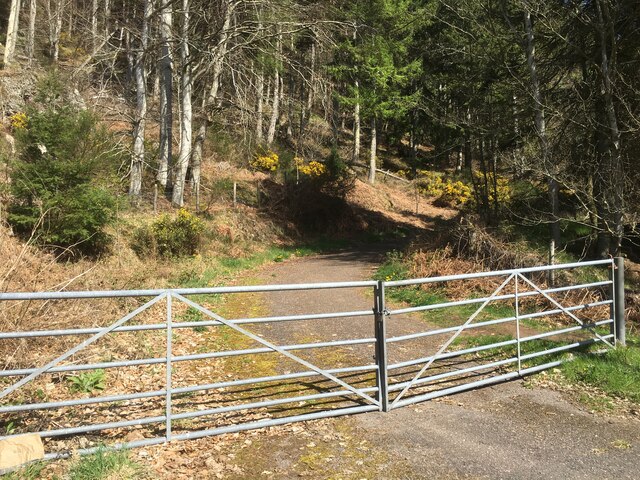
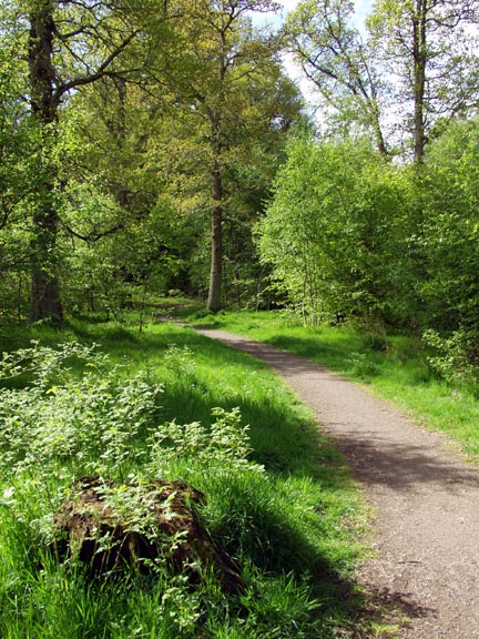
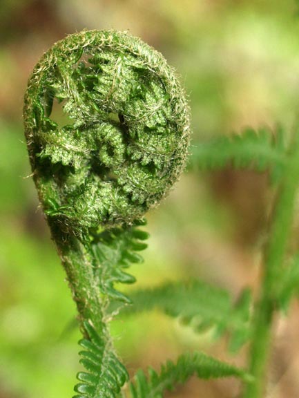
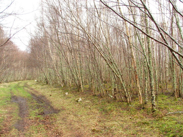
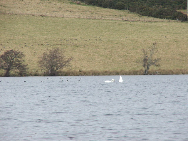
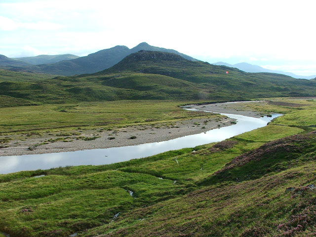
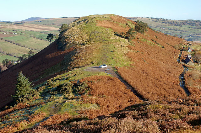
Brahan Wood Images
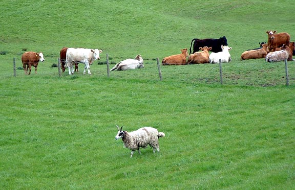
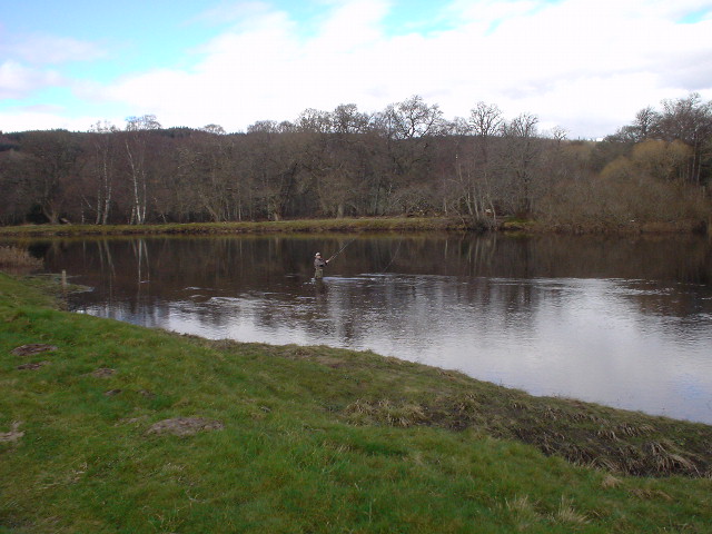
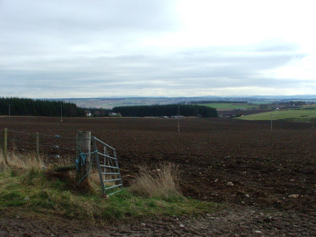
Images are sourced within 2km of 57.566601/-4.4924525 or Grid Reference NH5155. Thanks to Geograph Open Source API. All images are credited.

Brahan Wood is located at Grid Ref: NH5155 (Lat: 57.566601, Lng: -4.4924525)
Unitary Authority: Highland
Police Authority: Highlands and Islands
What 3 Words
///layers.weekend.typically. Near Conon Bridge, Highland
Nearby Locations
Related Wikis
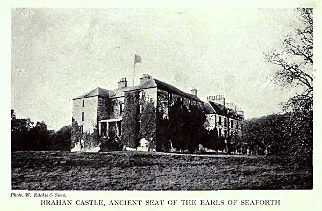
Brahan Castle
Brahan Castle was situated 3.5 miles (5.6 km) south-west of Dingwall, in Easter Ross, Highland Scotland. The castle belonged to the Earls of Seaforth,...
Siege of Brahan
The siege of Brahan took place in Scotland in November 1715 and was part of the Jacobite rising of 1715. Highlanders loyal to the British-Hanoverian government...
River Orrin
The River Orrin is a river in former Ross-shire, Highland, northern Scotland. The River Orrin is dammed in Glen Orrin making the Orrin Reservoir. It later...
Battle of Drumchatt (1497)
The Battle of Drumchatt was a Scottish clan battle that took place in 1497. The Clan Mackenzie and possibly the Clan Munro defeated the Clan MacDonald...
Nearby Amenities
Located within 500m of 57.566601,-4.4924525Have you been to Brahan Wood?
Leave your review of Brahan Wood below (or comments, questions and feedback).